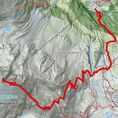
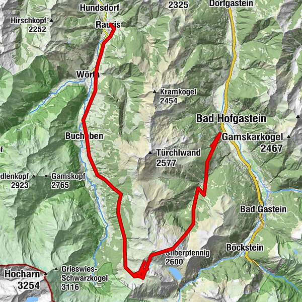
Cross the montain Gadauner Hochalm Stanzscharte Bucheben Rauris

Escursionismo


- Descrizione rapida
-
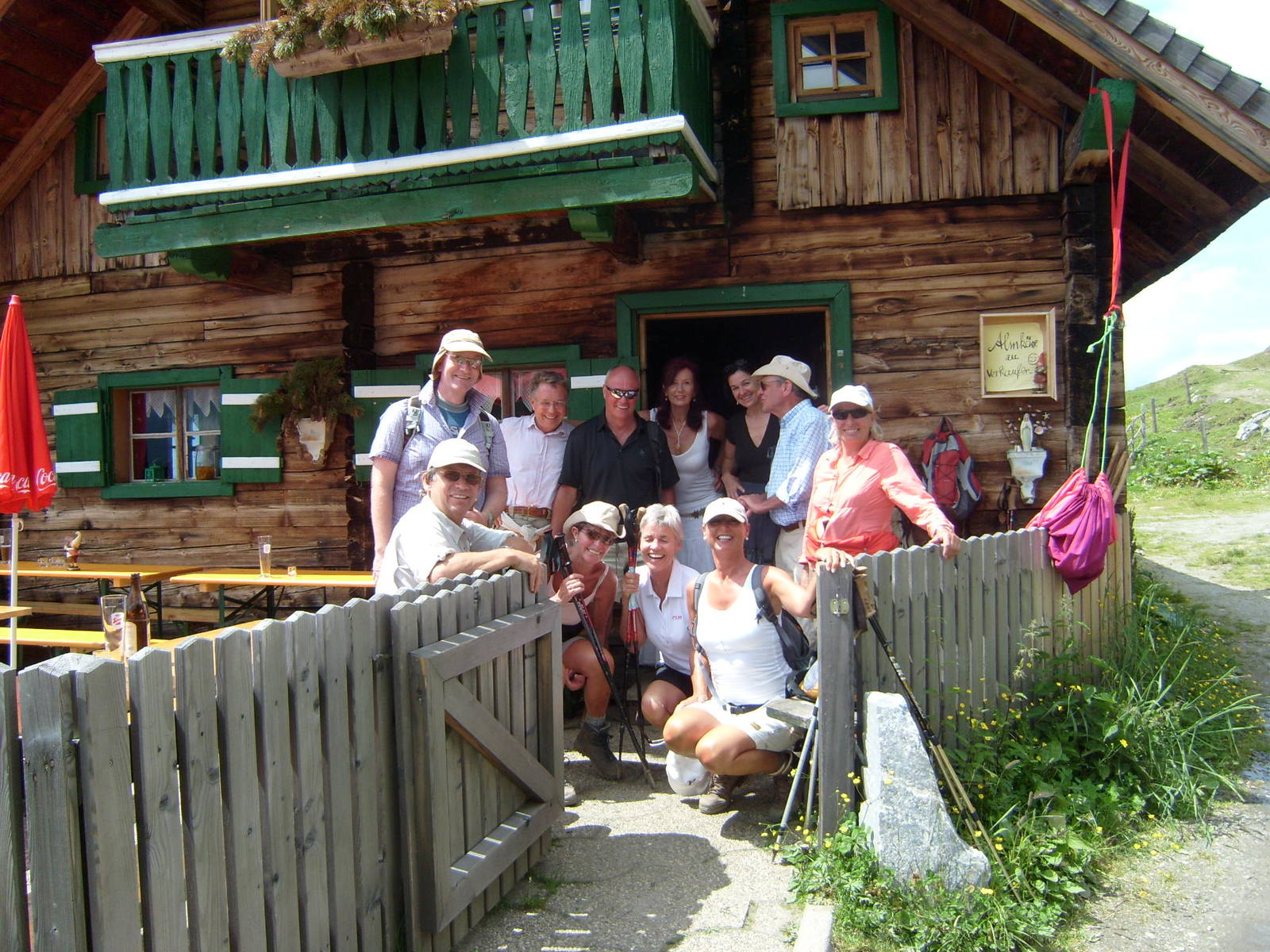
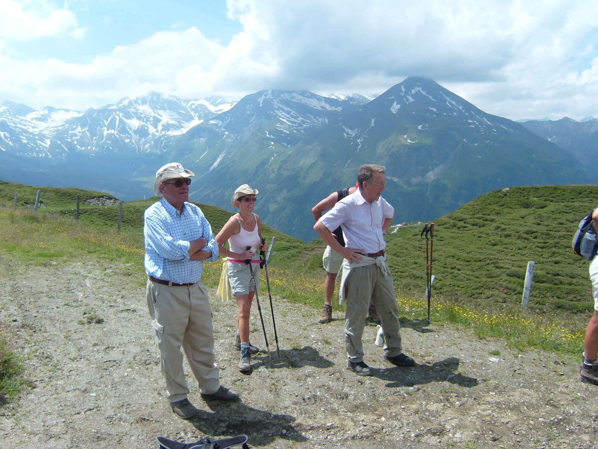
Famous surprise tour with beautiful flowers und naturjuwel saw in the Salzburger grasmontain Nationalpark Hohe Tauern
- Percorso
-
Bad Hofgastein1,0 kmLechner Kapelle3,3 kmSchattbachalm7,1 kmSilberpfennig (2.600 m)10,6 kmBockhart (2.260 m)19,2 kmBucheben30,1 kmJausenstation Kohlhub37,0 kmRauris39,4 km
- Punto più alto
- 2.403 m
- Profilo altimetrico
-

- Autore
-
Il tour Cross the montain Gadauner Hochalm Stanzscharte Bucheben Rauris è utilizzato da outdooractive.com fornito.
GPS Downloads


Altri tour nelle regioni