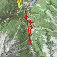
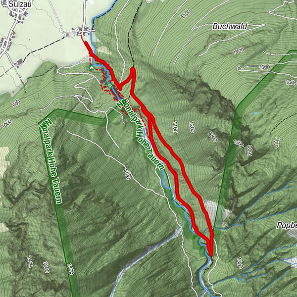
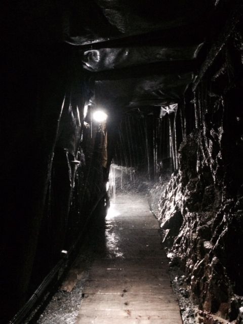
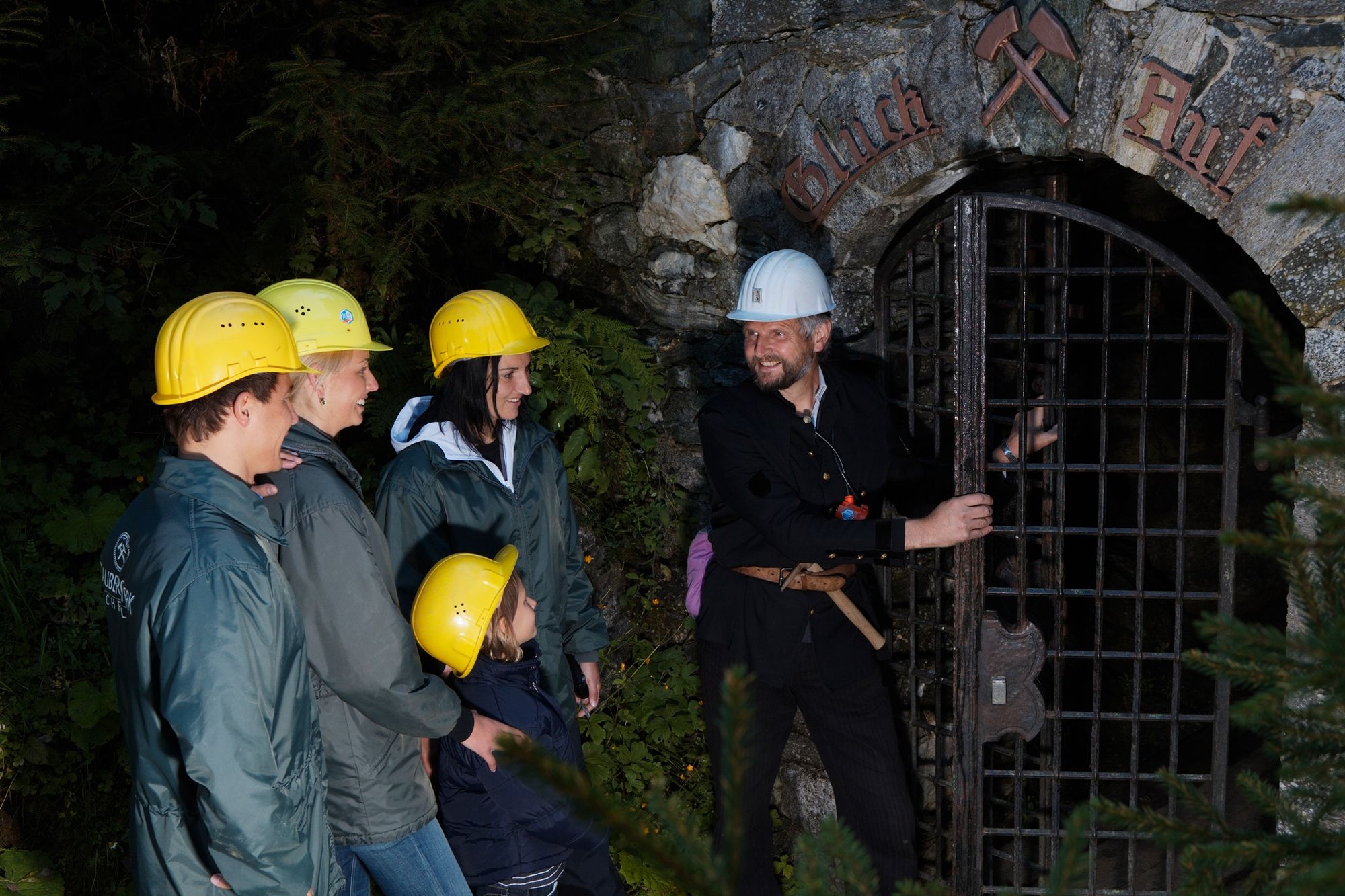
Schaubergwerk Hochfeld über Geolehrweg im Untersulzbachtal

Escursionismo


- Descrizione rapida
-
Tolle Wanderung zum Schaubergwerk Hochfeld (Kupferbergwerk) inkl. Wasserfallrundweg "Untersulzbach".
Tipp: von Anfang Juli bis ca. Mitte September finden Schaubergwerk-Führungen statt (Anmeldung am Vortag erforderlich).
- Difficoltà
-
facile
- Valutazione
-
- La stagione migliore
-
genfebmaraprmaggiulugagosetottnovdic
- Punto più alto
- 1.119 m
- Destinazione
-
Gasthof Schütthof
- Profilo altimetrico
-


-

-
AutoreIl tour Schaubergwerk Hochfeld über Geolehrweg im Untersulzbachtal è utilizzato da outdooractive.com fornito.
GPS Downloads


Info generali
Clima curativo
Altri tour nelle regioni