
© Tourismusverband Schladming - Schladming Dachstein
© Erlebnisregion Schladming-Dachstein - Tourismusverband Schladming
© Erlebnisregion Schladming-Dachstein - Schladming Dachstein
© Gerhard Pilz - www.gpic.at - Gerhard Pilz
© Gerhard Pilz

© Herbert Raffalt
© Erlebnisregion Schladming-Dachstein - Schladming Dachstein

© Erlebnisregion Schladming-Dachstein - Herbert Raffalt
© Erlebnisregion Schladming-Dachstein - Schladming Dachstein

© Tourismusverband Schladming - Gerhard Pilz - Gerhard Pilz

- Descrizione rapida
-
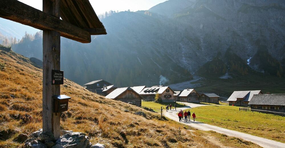
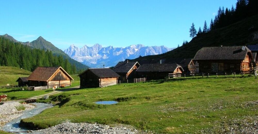
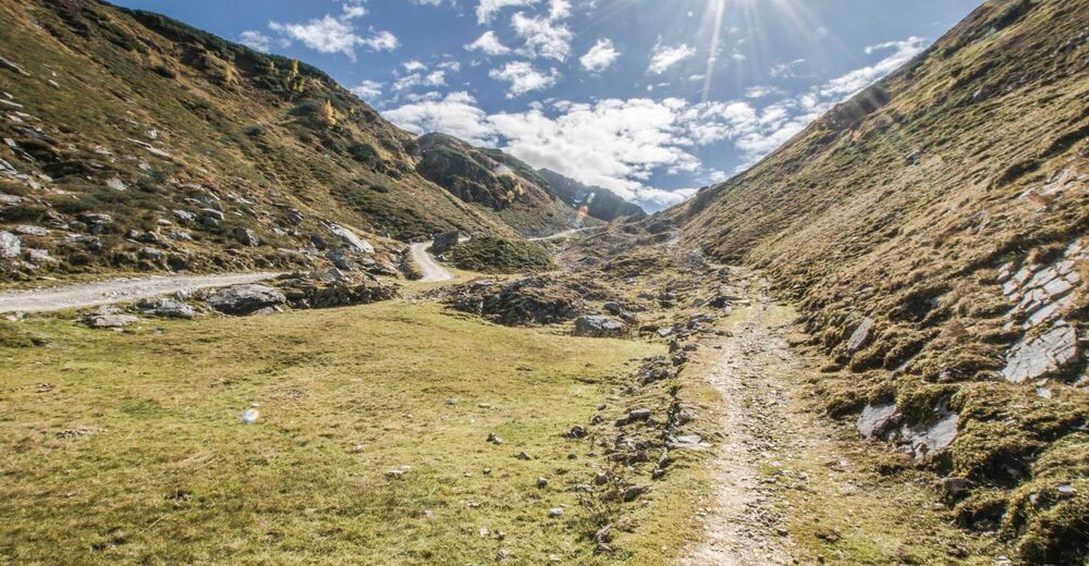
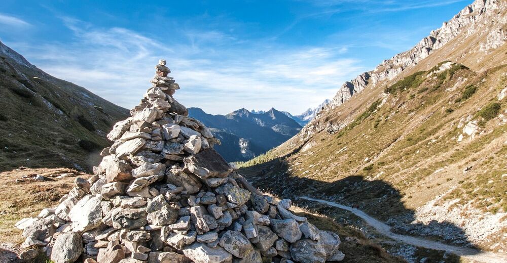
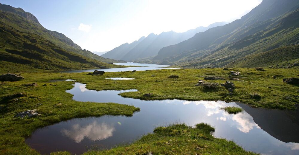
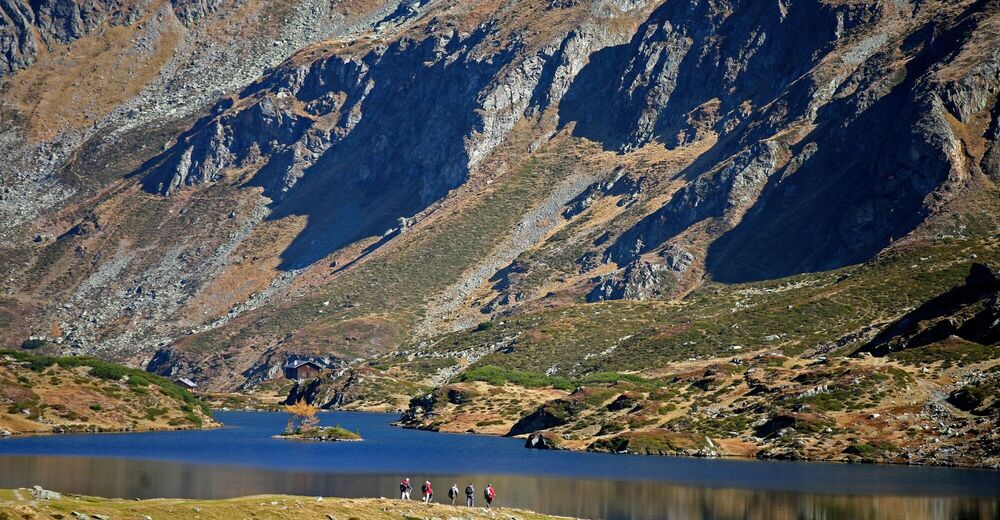
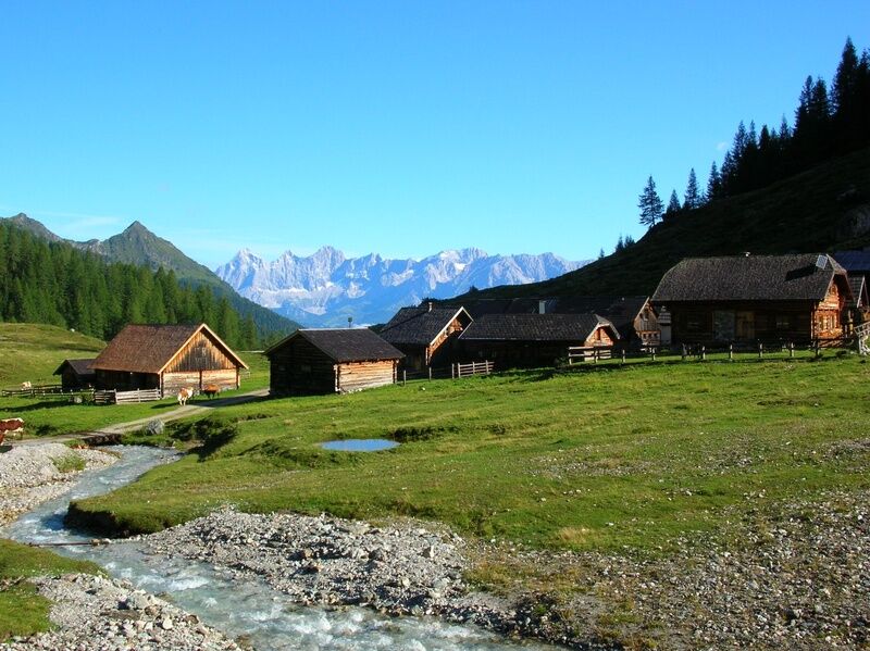
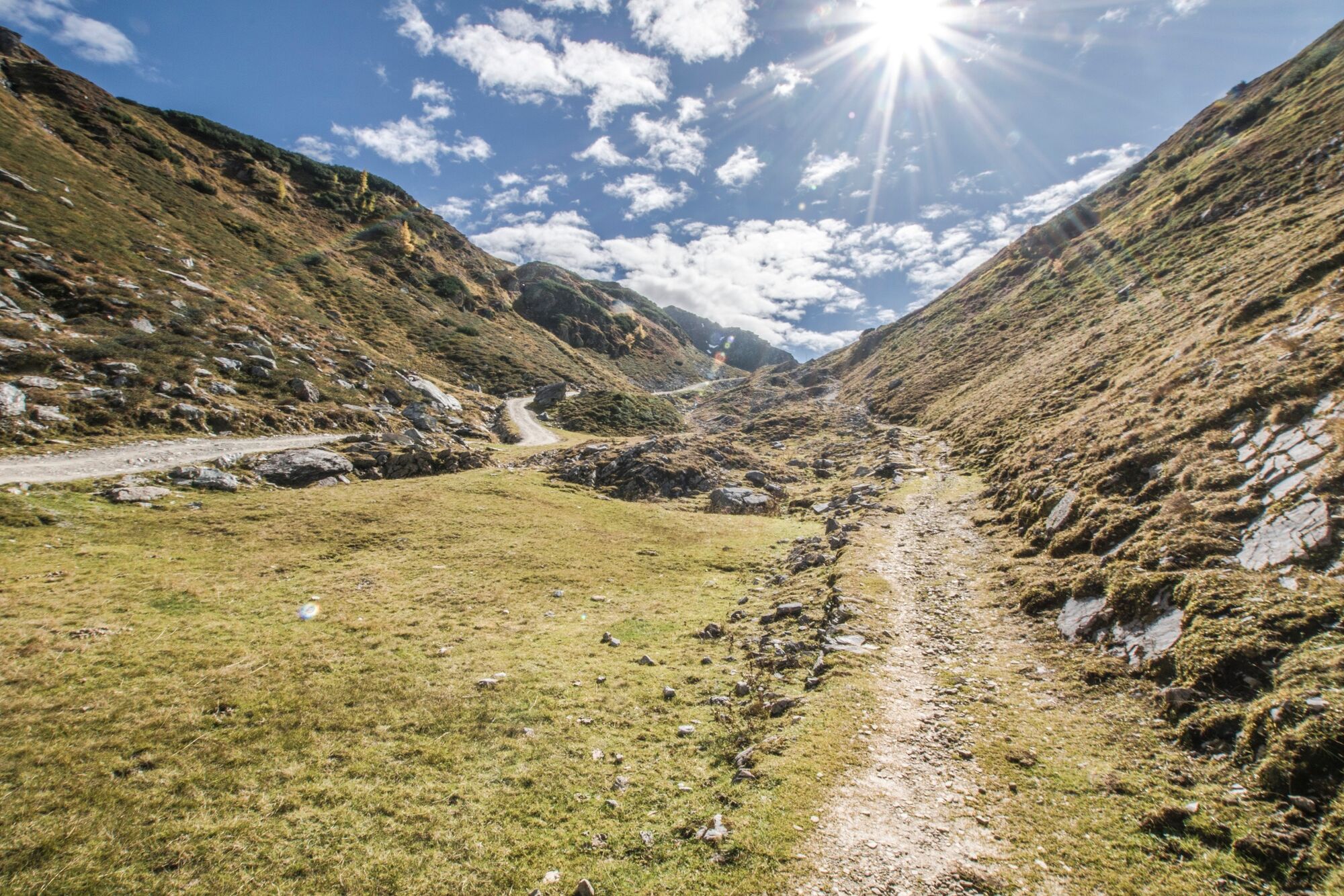
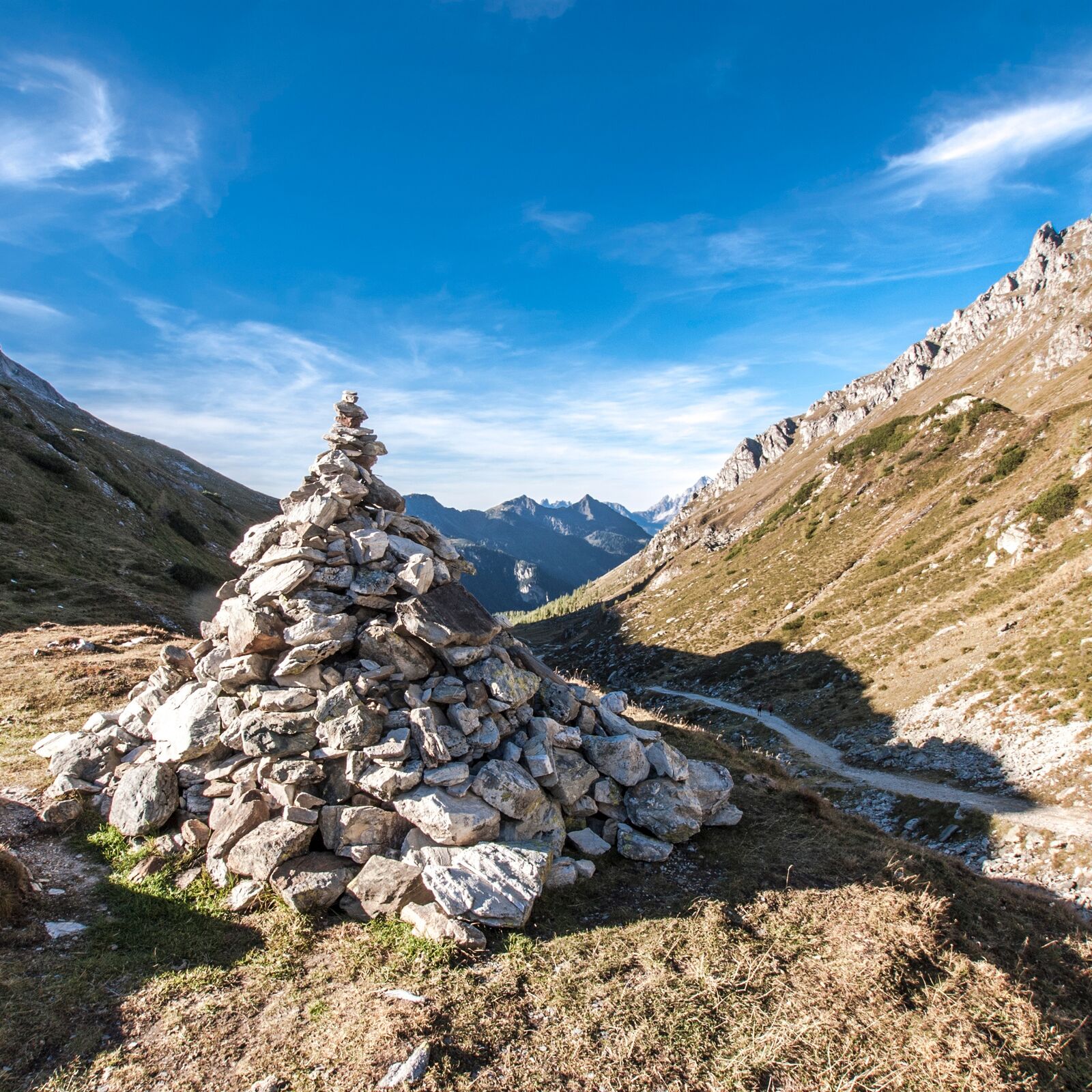
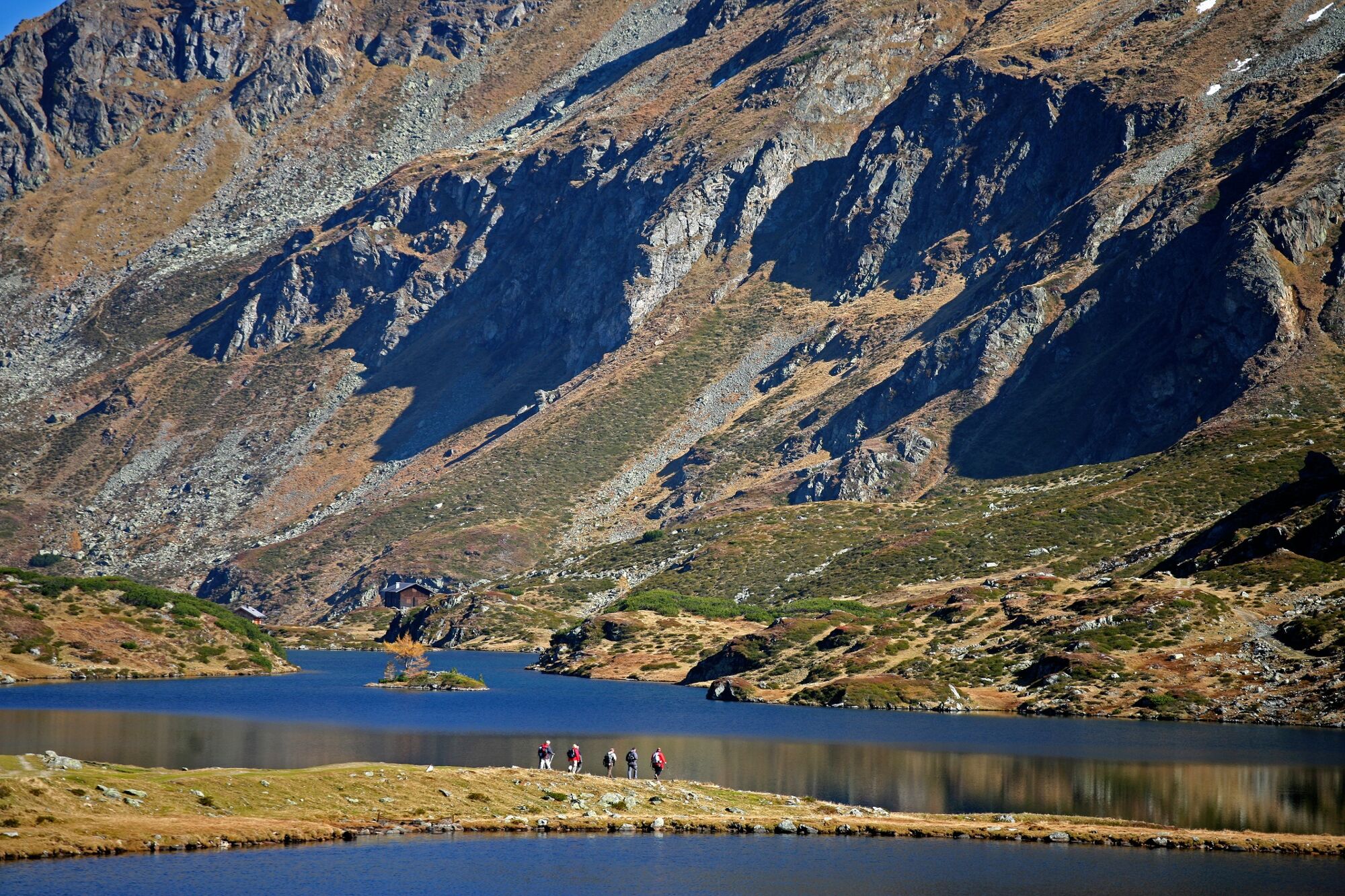
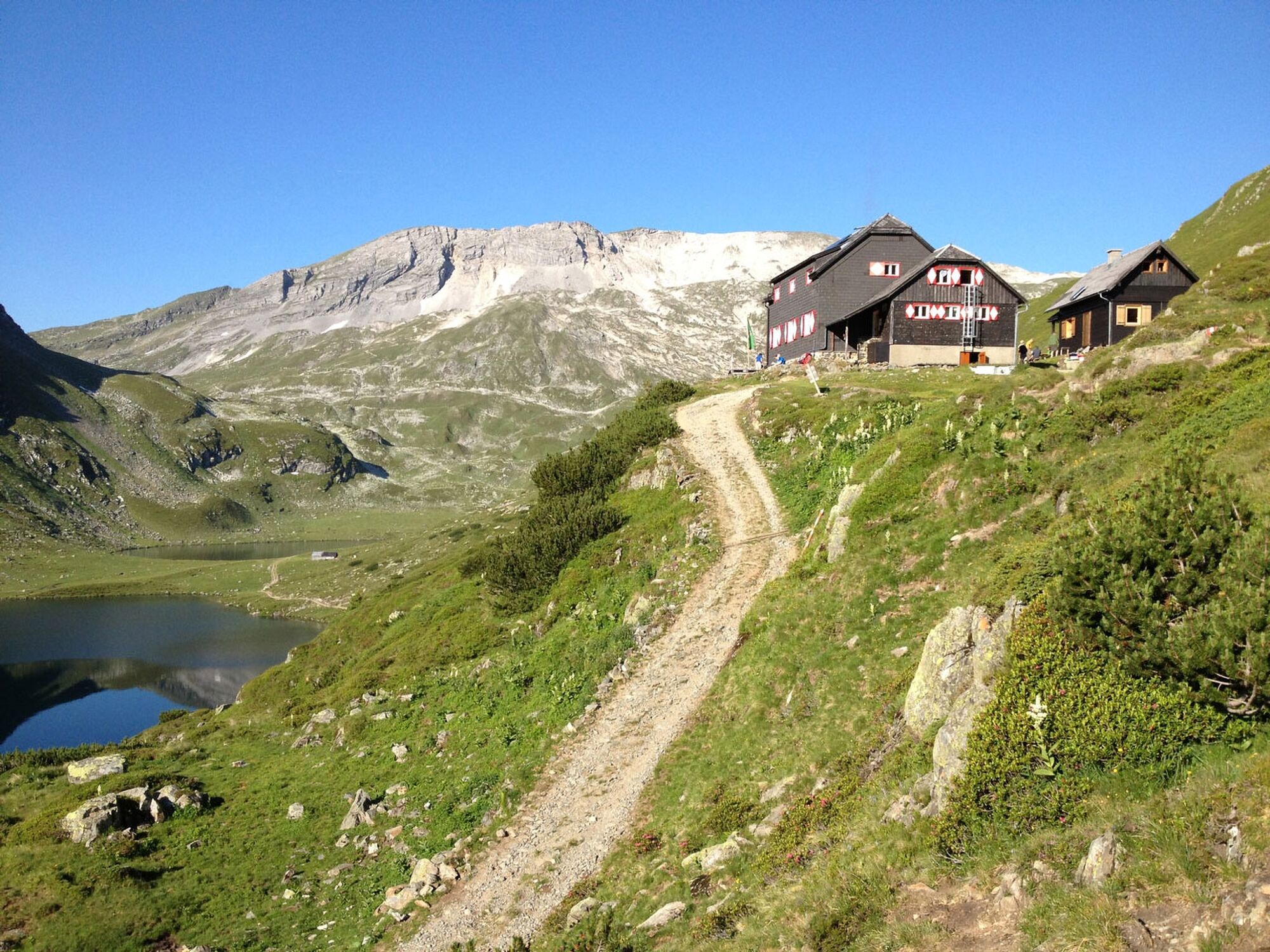
Easy, short hike at elevations between 1700 and 1900 m, on a good trail to two very photogenic mountain lakes with splendid views of the Dachstein.
- Difficoltà
-
facile
- Valutazione
-
- Percorso
-
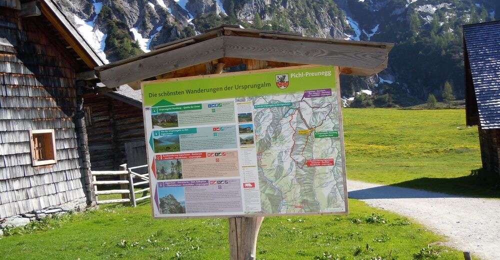
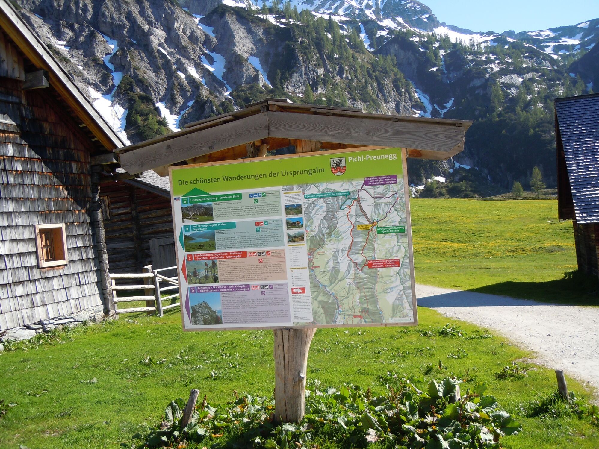
Ursprungalm0,0 kmUrsprung0,2 kmGiglachsee Hütte (1.955 m)2,5 kmIgnaz-Mattis-Hütte (1.986 m)4,2 kmUrsprungalm9,6 km
- La stagione migliore
-
genfebmaraprmaggiulugagosetottnovdic
- Punto più alto
- 1.986 m
- Destinazione
-
Ursprungal, Preuneggtal valley
- Profilo altimetrico
-


-

-
AutoreIl tour From the Ursprungalm to the Giglach Lakes è utilizzato da outdooractive.com fornito.
GPS Downloads


Info generali
Punto di ristoro
Flora
Fauna
Promettente
Altri tour nelle regioni
-
Schladming - Dachstein
3015
-
Obertauern
1645
-
Tweng
308


