- Descrizione rapida
-
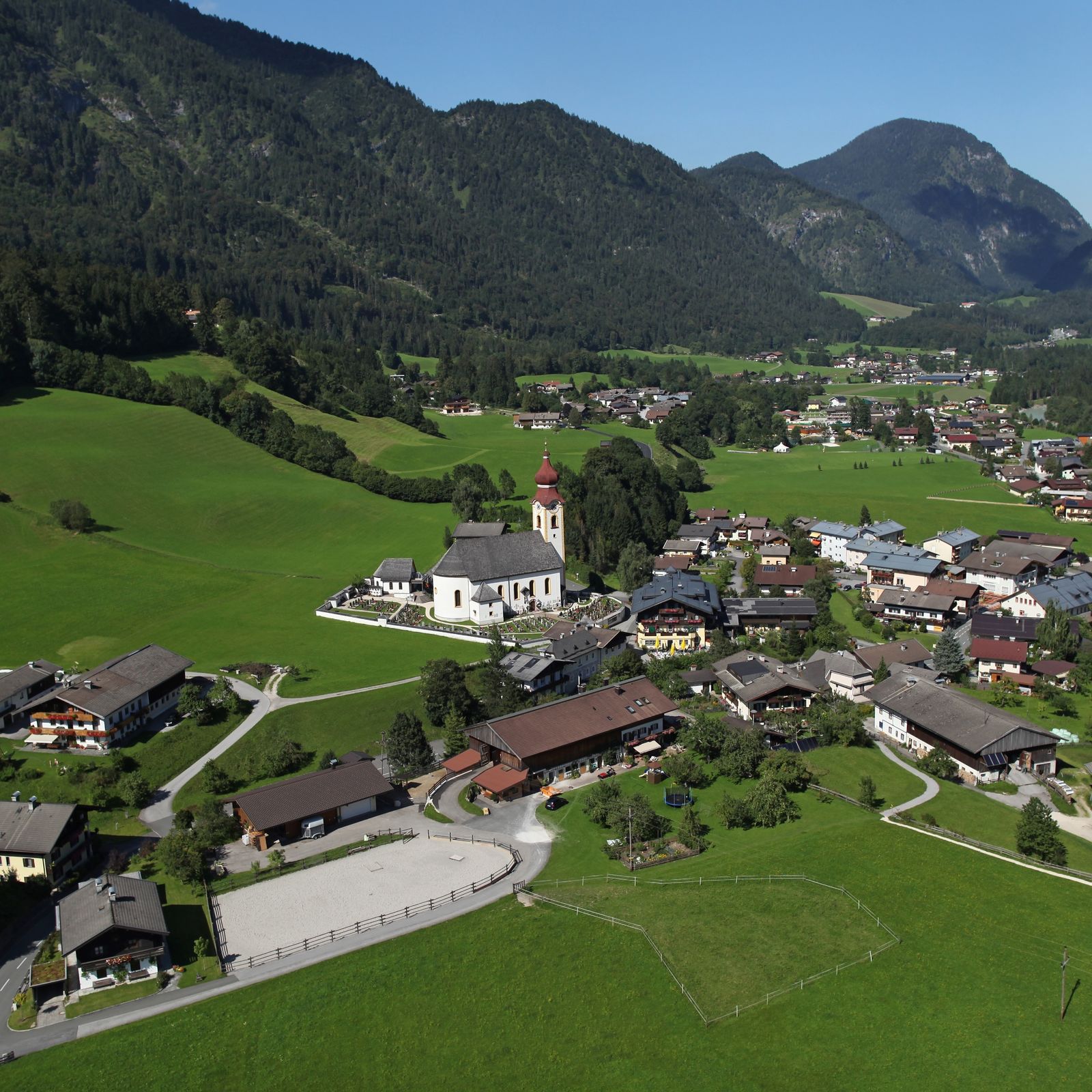
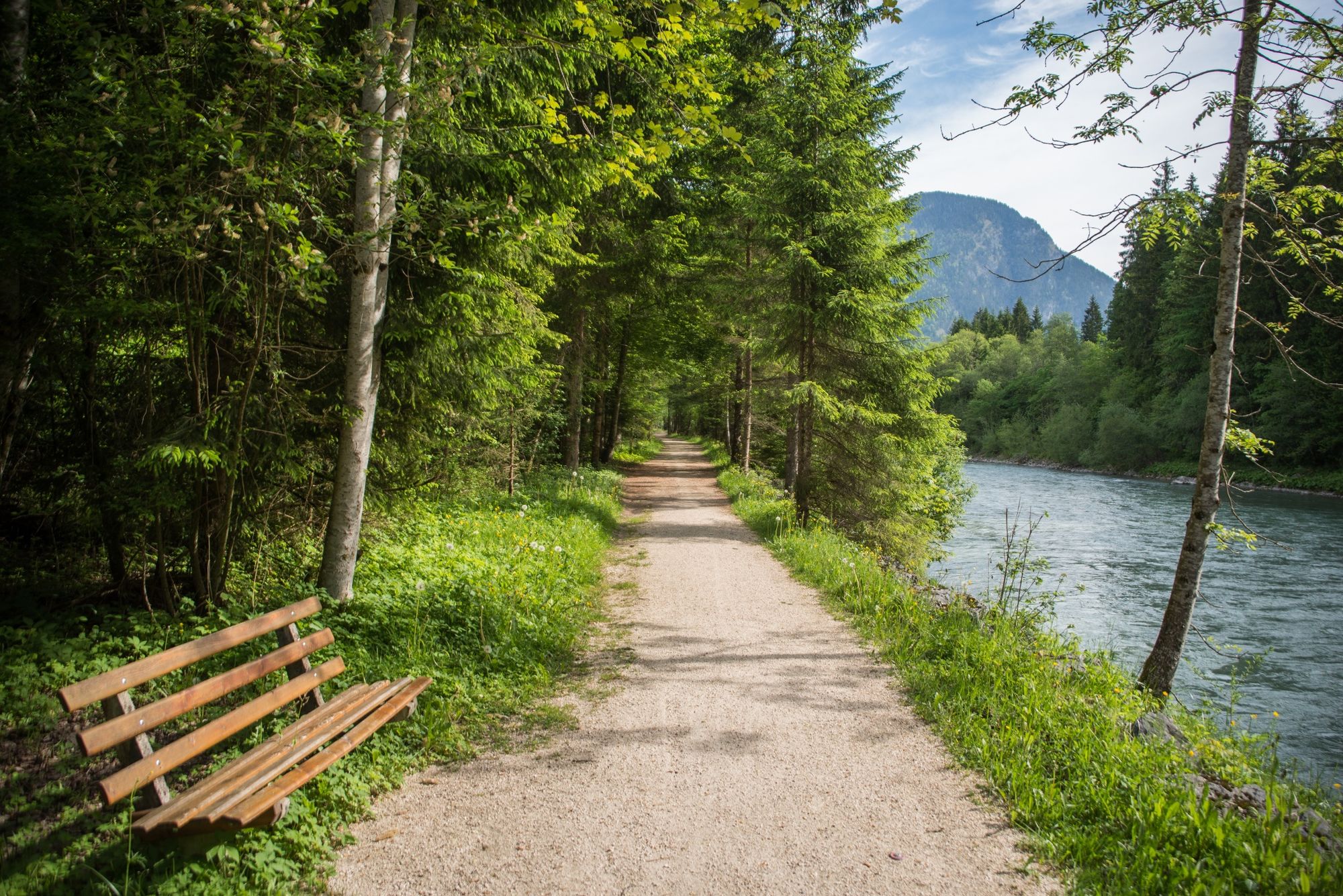
Hiking tour past the members of the association "Unken, weil's schmeckt" - specialities directly from the farmer.
- Difficoltà
-
intermedio
- Valutazione
-
- Percorso
-
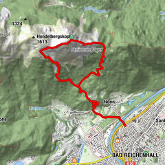
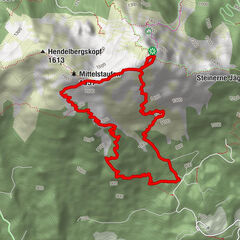
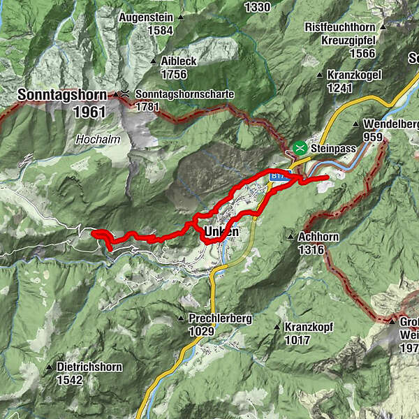
Unken0,2 kmKeßler3,7 kmÖlbergkapelle8,2 kmKalvarienberg (777 m)8,5 kmSonnberg9,9 kmKalvarienberg (777 m)15,6 kmÖlbergkapelle15,9 kmUnken17,0 km
- La stagione migliore
-
genfebmaraprmaggiulugagosetottnovdic
- Punto più alto
- 855 m
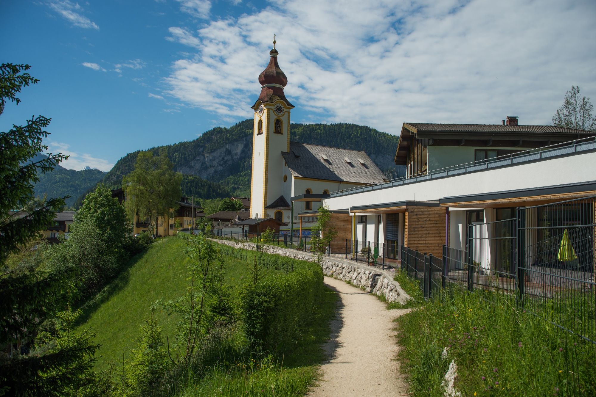
- Destinazione
-
Unken Town Hall
- Profilo altimetrico
-

-

-
AutoreIl tour Unken, because it tastes good è utilizzato da outdooractive.com fornito.
GPS Downloads


Info generali
Punto di ristoro
Altri tour nelle regioni
-
Salzburger Saalachtal
1855
-
Unken - Heutal
466