Almenrundweg Steinkaralm and Weissenhofalm (714,85,77)

Escursionismo
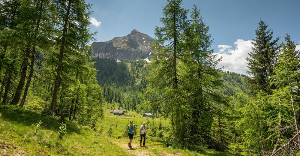
© wandern-steinkaralm-c-wagrain-kleinarl-tourismus-lorenz-masser - Lorenz Masser
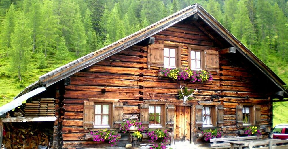
© Wagrain-Kleinarl Tourismus - Agnes Moser

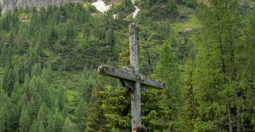
© Wagrain-Kleinarl Tourismus - Agnes Moser
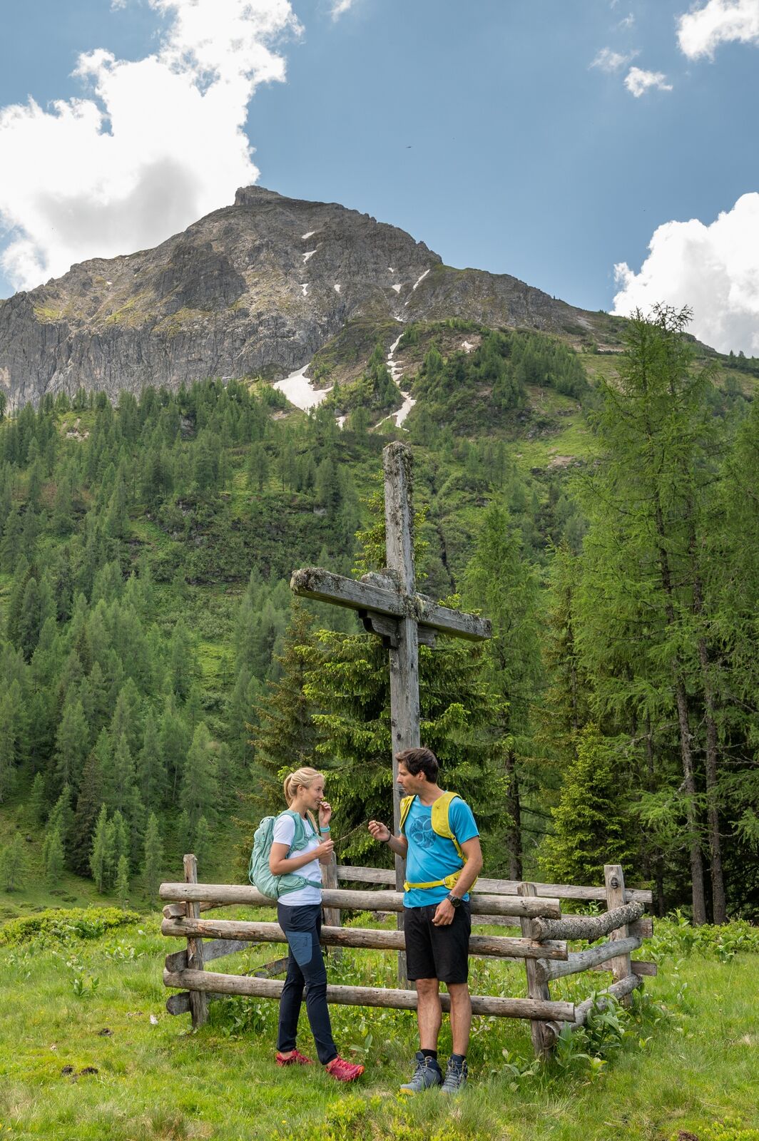
© wandern-steinkaralm-c-wagrain-kleinarl-tourismus-lorenz-masser - Lorenz Masser

- Descrizione rapida
-
Nice circular hike from the center of Kleinarl to the Steinkaralm and Weißenhofalm.
- Difficoltà
-
intermedio
- Valutazione
-
- Percorso
-
KleinarlPfarrkirche zum hl. Laurentius0,0 kmSteinkarhütten4,3 kmSteinkaralm4,4 kmWeissenhofalm6,1 kmPfarrkirche zum hl. Laurentius10,8 kmKleinarl10,8 km
- La stagione migliore
-
genfebmaraprmaggiulugagosetottnovdic
- Punto più alto
- 1.825 m
- Destinazione
-
center Kleinarl
- Profilo altimetrico
-


-

-
AutoreIl tour Almenrundweg Steinkaralm and Weissenhofalm (714,85,77) è utilizzato da outdooractive.com fornito.
GPS Downloads


Info generali
Punto di ristoro
Promettente
Altri tour nelle regioni


