
© Wagrain-Kleinarl Tourismus - Erwin Trampitsch
© wandern-steinkaralm-c-wagrain-kleinarl-tourismus-lorenz-masser - Lorenz Masser
© wandern-steinkaralm-c-wagrain-kleinarl-tourismus-lorenz-masser - Lorenz Masser
© wandern-steinkaralm-c-wagrain-kleinarl-tourismus-lorenz-masser - Lorenz Masser
© Wagrain-Kleinarl Tourismus - Agnes Moser
© Wagrain-Kleinarl Tourismus - Agnes Moser
© Wagrain-Kleinarl Tourismus - Agnes Moser
© Wagrain-Kleinarl Tourismus - Agnes Moser
© Wagrain-Kleinarl Tourismus - Agnes Moser
© Wagrain-Kleinarl Tourismus - Agnes Moser

- Descrizione rapida
-
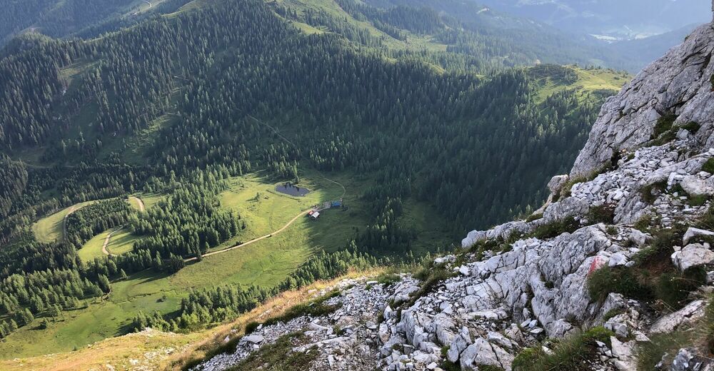
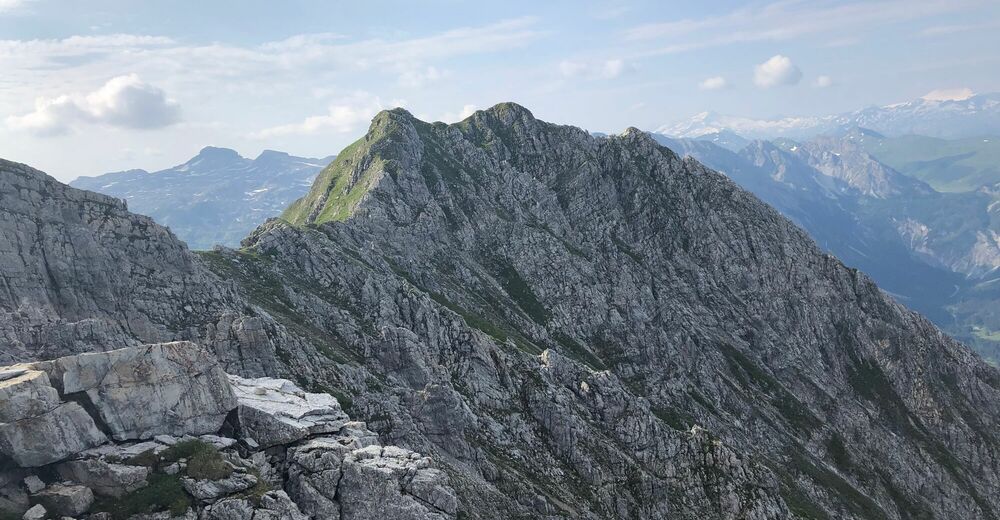
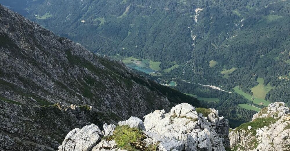
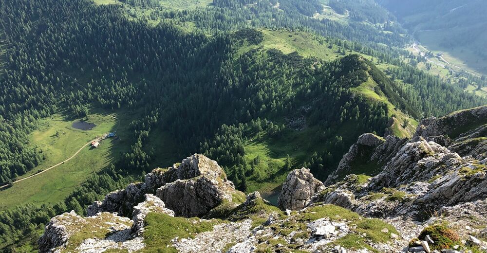
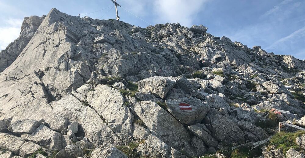
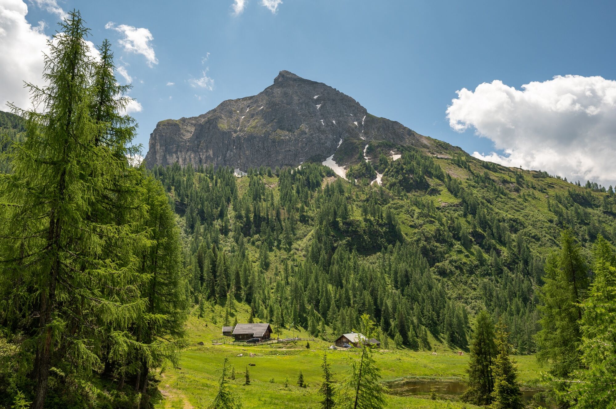
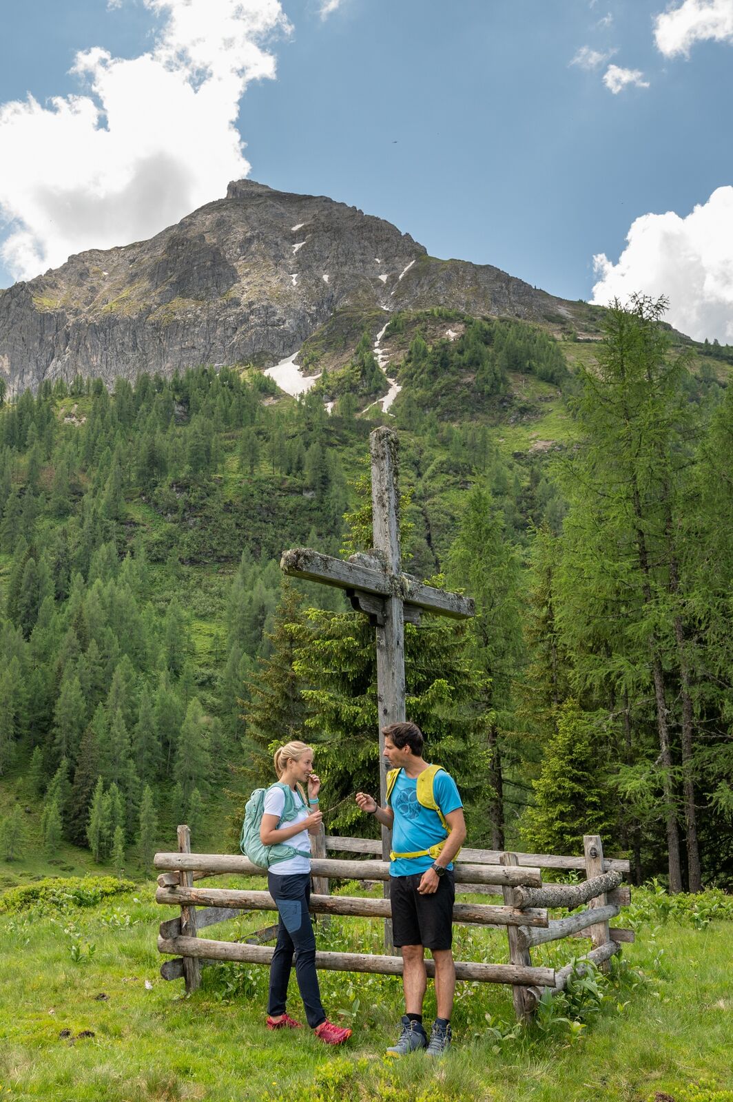
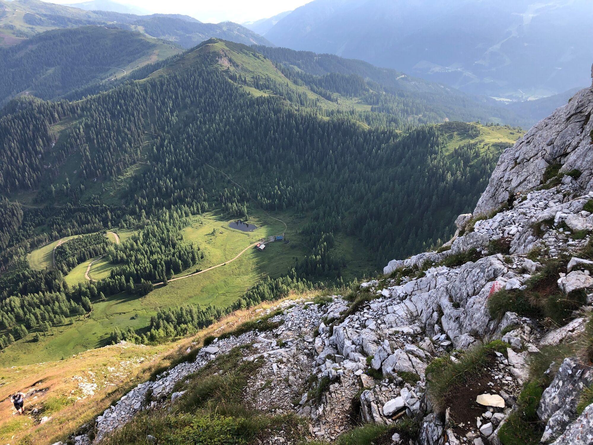
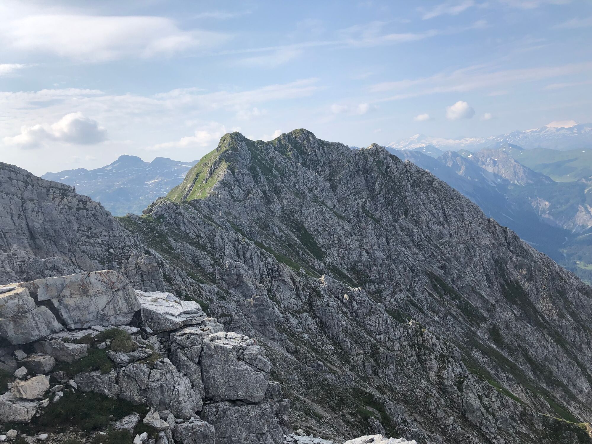
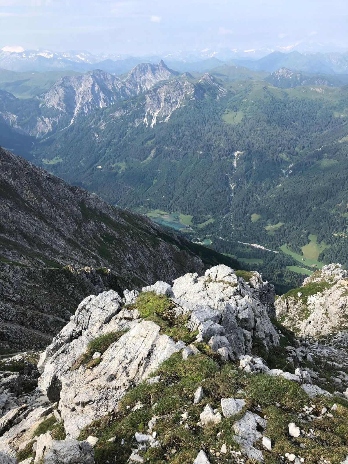
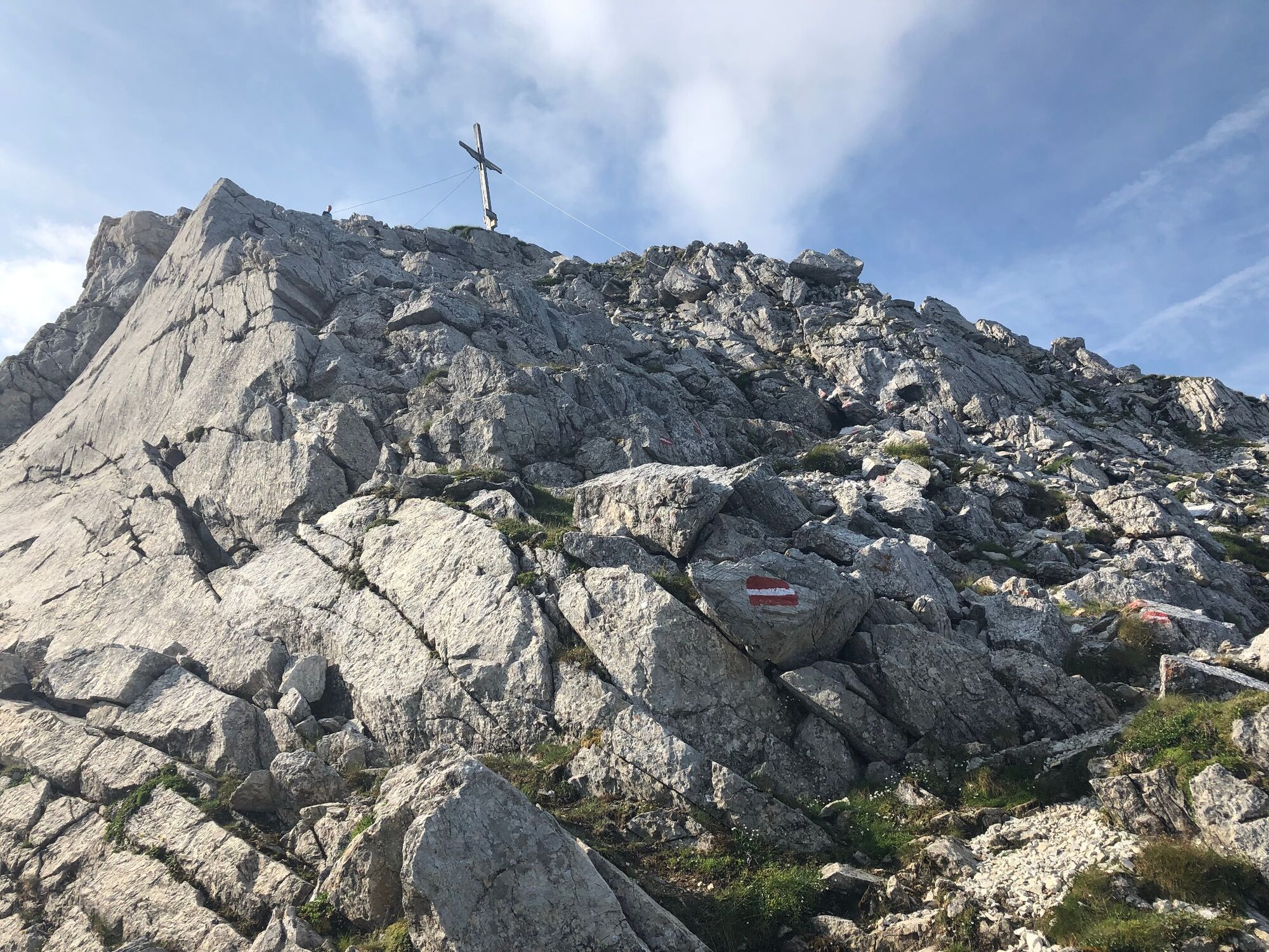
A varied mountain tour across meadows and through the forest, past the Steinkaralm to the Blue Lake. From there on the rock face, the following climb in easy scrambling to the summit.
- Difficoltà
-
difficile
- Valutazione
-
- Percorso
-
Kleinarl0,0 kmPfarrkirche zum hl. Laurentius0,1 kmSteinkarhütten4,6 kmEnnskraxn (2.410 m)7,3 kmSteinkaralm9,9 kmPfarrkirche zum hl. Laurentius14,4 kmKleinarl14,6 km
- La stagione migliore
-
genfebmaraprmaggiulugagosetottnovdic
- Punto più alto
- 2.346 m
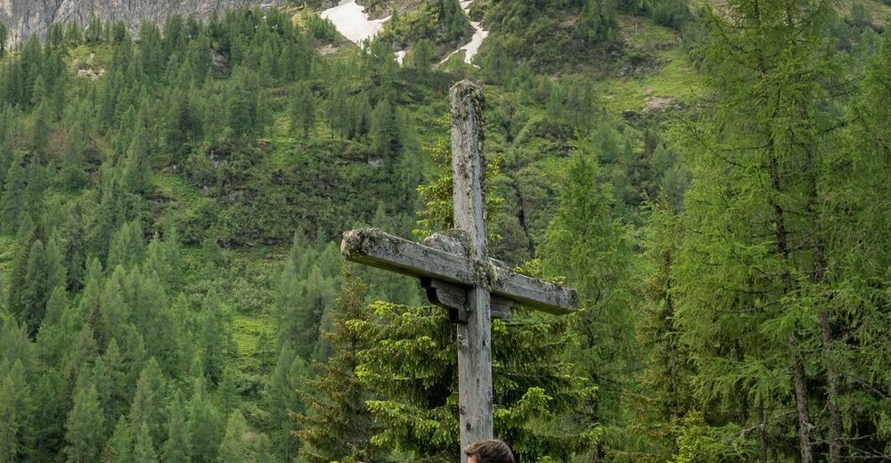
- Destinazione
-
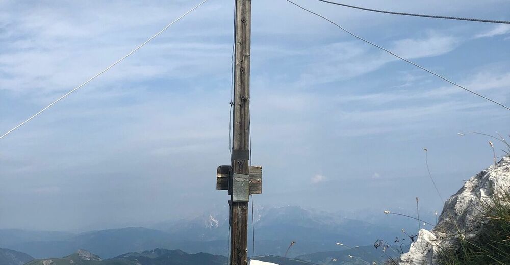
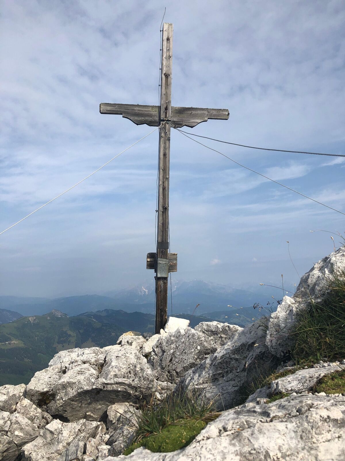
summit cross Ennskraxn (2410m)
- Profilo altimetrico
-


- Autore
-
Il tour Ennskraxn (2410m) è utilizzato da outdooractive.com fornito.
GPS Downloads


Altri tour nelle regioni


