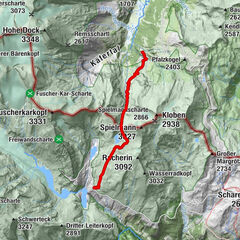
Krefelderhüttenpath / Alexander Enzinger Path - Variant Wüstlau to Maiskogel cable car

Escursionismo

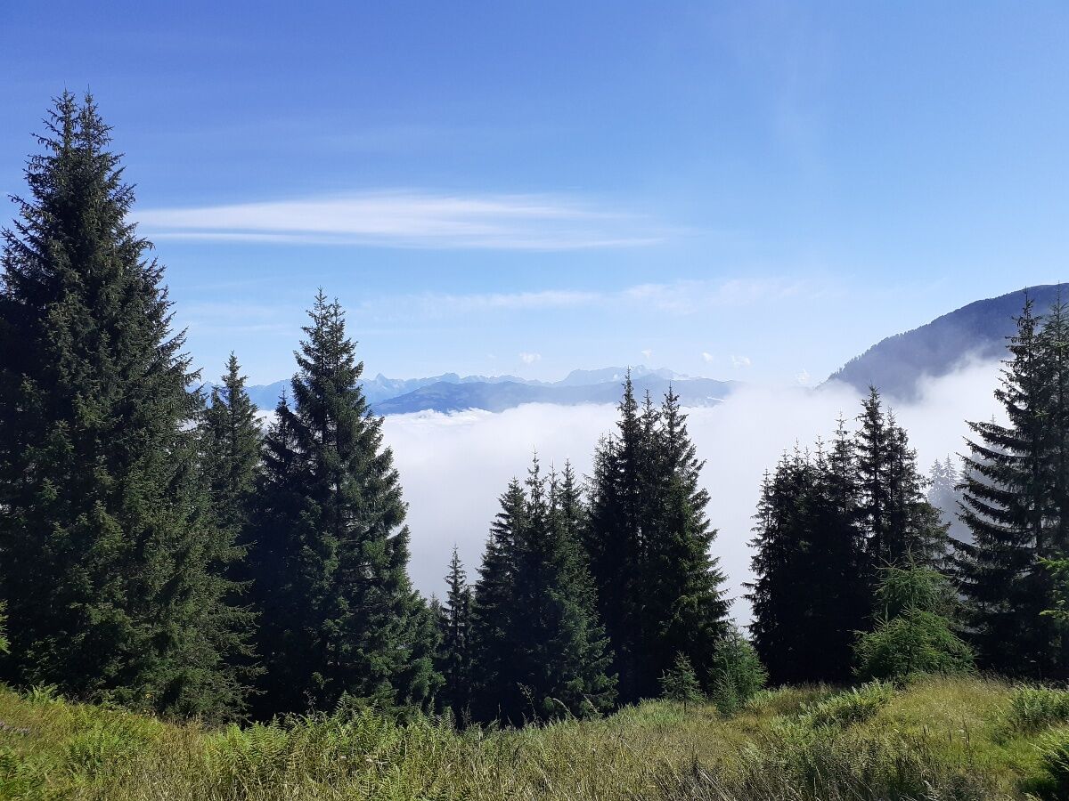
© Zell am See-Kaprun Tourismus GmbH - Domenik Wartbichler

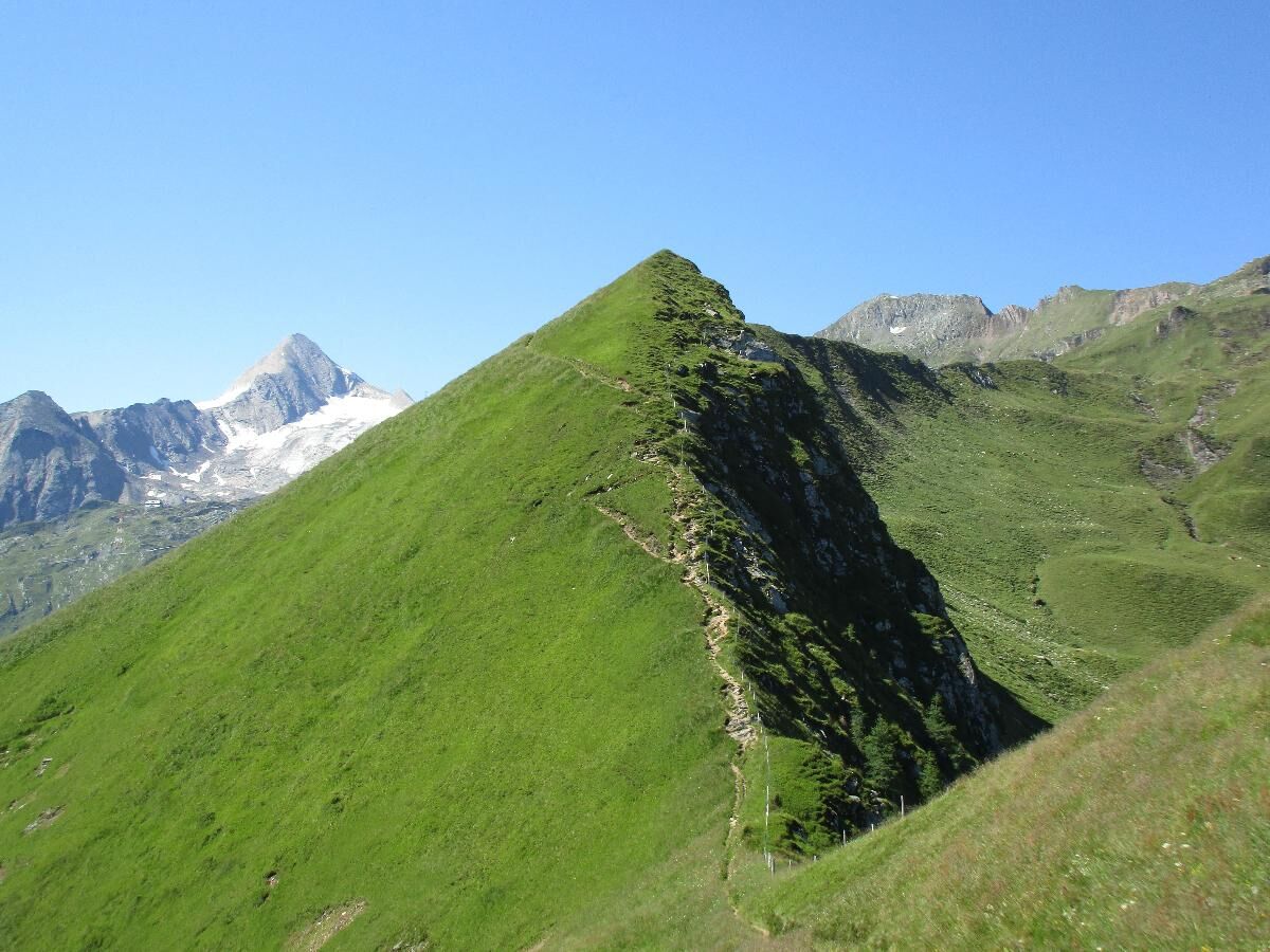
© Zell am See-Kaprun Tourismus GmbH - Birgit Arnold


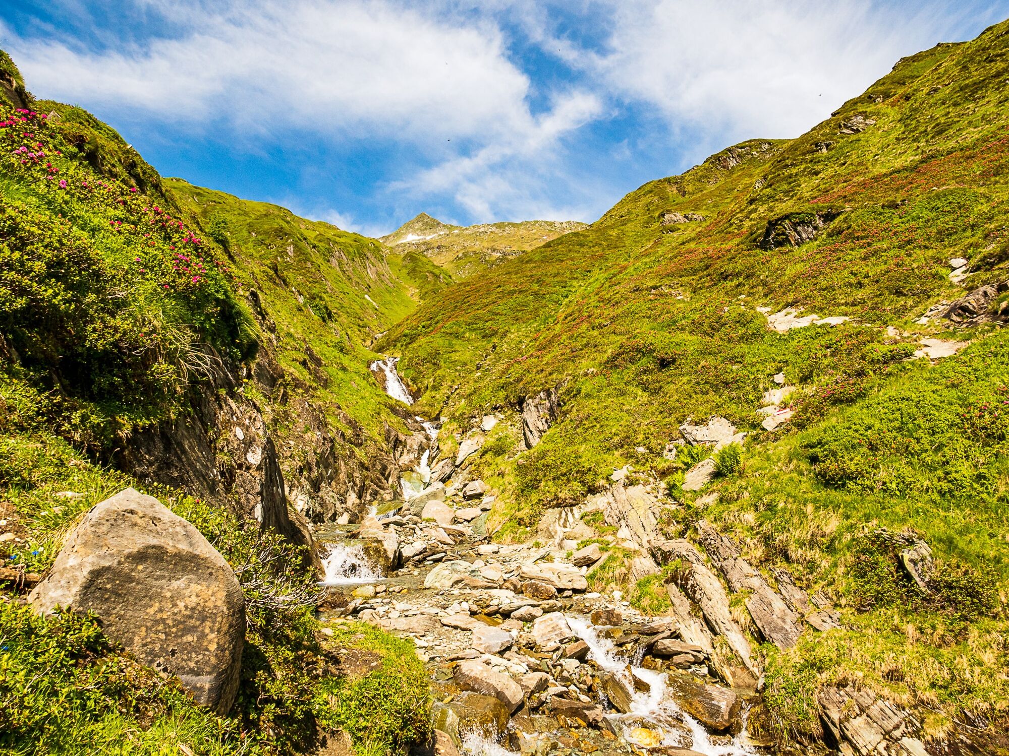
© Zell am See-Kaprun Tourismus GmbH - Domenik Wartbichler

© Zell am See-Kaprun Tourismus GmbH - Domenik Wartbichler

© Zell am See-Kaprun Tourismus GmbH - Domenik Wartbichler

© Zell am See-Kaprun Tourismus GmbH - Domenik Wartbichler

© Zell am See-Kaprun Tourismus GmbH - Domenik Wartbichler

© Kitzsteinhorn

- Descrizione rapida
-
Hike with hut overnight stay
- Difficoltà
-
difficile
- Valutazione
-
- Percorso
-
Salzburger Hütte4,6 kmKrefelder Hütte7,0 kmDreiwallnerhöhe (1.861 m)12,9 kmMaiskogel (1.750 m)13,3 kmGlocknerblick13,8 km
- La stagione migliore
-
genfebmaraprmaggiulugagosetottnovdic
- Punto più alto
- 2.289 m
- Destinazione
-
Kaprun centre
- Profilo altimetrico
-


-

-
AutoreIl tour Krefelderhüttenpath / Alexander Enzinger Path - Variant Wüstlau to Maiskogel cable car è utilizzato da outdooractive.com fornito.
GPS Downloads


Altri tour nelle regioni