


Dati percorsi
19,67km
1.039
- 2.214m
1.720hm
1.676hm
07:43h
- Descrizione rapida
-
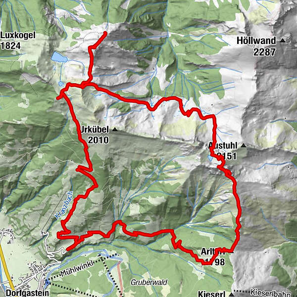
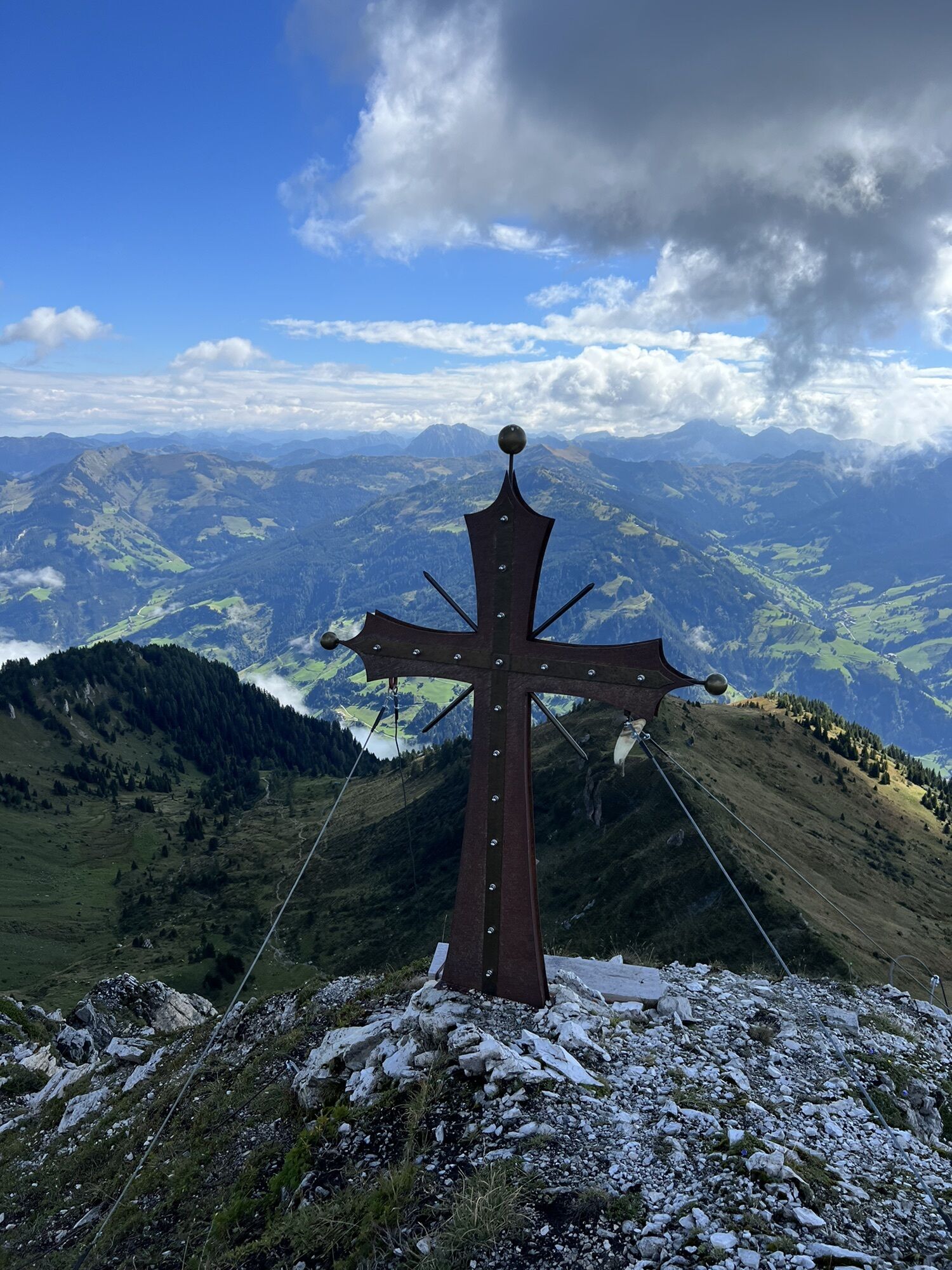
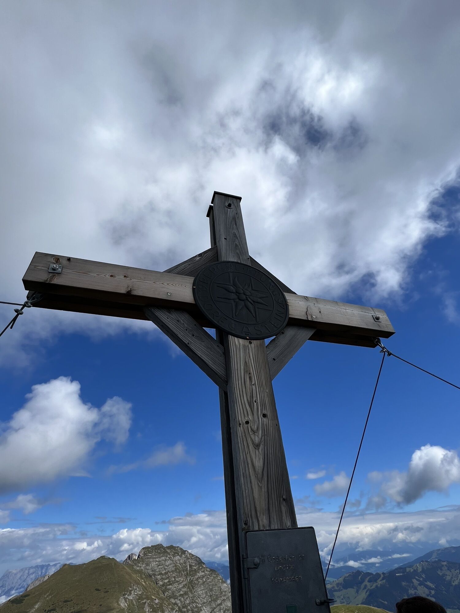
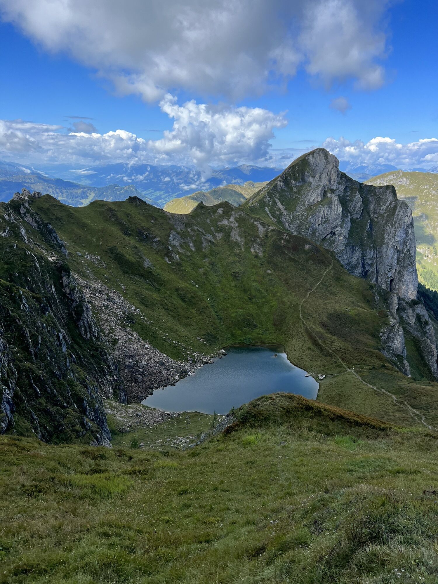
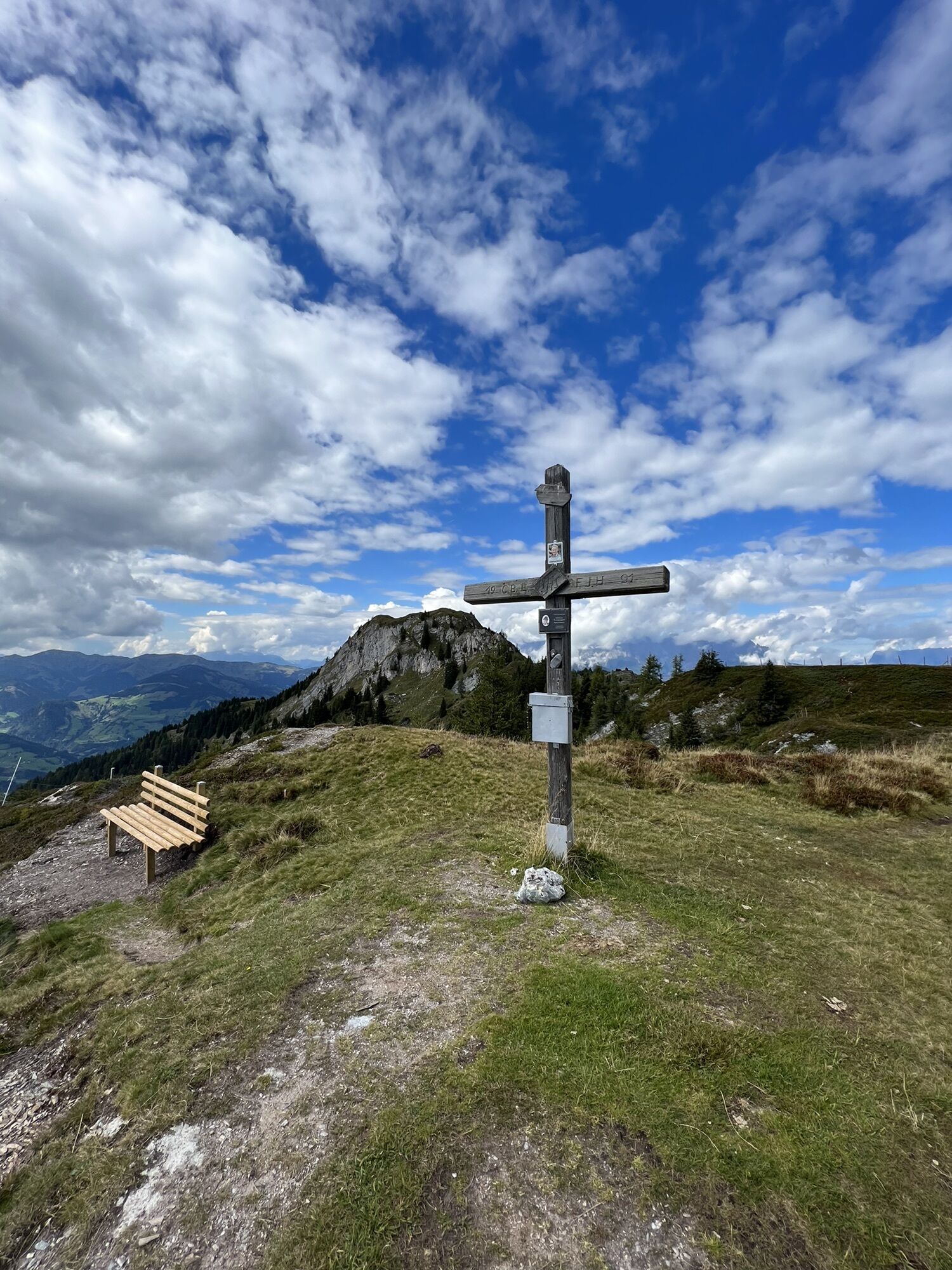
Parkplatz Bergl (1000m) - Arltörl (1798m) - Arlspitze (2140m) - Schuhflicker (2214m) - Schernbergalm (1800m) - Haßeck (2119m) - Gasteiner Höhe (1994m) - Steiner Hochalm (1600m) - Parkplatz Bergl (1000m)
- Difficoltà
-
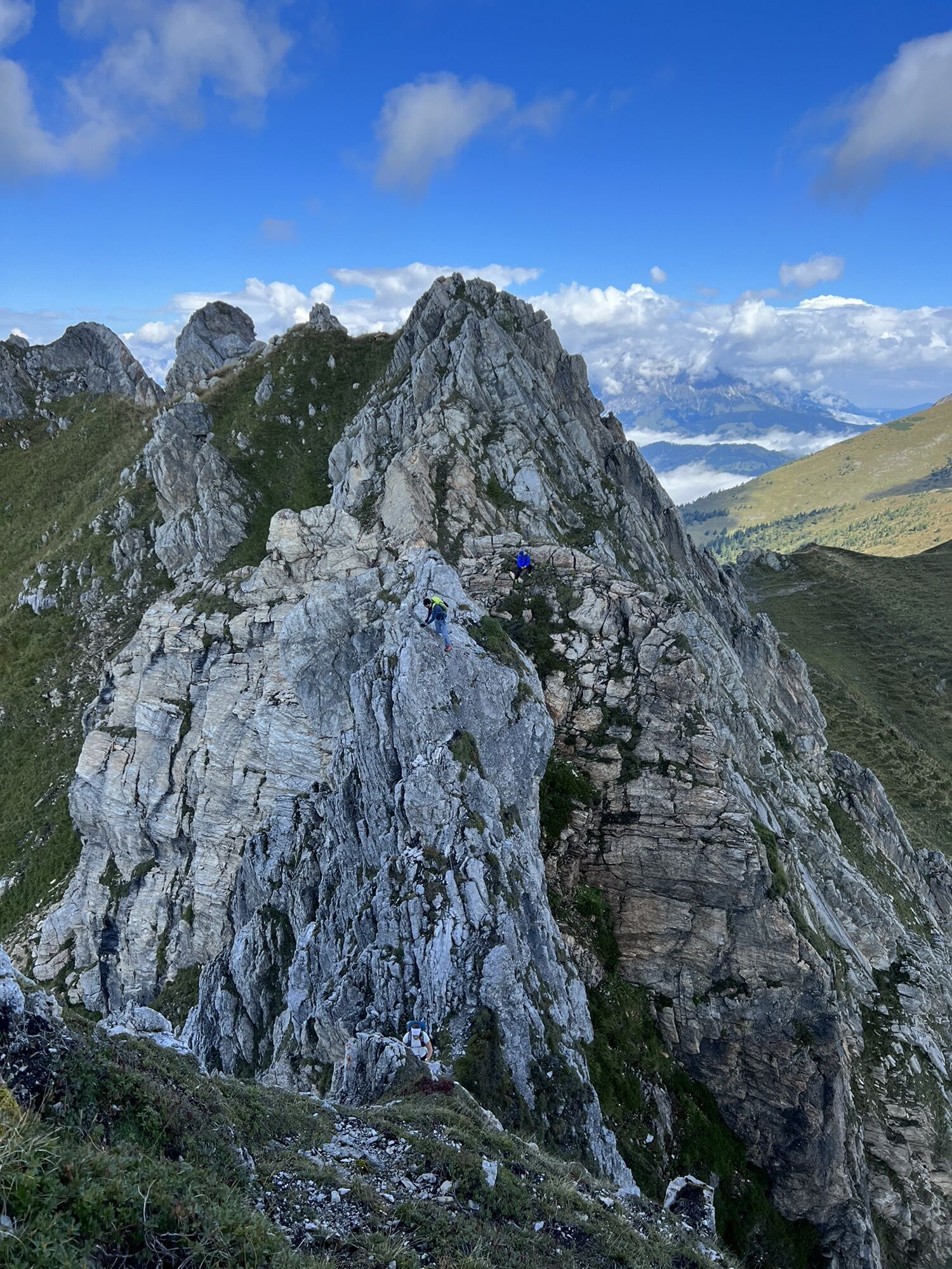
difficile
- Valutazione
-
- Percorso
-
Arltörl-Kapelle4,8 kmArlspitze (2.140 m)6,6 kmSchuhflicker (2.214 m)6,9 kmHaßeck (2.119 m)12,4 kmGasteiner Höhe (1.994 m)14,6 kmSteiner-Hochalm16,8 kmSebastianskapelle19,2 km
- La stagione migliore
-
genfebmaraprmaggiulugagosetottnovdic
- Punto più alto
- 2.214 m


GPS Downloads


Altri tour nelle regioni


