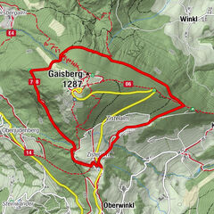
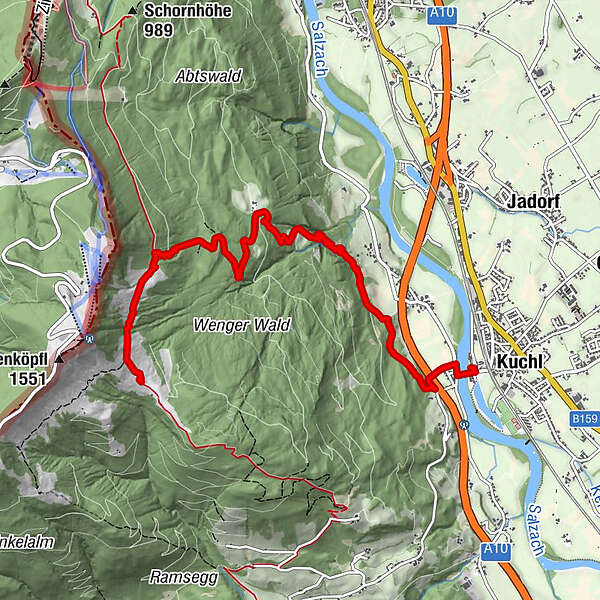
Nesslangeralm über Hochschaufler (6 Punkte)

Escursionismo


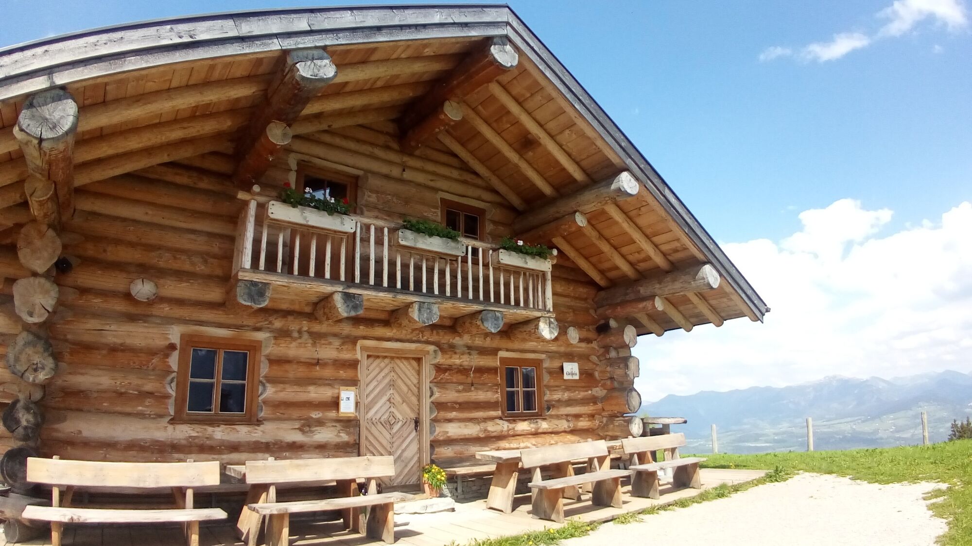
© Gästeservice Tennengau - Markus Rohrbacher

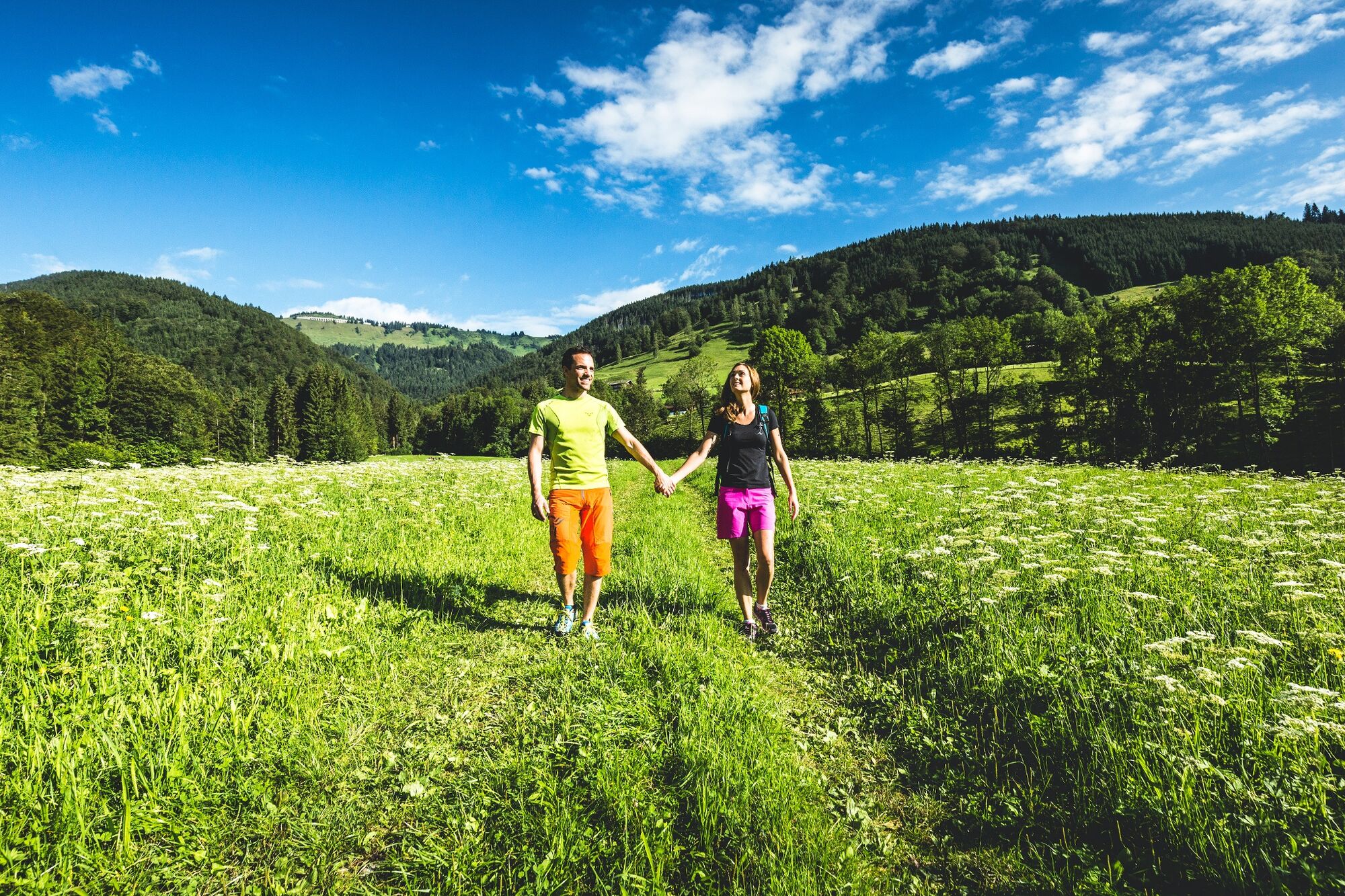
© Gästeservice Tennengau - Tourismusverband Kuchl
- Descrizione rapida
-
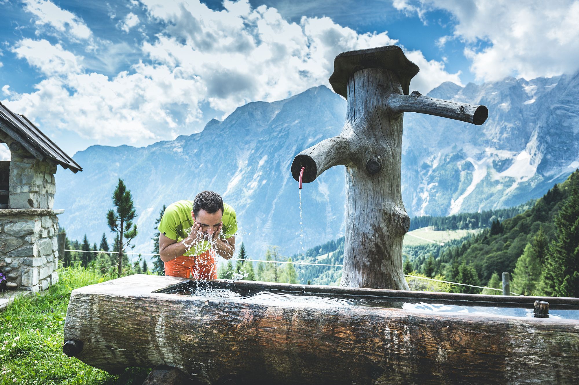
Popular destination for hikers! Accessible on foot via the marked hiking trails.
- Difficoltà
-
intermedio
- Valutazione
-
- Percorso
-
Kuchl0,1 kmNesslangeralm6,8 km
- Punto più alto
- 1.292 m
- Destinazione
-
Nesslangeralm
- Profilo altimetrico
-

-

-
AutoreIl tour Nesslangeralm über Hochschaufler (6 Punkte) è utilizzato da outdooractive.com fornito.
GPS Downloads


Altri tour nelle regioni
-
Tennengau - Dachstein West
1991
-
Kuchl
539