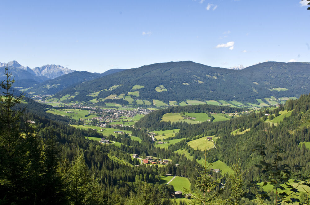
Dati percorsi
15,65km
869 - 1.523m
Distanz
642hm
634hm
L'ascesa
04:30h
 
Durata
Descrizione rapida

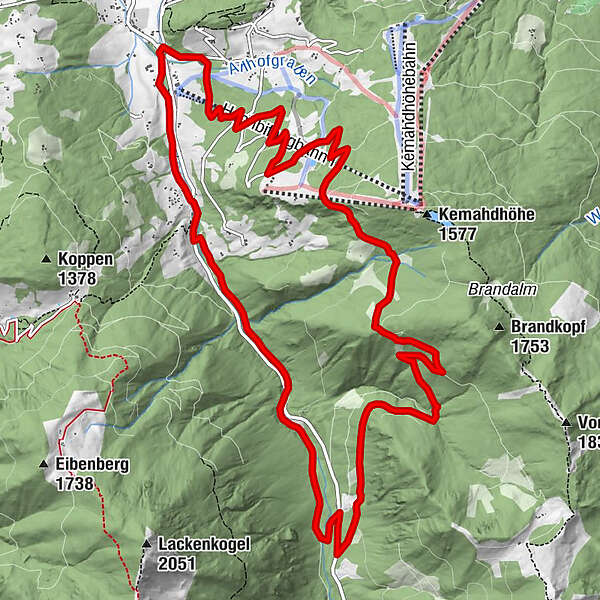
The Steinwand circular trail leads south-east in the low mountain range over a forest ridge.

Difficoltà
intermedio
Valutazione
Tecnica
Forma fisica
Panorama
Avventura / Esperienza
Percorso
Plum Restaurant
0,0 km
Gasthof Neuhäusl
14,0 km
Plum Restaurant
15,6 km

La stagione migliore
gen
feb
mar
apr
mag
giu
lug
ago
set
ott
nov
dic
Punto più alto
1.523 m
Destinazione

Start point Ameisenberg recreational area information board on Rettenbach road

Profilo altimetrico

Autore
Il tour Steinwand Circuit è utilizzato da outdooractive.com fornito.

Valutazione complessiva

5

0

%

4

0

%

3

0

%

2

0

%

1

0

%

Errore
Si è verificato un errore. Si prega di riprovare.
Grazie per la vostra recensione

La valutazione è stata cancellata

GPS Downloads
  • GPX GPS Exchange Format (XML)
  • KML Google Earth, Google Maps
Codici di download QR per telefoni cellulari

Info generali

Punto di ristoro

Tour popolari della zona

Salzburger Gipfelspiel: Zum Gerzkopf und zur Schwarzen Lacke

intermedio Escursionismo
8,39km | 494hm | 03:45h

Filzmoos: Rötelstein (Rettenstein)

Escursionismo
9,5km | 895hm | 05:00h

Steirische and Lungauer Kalkspitze summits via Kranzl

difficile Escursionismo
10,91km | 926hm | 05:10h

Mosermandl (2680m)

difficile Escursionismo
16,34km | 1442hm | 06:45h