
- Descrizione rapida
-
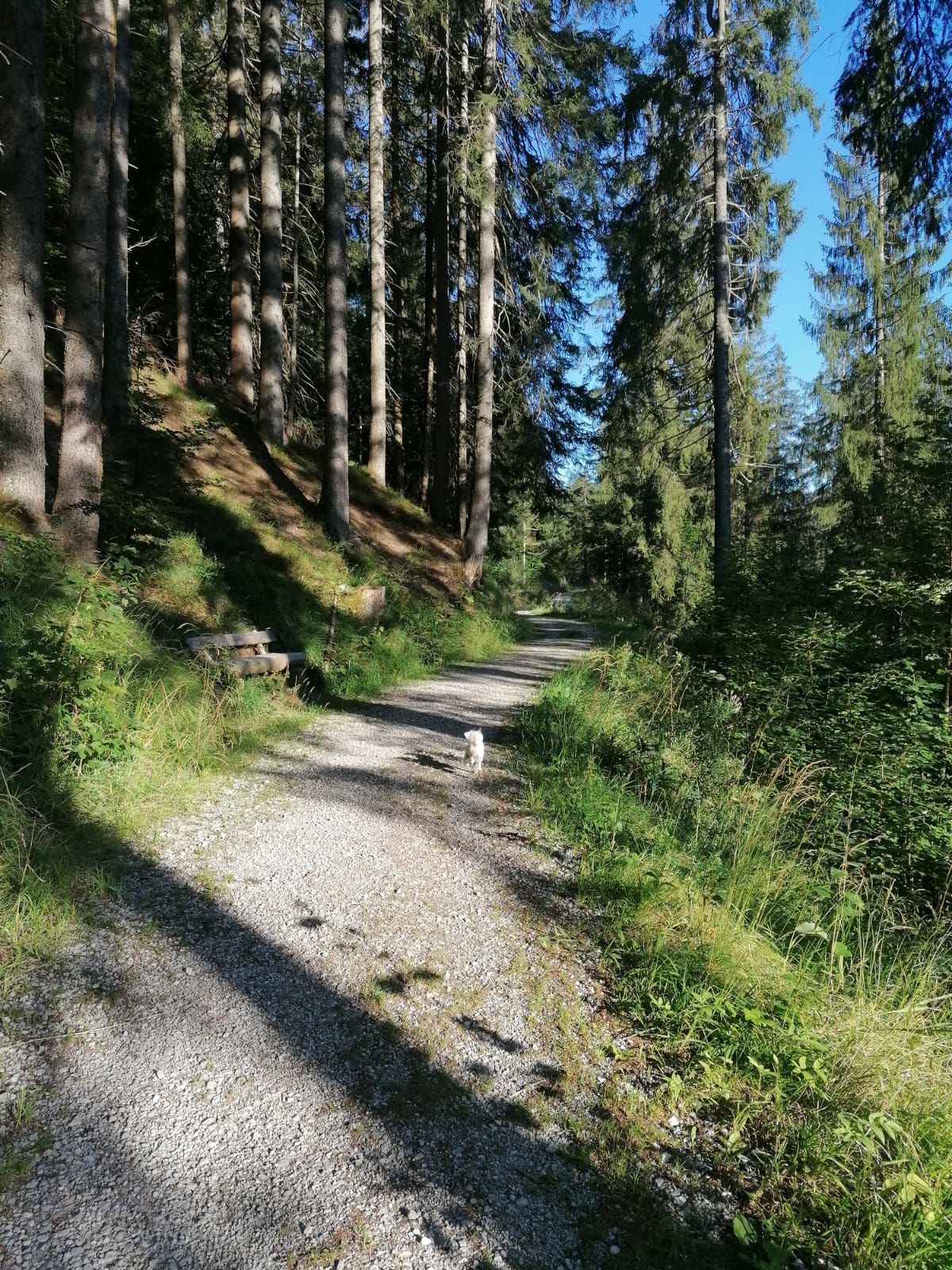
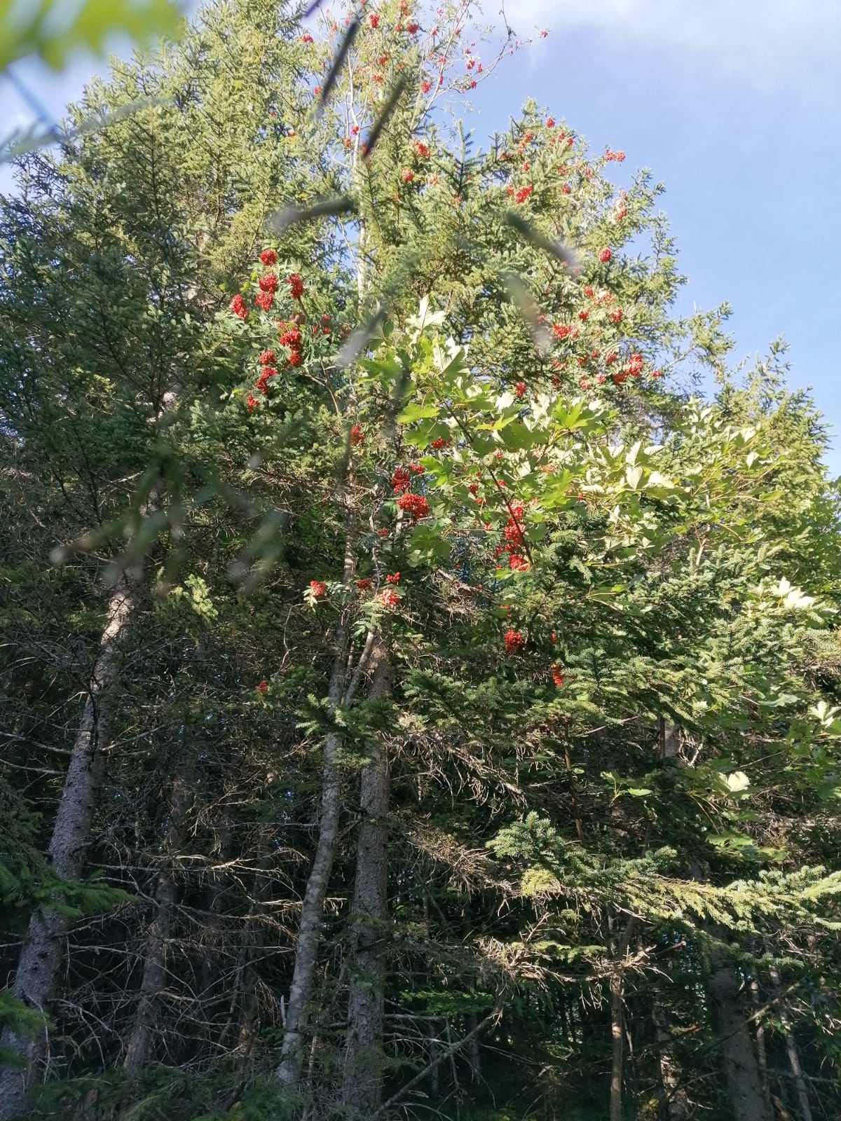
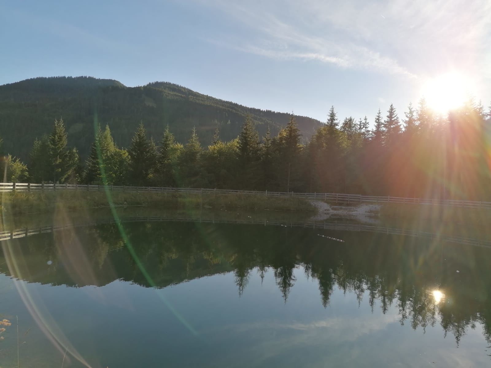
Come and enjoy the summer scenery in beautiful Mühlbach as you walk through and round our village.
- Difficoltà
-
intermedio
- Valutazione
-
- Percorso
-
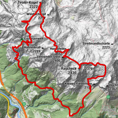
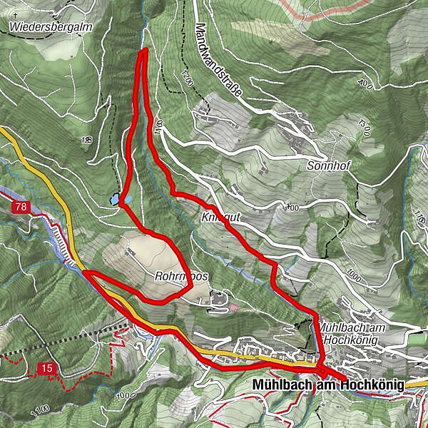
Pfarrkirche zum hl. Sebastian0,1 kmMesnerhaus, Café, Bar & Restaurant0,1 kmAnderlwirt0,1 kmHöring0,1 kmMühlbach am Hochkönig0,2 kmKnie5,4 kmMühlbach am Hochkönig6,7 kmHöring6,7 kmAnderlwirt6,8 kmMesnerhaus, Café, Bar & Restaurant6,8 kmPfarrkirche zum hl. Sebastian6,8 km
- La stagione migliore
-
genfebmaraprmaggiulugagosetottnovdic
- Punto più alto
- 1.098 m
- Destinazione
-
Tourist Office Mühlbach
- Profilo altimetrico
-

- Autore
-
Il tour Local Walking Route "Vierawasch" è utilizzato da outdooractive.com fornito.
GPS Downloads


Info generali
Culturale/Storico
Promettente
Altri tour nelle regioni