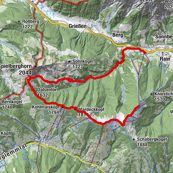
Saalachtaler Höhenweg WEST (Asitz - Spielbergalmen)

Escursionismo

© (c) Lolin - Saalfelden Leogang

© (c) Lolin - Saalfelden Leogang

© (c) Sportalpen - Saalfelden Leogang

- Descrizione rapida
-
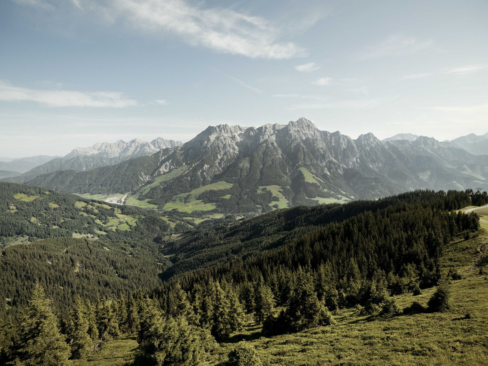
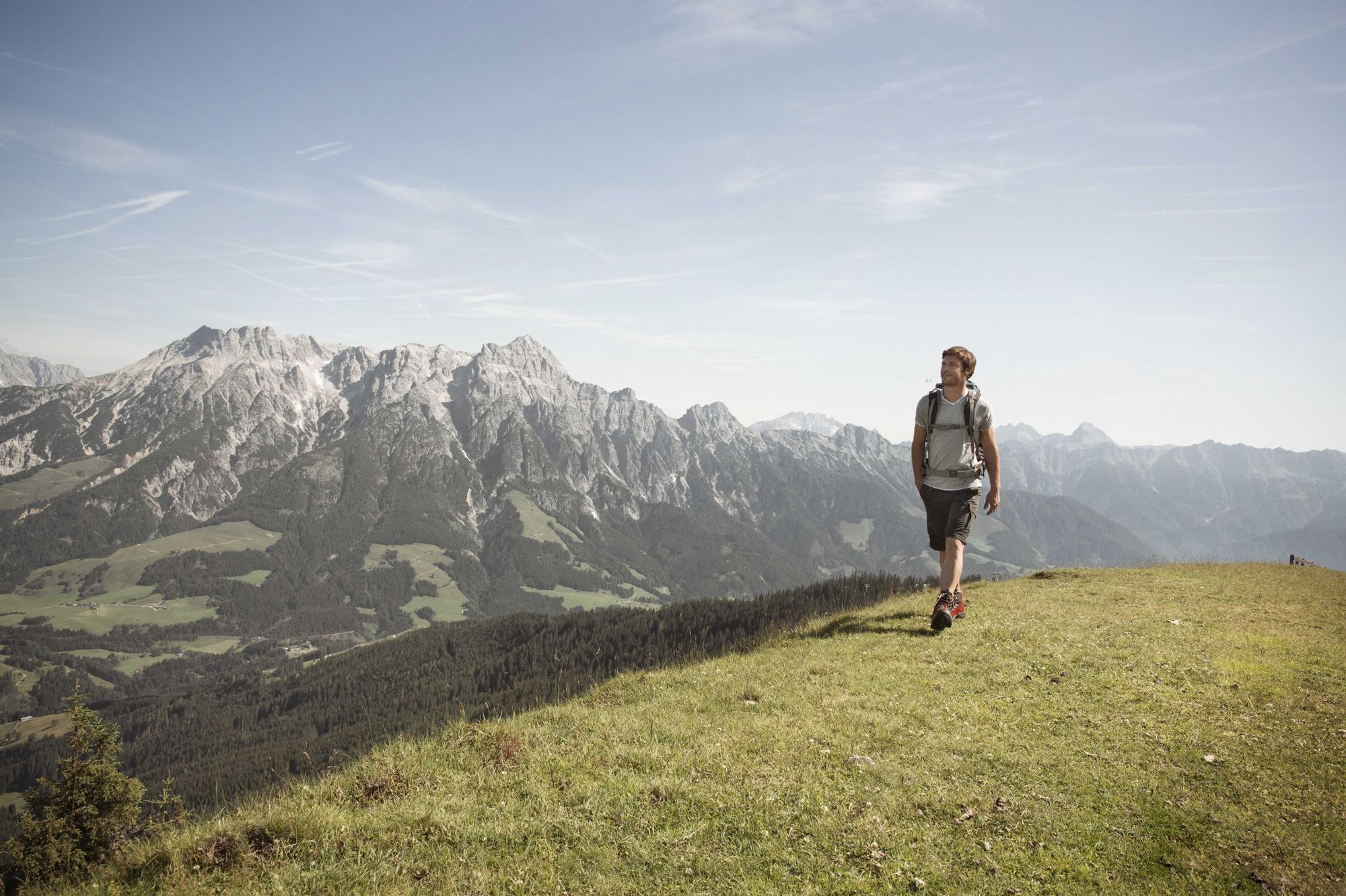
One of the most beautiful mountain paths in the region with a magnificent view of Salzburgs' mountains!
- Difficoltà
-
intermedio
- Valutazione
-
- Percorso
-
Alte Schmiede0,0 kmKleiner Asitz (1.870 m)0,8 kmGroßer Asitz (1.914 m)1,3 kmAsitzkogelbahn1,3 kmMarienkapelle Schönleiten2,0 kmSchönleitenhütte2,2 kmWildenkarkogel (1.910 m)3,0 kmWildenkarhütte3,1 kmPründelkopf (1.877 m)4,1 kmMaisereck (1.675 m)7,4 kmDalsentörl (1.632 m)8,4 kmLindlalm10,8 kmAdamalm12,0 kmVogleralm14,5 kmKnappenstube14,8 kmPucherhäuslquelle15,9 kmGasthof Hüttwirt18,4 kmHütten18,4 kmMiners' Chapel of St. Anne18,5 kmAsitzbahn I19,2 km
- La stagione migliore
-
genfebmaraprmaggiulugagosetottnovdic
- Punto più alto
- 1.903 m
- Destinazione
-
Knappenstube "Unterberghaus"
- Profilo altimetrico
-

-

-
AutoreIl tour Saalachtaler Höhenweg WEST (Asitz - Spielbergalmen) è utilizzato da outdooractive.com fornito.
GPS Downloads


Info generali
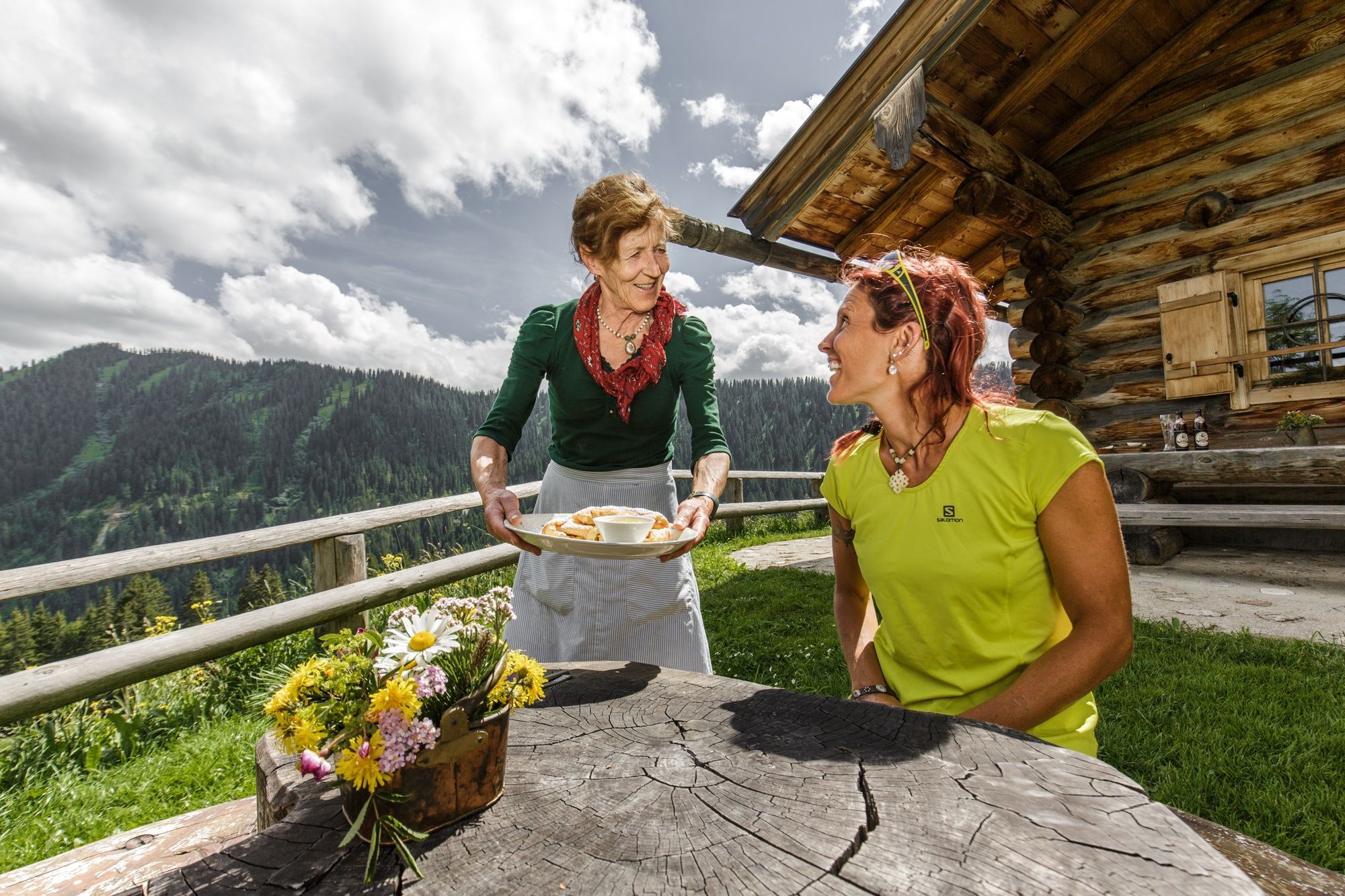
Punto di ristoro
Suggerimento
Promettente
Altri tour nelle regioni
-
Saalbach Hinterglemm
1594
-
Hochfilzen
410


