© Tourismusverband Wald-Königsleiten - Ferienregion Nationalpark Hohe Tauern - Tourismusverband Wald/Königsleiten
© Tourismusverband Wald-Königsleiten - Ferienregion Nationalpark Hohe Tauern - Tourismusbüro Wald/Königsleiten 5742 Wald 126 info@wald-koenigsleiten.at www.wald-koenigsleiten.at
© Tourismusverband Wald-Königsleiten - Ferienregion Nationalpark Hohe Tauern - Tourismusbüro Wald/Königsleiten 5742 Wald 126 info@wald-koenigsleiten.at www.wald-koenigsleiten.at
Dati percorsi
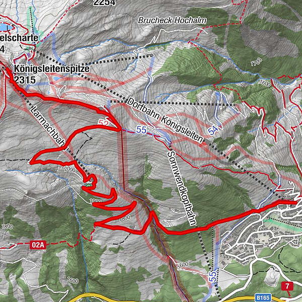
6,45km
1.609
- 2.301m
686hm
7hm
03:00h
- Descrizione rapida
-
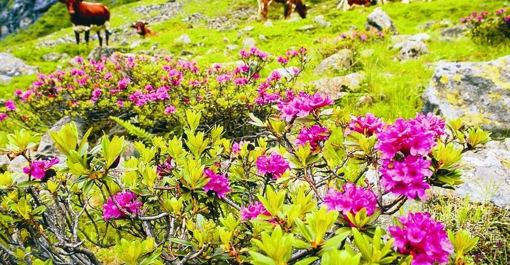
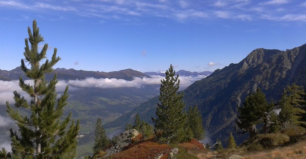
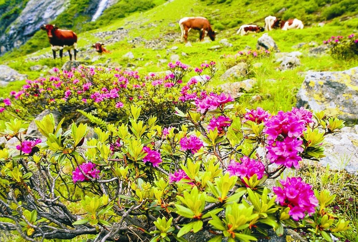
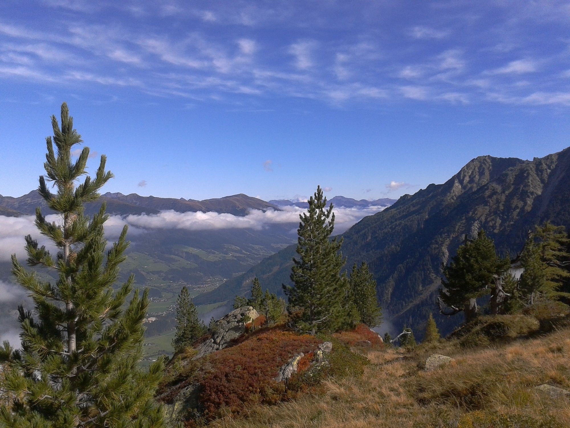
Eine Wanderung in den Kitzbühler Alpen mit Einkehrmöglichkeit - am Gipfel hat man einen wunderbaren 2-Täler-Blick.
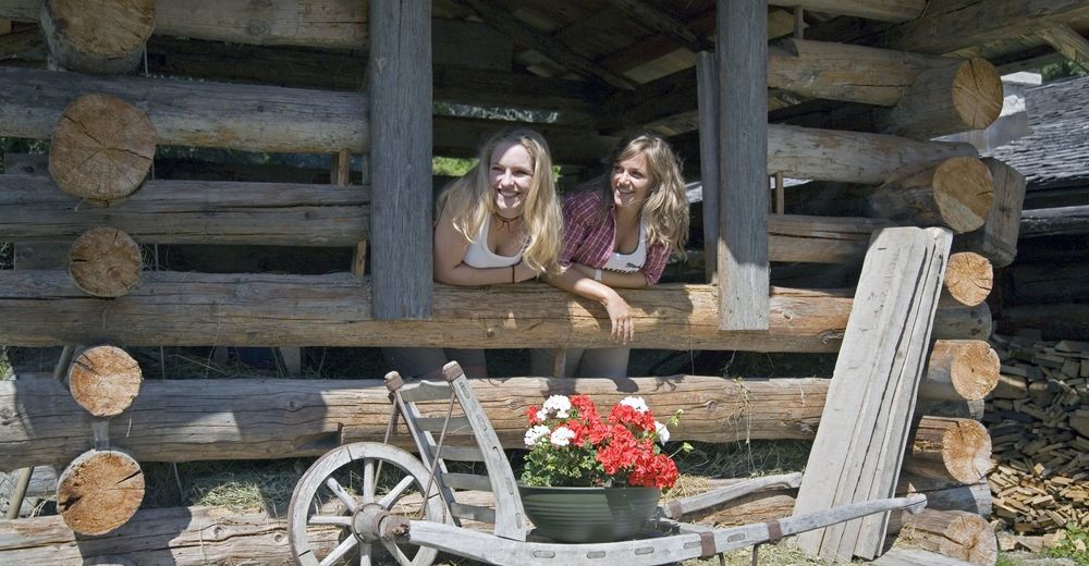
Der Jodelwanderweg mit einigen Jodelstation liegt teilweise auf der Strecke. An den verschiedenen Erlebnis-Stationen entlang des Jodel-Wanderweges erwarten Sie einfach, traditionelle Jodler zum Nachjodel - wir wünschen viel Spaß!
- Difficoltà
-
intermedio
- Valutazione
-
- Percorso
-
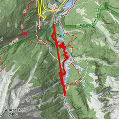
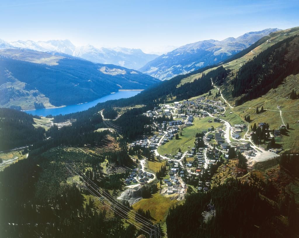
Königsleiten (1.602 m)0,2 kmLarmach-Alm3,4 kmLarmach3,6 kmBergrestaurant Panoramaalm5,4 kmLarmach6,3 kmGipfelbahn6,4 kmKönigsleitenspitze (2.315 m)6,4 km
- La stagione migliore
-
genfebmaraprmaggiulugagosetottnovdic
- Punto più alto
- 2.301 m
- Destinazione
-
Königsleitenspitze
- Profilo altimetrico
-

-
-
AutoreIl tour Königsleitenspitze (über Larmachalm) è utilizzato da outdooractive.com fornito.
GPS Downloads


Info generali
Punto di ristoro
Promettente
Altri tour nelle regioni
-
Zillertal Arena
1322
-
Krimml - Hochkrimml
325