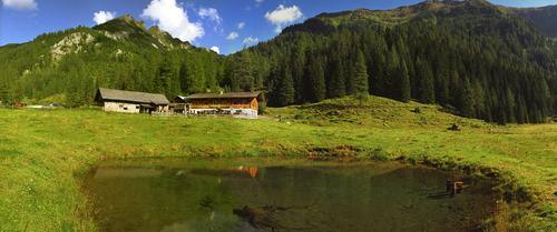
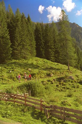
Forstau - Klamml - Oberhütte

Logo Forstau - Klamml - Oberhütte
Dati percorsi
9,99km
1.381 - 2.077m
Distanz
663hm
655hm
L'ascesa
04:30h
 
Durata
Valutazione
Tecnica
Forma fisica
Panorama
Avventura / Esperienza
Percorso
Vögeialmkapelle
Vögeialm
0,1 km
Seekarscharte (2.026 m)
3,5 km
Oberhütte am See
7,0 km
Oberhütte
7,2 km
Vögeialm
9,9 km

Punto più alto
2.077 m
Profilo altimetrico

Autore
Il tour Forstau - Klamml - Oberhütte è utilizzato da outdooractive.com fornito.

Valutazione complessiva

5

0

%

4

0

%

3

0

%

2

0

%

1

0

%

Errore
Si è verificato un errore. Si prega di riprovare.
Grazie per la vostra recensione

La valutazione è stata cancellata

GPS Downloads
  • GPX GPS Exchange Format (XML)
  • KML Google Earth, Google Maps
Codici di download QR per telefoni cellulari
Altri tour nelle regioni

Tour popolari della zona

Faulkogel

difficile Escursionismo
15,9km | 1490hm | 06:24h

Tauernkarsee

facile Escursionismo
4,26km | 380hm | 02:00h

Riesach Wasserfälle

Escursionismo
4,73km | 292hm | 03:00h

Salzburger Gipfelspiel: Zum Gerzkopf und zur Schwarzen Lacke

intermedio Escursionismo
8,39km | 494hm | 03:45h