

© Pongau

© Pongau
© Pongau

© Pongau
Dati percorsi
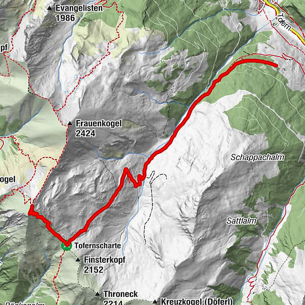
14,2km
1.248
- 2.443m
1.164hm
1.157hm
08:00h
- Valutazione
-
- Percorso
-
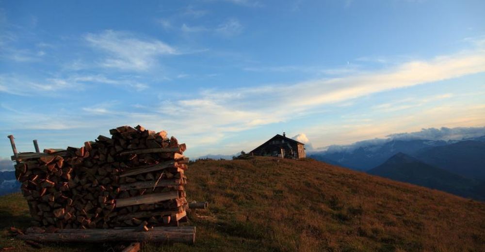
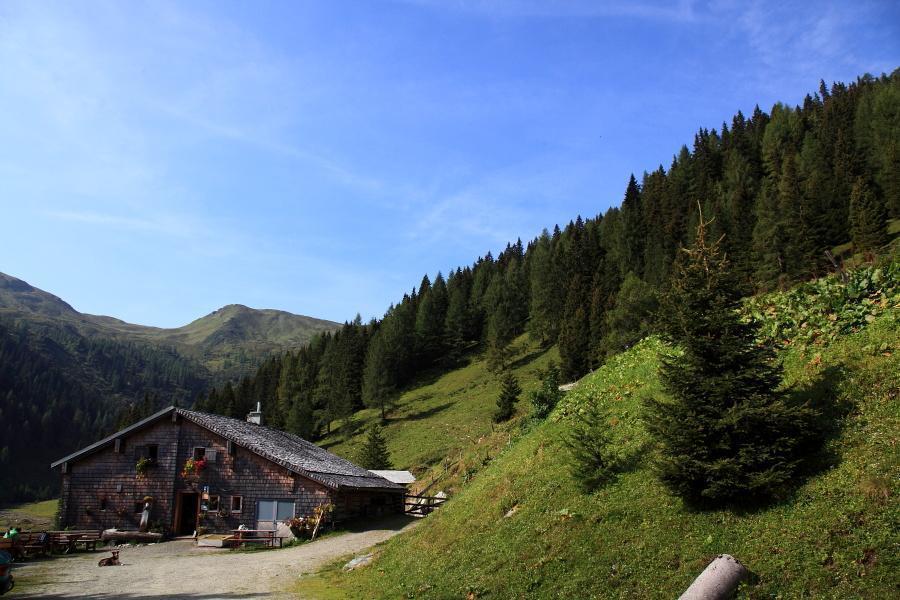
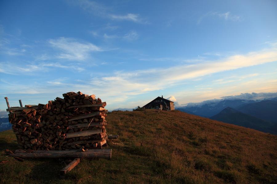
Oberharbachalm3,6 kmGamskarkogelhütte (2.465 m)7,0 kmGamskarkogel (2.467 m)7,0 kmOberharbachalm10,5 km
- Punto più alto
- 2.443 m
- Profilo altimetrico
-


- Autore
-
PongauIl tour Gamskarkogel è utilizzato da outdooractive.com fornito.
GPS Downloads


Altri tour nelle regioni


