


- Descrizione rapida
-
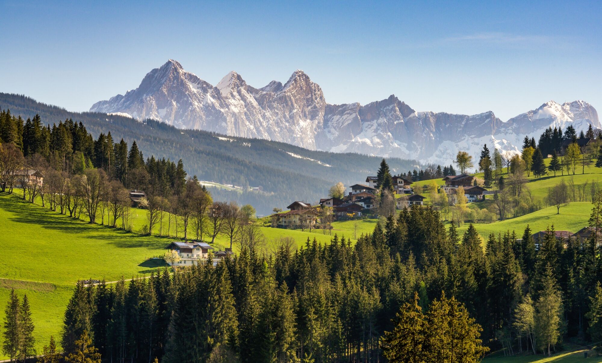
The Ameisenberg Circuit cruises over the south-eastern forest ridge in the foothills of the Alps.
- Difficoltà
-
intermedio
- Valutazione
-
- Percorso
-
Plum Restaurant0,0 kmJausenstation Ascherbauer4,1 kmPlum Restaurant6,8 km
- La stagione migliore
-
genfebmaraprmaggiulugagosetottnovdic
- Punto più alto
- 1.246 m
- Destinazione
-
Start point Ameisenberg at Rettenbachweg
- Profilo altimetrico
-

-

-
AutoreIl tour Ameisenberg Circuit è utilizzato da outdooractive.com fornito.
GPS Downloads


Info generali
Punto di ristoro
Promettente
Altri tour nelle regioni
-
Schladming - Dachstein
3003
-
Salzburger Sportwelt
2191
-
Altenmarkt-Zauchensee
587


