- Descrizione rapida
-
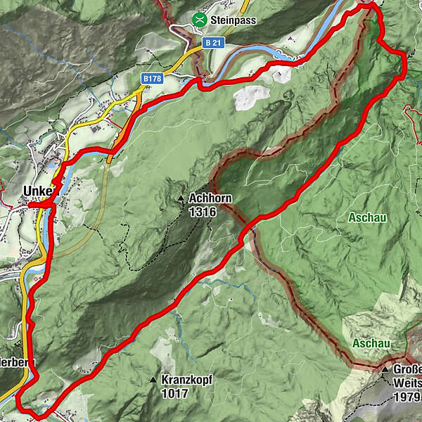
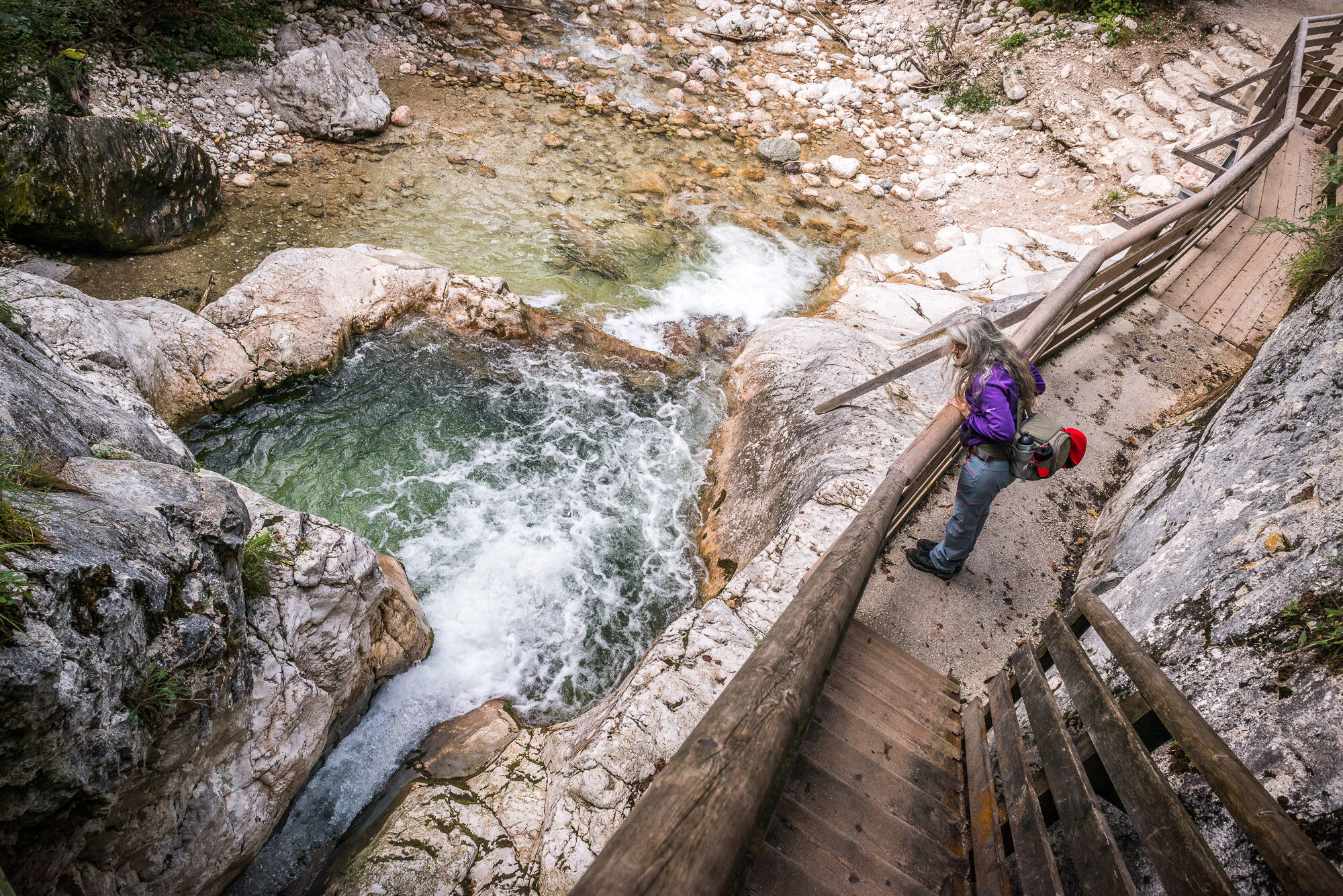
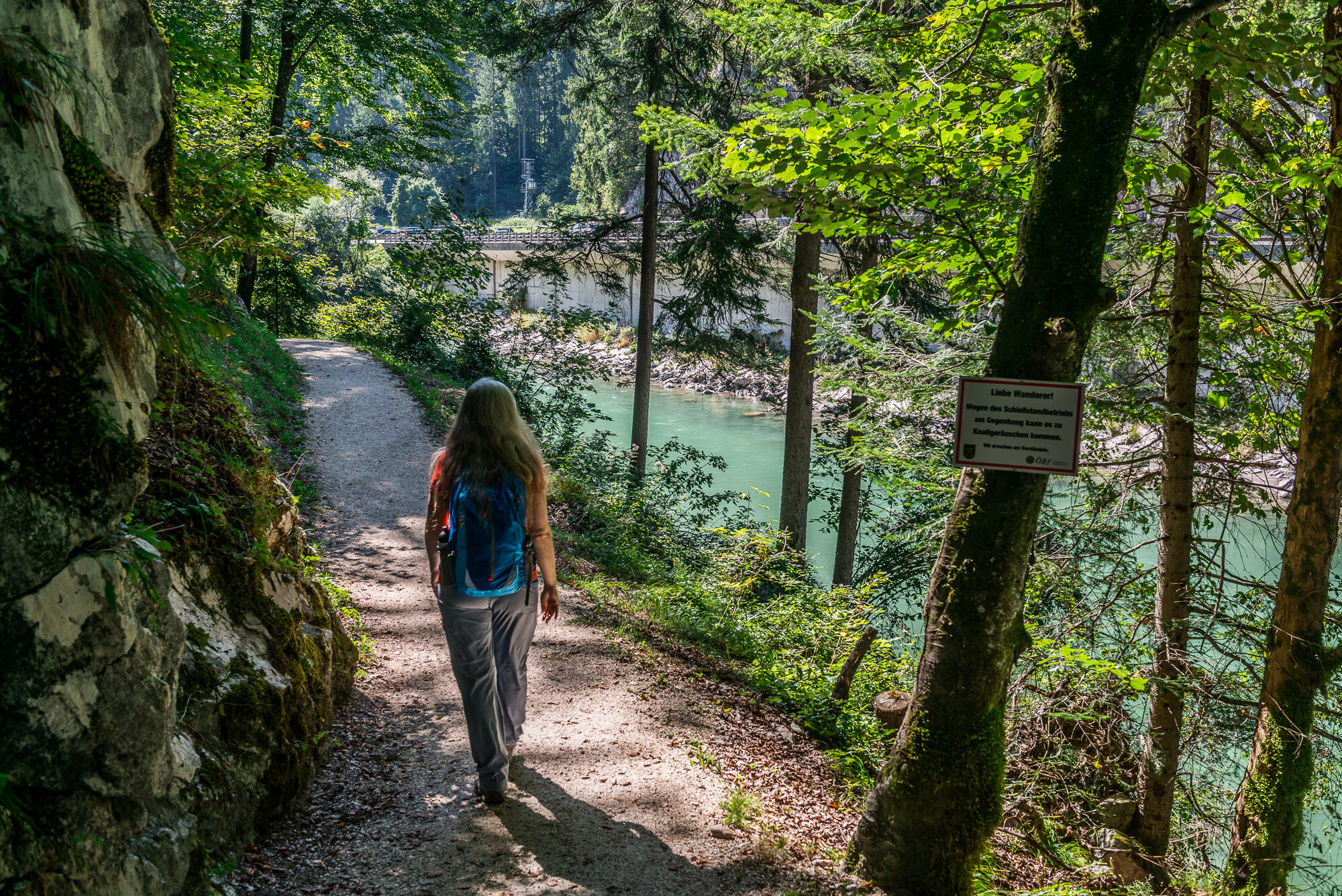
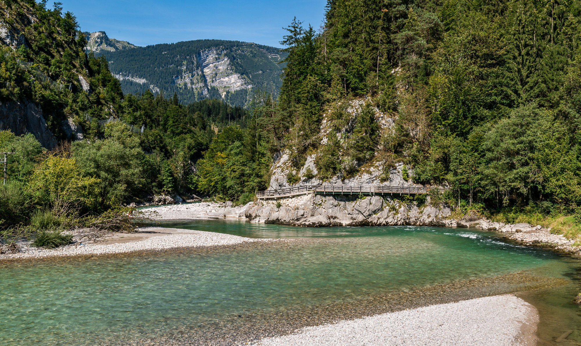
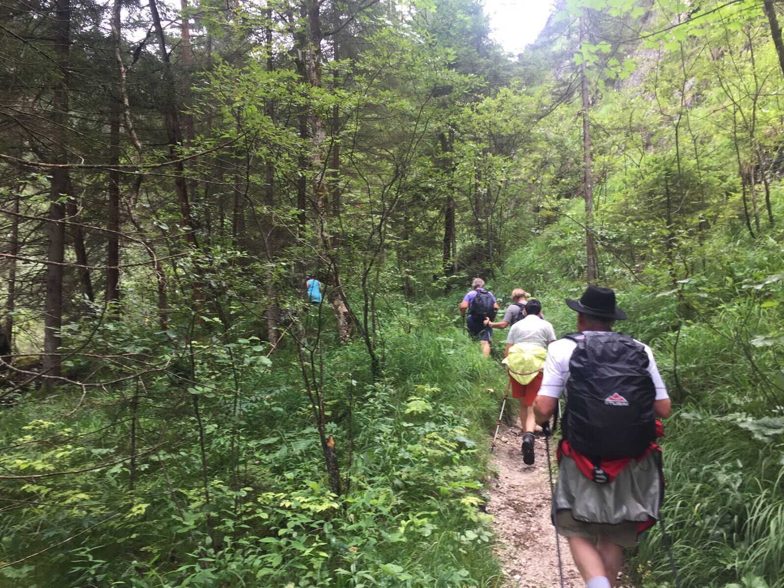
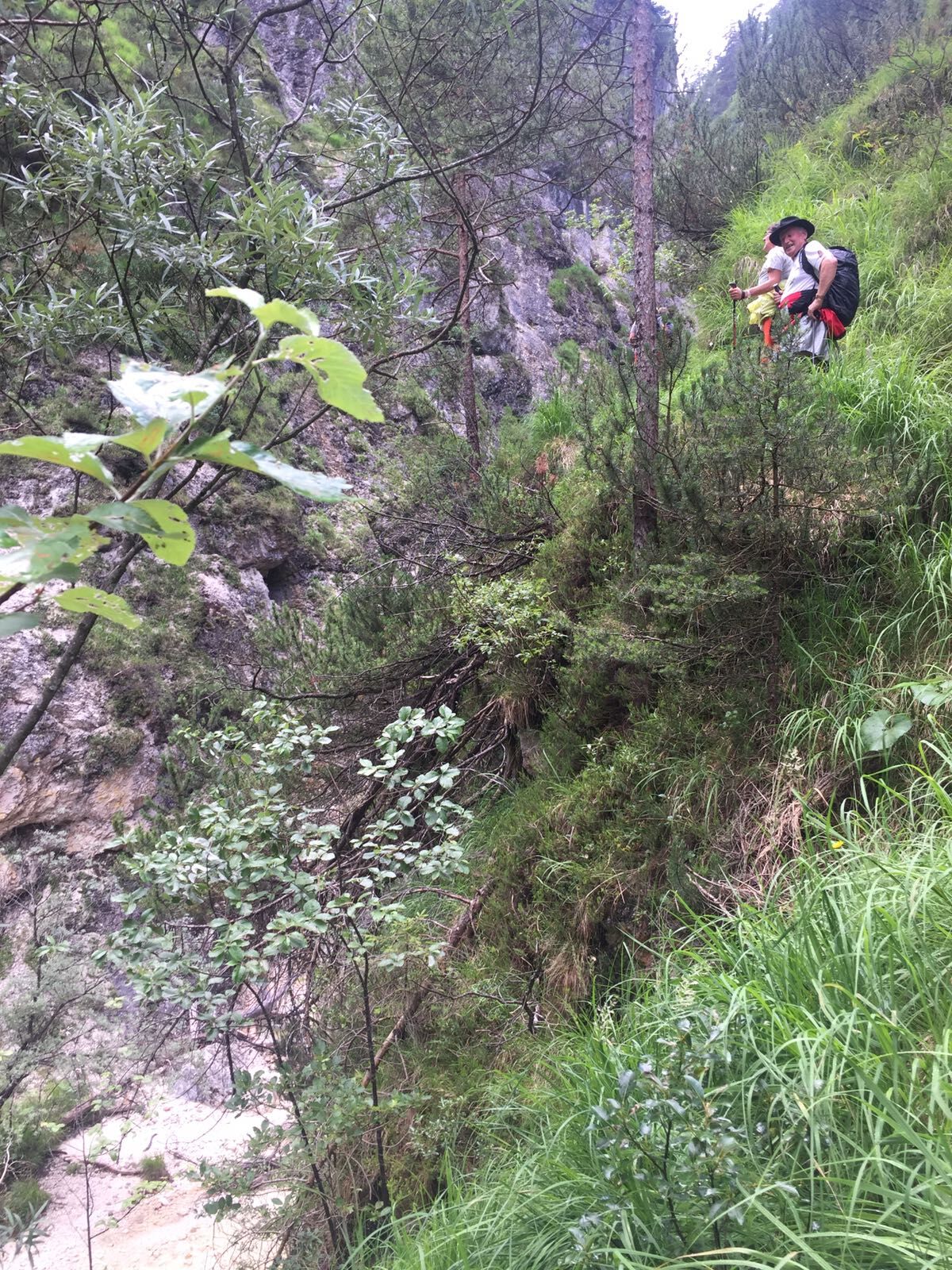
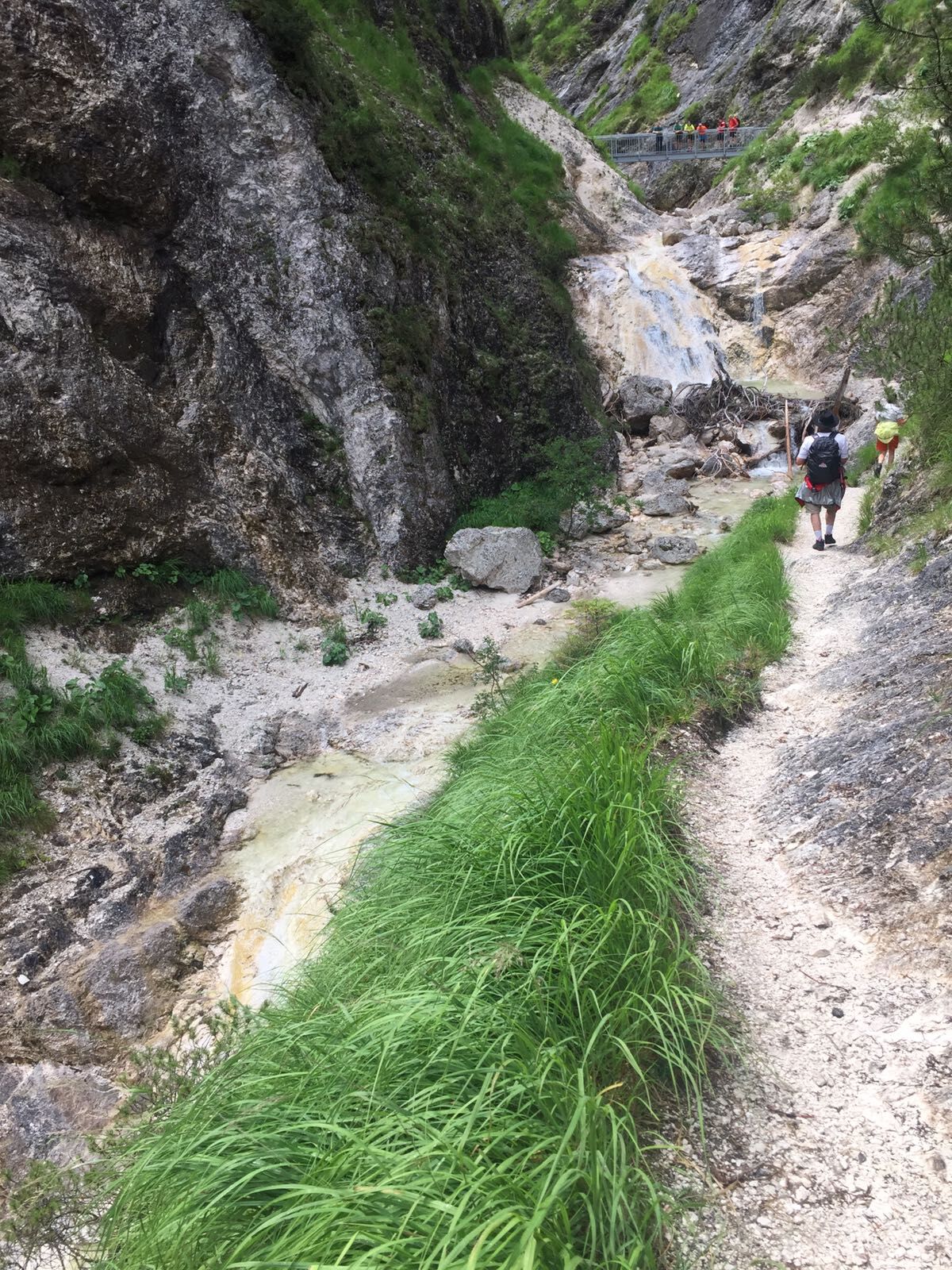
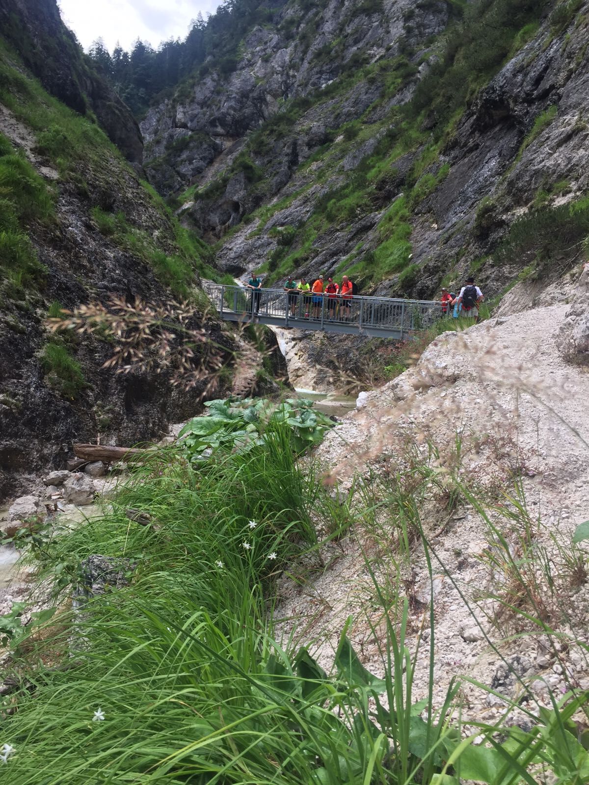
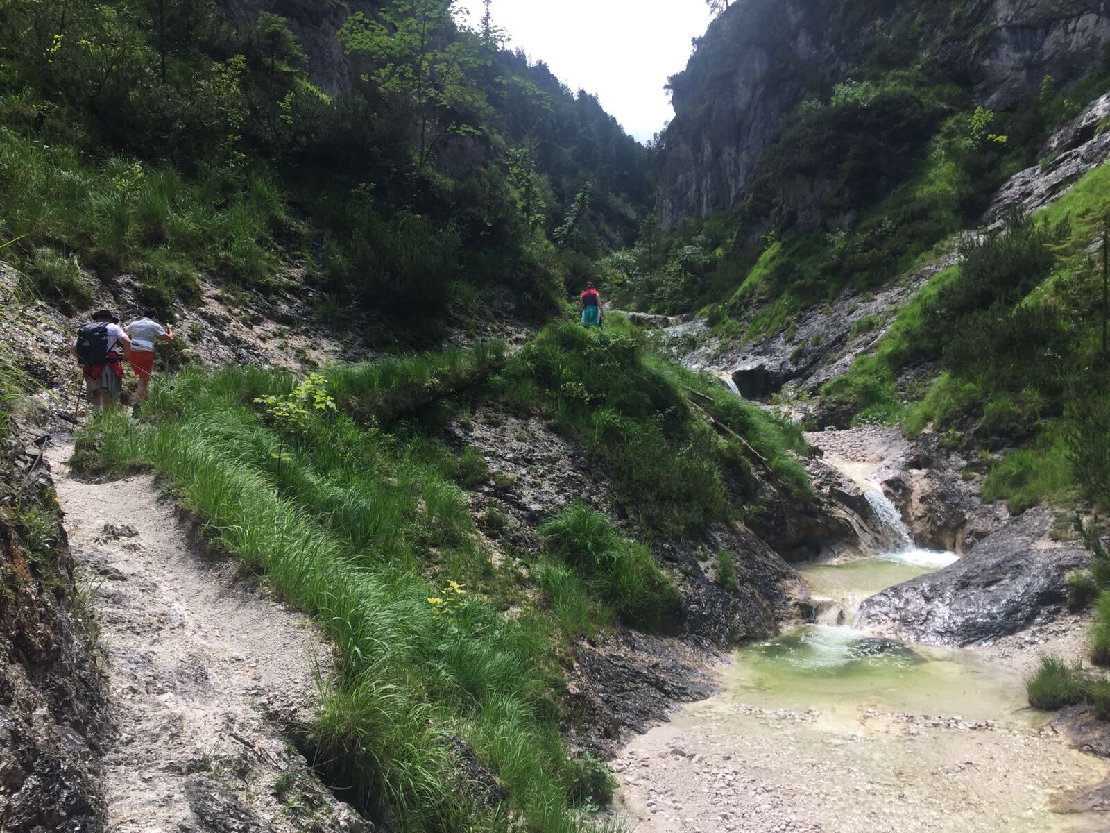
Beautiful day-long circular hike from Unken via the Gsengsteig, through the Aschauerklamm gorge, the Innersbachklamm gorge and back to Unken via the Gaissteig trail.
- Difficoltà
-
intermedio
- Valutazione
-
- Percorso
-
Unken0,1 kmKeßler3,8 kmSchwaiger5,5 kmHaiderhof5,8 kmAschau-Blick10,4 kmAschau10,5 kmMitterhorn-Blick11,3 kmHochreith12,9 kmInnersbachklamm-Blick14,1 kmKniepass (554 m)14,7 kmSchütterbad15,8 kmLöwenquelle16,1 kmUnken17,1 kmKeßler21,1 kmSchwaiger22,7 kmHaiderhof23,0 km
- La stagione migliore
-
genfebmaraprmaggiulugagosetottnovdic
- Punto più alto
- 860 m
- Destinazione
-
Unken - Town Hall
- Profilo altimetrico
-

-

-
AutoreIl tour Tour around the Achberg è utilizzato da outdooractive.com fornito.
GPS Downloads


Info generali
Punto di ristoro
Suggerimento
Promettente
Altri tour nelle regioni
-
Salzburger Saalachtal
1864
-
Unken - Heutal
466