

© Zell am See-Kaprun Tourismus GmbH - Dominik Wartbichler

© Zell am See-Kaprun Tourismus GmbH - Dominik Wartbichler

© Zell am See-Kaprun Tourismus GmbH - Dominik Wartbichler

© Zell am See-Kaprun Tourismus GmbH - Dominik Wartbichler

© Zell am See-Kaprun Tourismus GmbH - Dominik Wartbichler

© Zell am See-Kaprun Tourismus GmbH - Dominik Wartbichler

- Descrizione rapida
-
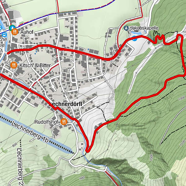
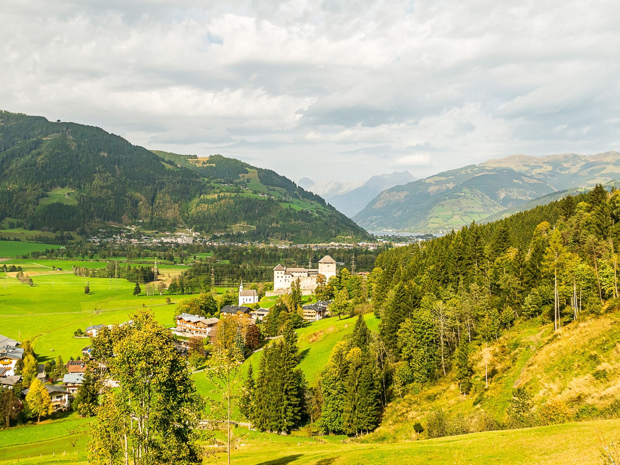
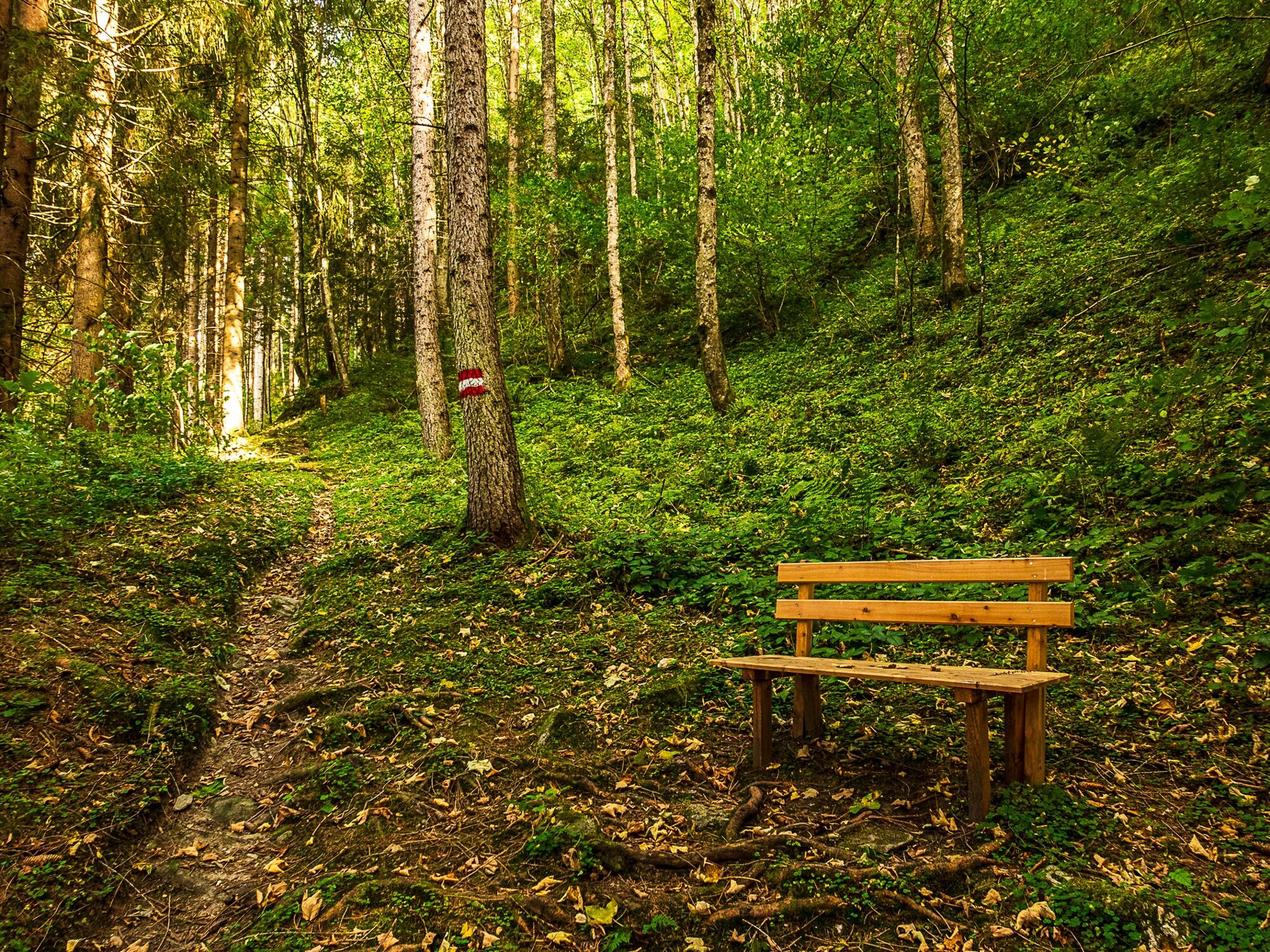
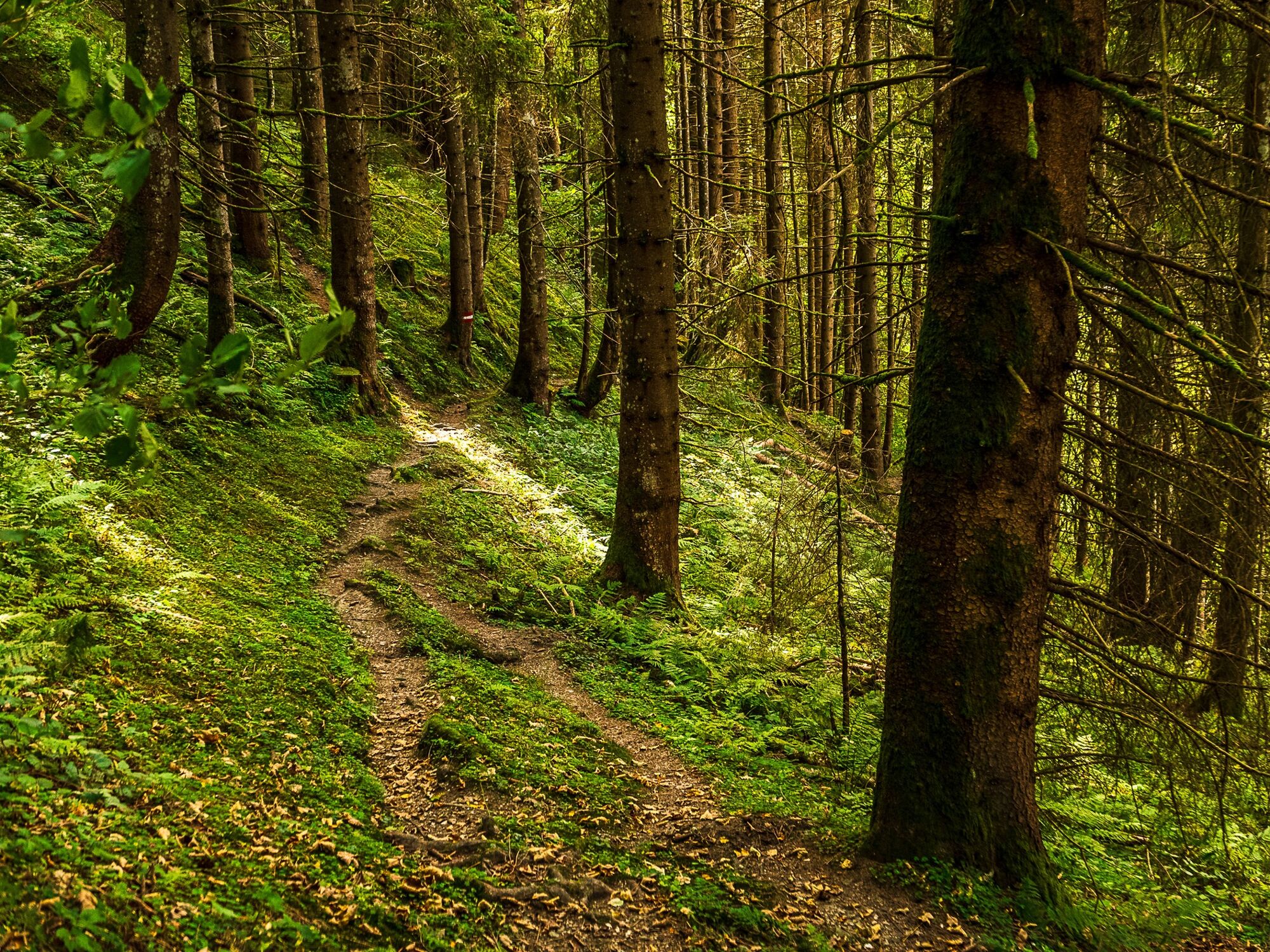
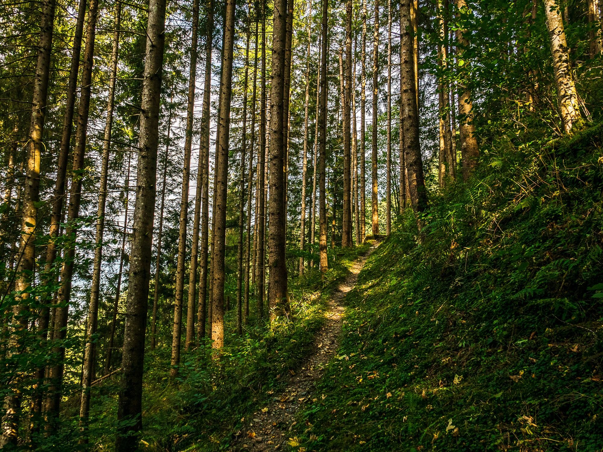
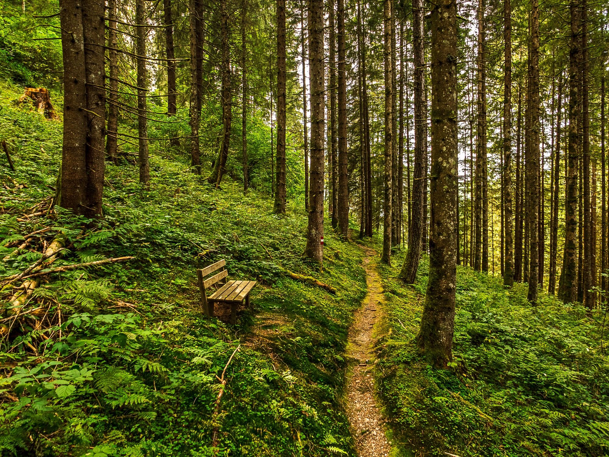
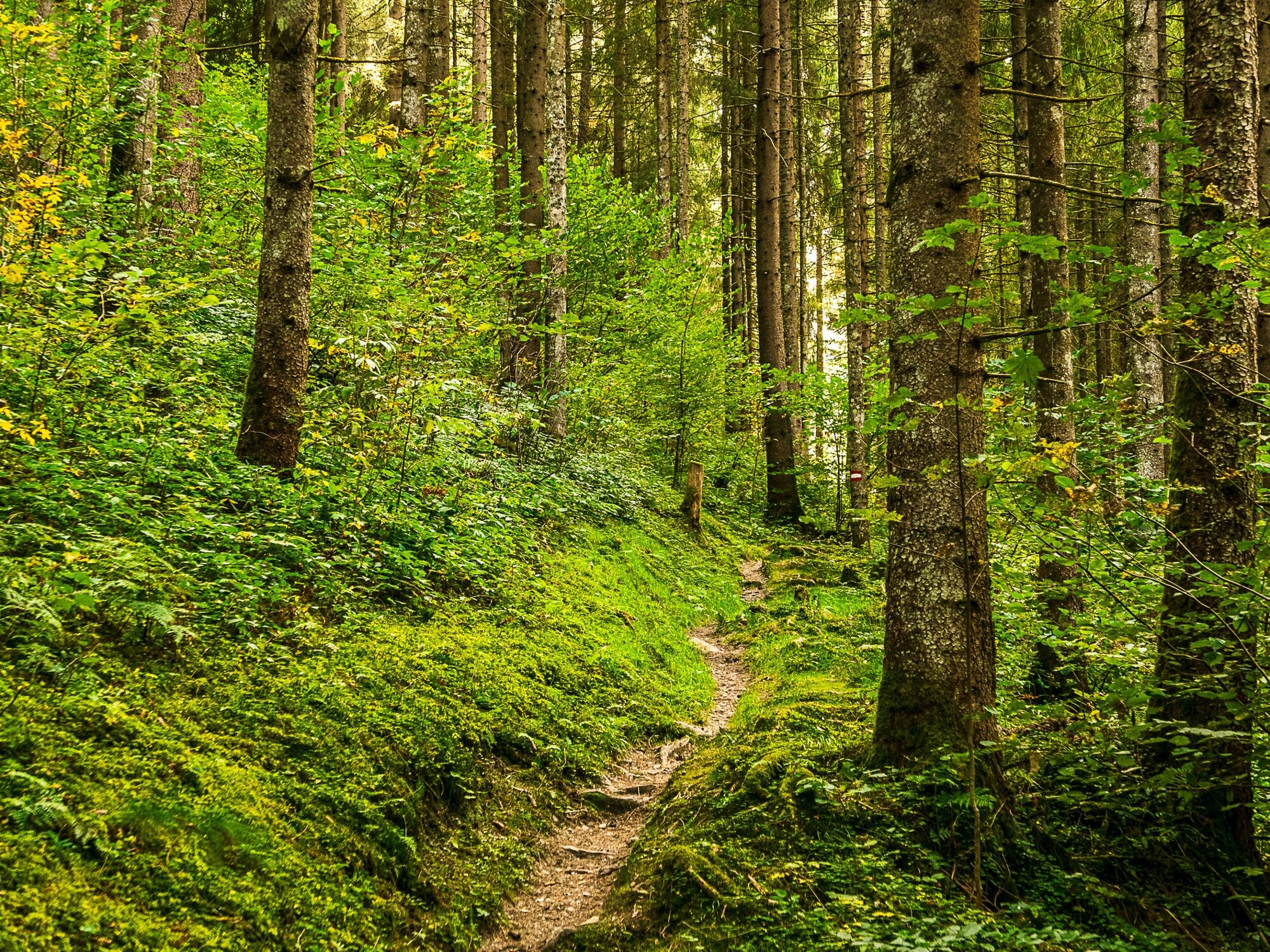
Höhenweg through the forest with beautiful views of the village of Kaprun.
- Difficoltà
-
facile
- Valutazione
-
- Percorso
-
KaprunLechnerdörfl0,5 km
- La stagione migliore
-
genfebmaraprmaggiulugagosetottnovdic
- Punto più alto
- 942 m
- Destinazione
-
Kaprun centre
- Profilo altimetrico
-

-

-
AutoreIl tour Guggenhöhenweg è utilizzato da outdooractive.com fornito.
GPS Downloads


Info generali
Promettente
Altri tour nelle regioni


