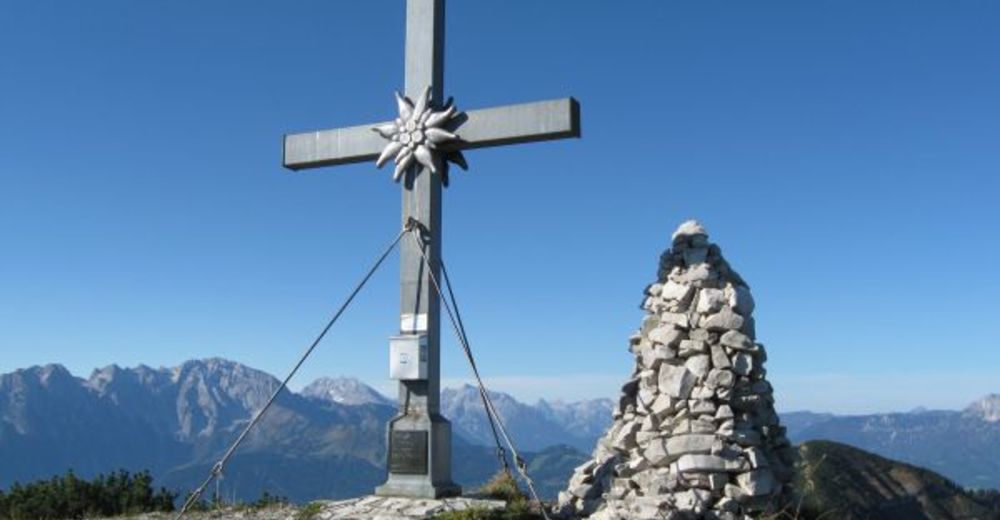
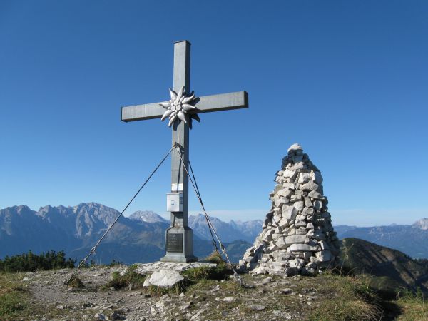
Schmittenstein (No.:79) Krispl-Gaissau, (stamp site, 10 points)

Escursionismo


- Descrizione rapida
-
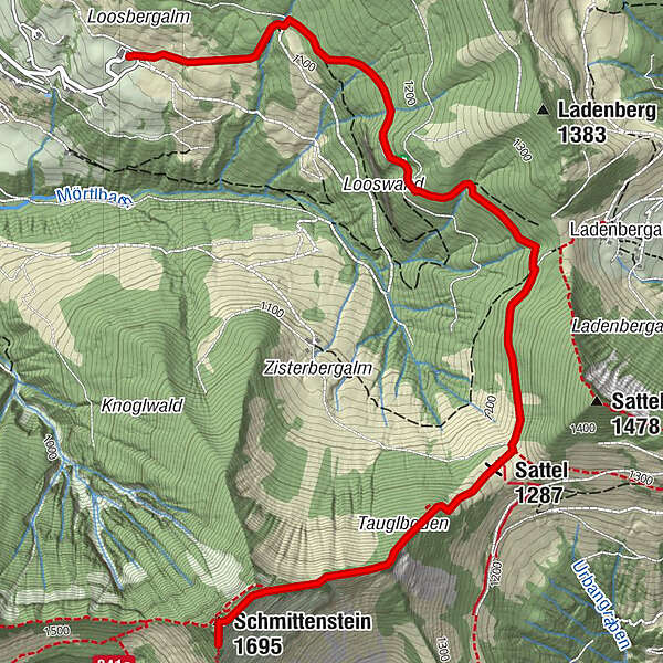
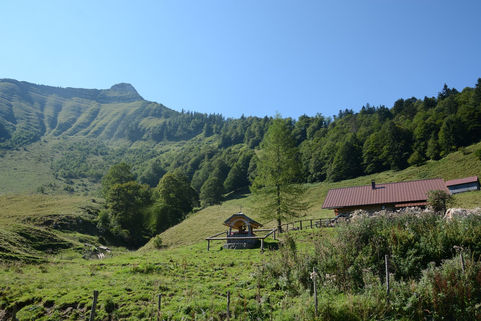
Lasserbauer ascent to the crossing forest road-along forest road to junction Bergalmen- Sattelhöhe-Schmittenstein (ÖAV trail 840)
- Difficoltà
-
difficile
- Valutazione
-
- Percorso
-
Sattel (1.287 m)3,0 kmSchmittenstein (1.695 m)4,6 km
- La stagione migliore
-
genfebmaraprmaggiulugagosetottnovdic
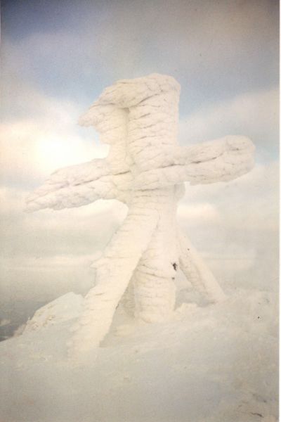
- Punto più alto
- 1.687 m
- Destinazione
-
Schmittenstein Gipfel
- Profilo altimetrico
-

- Autore
-
Il tour Schmittenstein (No.:79) Krispl-Gaissau, (stamp site, 10 points) è utilizzato da outdooractive.com fornito.
GPS Downloads


Info generali
Promettente
Altri tour nelle regioni
-
Salzkammergut Oberösterreich
3081
-
Tennengau - Dachstein West
1991
-
Hintersee
668


