Erzweg Kupfer - 5. Etappe (UNESCO-Geopark Erz der Alpen)

Sentiero tematico
Dati percorsi
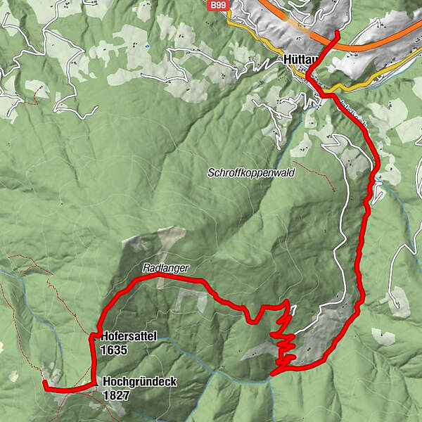
12,55km
697
- 1.803m
102hm
1.098hm
03:08h
- Descrizione rapida
-
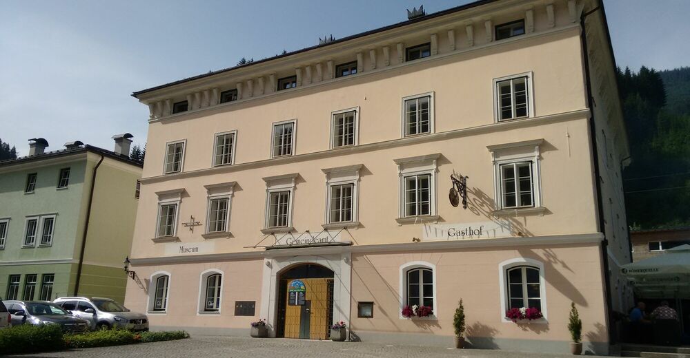
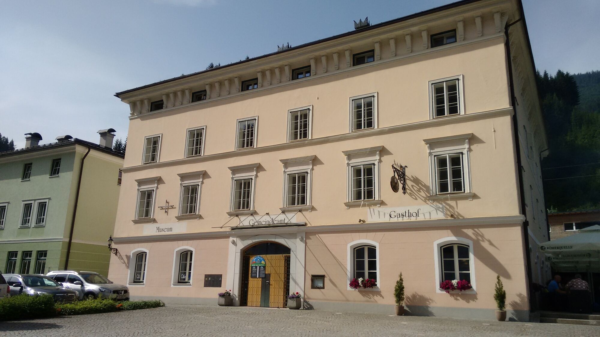
Die letzte, fünfte Etappe führt uns hinab vom Hochgründegg nach Hüttau und zum dortigen Museum und Schaubergwerk.
- Difficoltà
-
intermedio
- Valutazione
-
- Punto di partenza
-
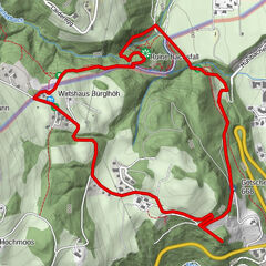
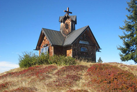
Hochgründegg
- Percorso
-
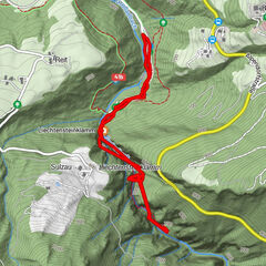
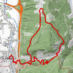
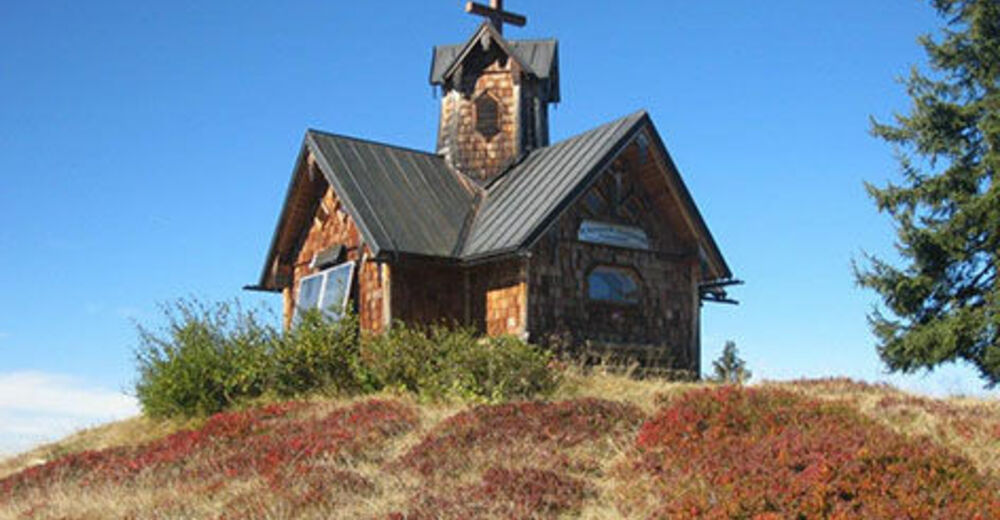
Heinrich-Kiener-Haus0,0 kmSt. Vinzenz Friedenskirche0,1 kmHochgründeck (1.827 m)0,6 kmIglsbach4,6 kmGasthaus Klammalm4,8 kmKlammalm4,8 kmPostwirt "Darijo"11,7 kmFritztalstube11,7 kmHüttau11,9 km
- La stagione migliore
-
genfebmaraprmaggiulugagosetottnovdic
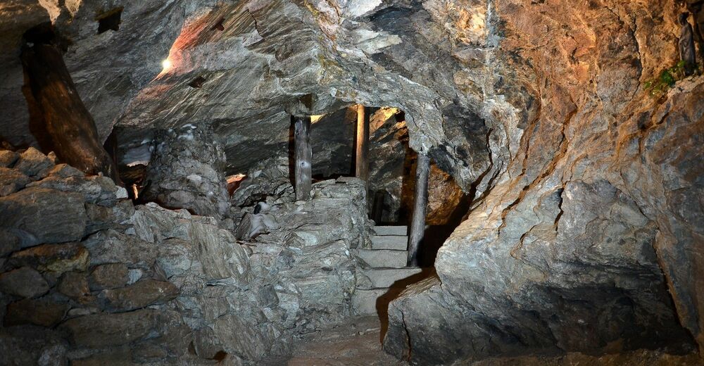
- Punto più alto
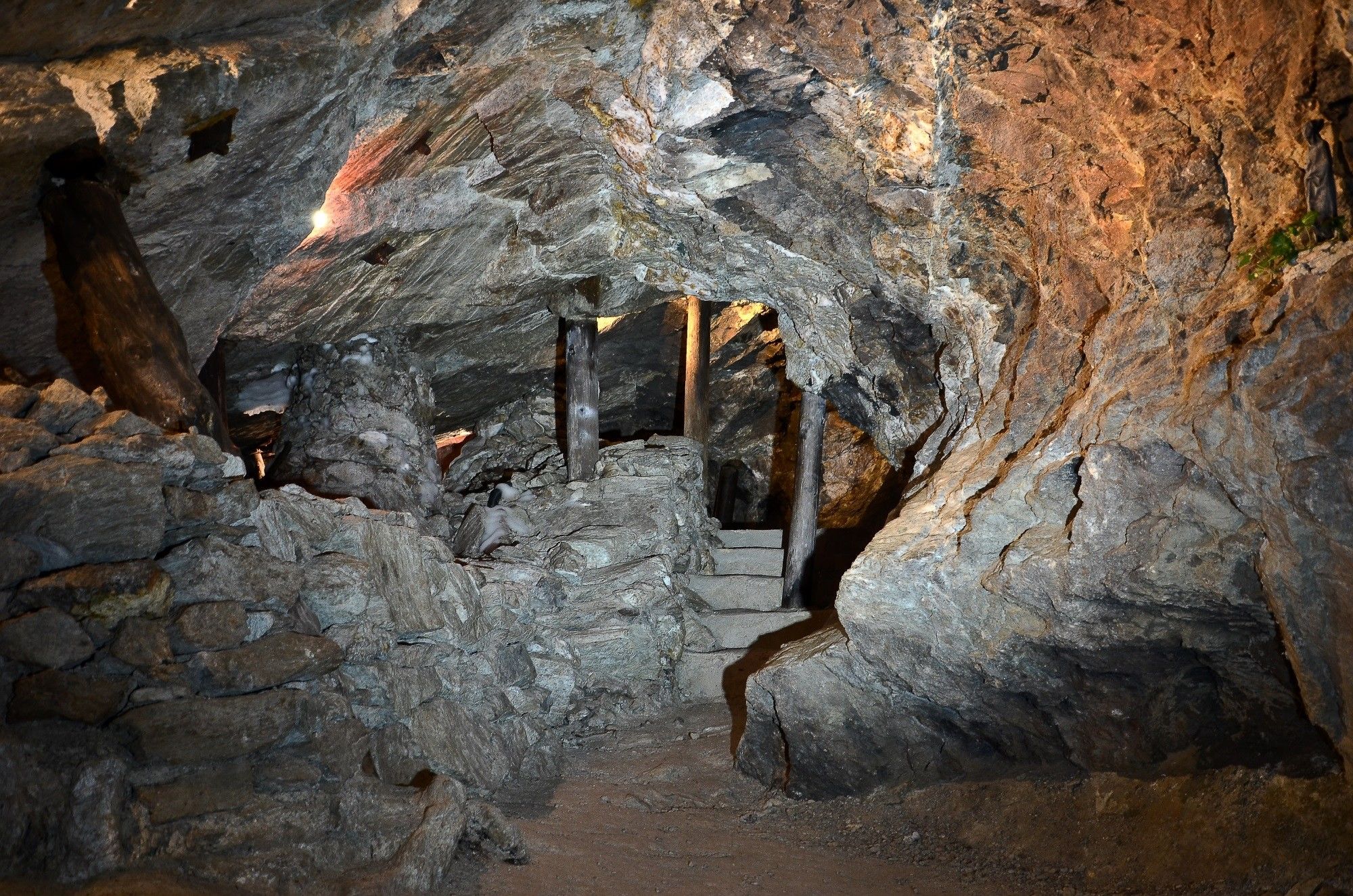
- Hüttau - Kupferzeche Larzenbach (1.803 m)
- Destinazione
-
Hüttau - Kupferzeche Larzenbach
GPS Downloads


Condizioni dei sentieri
Asfalto
(40%)
Ghiaia
(20%)
Prato
(30%)
Foresta
(10%)
Roccia
Esposta
Altri tour nelle regioni
-
Salzburger Sportwelt
2210
-
Hüttau
481