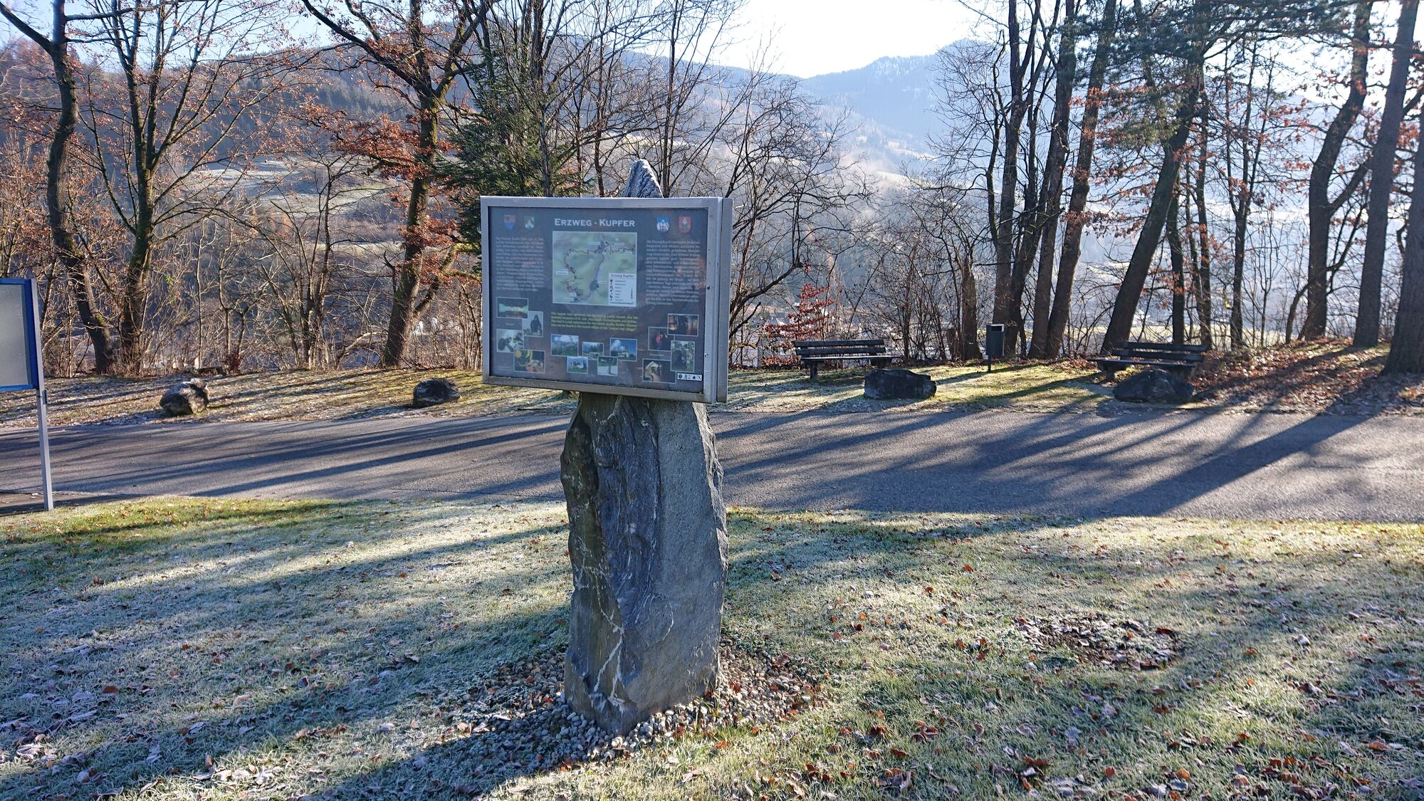
Erzweg Kupfer - 3. Etappe (UNESCO-Geopark Erz der Alpen)

Sentiero tematico


Dati percorsi
11,16km
546
- 1.524m
21hm
920hm
03:00h
- Descrizione rapida
-
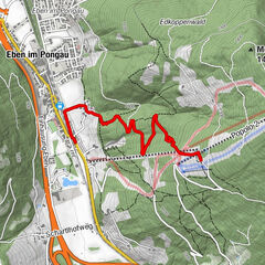
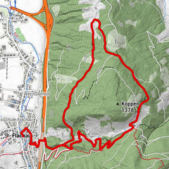
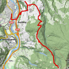
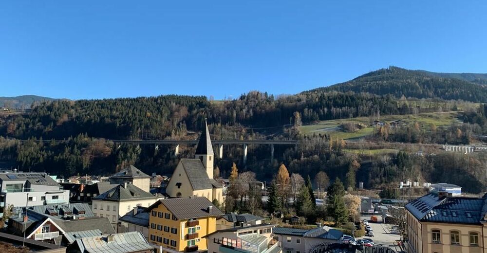
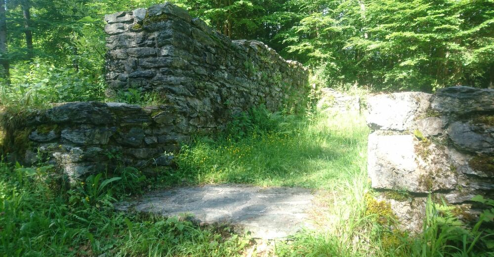
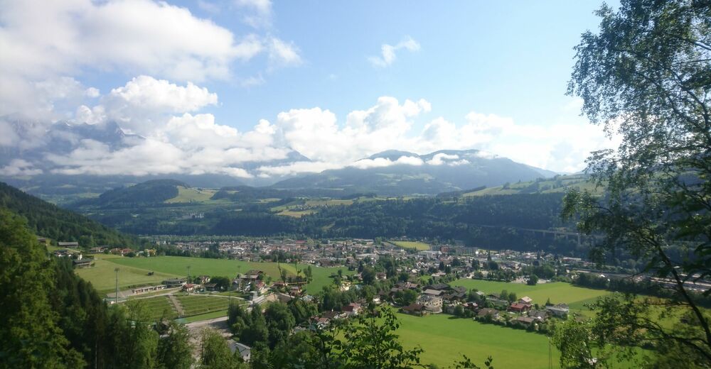
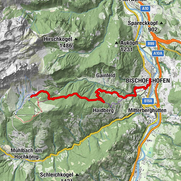
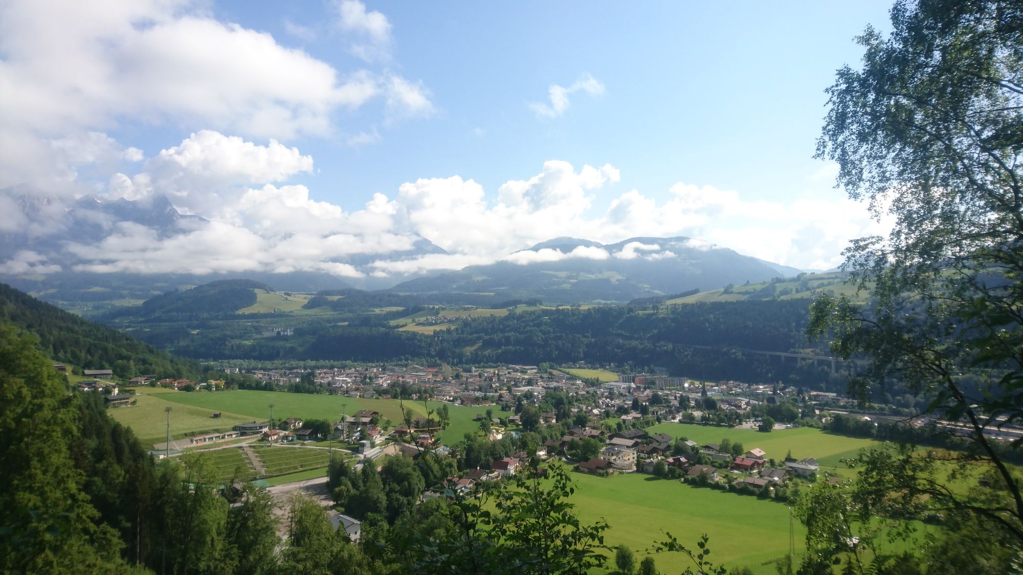
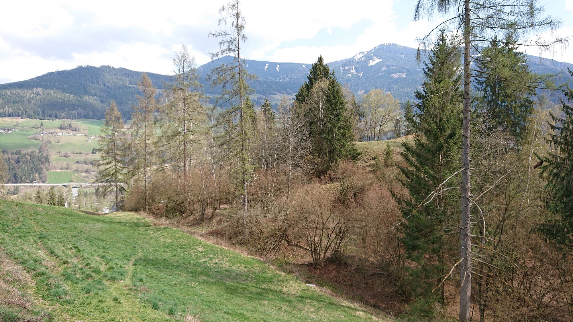
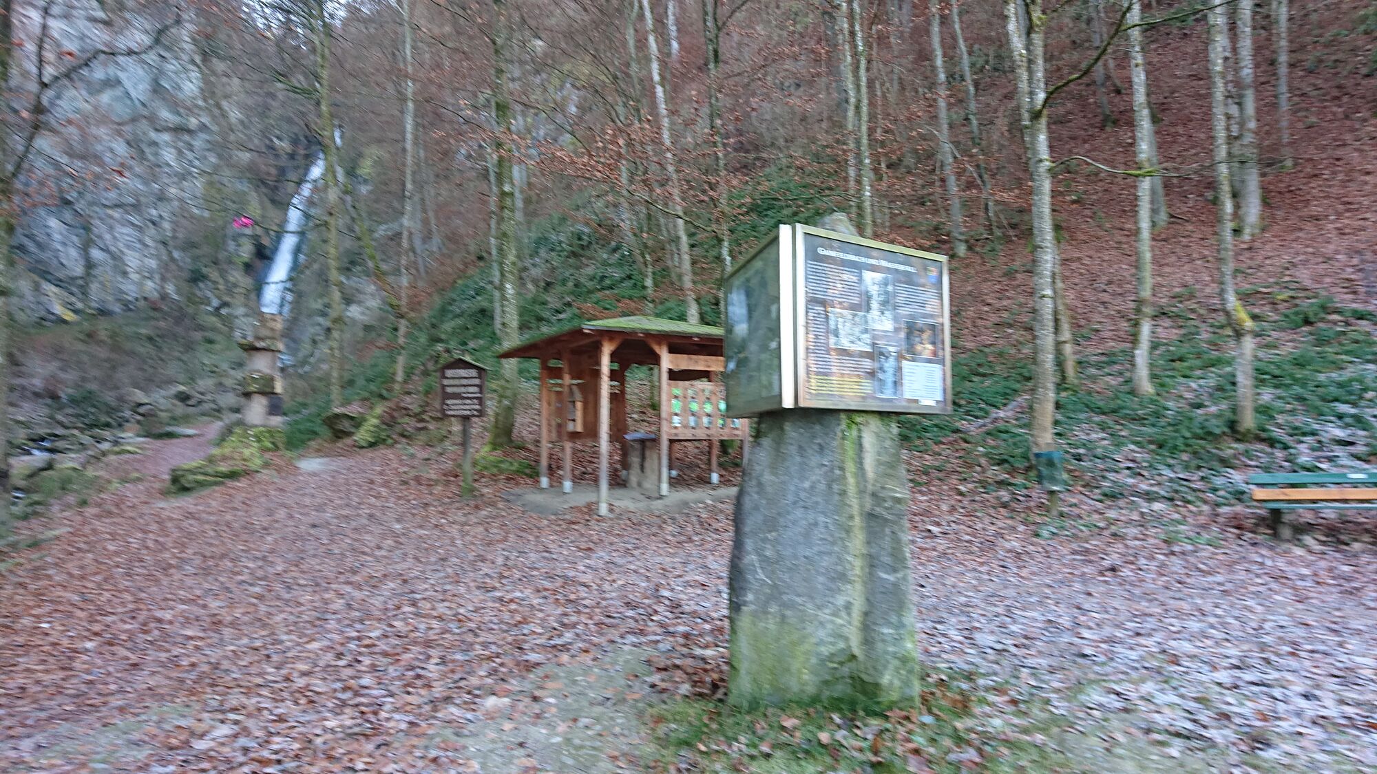
Die dritte Etappe des Erzweges führt vom Athurhaus über den alten Knappensteig, vorbei an der Burgruine Bachsfall nach Bischofshofen.
- Difficoltà
-
facile
- Valutazione
-
- Punto di partenza
-
Arthurhaus
- Percorso
-
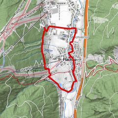
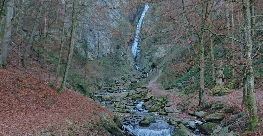
ArthurhausMitterbergsattel (1.515 m)0,2 kmGasthof Bürglhöh8,3 kmGainfeld Waterfall9,0 kmLaideregg9,7 kmEvang. Christuskirche10,5 kmGeorgikirchlein10,6 kmLiebfrauenkirche10,6 kmBischofshofen10,9 km
- La stagione migliore
-
genfebmaraprmaggiulugagosetottnovdic
- Punto più alto
- Bischofshofen (1.524 m)
- Destinazione
-
Bischofshofen Ortszentrum


GPS Downloads


Condizioni dei sentieri
Asfalto
(20%)
Ghiaia
(40%)
Prato
(20%)
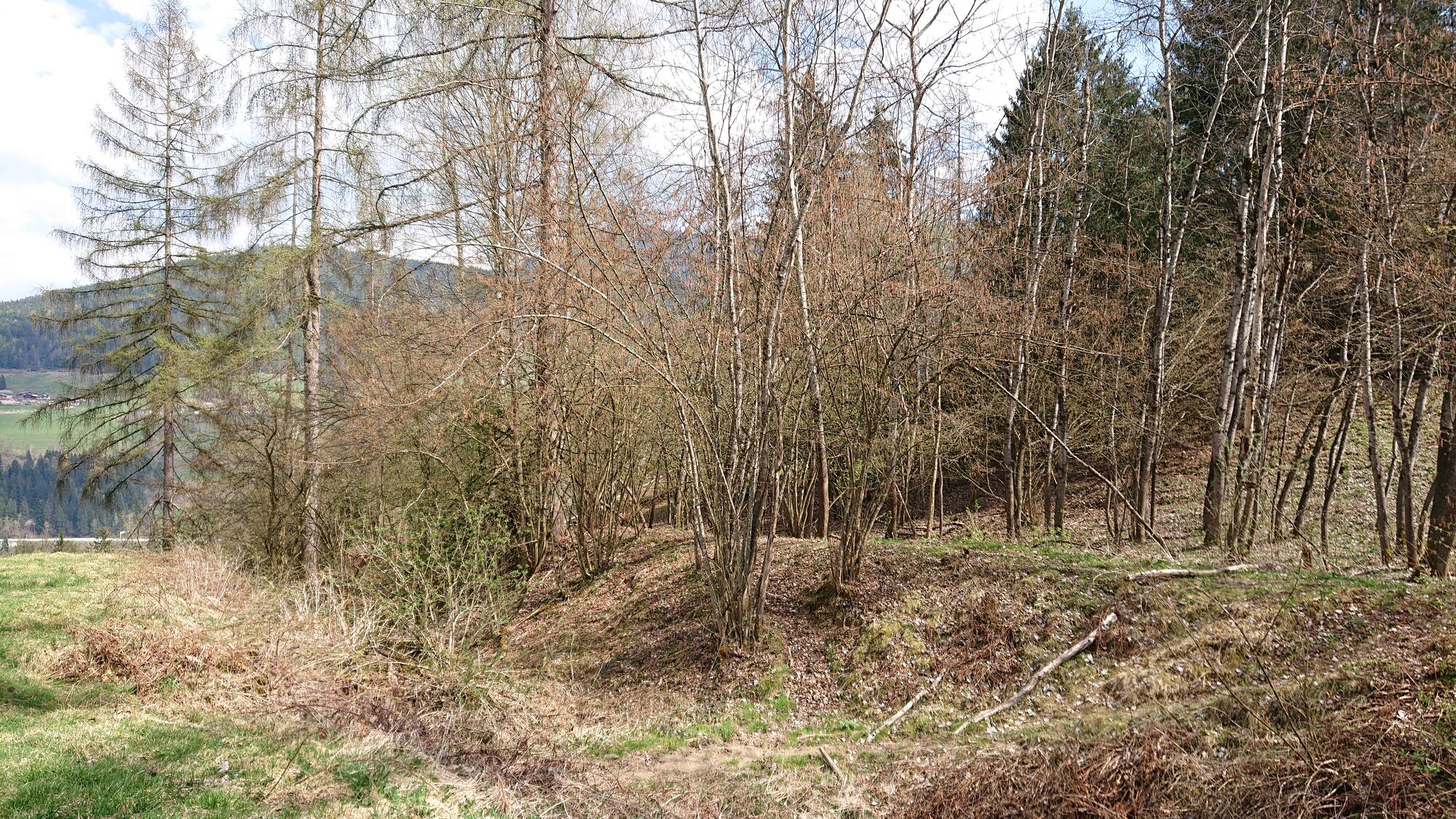
Foresta
(20%)
Roccia
Esposta
Altri tour nelle regioni