
- Descrizione rapida
-
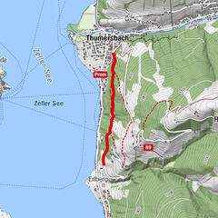
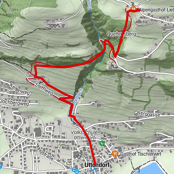
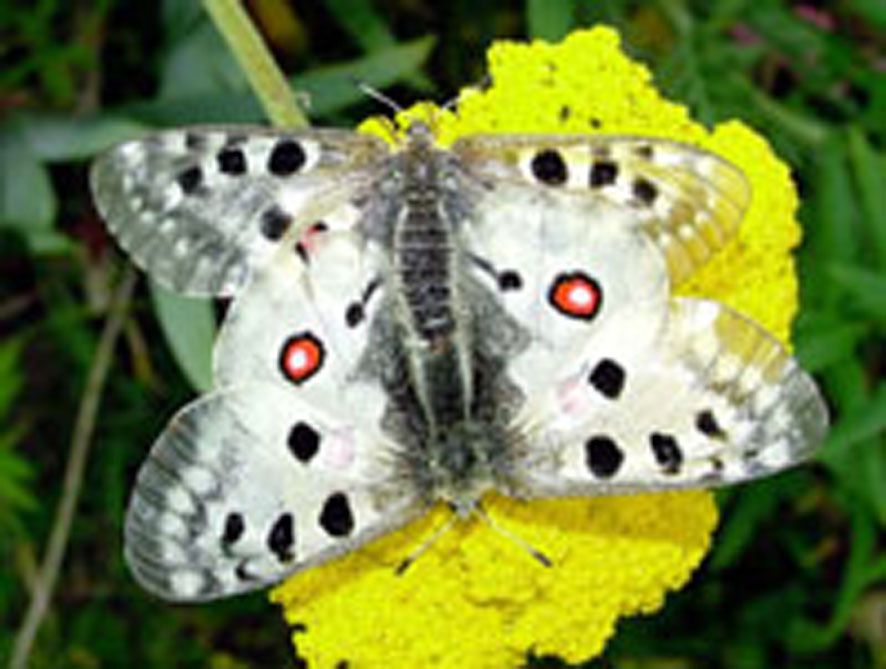
From the town center along Dorfbachstrasse and then following the information boards up the sunny slope of Uttendorf. The boards describe the growth and decay, the life and use of butterflies.
- Percorso
-
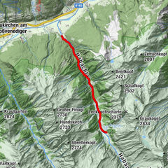
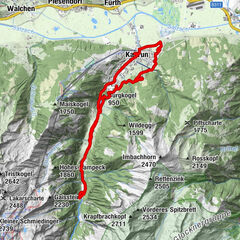
UttendorfQuettensberg2,0 kmAlpengasthof Liebenberg2,3 km
- Punto più alto
- 1.070 m
- Destinazione
-
Alpengasthof Liebenberg
- Profilo altimetrico
-

-
-
AutoreIl tour Uttendorf: Butterfly nature trail è utilizzato da outdooractive.com fornito.
GPS Downloads


Info generali
Fauna
Altri tour nelle regioni