
- Descrizione rapida
-
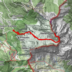
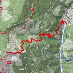
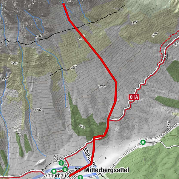
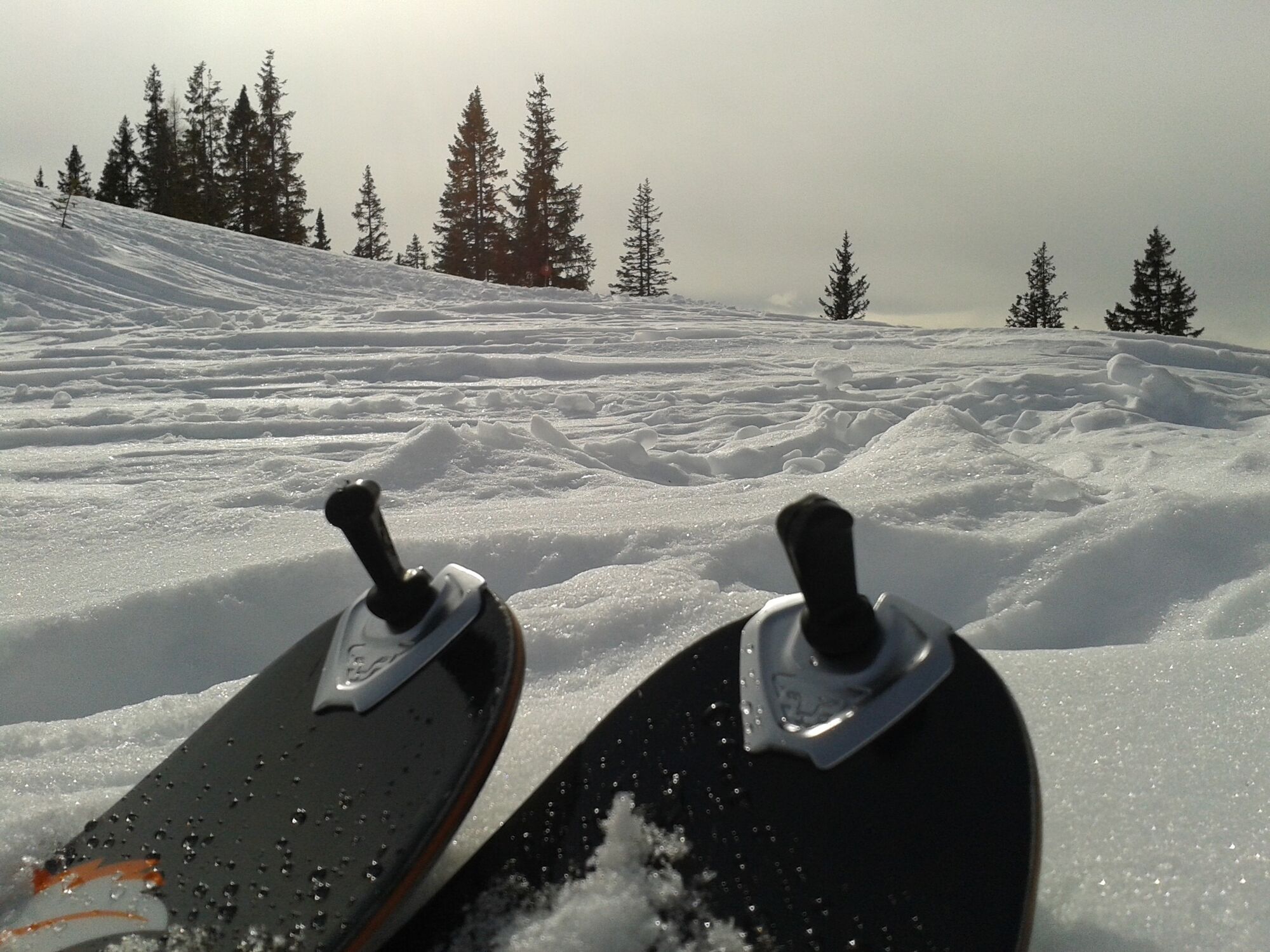
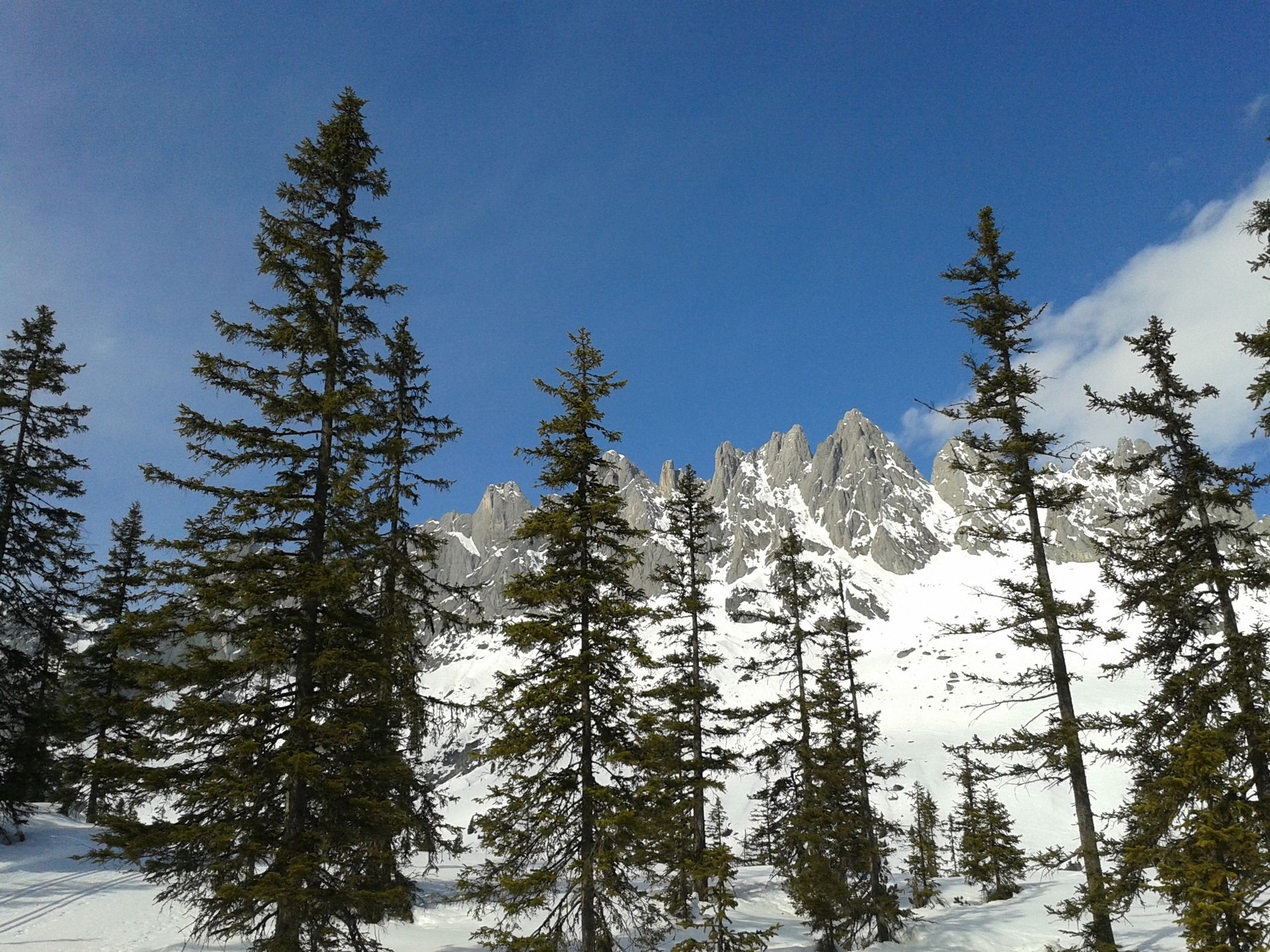
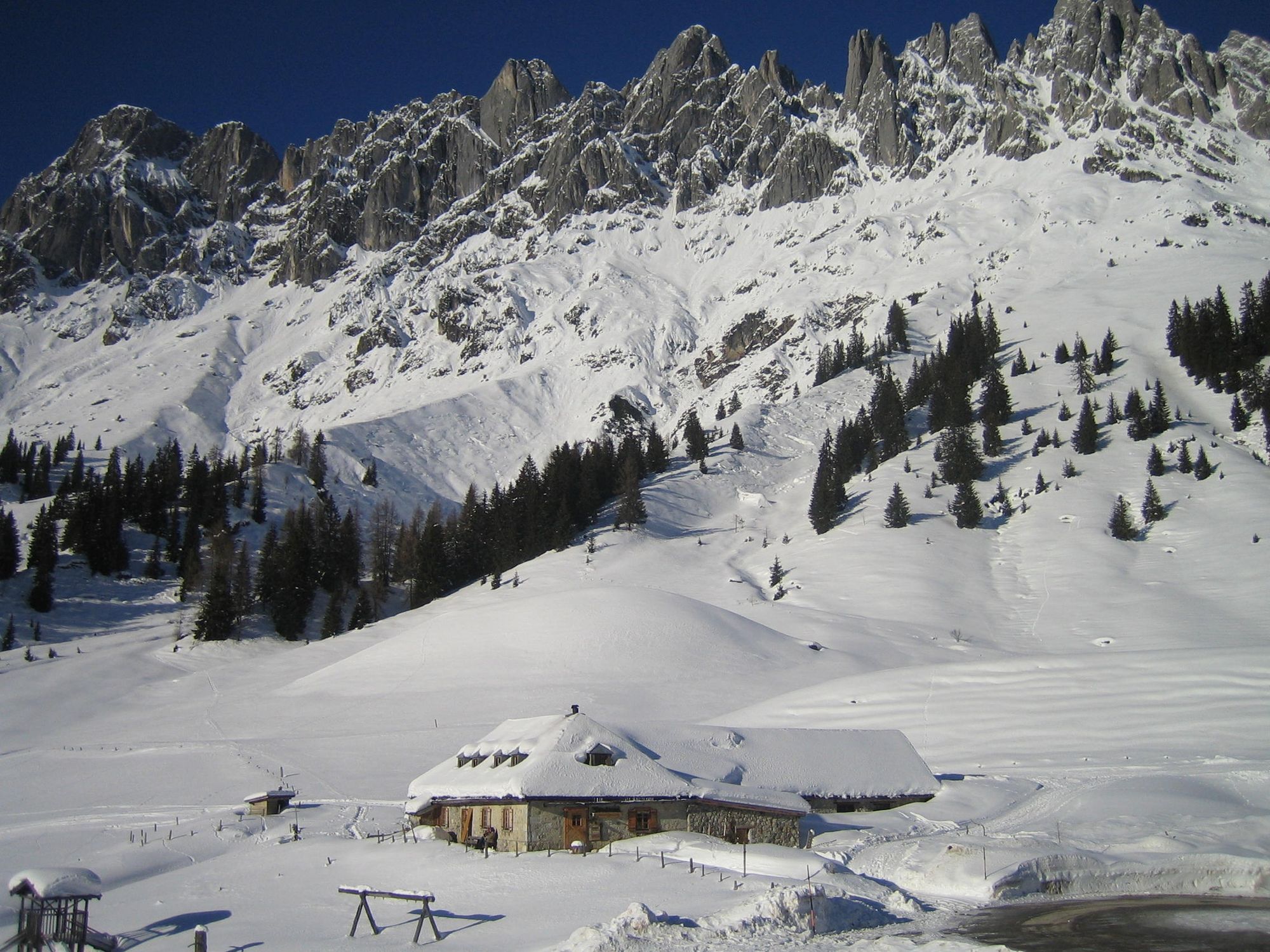
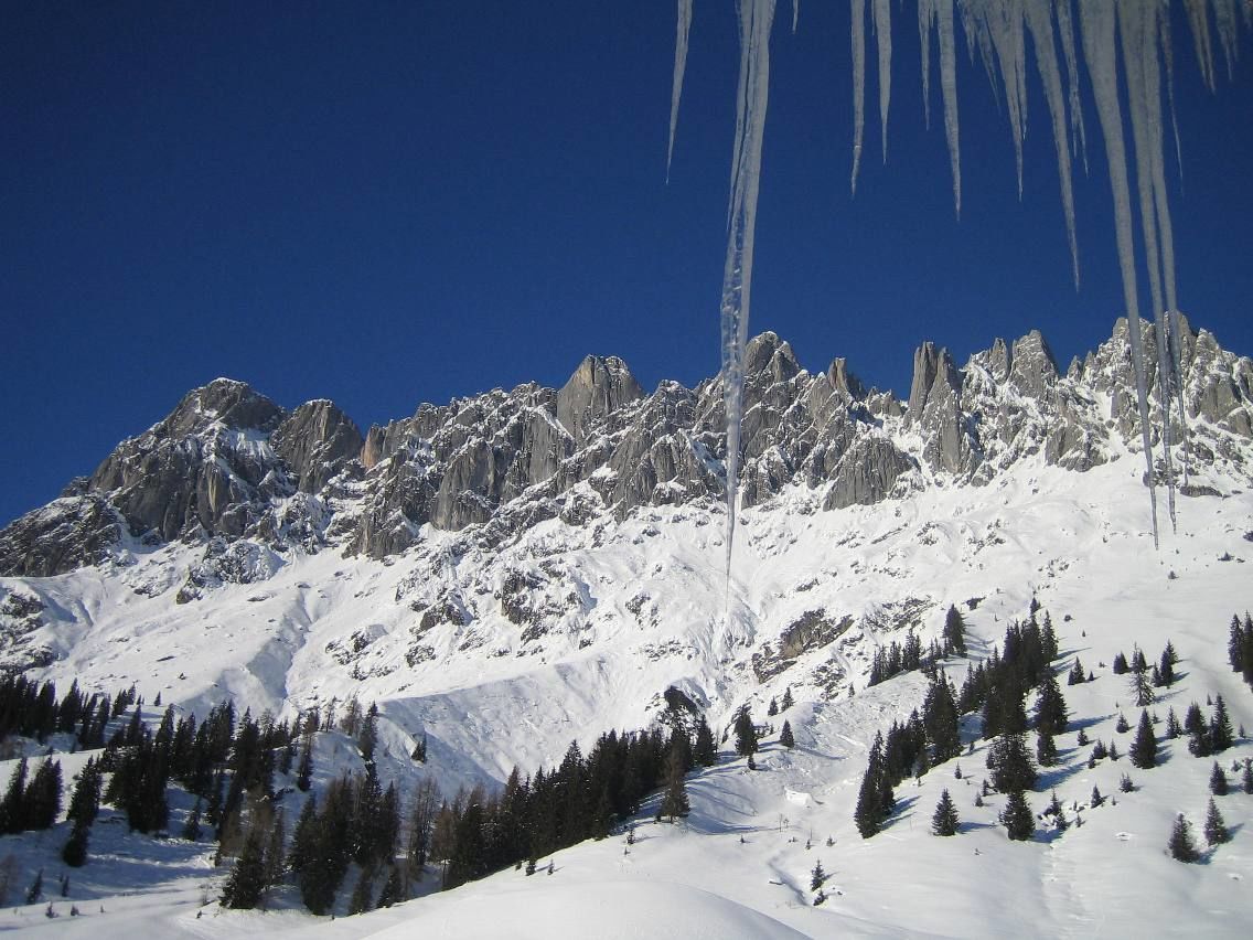
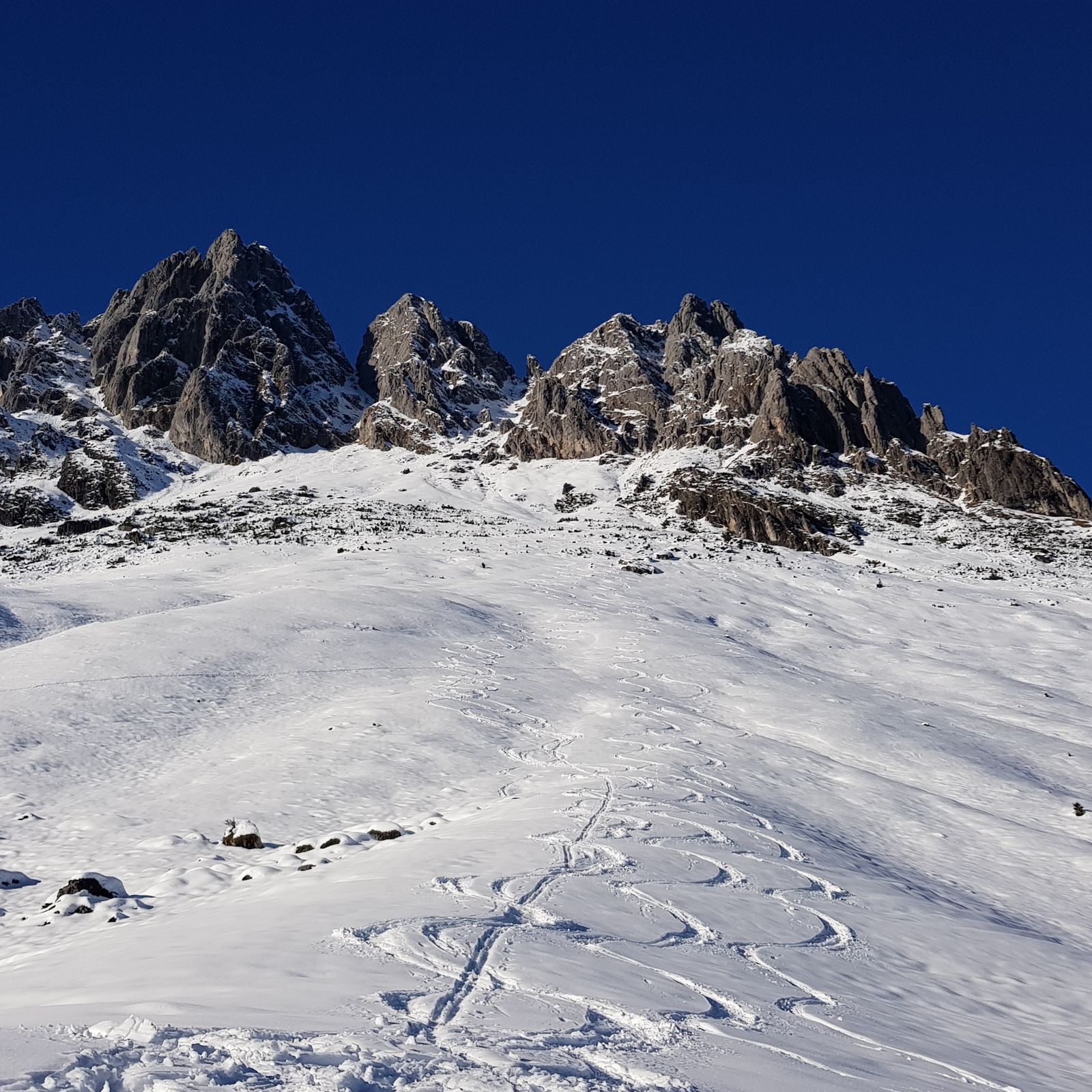
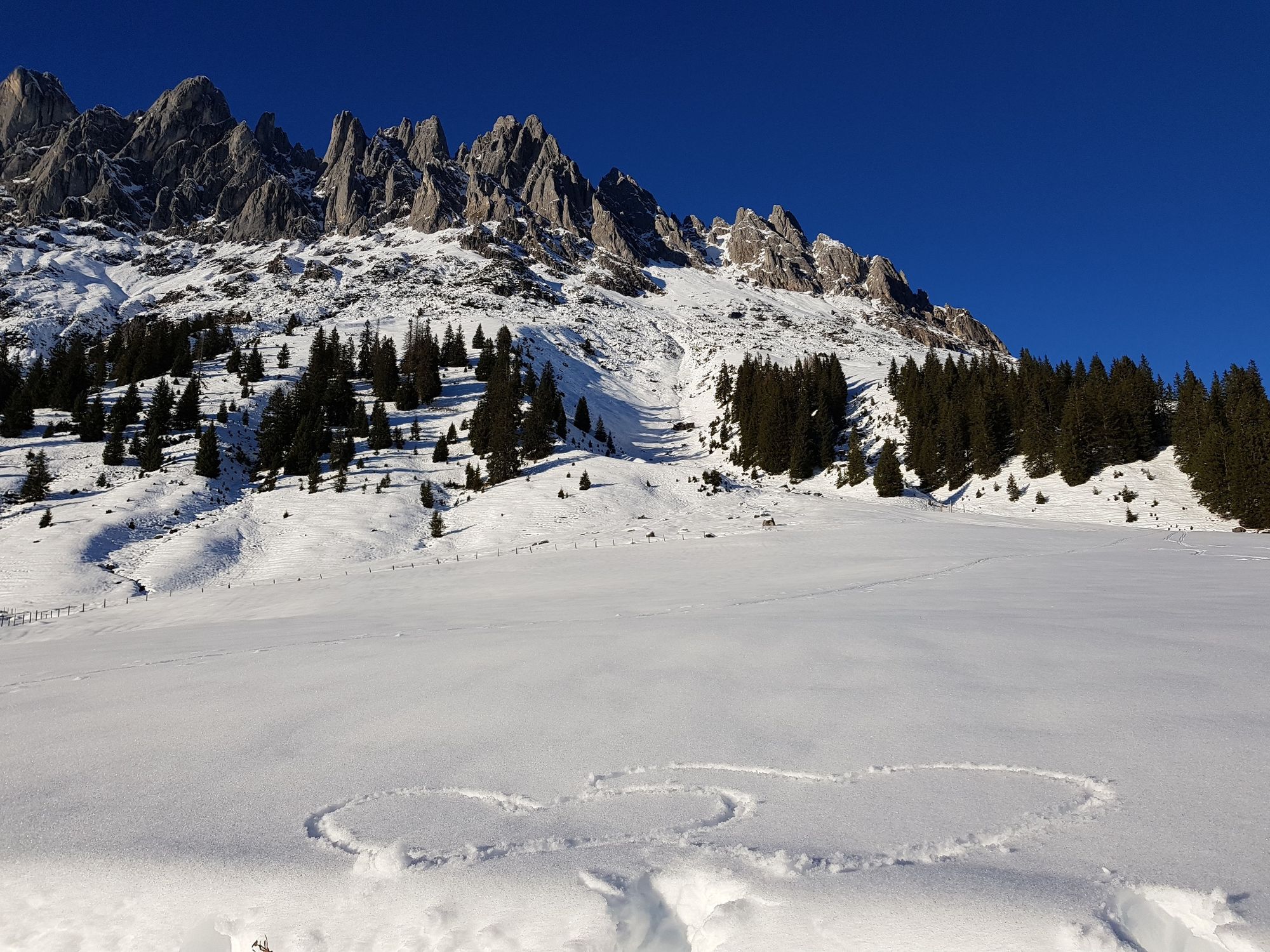
A sunny, panoramic ski tour at the foot of the Mandlwände with a racy steep gully in the uppermost section.
- Difficoltà
-
intermedio
- Valutazione
-
- Percorso
-
ArthurhausMitterbergsattel (1.515 m)0,2 km
- La stagione migliore
-
agosetottnovdicgenfebmaraprmaggiulug
- Punto più alto
- 2.096 m
- Destinazione
-
Vierrinnenköpfe
- Exposition
- Profilo altimetrico
-

- Autore
-
Il tour Skitouring Vierrinnenköpfe è utilizzato da outdooractive.com fornito.
GPS Downloads


Altri tour nelle regioni