© Salzburg Verkehr - Theresa Franziska Schilling

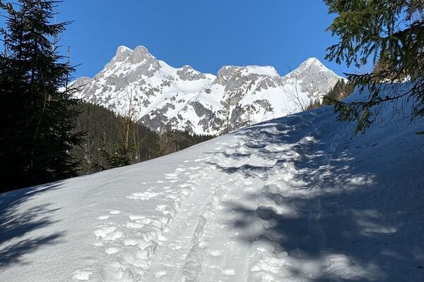
© Salzburg Verkehr - Theresa Franziska Schilling

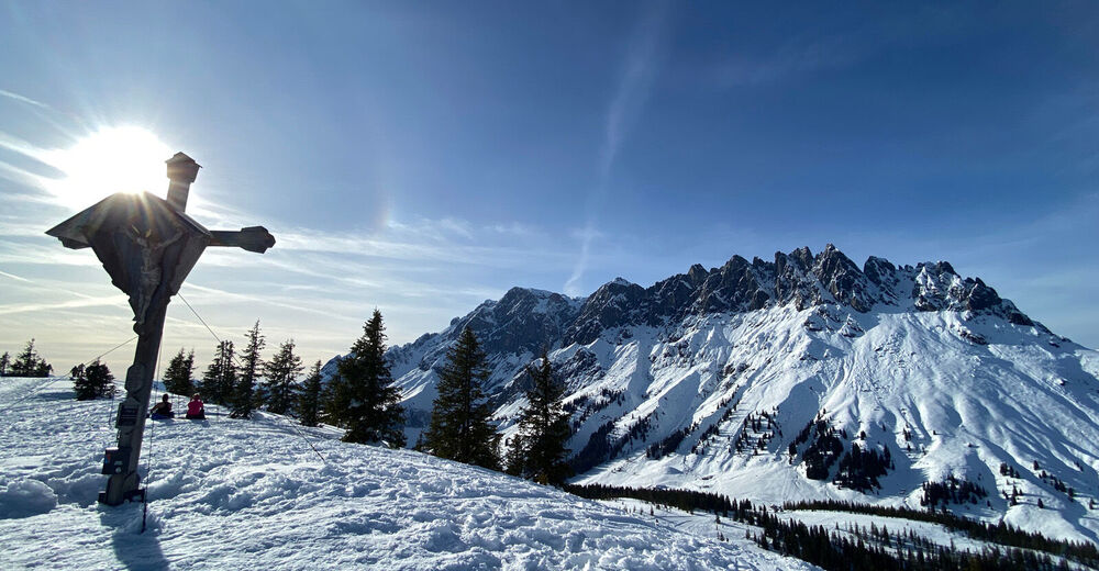
© Salzburg Verkehr - Theresa Franziska Schilling

© Salzburg Verkehr - Theresa Franziska Schilling

- Descrizione rapida
-
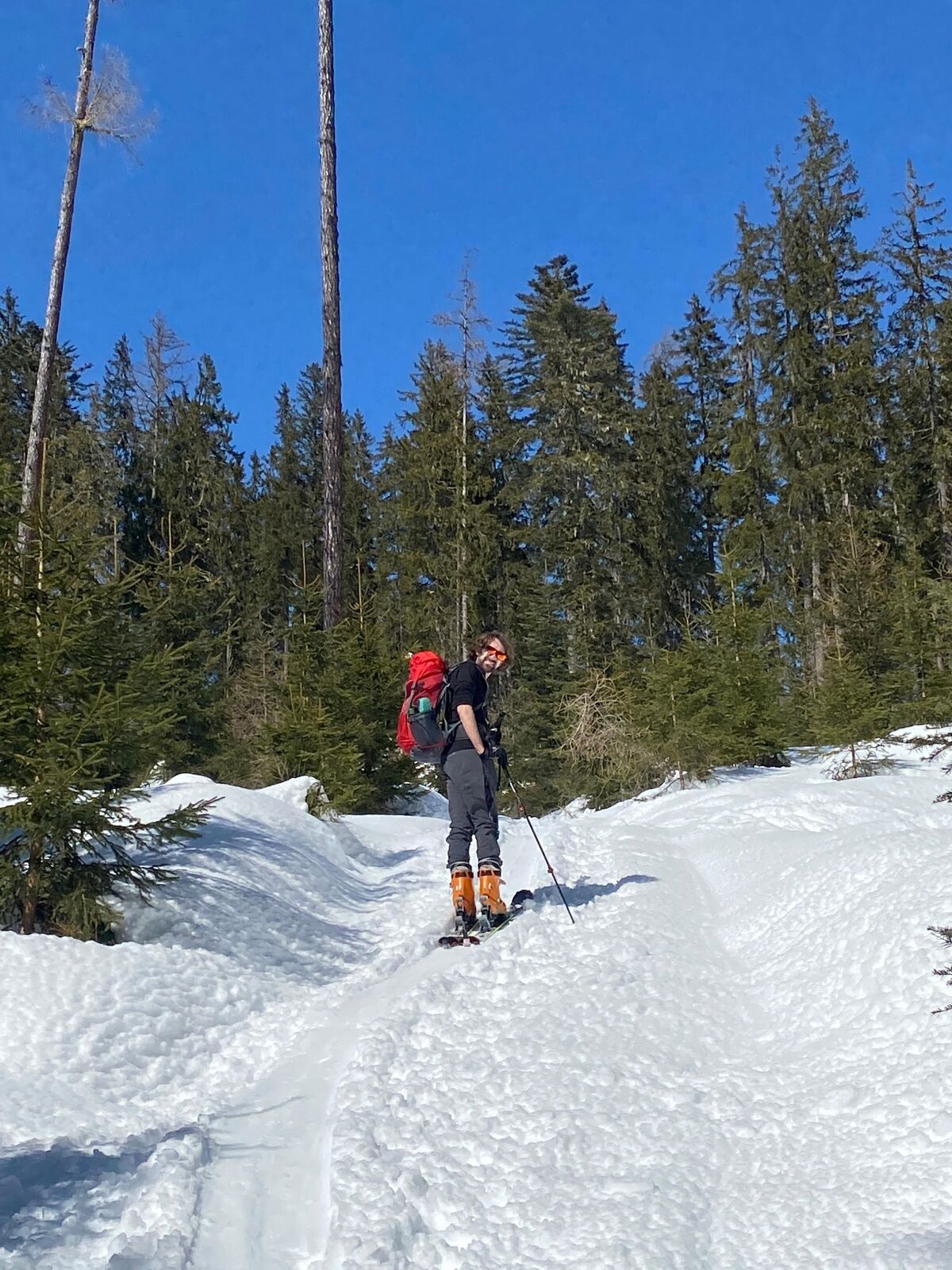
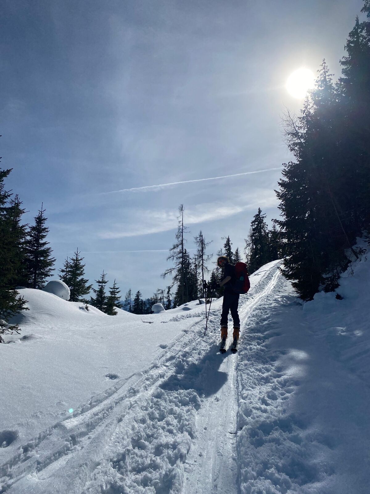
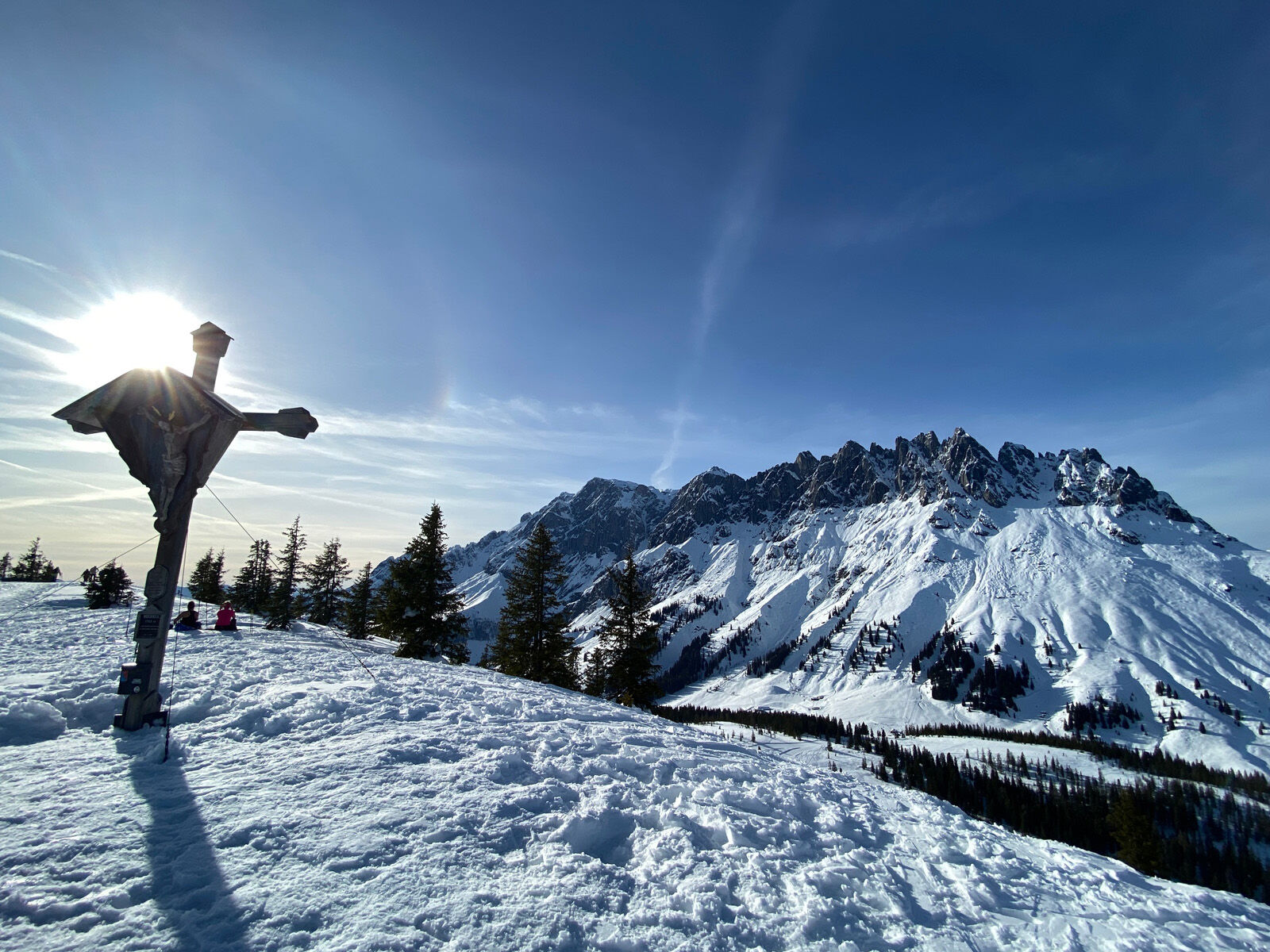
Lange, aber einfache Skitour auf den Hochkeil in Mühlbach mit fantastischem Panoramablick auf den Hochkönig.
- Difficoltà
-
intermedio
- Valutazione
-
- Percorso
-
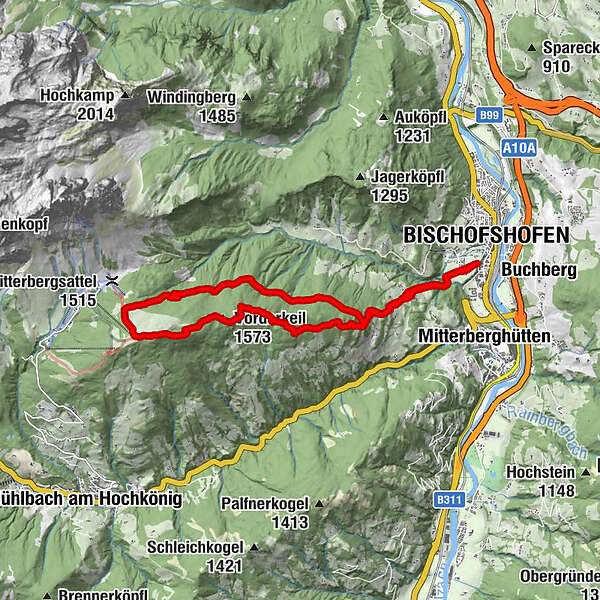
BischofshofenGainfeld Waterfall1,2 kmHaidberg3,6 kmVorderkeil (1.573 m)6,4 kmHochkeil (1.784 m)7,9 kmTroiboden8,7 kmGasthof Bürglhöh15,1 kmGainfeld Waterfall15,4 kmBischofshofen16,3 km
- La stagione migliore
-
agosetottnovdicgenfebmaraprmaggiulug
- Punto più alto
- 1.779 m
- Destinazione
-
Hochkeil 1.782 m und zurück zum Schanzengelände Bischofshofen
- Exposition
- Profilo altimetrico
-


-

-
AutoreIl tour Von Bischofshofen auf den Hochkeil è utilizzato da outdooractive.com fornito.
GPS Downloads


Info generali
Promettente
Altri tour nelle regioni