© Hotel Alpendorf - Aktivhotel Alpendorf

- Descrizione rapida
-
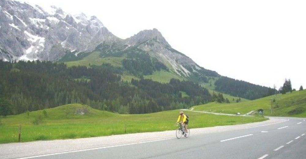
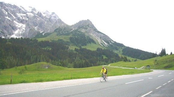
Gemütliche Rennradtour durch die Berge des Salzachtales
- Difficoltà
-
intermedio
- Valutazione
-
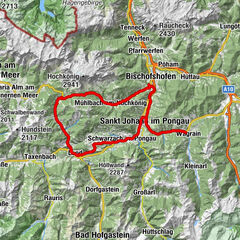
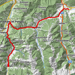
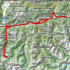
- Percorso
-
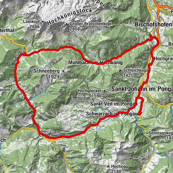
Alpendorf0,0 kmReitlehen1,1 kmSankt Johann im Pongau2,3 kmHalldorf3,1 kmGrafenhof5,0 kmSchwarzach im Pongau7,0 kmKlamm13,5 kmRaststation Posauner Petrol13,5 kmGasthof Posaunerwirt13,5 kmLend16,2 kmBruderau16,3 kmLend16,4 kmPfarrkirche hl. Rupert16,6 kmSonnberg23,9 kmSchattberg23,9 kmFischerstüberl24,7 kmDienten am Hochkönig27,8 kmHöfl-Zachhof29,6 kmKönig & Kuh31,2 kmMittereggalm33,2 kmBirgkarhaus33,3 kmHöring39,5 kmMühlbach am Hochkönig39,5 kmAnderlwirt39,5 kmMesnerhaus, Café, Bar & Restaurant39,5 kmPfarrkirche zum hl. Sebastian39,6 kmMitterberghütten47,6 kmBischofshofen48,0 kmPizzeria50,6 kmVenediger56,0 kmSankt Johann im Pongau57,1 kmSt. Johann im Pongau57,1 kmSankt Johann im Pongau57,3 kmReitlehen60,2 kmAlpendorf61,4 km
- La stagione migliore
-
genfebmaraprmaggiulugagosetottnovdic
- Punto più alto
- 1.367 m
- Destinazione
-
Hotel Alpendorf, Alpendorf 9, 5600 St. Johann www.hotel-alpendorf.at
- Profilo altimetrico
-

-

-
AutoreIl tour Dientner-Sattel-Runde è utilizzato da outdooractive.com fornito.
GPS Downloads


Info generali
Punto di ristoro
Promettente
Altri tour nelle regioni