Z17V Lessach - Ramingstein | Weg des Buches Zentral

Pellegrinaggio
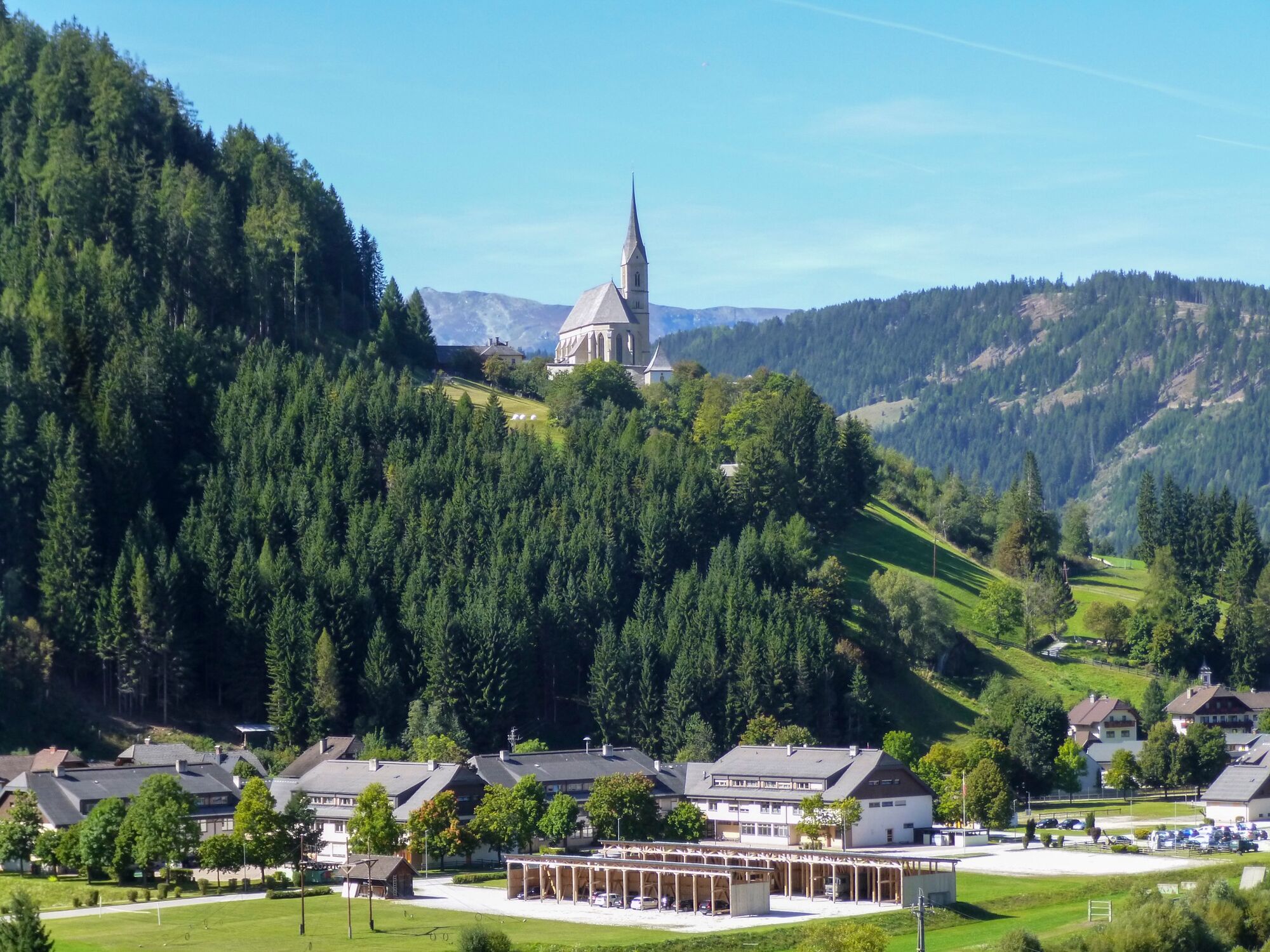
© Weg des Buches - Gerhard Moser
© Weg des Buches - Gerhard Moser
© Weg des Buches - Gerhard Moser
© Weg des Buches - Gerhard Moser
- Descrizione rapida
-
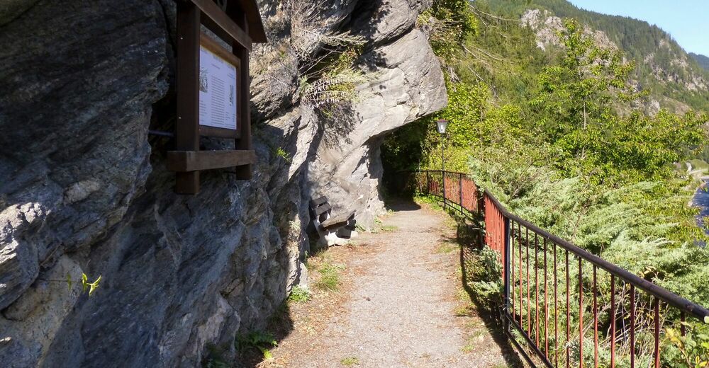
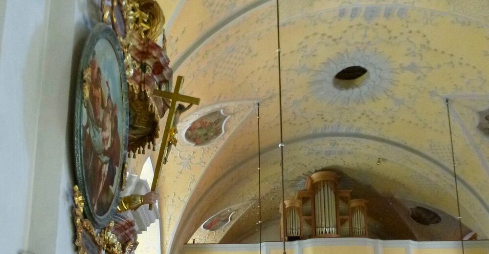
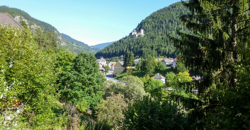
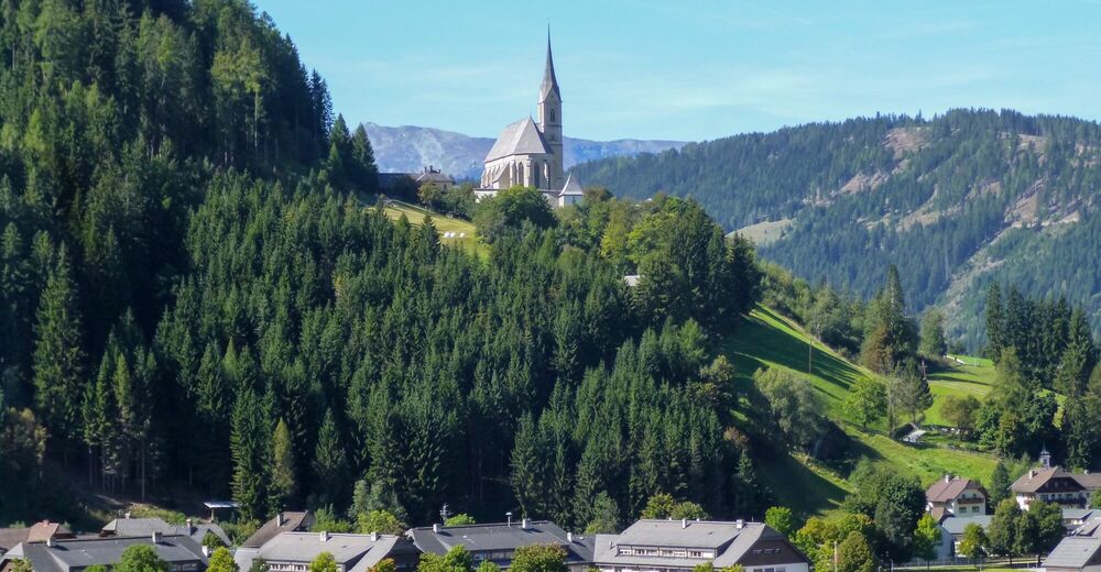
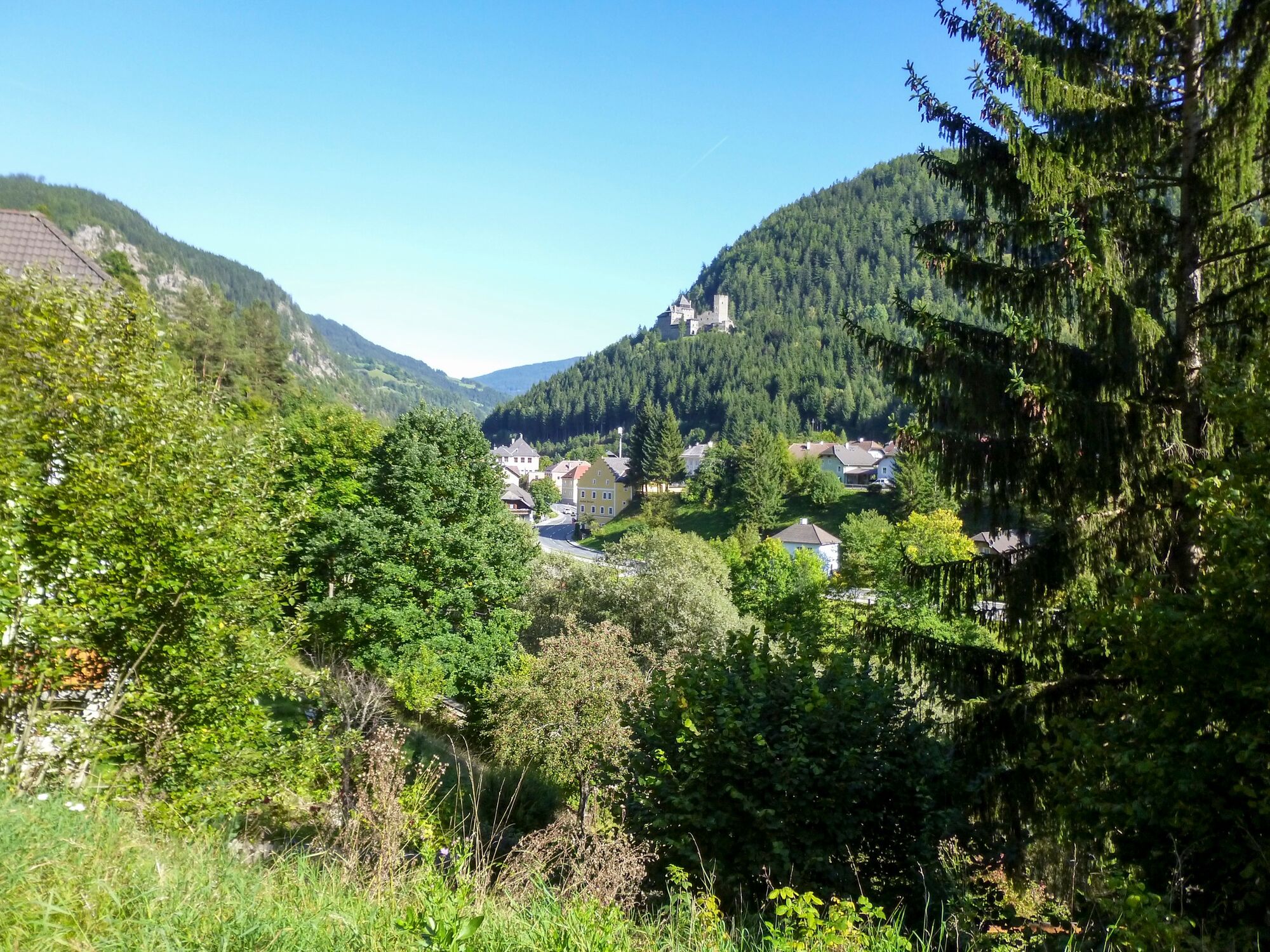
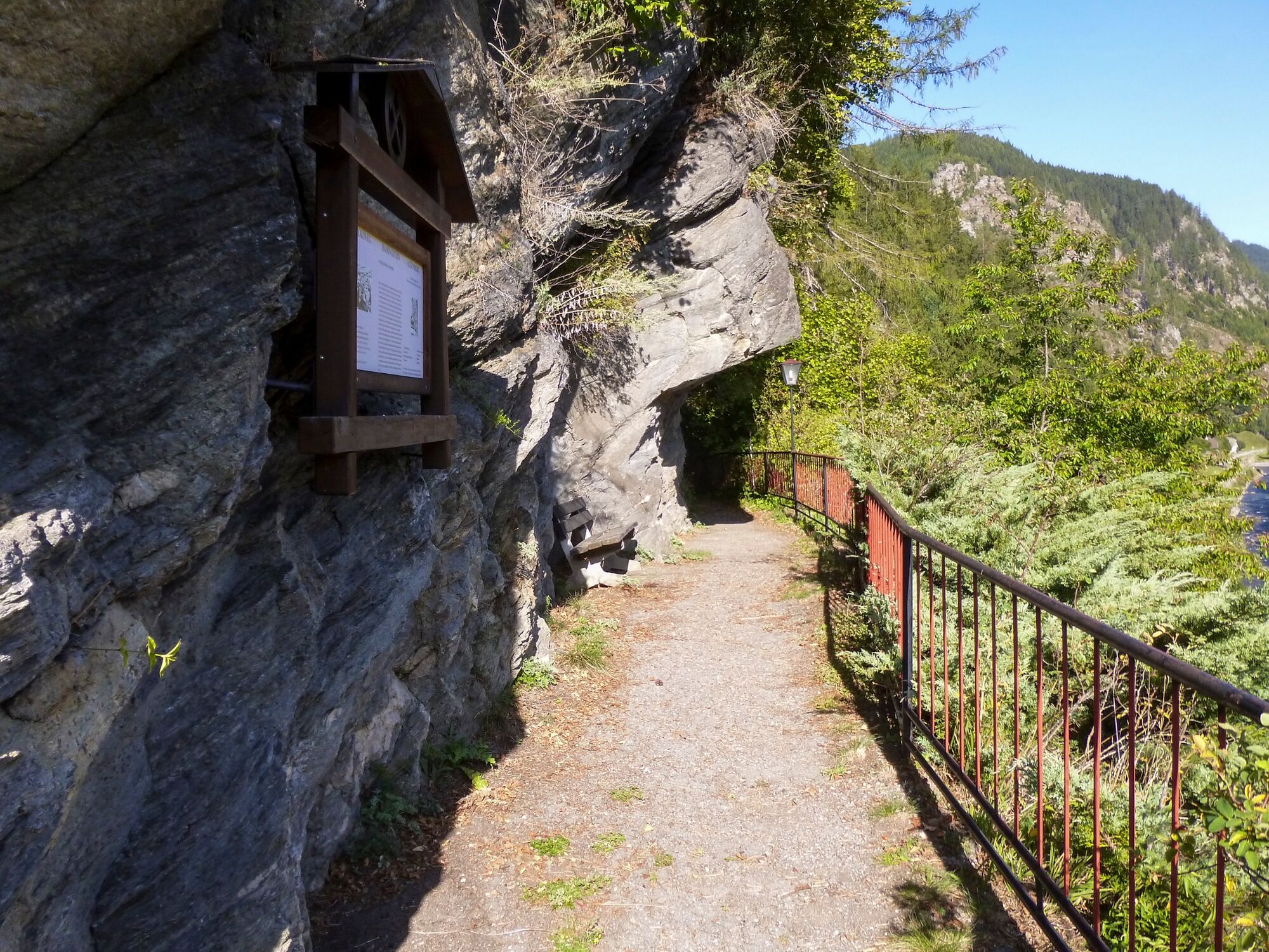
Von der Ortschaft Lessach auf Asphalt- und Waldwegen vorbei an der Ruine Turnschall nach Tamsweg und von der kath. Kirche Tamsweg über den Murradweg nach Ramingstein.
- Difficoltà
-
intermedio
- Valutazione
-
- Percorso
-
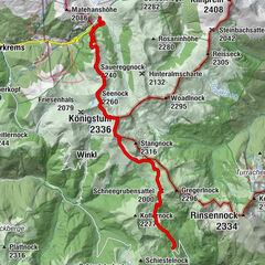
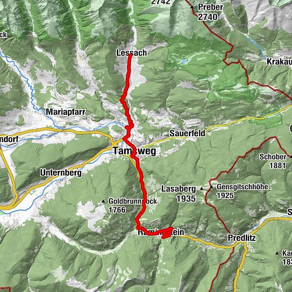
Pfarrkirche hl. PaulusOberdorf0,0 kmUnterdorf0,0 kmLessach0,0 kmZoitzach1,4 kmWölting5,8 kmPfarrkirche Tamsweg8,9 kmTamsweg9,1 kmJosefinenquelle10,7 kmEinöd13,8 kmMadling (976 m)15,3 kmMuhr15,6 kmSchwarzenbergsiedlung16,2 kmRamingstein Thomatal16,4 kmRamingstein17,1 kmStein17,4 kmSchlosserbühel18,0 kmDorfwirt Bräu18,3 kmRamingstein18,4 km
- La stagione migliore
-
genfebmaraprmaggiulugagosetottnovdic
- Punto più alto
- 1.219 m
- Destinazione
-
Ramingstein
- Profilo altimetrico
-


- Autore
-
Il tour Z17V Lessach - Ramingstein | Weg des Buches Zentral è utilizzato da outdooractive.com fornito.
GPS Downloads


Info generali
Punto di ristoro
Culturale/Storico
Altri tour nelle regioni
-
Katschberg Lieser-Maltatal
2574
-
Lungau - Ferienregion
871
-
Tamsweg
133