© Hotel Königgut - Christine Bauernhansl

© Hotel Königgut - Christine Bauernhansl

© Hotel Königgut - Christine Bauernhansl

© Hotel Königgut - Christine Bauernhansl

© Hotel Königgut - Christine Bauernhansl

© Hotel Königgut - Christine Bauernhansl

© Hotel Königgut - Christine Bauernhansl

© Hotel Königgut - Christine Bauernhansl

© Hotel Königgut - Christine Bauernhansl

© Hotel Königgut - Christine Bauernhansl

- Descrizione rapida
-
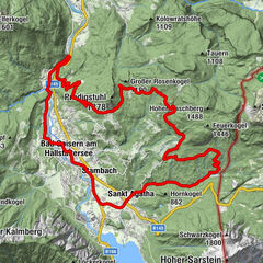
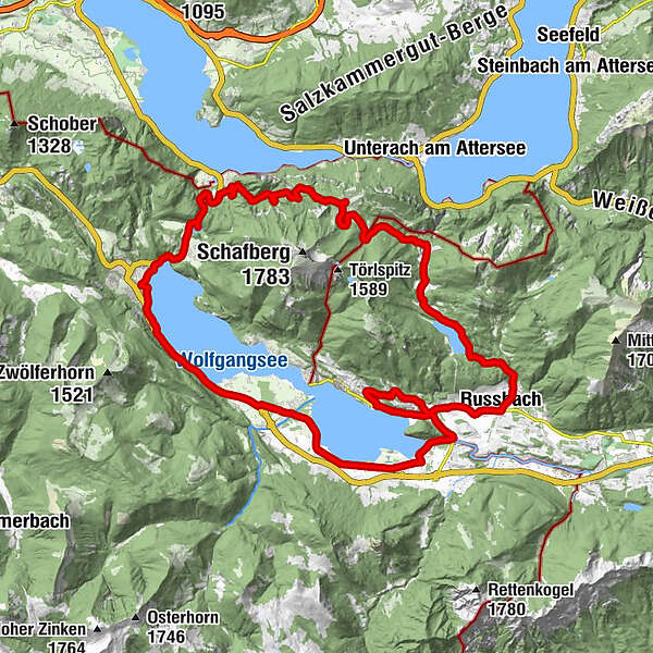
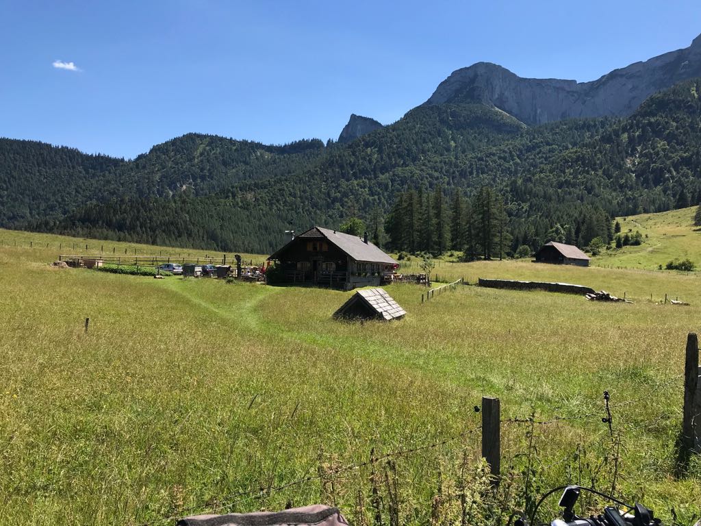
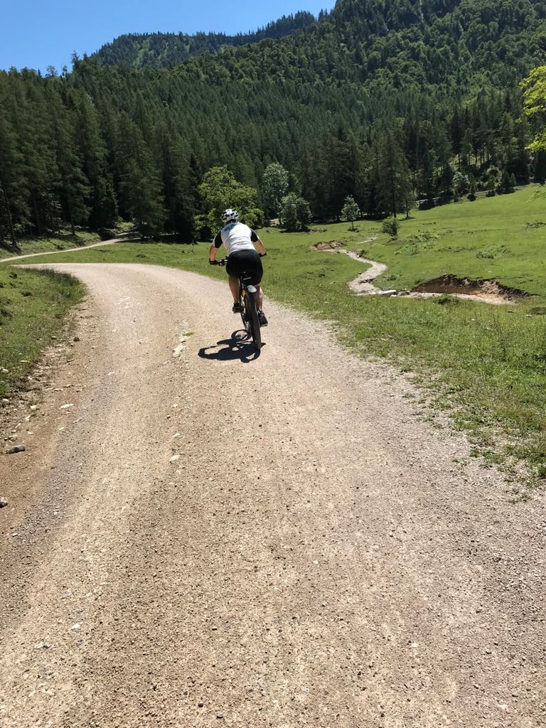
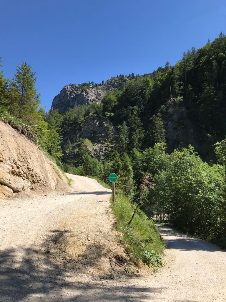
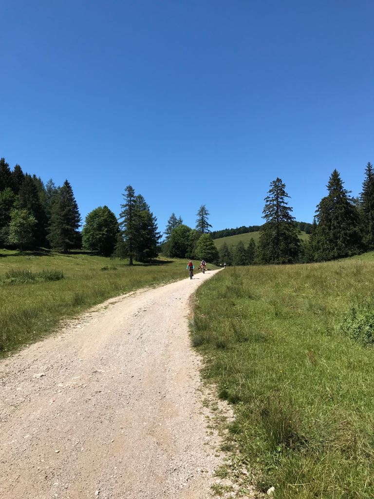
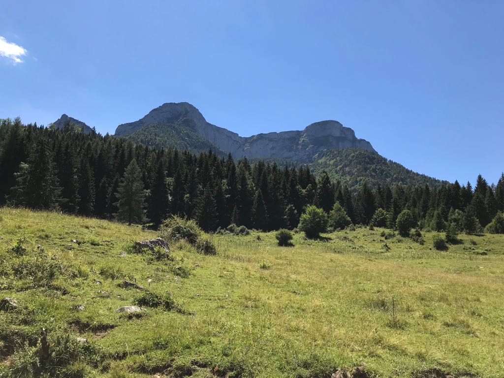
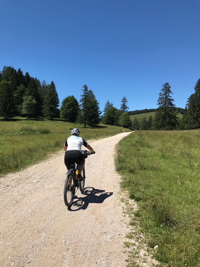
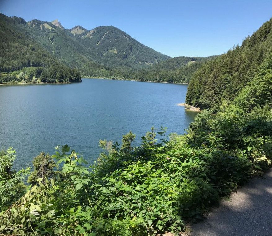
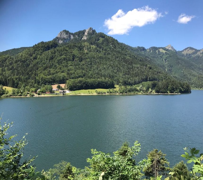
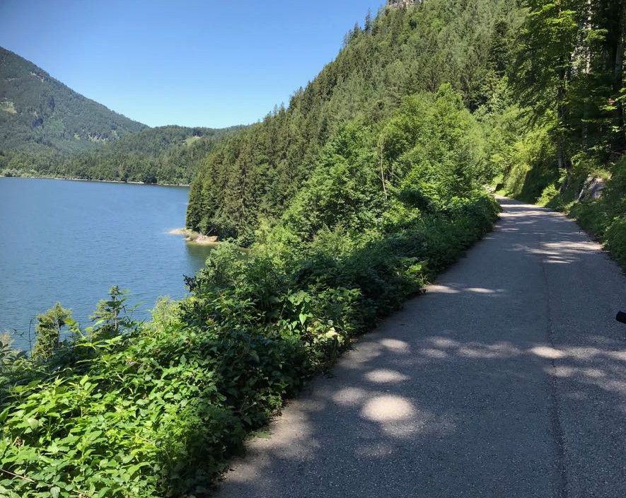
Mountainbiketour rund um den Wolfgangsee, hinauf zum Schwarzensee und weiter über eine Almlandschaft zur Buchberghütte!
- Difficoltà
-
intermedio
- Valutazione
-
- Percorso
-
Schmalnau0,5 kmGasthaus Batzenhäusl0,6 kmHüttenstein0,7 kmWinkl1,2 kmMühlauhöhe1,5 kmBrunnleiten1,9 kmBrunnwinkl2,0 kmSankt Gilgen3,3 kmPfarrkirche St.Gilgen3,3 kmSankt Gilgen3,6 kmLueg4,9 kmFranzosenschanze6,3 kmSeegasthof Gamsjaga7,6 kmGschwand8,1 kmWeidinger Stub'n11,0 kmPizzeria Miramare11,0 kmStrobl15,3 kmPfarrkirche zum Hl. Sigismund15,7 kmBürglstein16,2 kmSchwarzenbach18,2 kmAschau19,5 kmAu20,7 kmGasthof Bürglstein23,1 kmSchwarzenbach23,3 kmGraben24,4 kmRussbach25,9 kmKösselfall27,1 kmBuchberghütte38,2 kmBlick über den Mondsee40,1 km
- La stagione migliore
-
genfebmaraprmaggiulugagosetottnovdic
- Punto più alto
- 1.013 m
- Destinazione
-
Krottensee
- Profilo altimetrico
-


-

-
AutoreIl tour Schafbergrunde Wolfgangsee è utilizzato da outdooractive.com fornito.
GPS Downloads


Info generali
Punto di ristoro
Promettente
Altri tour nelle regioni