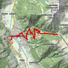
Dati percorsi
8,94km
849
- 2.007m
1.149hm
1.149hm
00:29h
- Difficoltà
-
difficile
- Valutazione
-
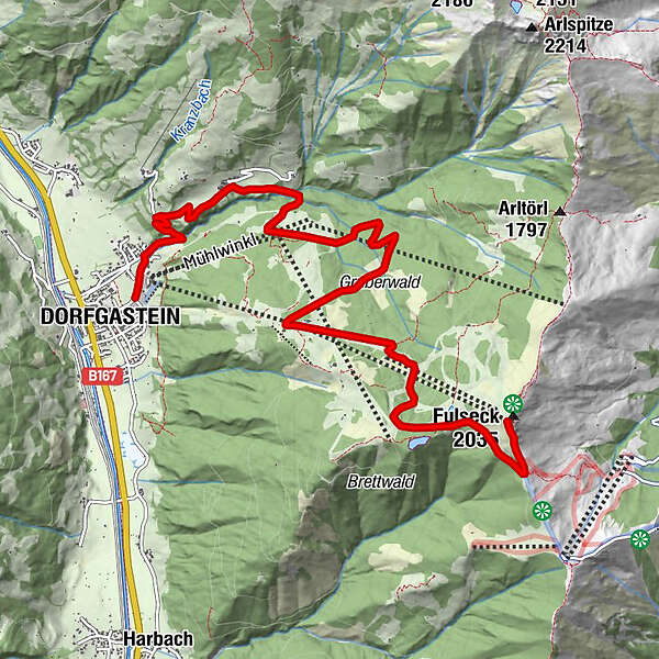
- Punto di partenza
-
Dorfgastein
- Percorso
-
DorfgasteinBrandlalm5,5 kmGipfelstadl Fulseck8,8 kmFulseck (2.033 m)8,9 km
- La stagione migliore
-
genfebmaraprmaggiulugagosetottnovdic
- Punto più alto
- 2.007 m
- Riposo/Ritiro
-
Gasthof Hauserbauer, Reiterhütte, Hauserbauer's Gipflstadl
- Cartine
-
TVB Dorfgastein, info@dorfgastein.com
GPS Downloads


Percorsi
Asfalto
Ghiaia
Foresta
Vie di montagna
Singletrail
Trial
Traffico
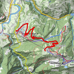
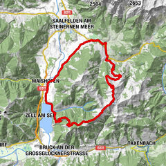
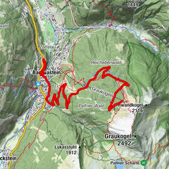
Altri tour nelle regioni