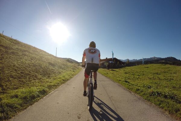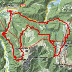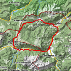

Dati percorsi
8,1km
625
- 1.586m
947hm
01:00h
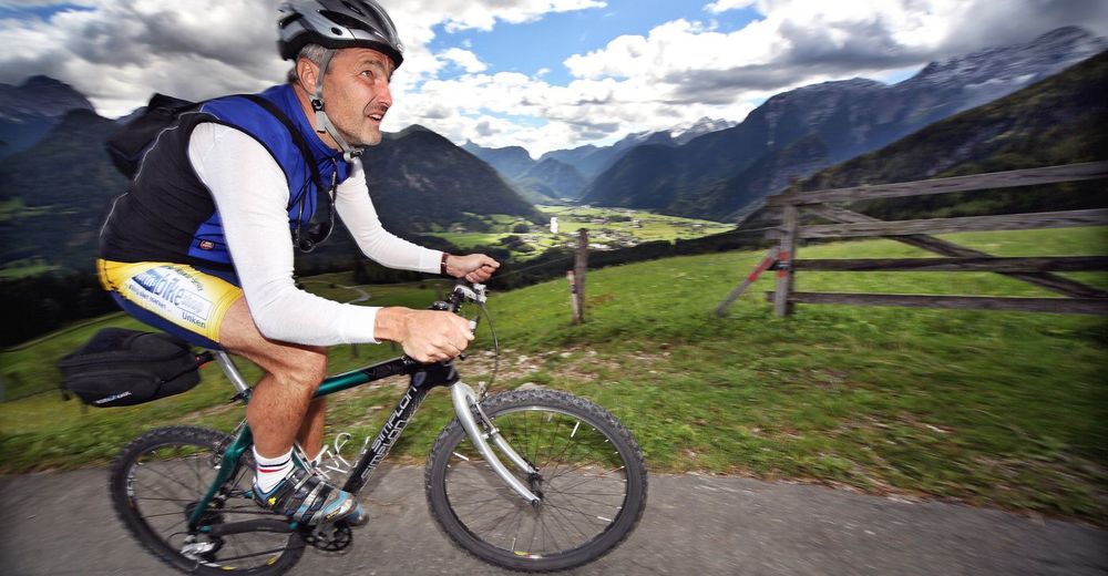
- Valutazione
-
- Percorso
-
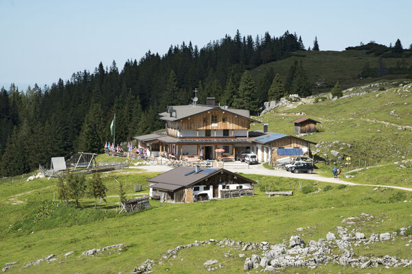
Pfarrkirche Hll Maria und Leonhard0,1 kmLofer0,2 kmBischofsquelle0,9 kmFaistau1,6 kmLoderbichl3,1 kmFamily Express6,2 kmSteger Kaserei6,4 kmSkihütte Schönblick6,7 km
- Punto più alto
- 1.586 m
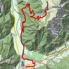
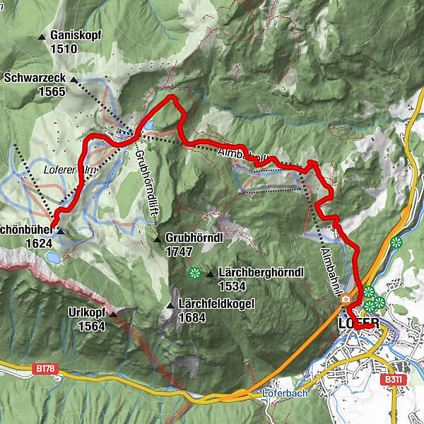
- Cartine
-
Infomaterial wird gerne zugesandt
GPS Downloads


Altri tour nelle regioni