LE 02 | Schwarzleo - Schwarzbach / Schwarzbach - Schwarzleo

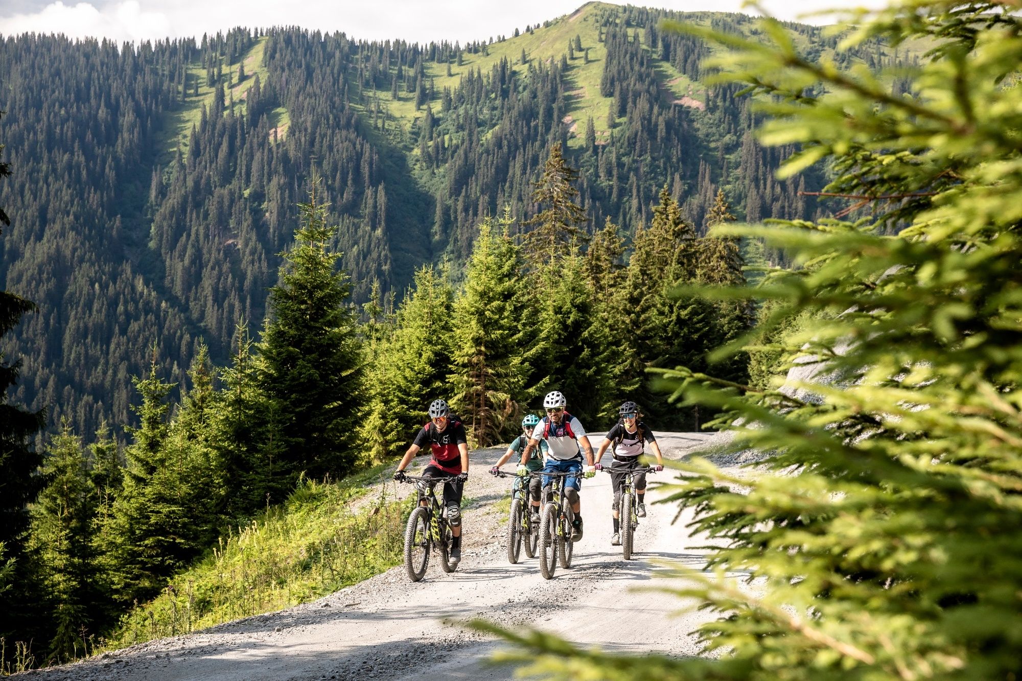
Mountainbike

© (c) SALE Touristik GmbH | Klemens König - Saalfelden Leogang

© (c) Saalfelden Touristik GmbH | Klemens König - Saalfelden Leogang


- Descrizione rapida
-
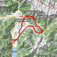
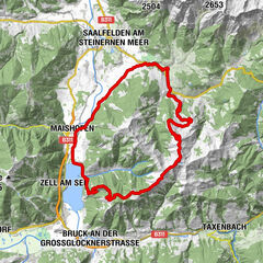
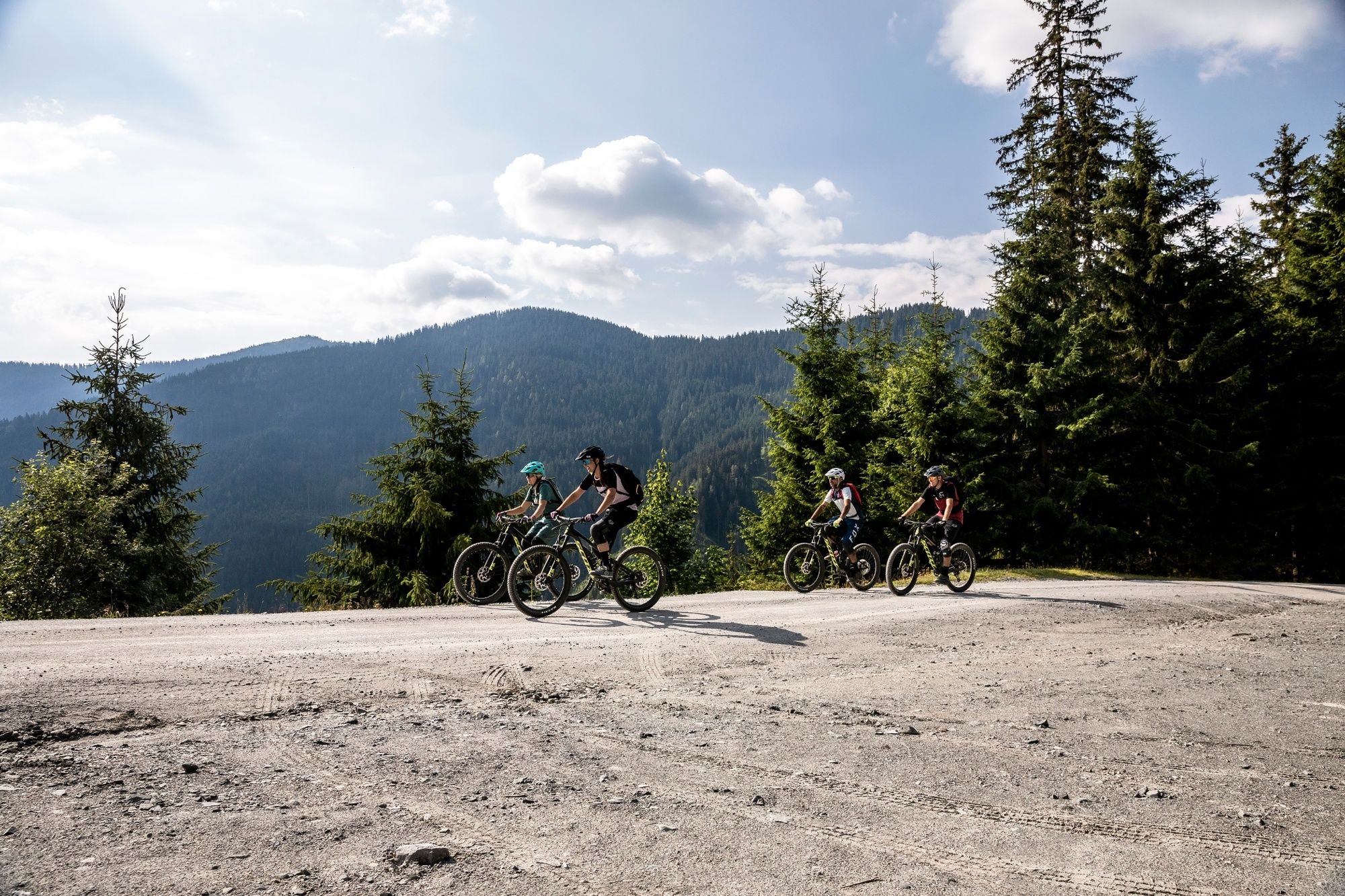
This local circuit around Leogang takes in the valleys of the Schwarzach and Schwarzleobach
- Difficoltà
-
intermedio
- Valutazione
-
- Percorso
-
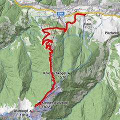
Rain2,0 kmPirzbichl3,0 kmKnappenstube26,1 kmPucherhäuslquelle27,4 kmGasthof Hüttwirt29,9 kmHütten29,9 kmMiners' Chapel of St. Anne29,9 kmAsitzbahn I30,7 km
- Punto più alto
- 1.465 m
- Destinazione
-
Leogang Asitzbahn valley station
- Profilo altimetrico
-

-

-
AutoreIl tour LE 02 | Schwarzleo - Schwarzbach / Schwarzbach - Schwarzleo è utilizzato da outdooractive.com fornito.
GPS Downloads


Info generali
Punto di ristoro
Promettente
Altri tour nelle regioni
-
Saalbach Hinterglemm
434
-
Leogang
122