Dati percorsi
14,4km
1.526
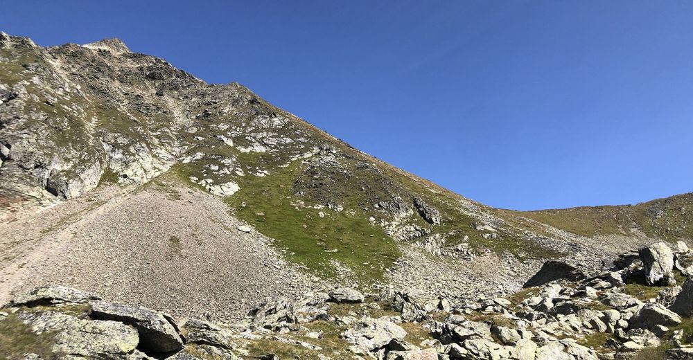
- 2.742m
1.216hm
1.216hm
05:47h
- Descrizione rapida
-
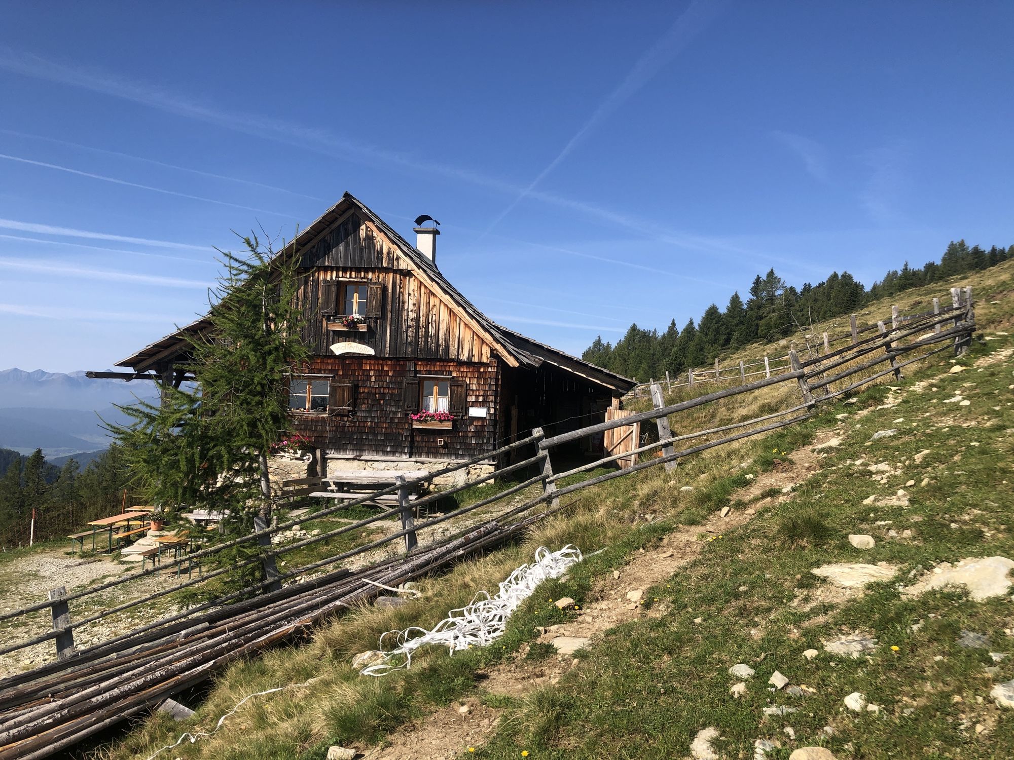
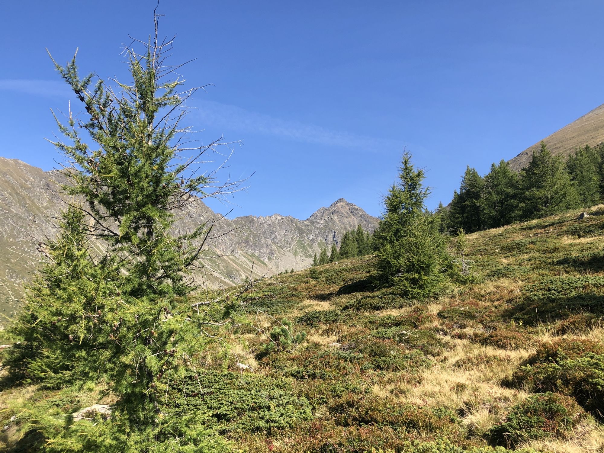
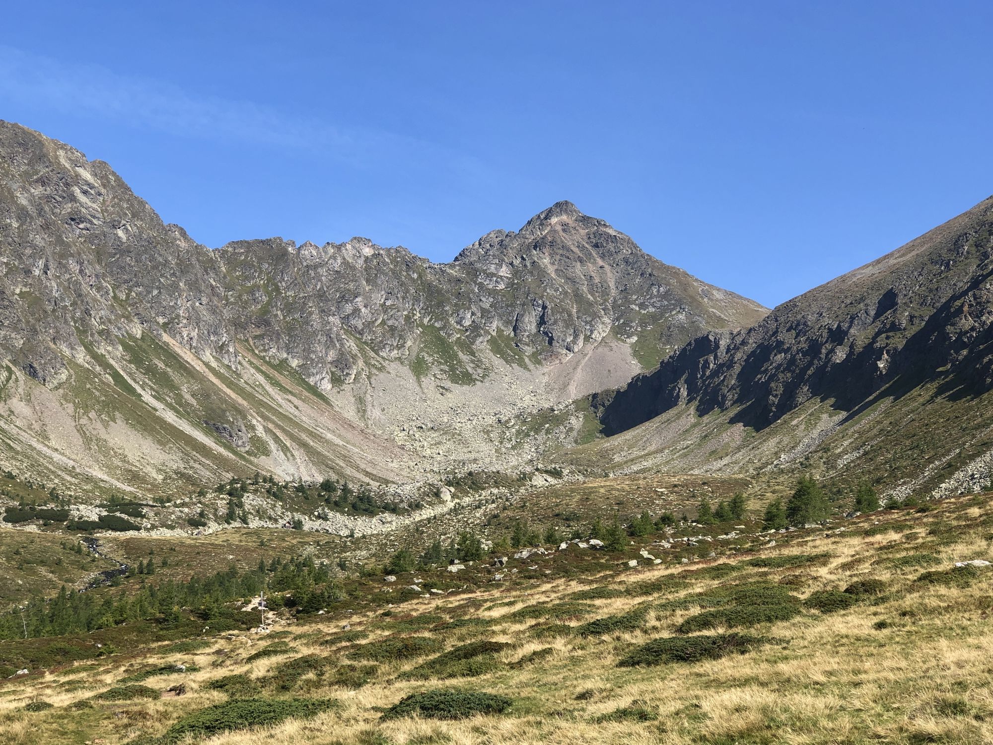
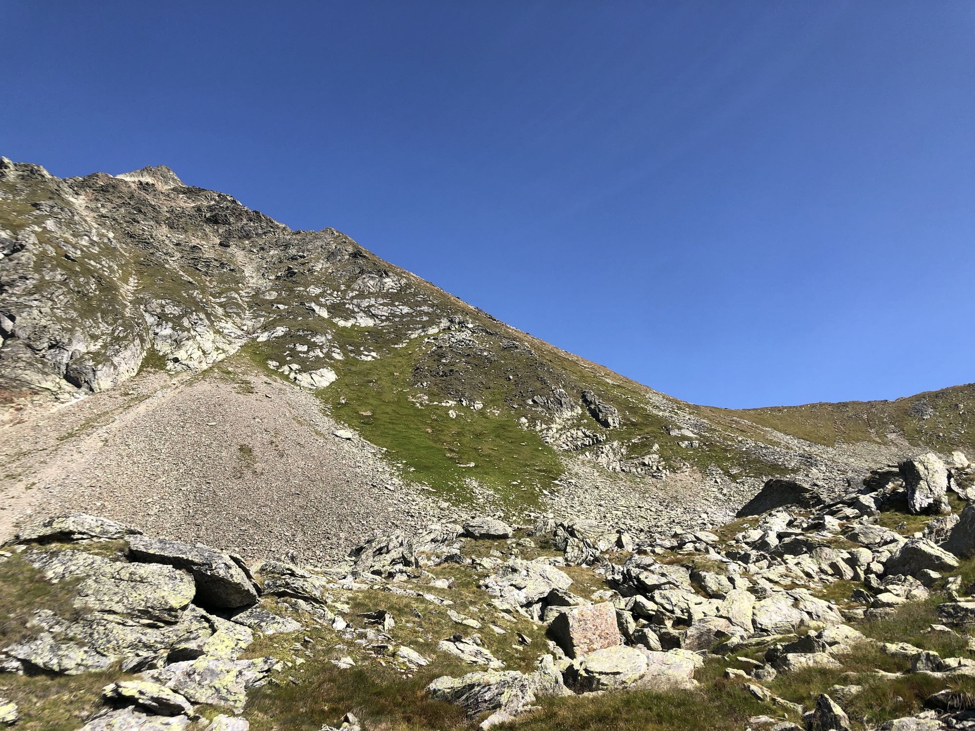
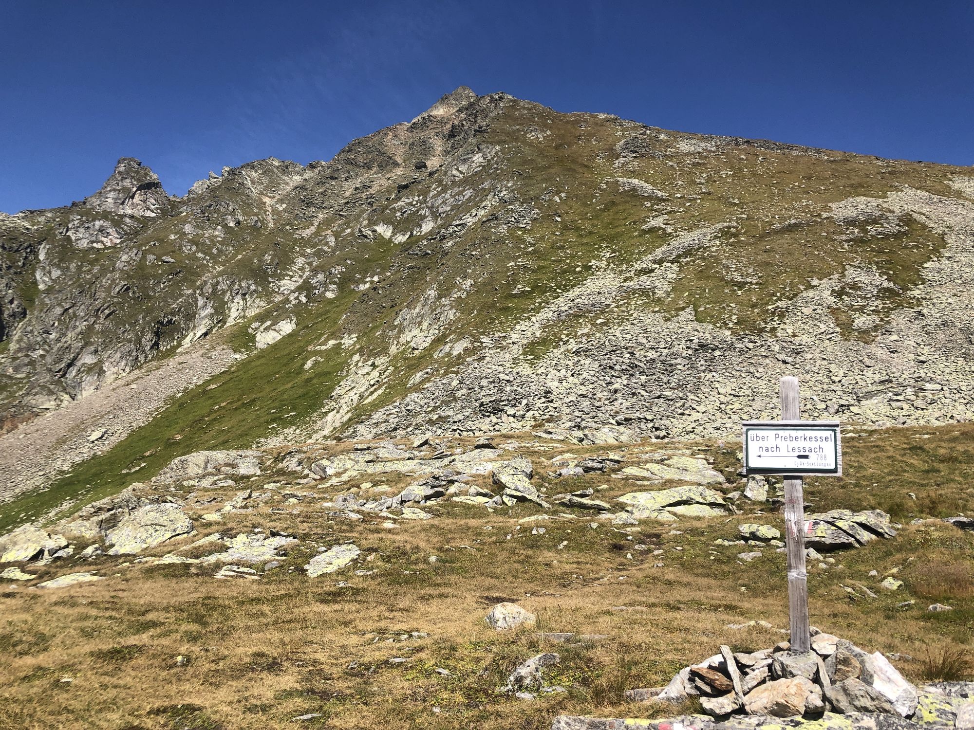
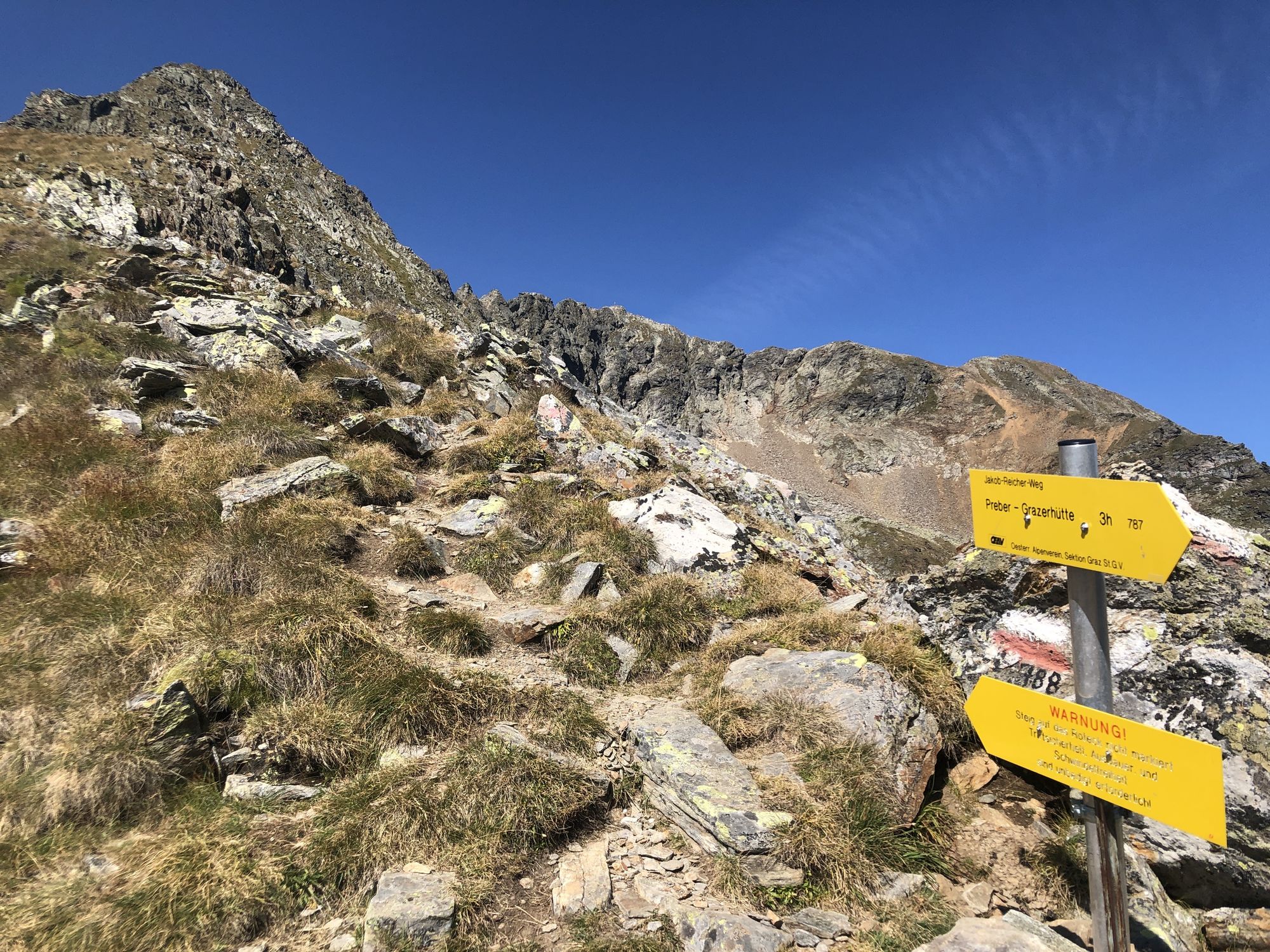
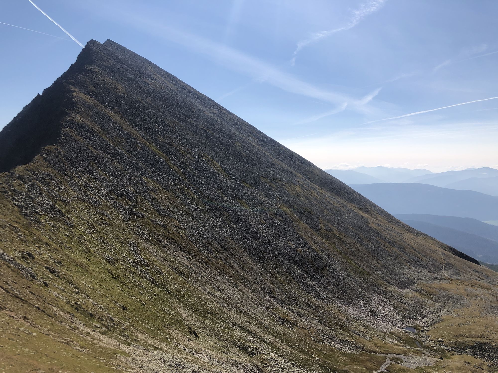
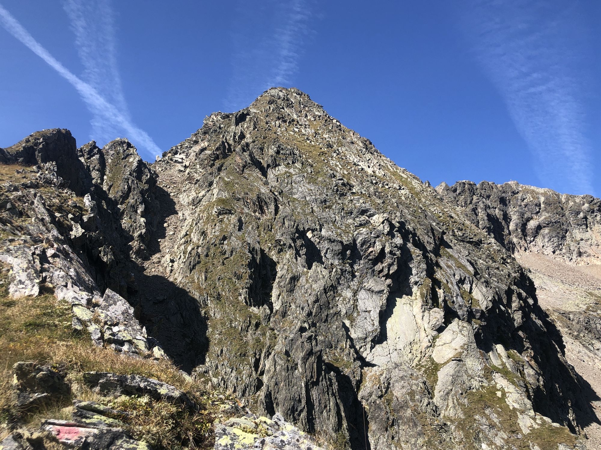
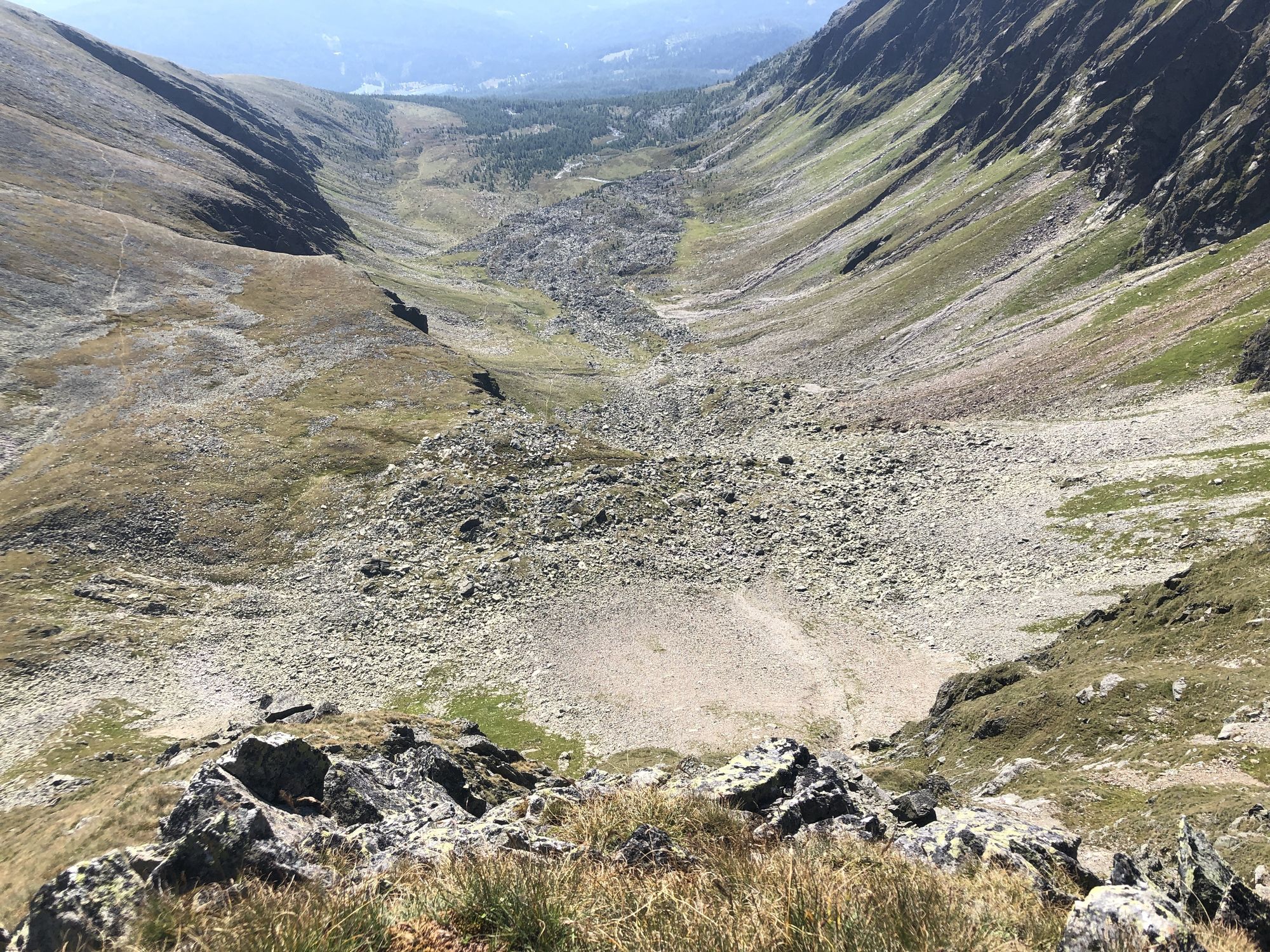
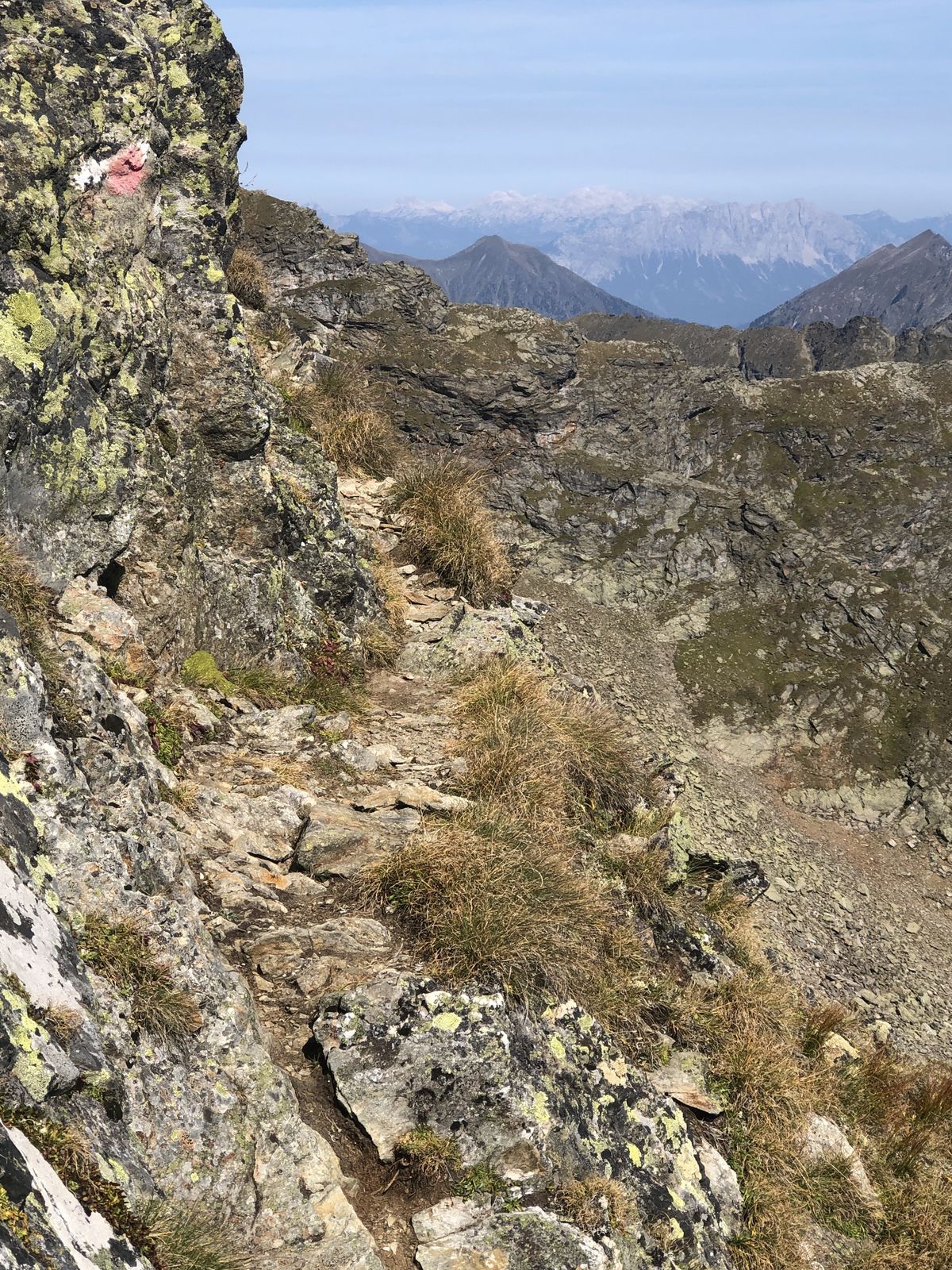
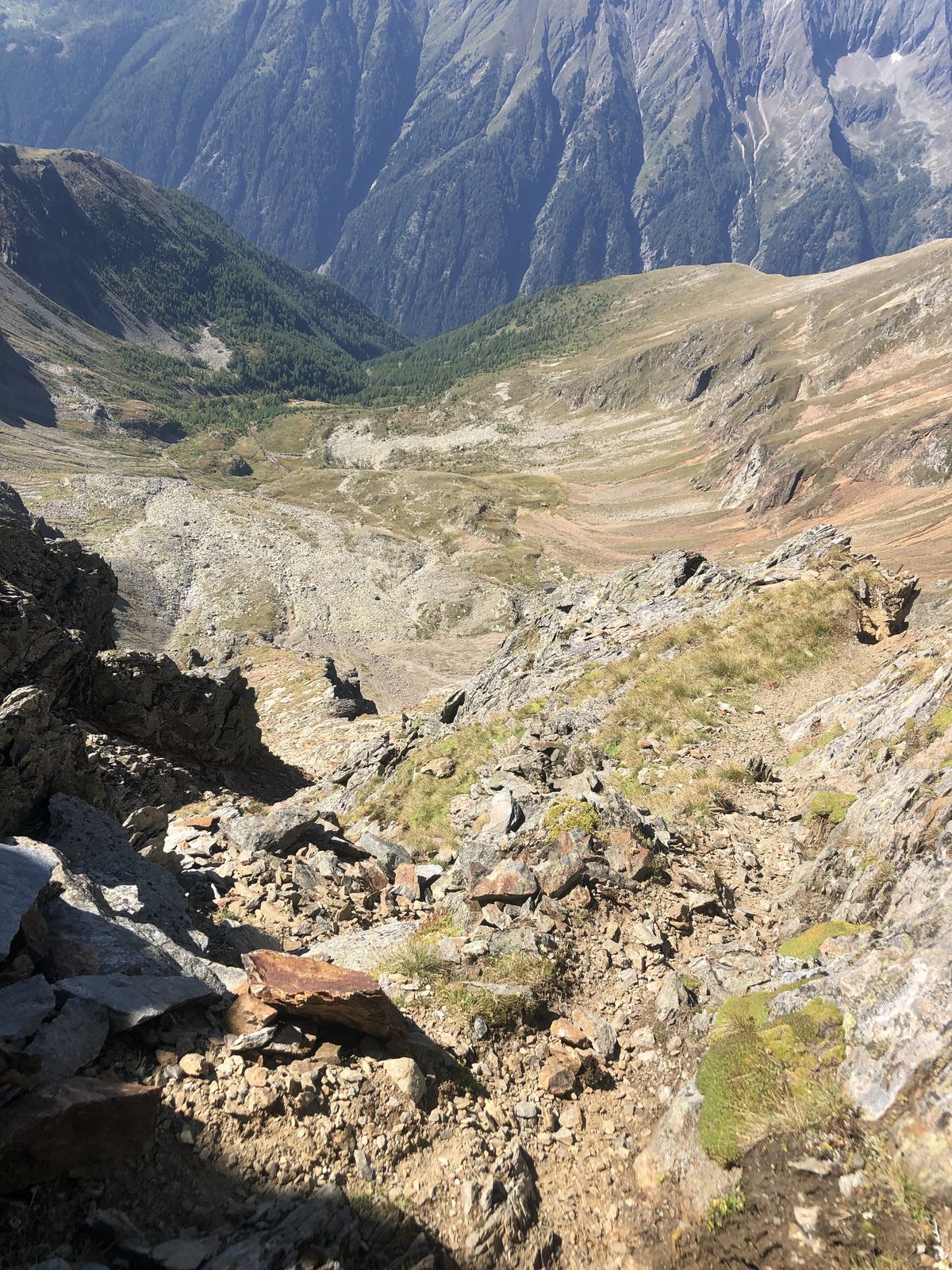
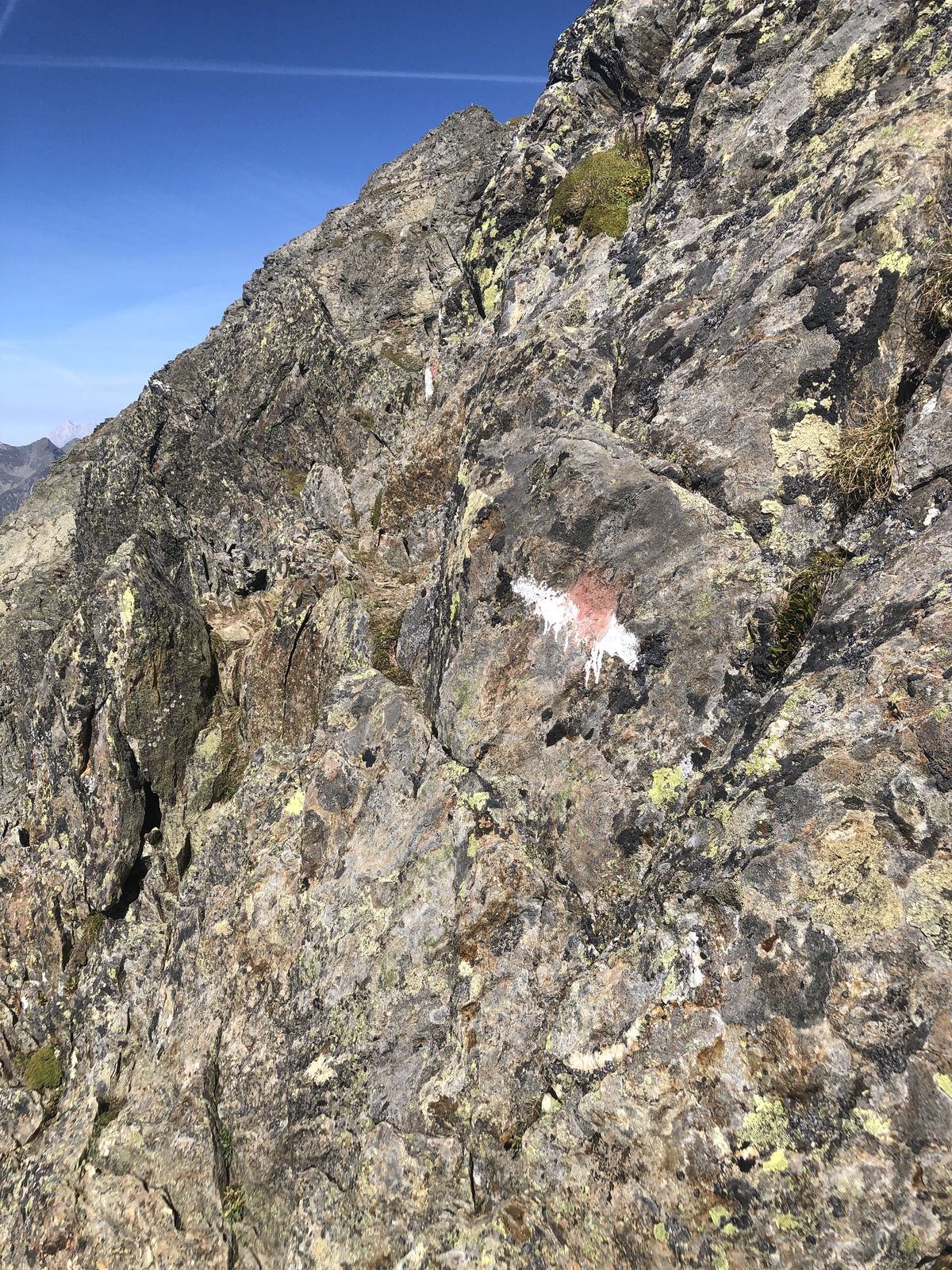
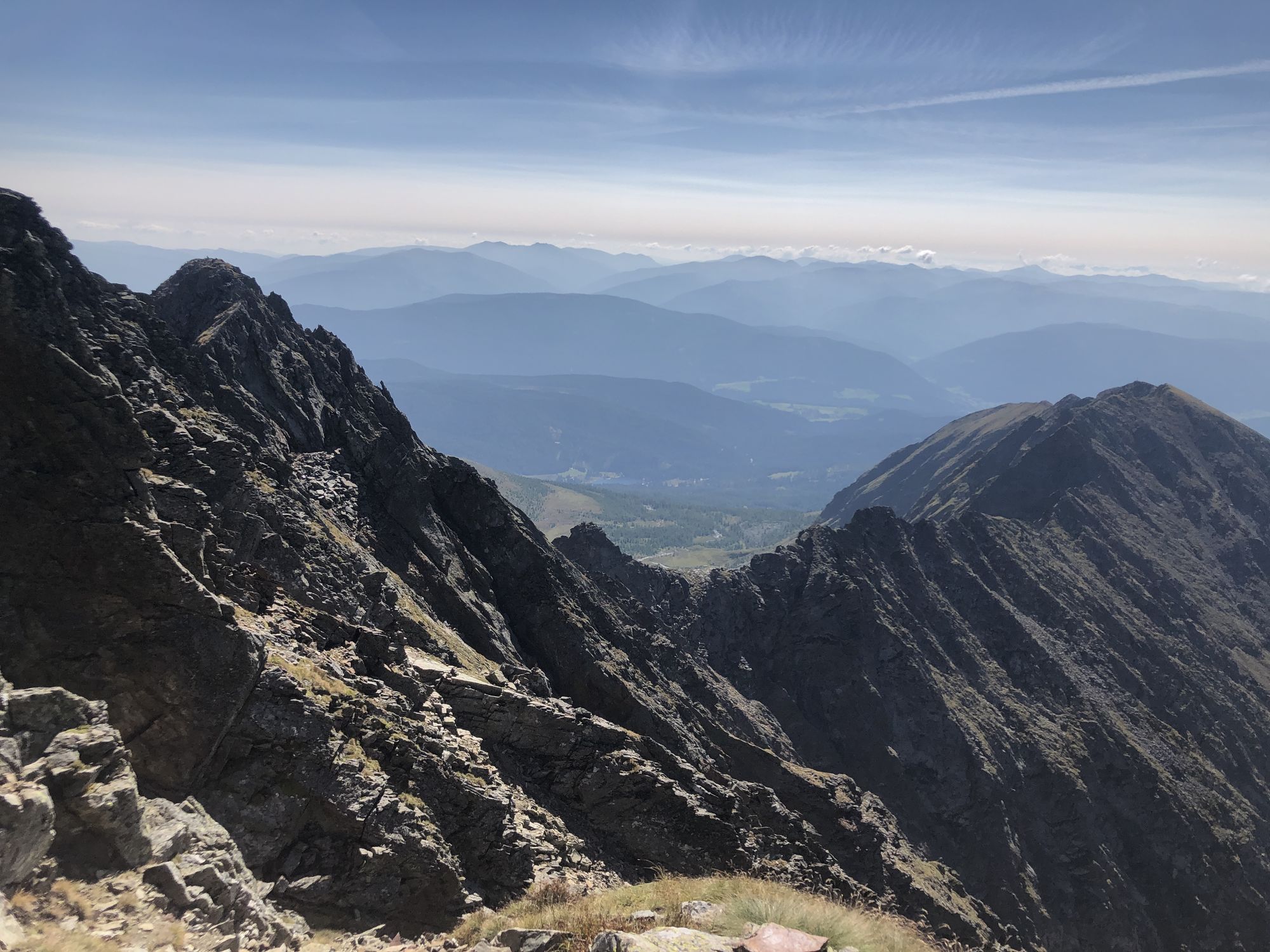
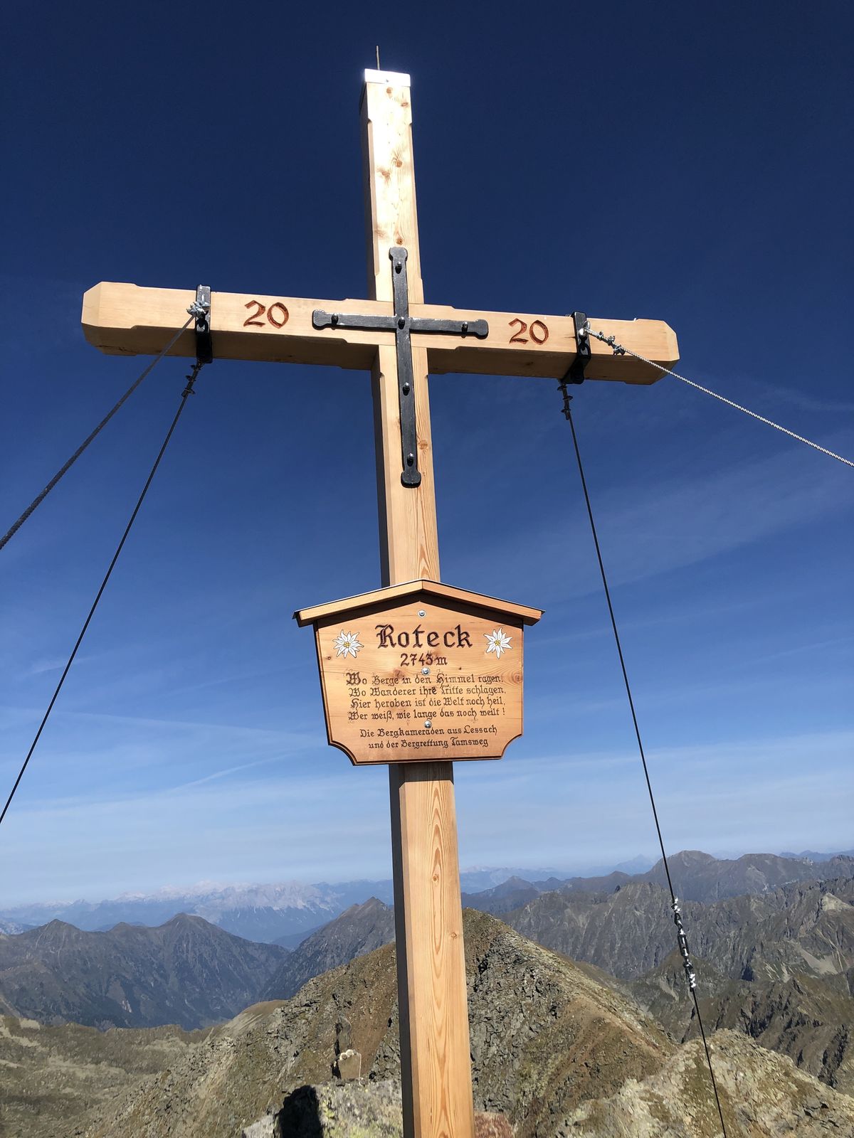
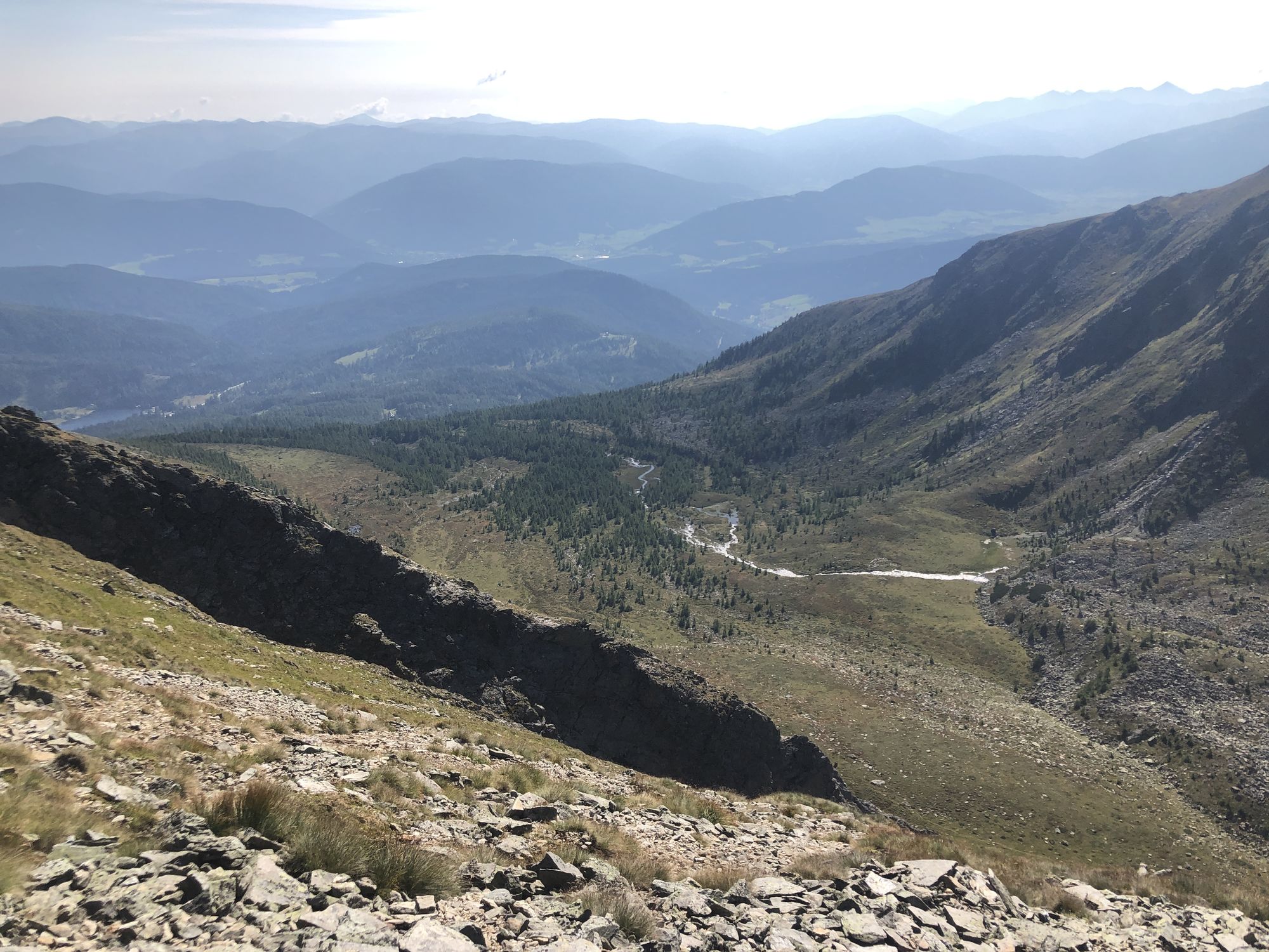
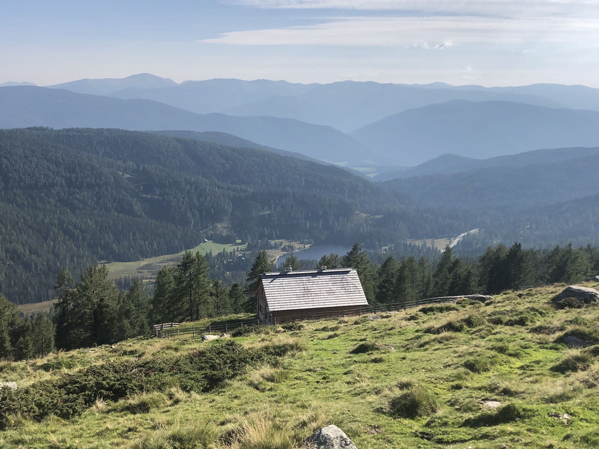
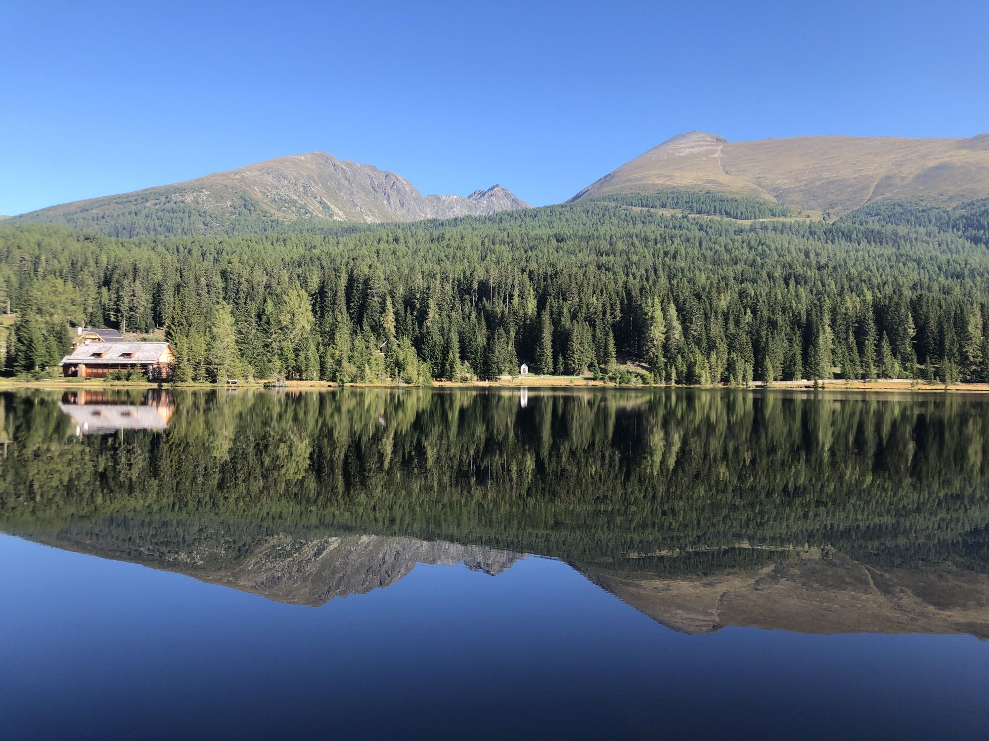
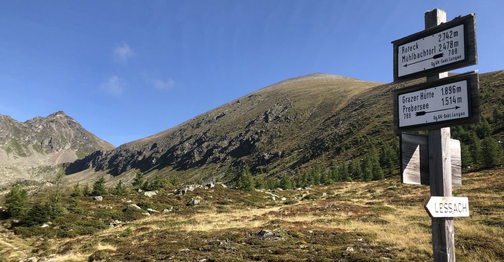
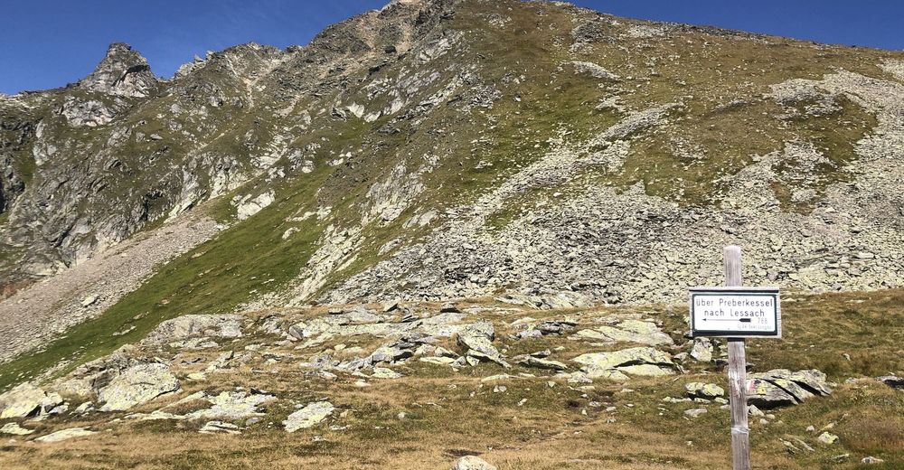
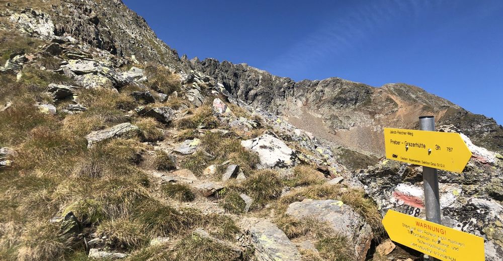
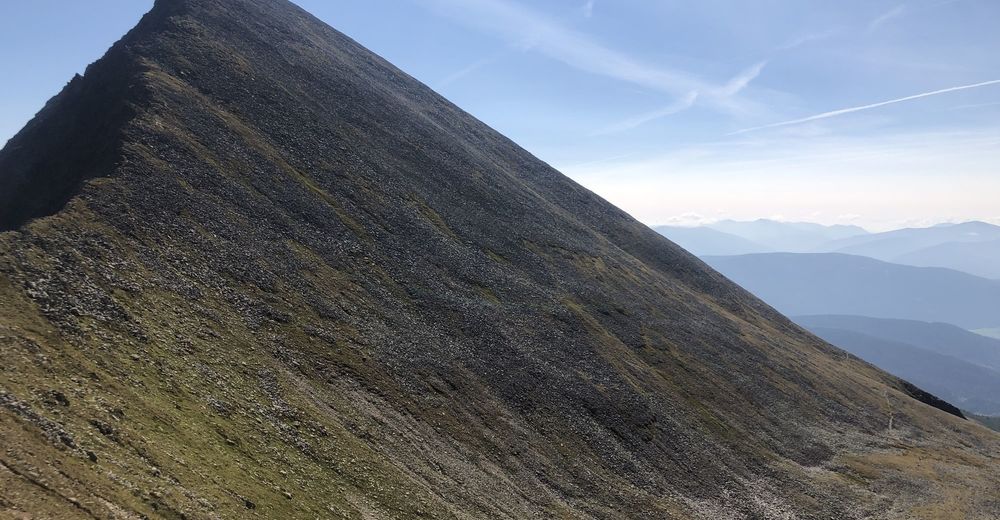
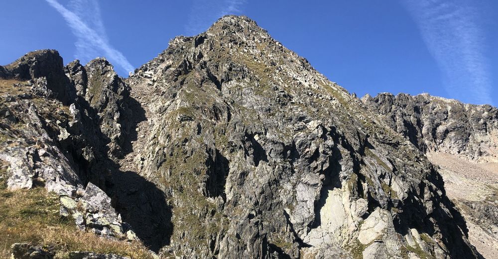
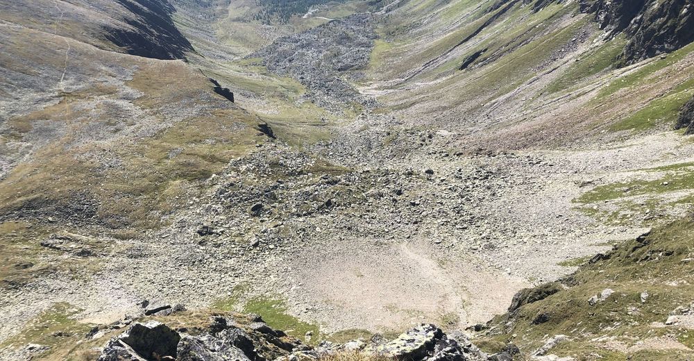
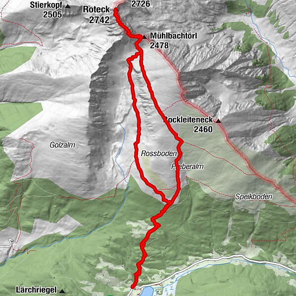
Ludlalm am Prebersee - Preberhalterhütte - Preberkessel - Mühlbachtörl - Roteck - Mühlbachtörl - Preberhalterhütte - Ludlalm am Prebersee
- Difficoltà
-
difficile
- Valutazione
-
- Punto di partenza
-
Ludlalm am Prebersee
- Percorso
-
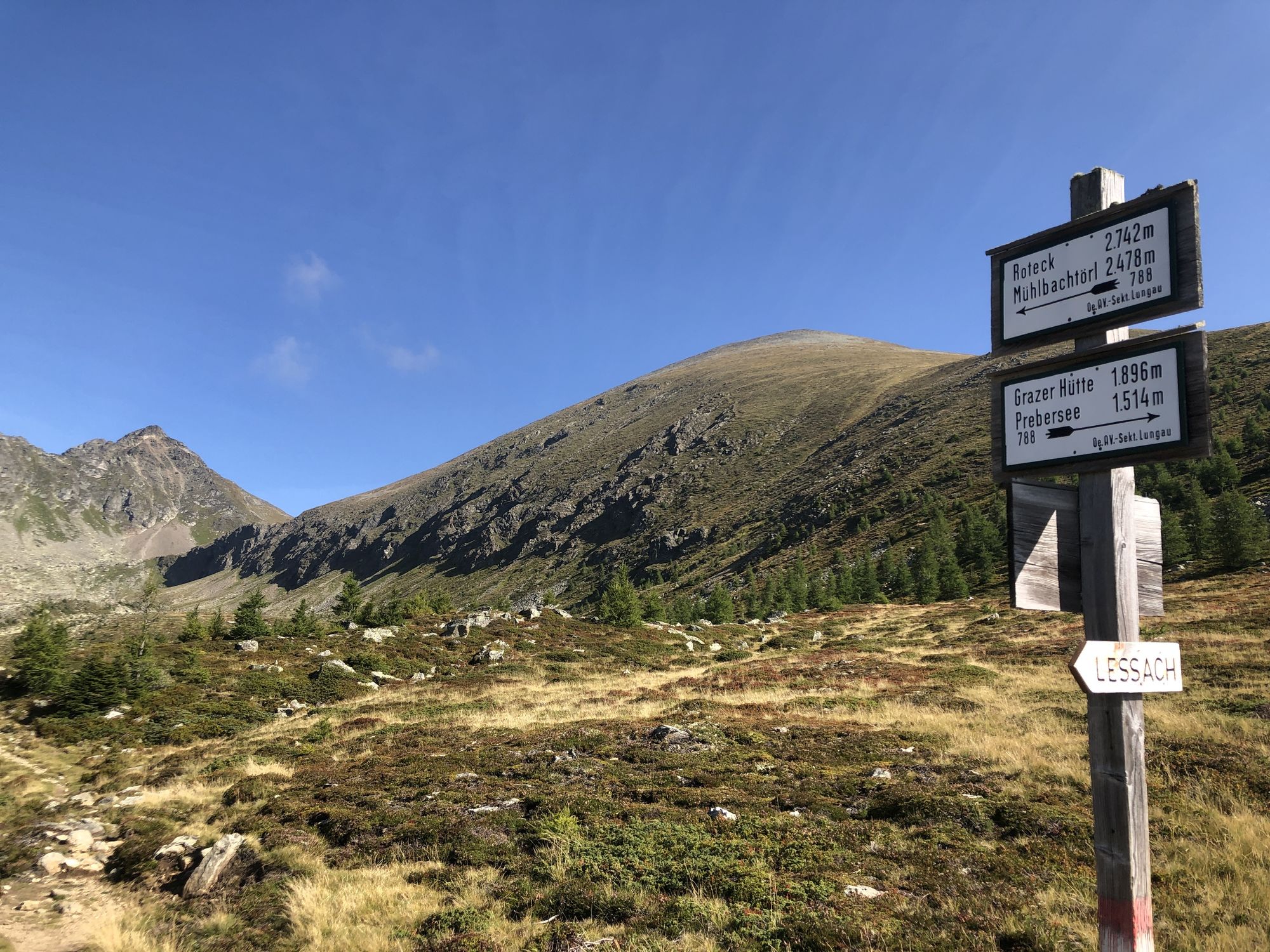
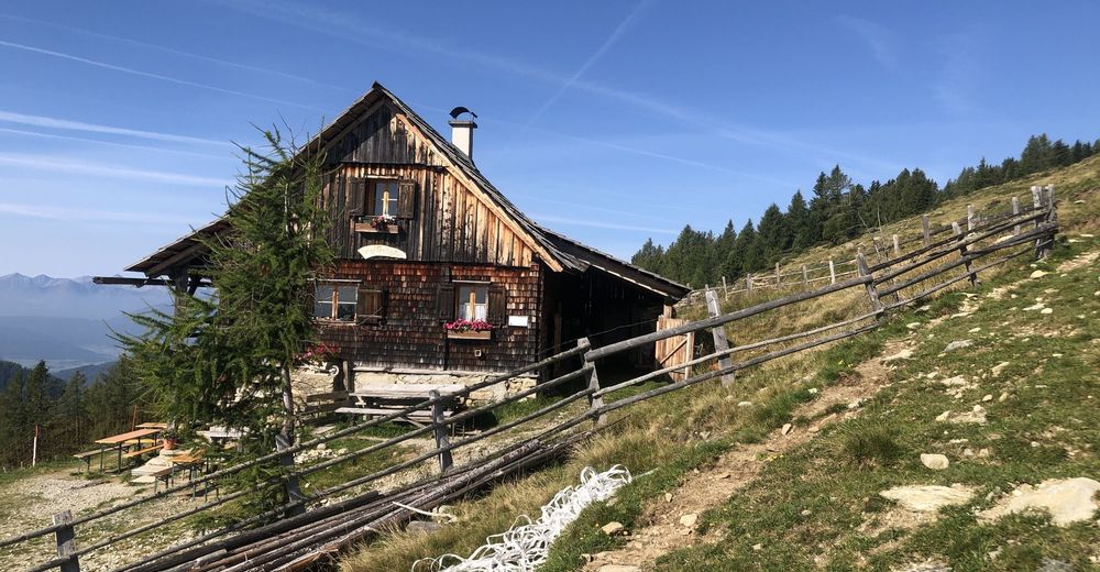
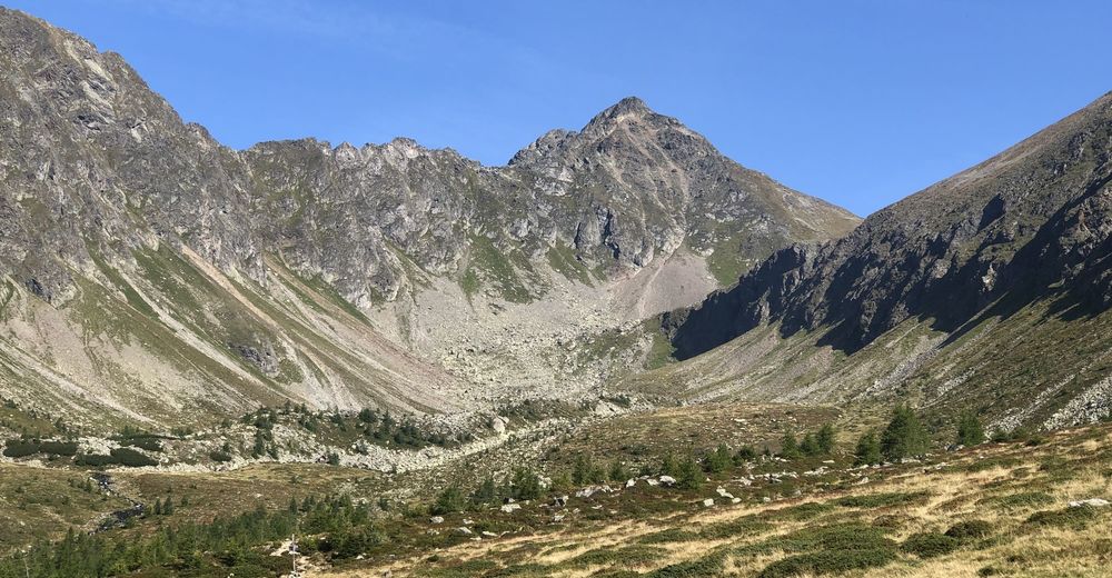
Preberhalterhütte2,1 kmRoteck (2.742 m)6,9 kmMühlbachtörl (2.478 m)7,9 kmPreberhalterhütte11,4 km
- La stagione migliore
-
genfebmaraprmaggiulugagosetottnovdic
- Punto più alto
- Roteck (2.742 m)
- Destinazione
-
Ludlalm am Prebersee
- Riposo/Ritiro
-
Preberhalterhütte