© Tourismusverband Großarltal - TVB Großarltal

© Tourismusverband Großarltal - TVB Großarltal

© Tourismusverband Großarltal - TVB Großarltal

© Tourismusverband Großarltal - TVB Großarltal

© Tourismusverband Großarltal - TVB Großarltal

© Tourismusverband Großarltal - TVB Großarltal

© Tourismusverband Großarltal - TVB Großarltal

© Tourismusverband Großarltal - TVB Großarltal

- Descrizione rapida
-
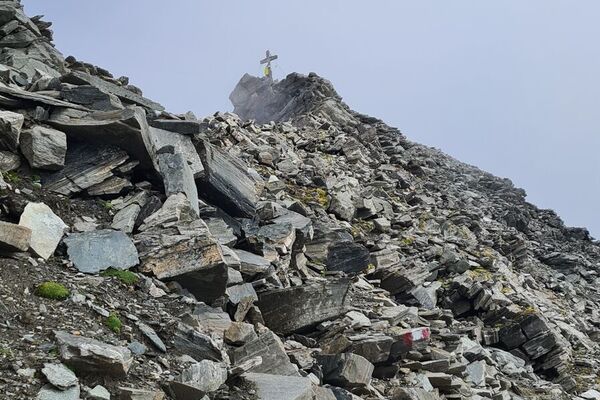
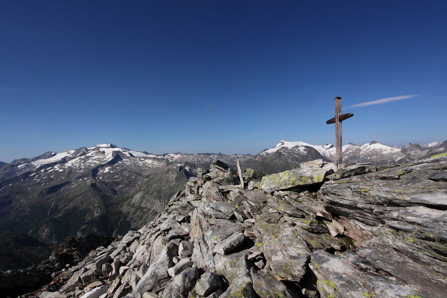
Very demanding mountain tour to the Weinschnabel, where you pass extraordinary landscapes.
- Difficoltà
-
difficile
- Valutazione
-
- Percorso
-
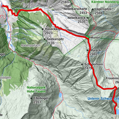
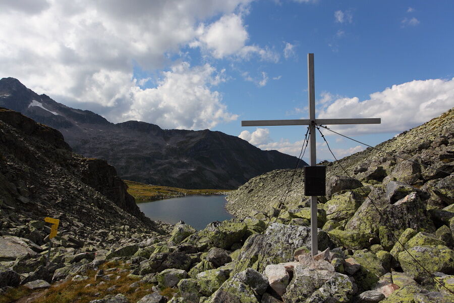
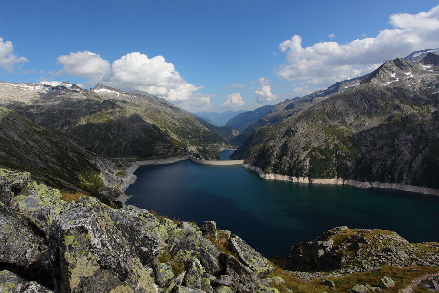
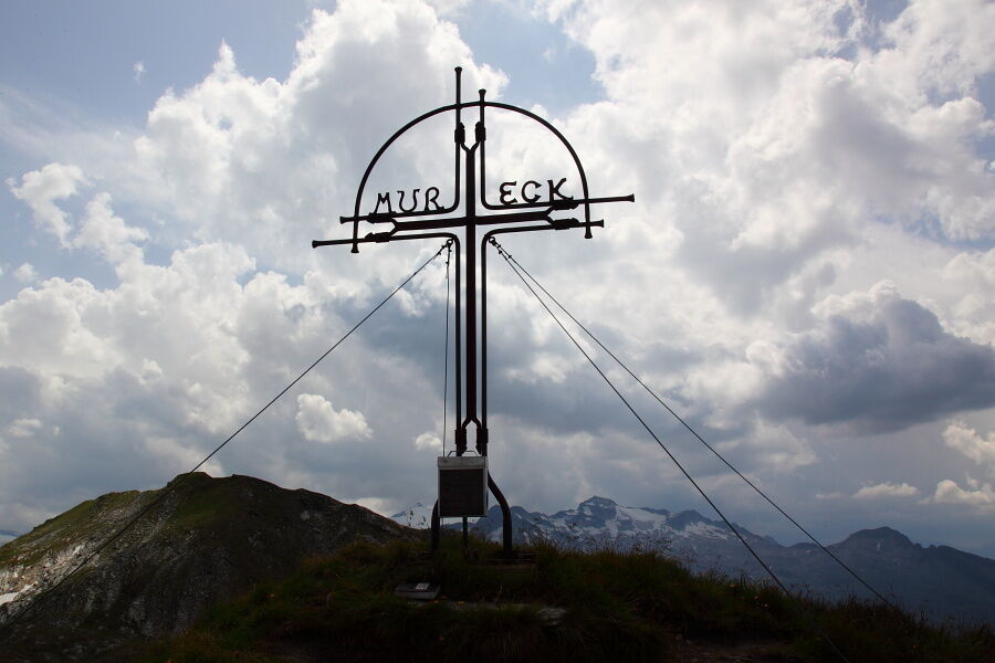
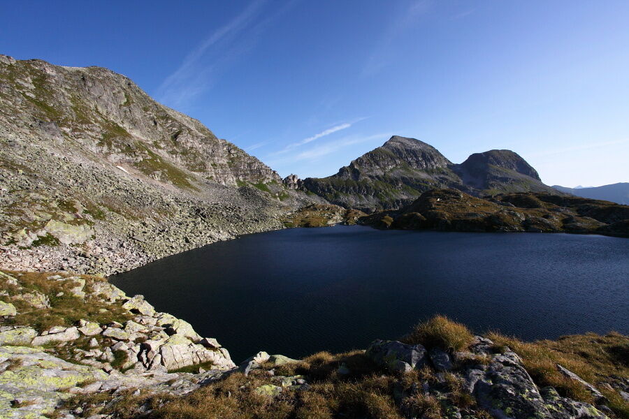
Arlscharte (2.252 m)8,6 kmMarchkarscharte (2.380 m)10,4 kmWeinschnabel (2.754 m)11,9 kmKreealm Bichlhütte20,3 kmKreealm20,4 kmKreealm-Wasserfall22,2 km
- La stagione migliore
-
genfebmaraprmaggiulugagosetottnovdic
- Punto più alto
- 2.744 m
- Destinazione
-
Parking lot Hüttschlag valley end
- Profilo altimetrico
-


- Autore
-
Il tour Hüttschlag: Weinschnabel è utilizzato da outdooractive.com fornito.
GPS Downloads


Info generali
Punto di ristoro
Suggerimento
Promettente
Altri tour nelle regioni