- Descrizione rapida
-
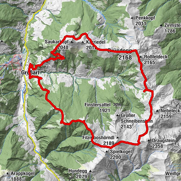
2-day tour around the Ellmautal, the largest side valley of Grossarltal.
- Difficoltà
-
intermedio
- Valutazione
-
- Percorso
-
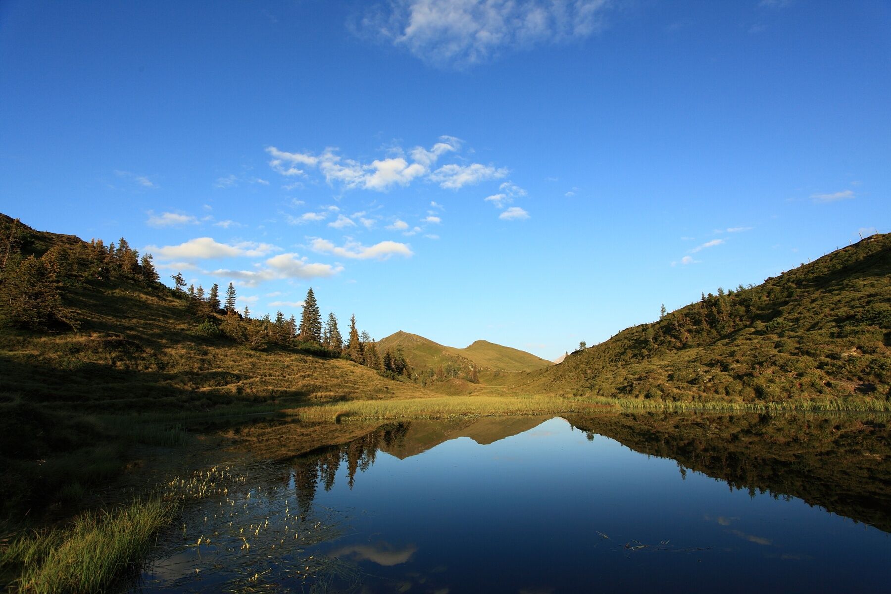
GroßarlHertas Rast1,1 kmGerstreitalm3,9 kmSaukaralm6,3 kmGründegg (2.168 m)11,1 kmKlaussattel13,1 kmLoosbühelalm (Klausalm)13,9 kmFilzmooshöhe (2.103 m)18,6 kmRemsteinkopf (1.946 m)22,5 kmBichlalm24,2 kmPfarrkirche Großarl28,9 kmGroßarl29,0 km
- La stagione migliore
-
genfebmaraprmaggiulugagosetottnovdic
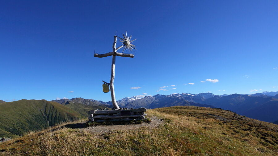
- Punto più alto
- 2.132 m
- Destinazione
-
Grossarl village center
- Profilo altimetrico
-


- Autore
-
Il tour Grossarl: 2-days-hiking-tour through the Ellmautal è utilizzato da outdooractive.com fornito.
GPS Downloads


Info generali
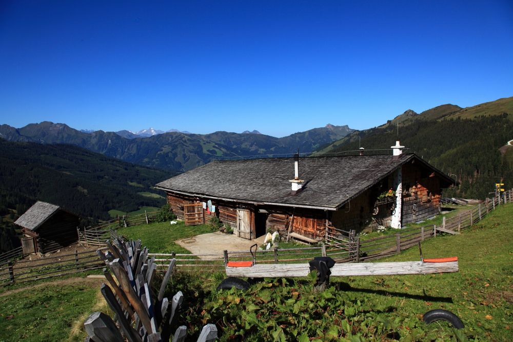
Punto di ristoro
Suggerimento
Promettente
Altri tour nelle regioni