Hüttschlag: 2-days-hiking-tour from Hundegg to the Tappenkarsee


- Descrizione rapida
-
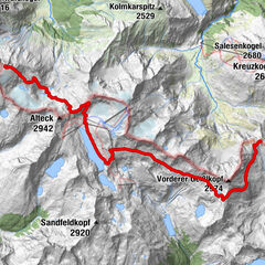
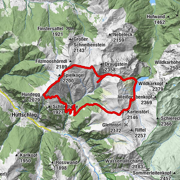
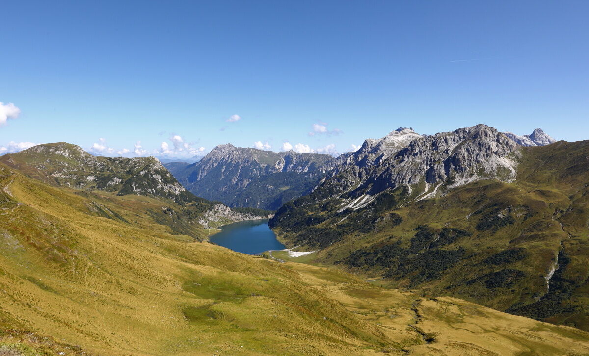
2-day-round trip from Hundegg to the Tappenkarsee, the largest mountain lake in the Eastern Alps.
- Difficoltà
-
intermedio
- Valutazione
-
- Percorso
-
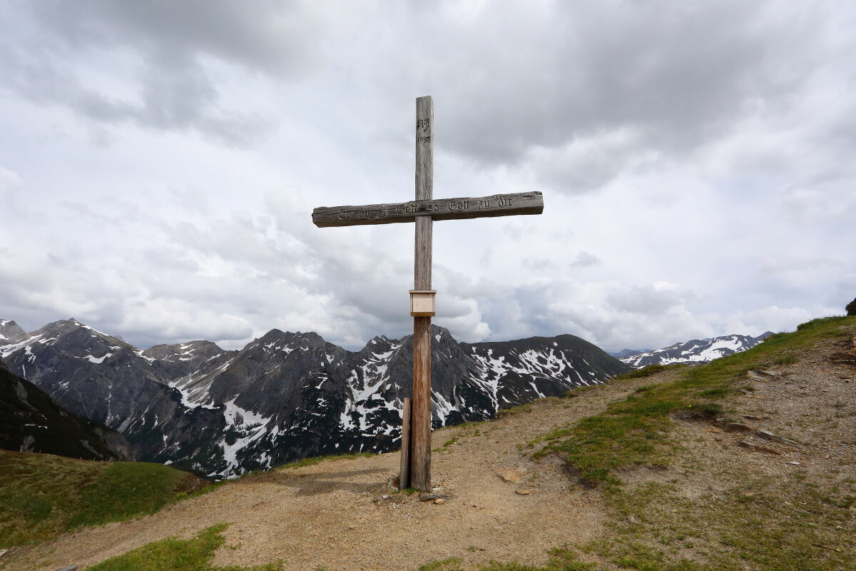
Hundegg (2.079 m)3,2 kmFilzmooshöhe (2.103 m)6,4 kmDraugsteinalm-Steinmannhütte8,7 kmDraugsteinalmen8,7 kmTappenkarsee Alm11,6 kmTappenkarseehütte12,7 kmKarteistörl (2.146 m)14,1 km
- La stagione migliore
-
genfebmaraprmaggiulugagosetottnovdic
- Punto più alto
- 2.128 m
- Destinazione
-
Hüttschlag - Hallmoosalm
- Profilo altimetrico
-

- Autore
-
Il tour Hüttschlag: 2-days-hiking-tour from Hundegg to the Tappenkarsee è utilizzato da outdooractive.com fornito.
GPS Downloads


Info generali
Punto di ristoro
Suggerimento
Fauna
Promettente
Altri tour nelle regioni
-
Katschberg Lieser-Maltatal
2574
-
Großarltal
2171
-
Hüttschlag
852