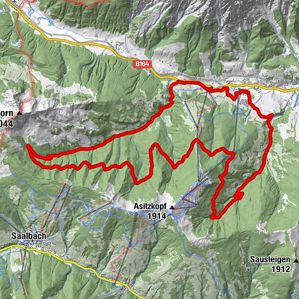
Dati percorsi
31,53km
824
- 1.474m
1.150hm
1.150hm
03:00h
- Descrizione rapida
-
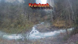
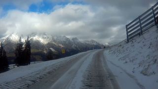
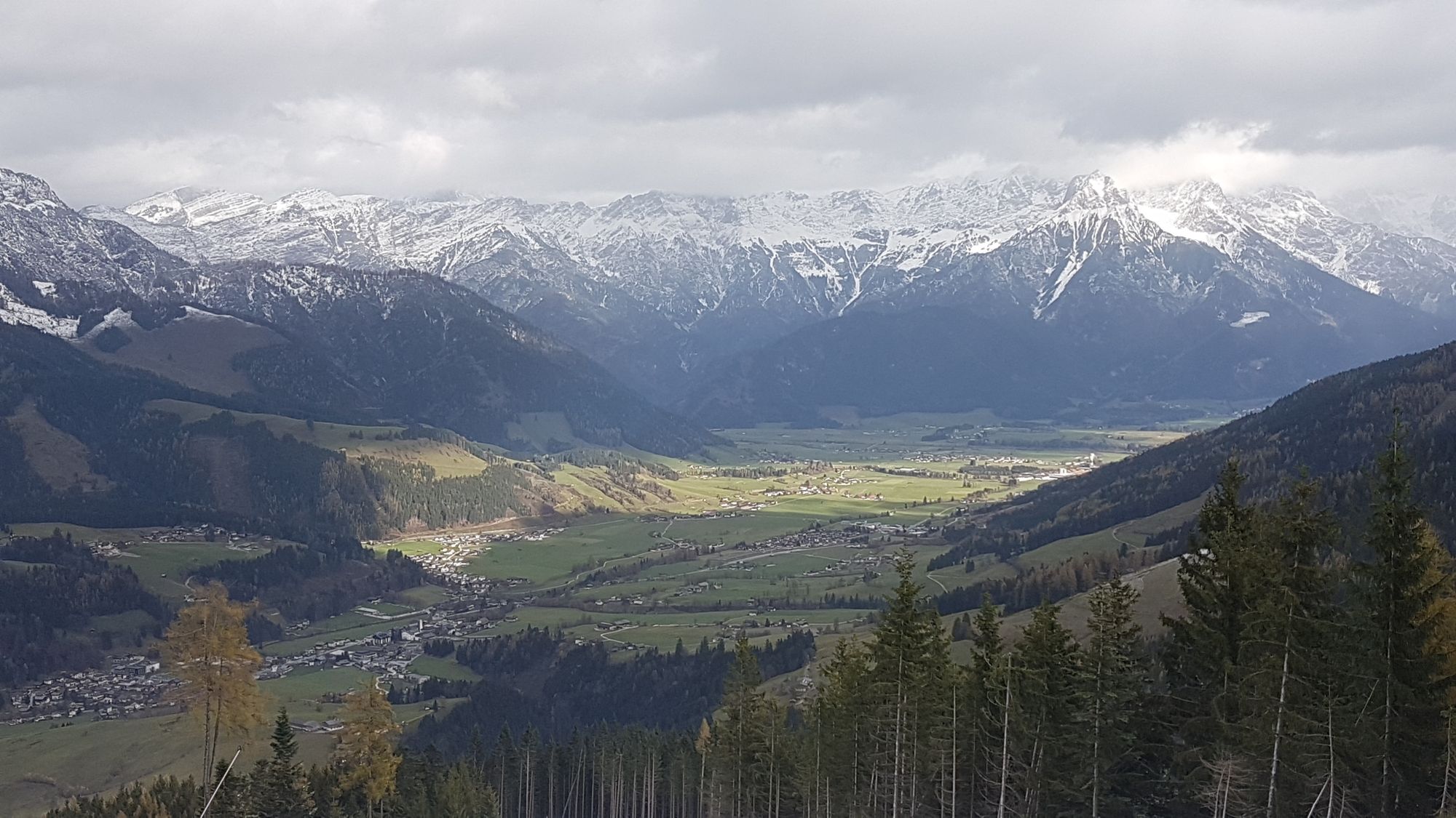
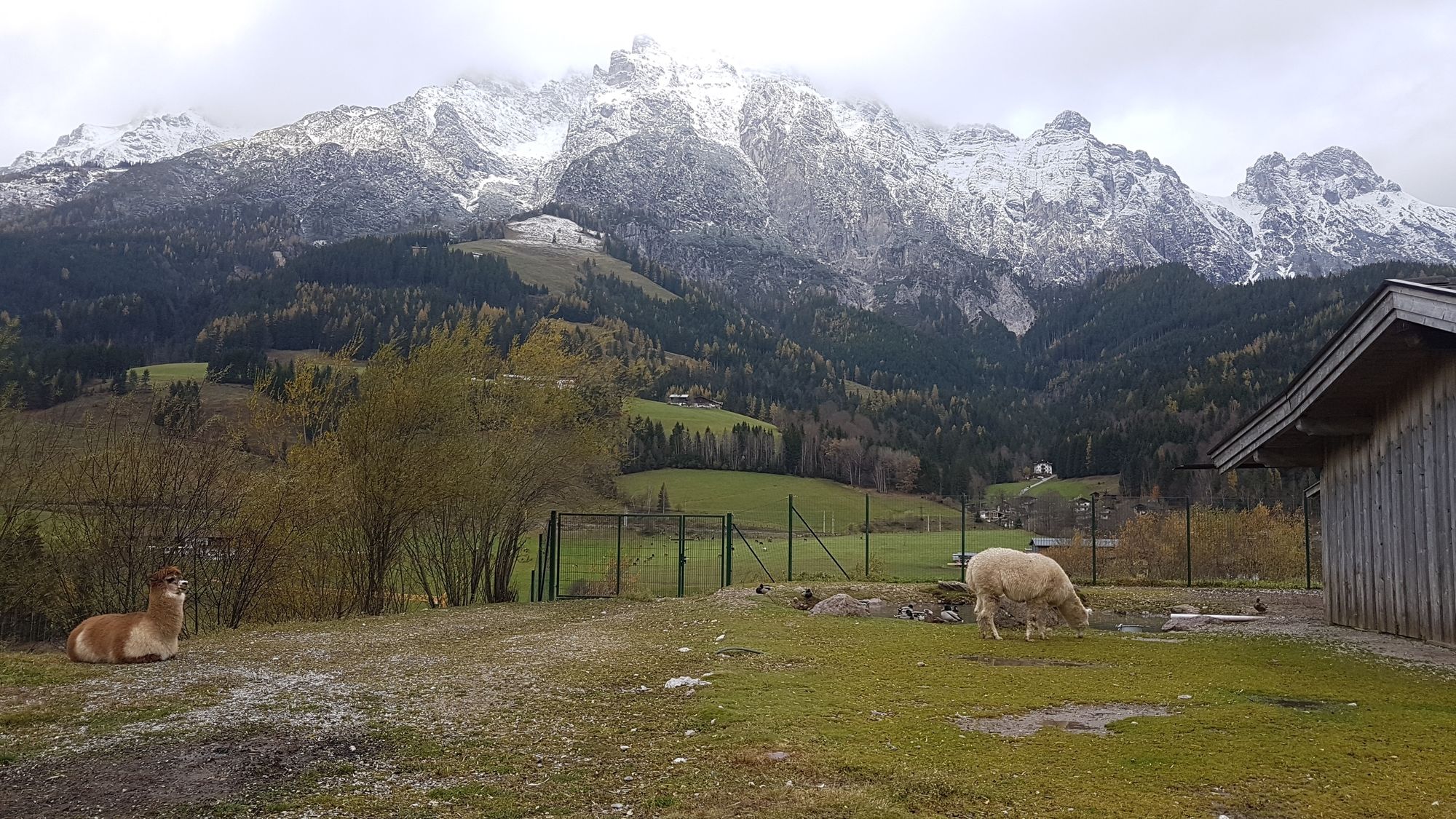
Die klassische Schwarzloe-Tour bei leicht winterlichen Verhältnissen.
- Difficoltà
-
facile
- Valutazione
-
- Punto di partenza
-
Asitz-Bergbahn Talstation
- Percorso
-
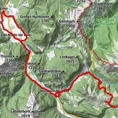
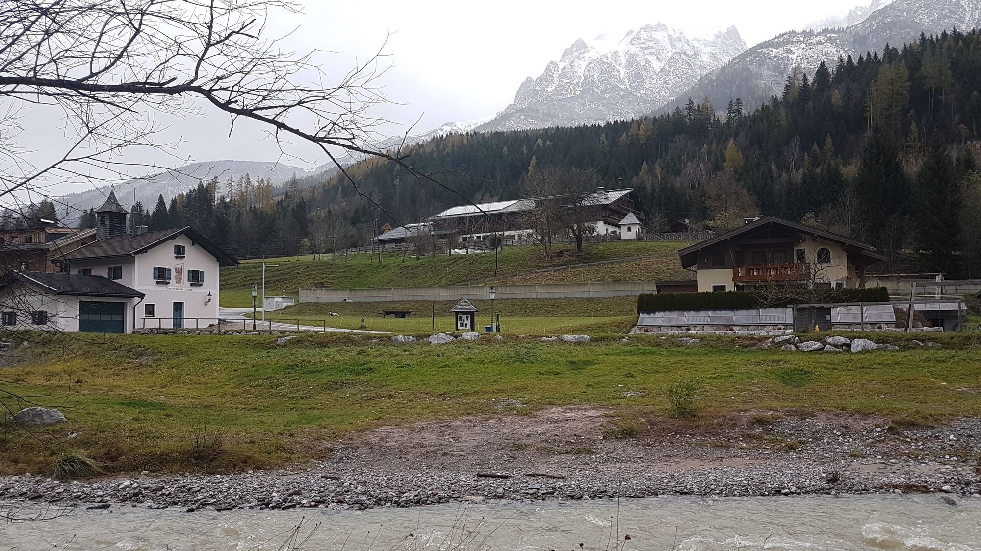
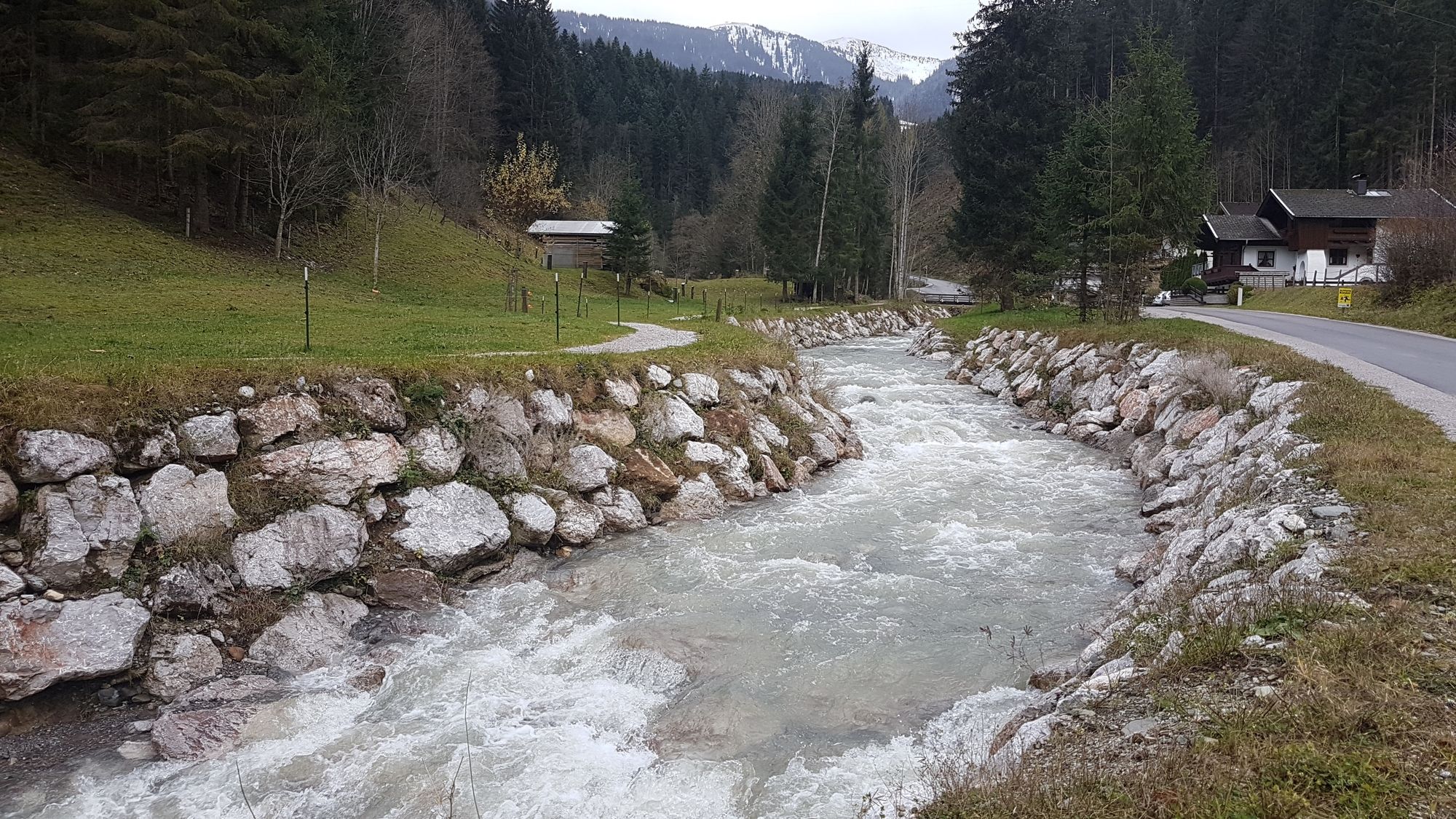
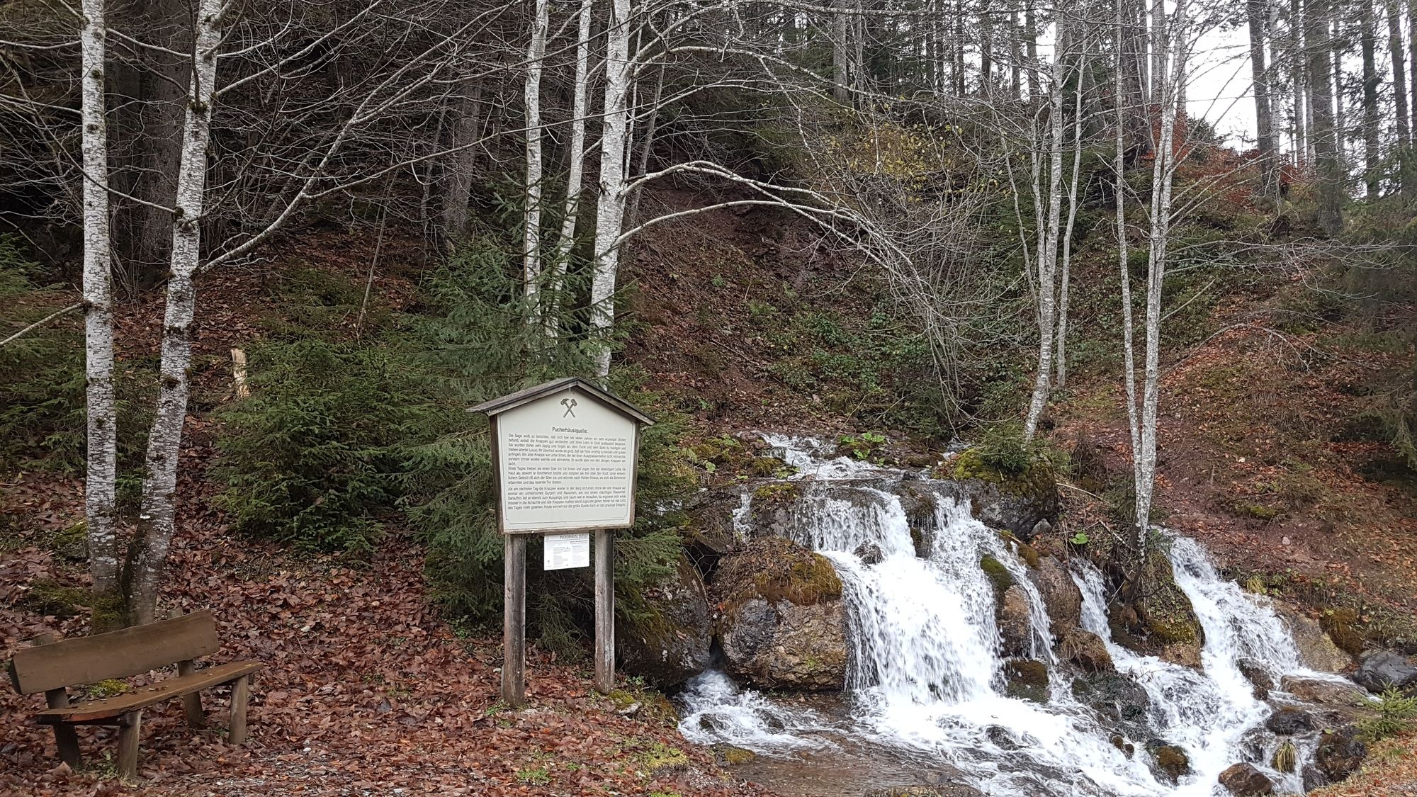
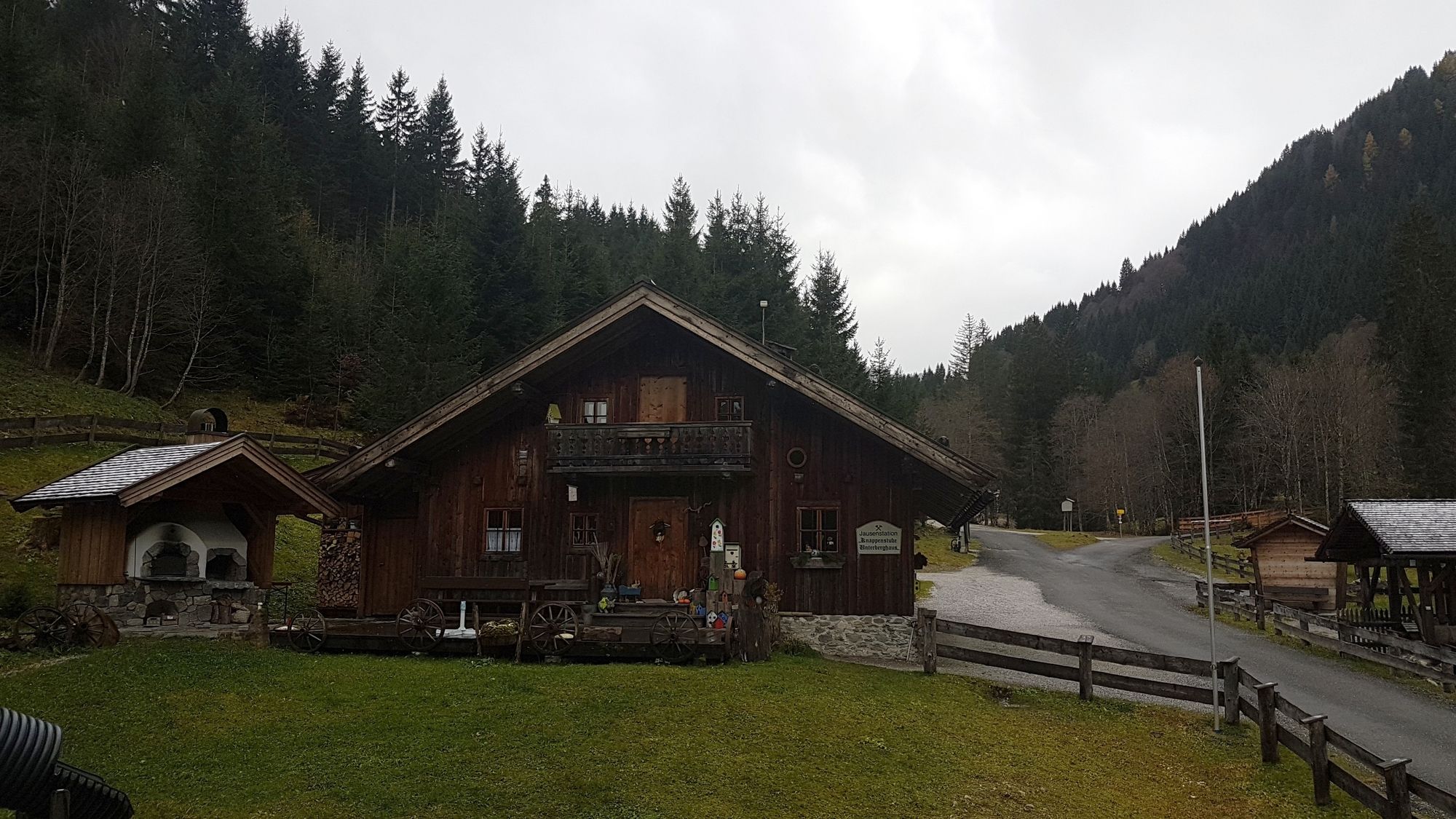
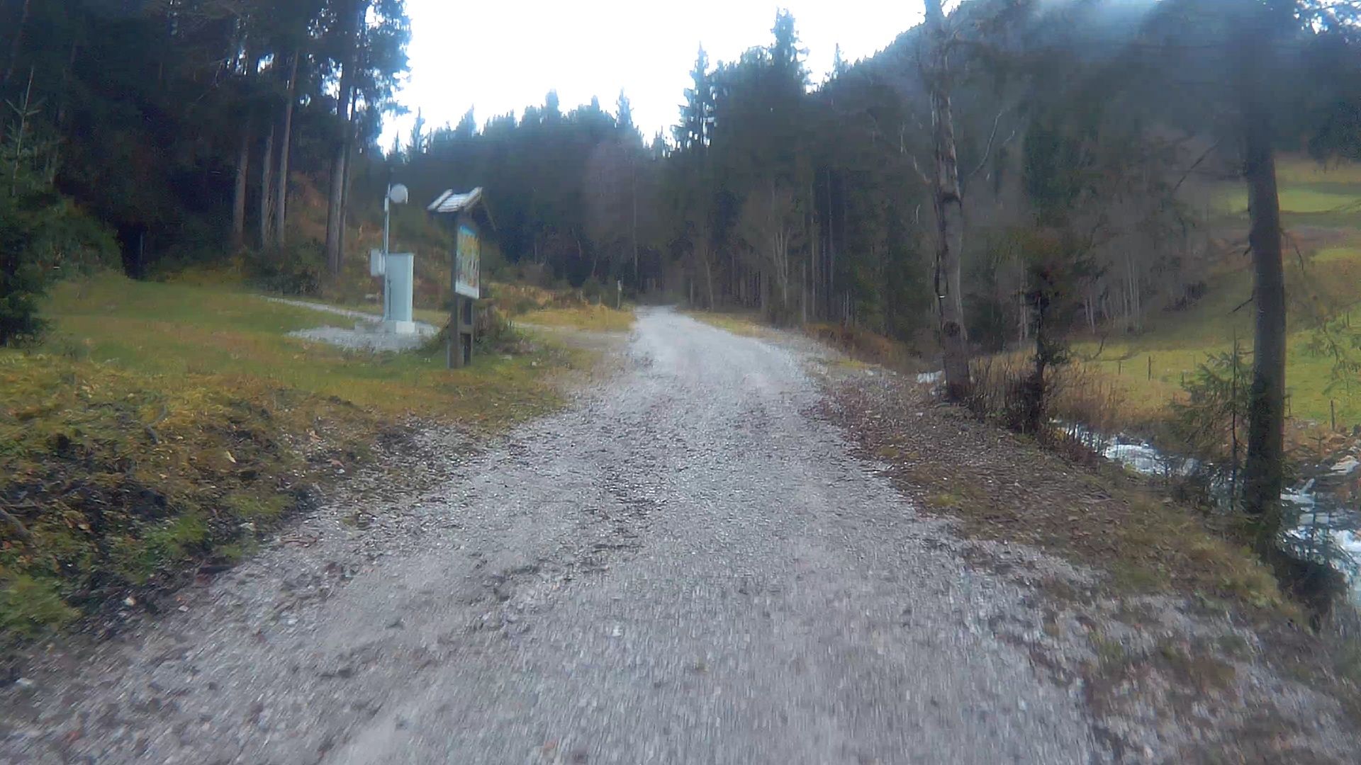
Gasthof Hüttwirt0,5 kmMiners' Chapel of St. Anne0,7 kmHütten0,7 kmPucherhäuslquelle3,2 kmKnappenstube4,3 kmPirzbichl27,9 kmRain28,9 kmKraller Alm29,7 km
- La stagione migliore
-
genfebmaraprmaggiulugagosetottnovdic
- Punto più alto
- Asitz (1.474 m)
- Destinazione
-
Hochweg in der Nähe der Asitzbahn-Mittelstation (Stöcklalm)
- Riposo/Ritiro
-
Knappenstube, Stöcklam mit Gegenanstieg
- Informazioni
-
Mountainbike im Salzburger Land von Thomas Rögner, Verlag Delius Klasing, Tour 12
- Videos
-
 06:016 years ago
 09:036 years ago
 06:256 years ago
GPS Downloads


Percorsi
Asfalto
(9,5km/30%)
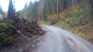
Ghiaia
(22km/70%)
Foresta
Vie di montagna
Singletrail
Trial
Traffico
Altri tour nelle regioni
-
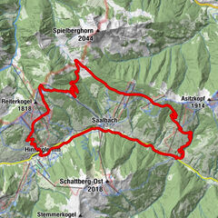
Saalbach Hinterglemm
27
-
Leogang
17