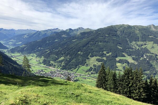
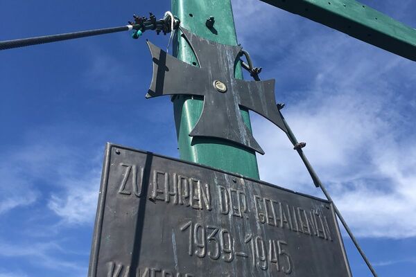
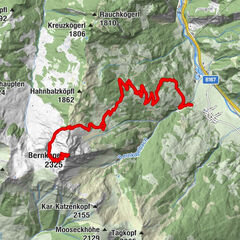
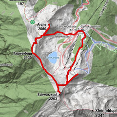
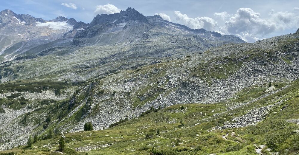
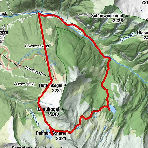
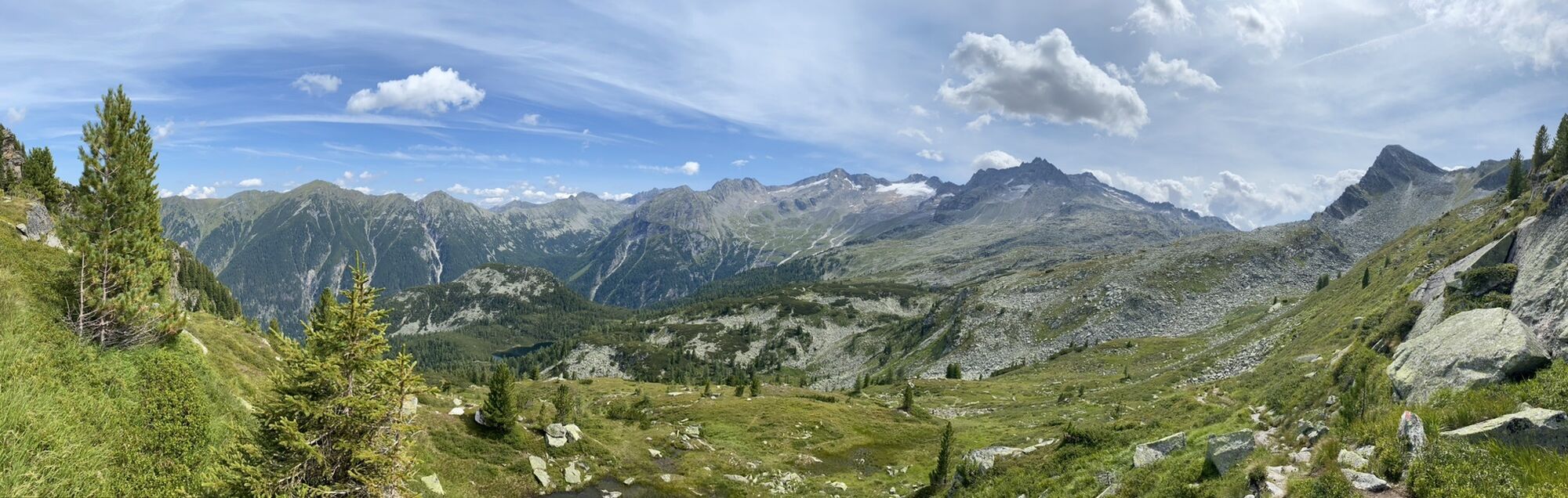
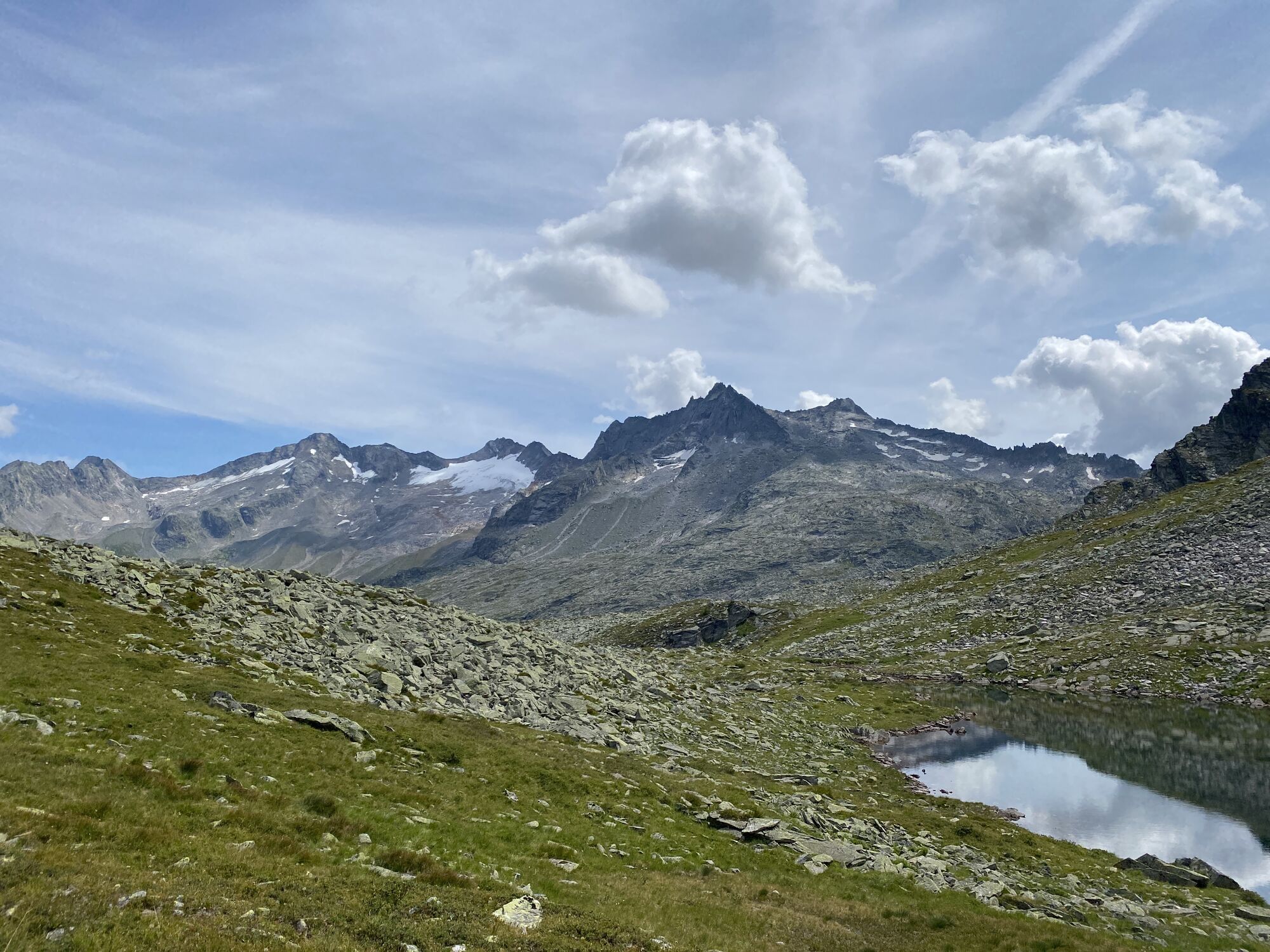
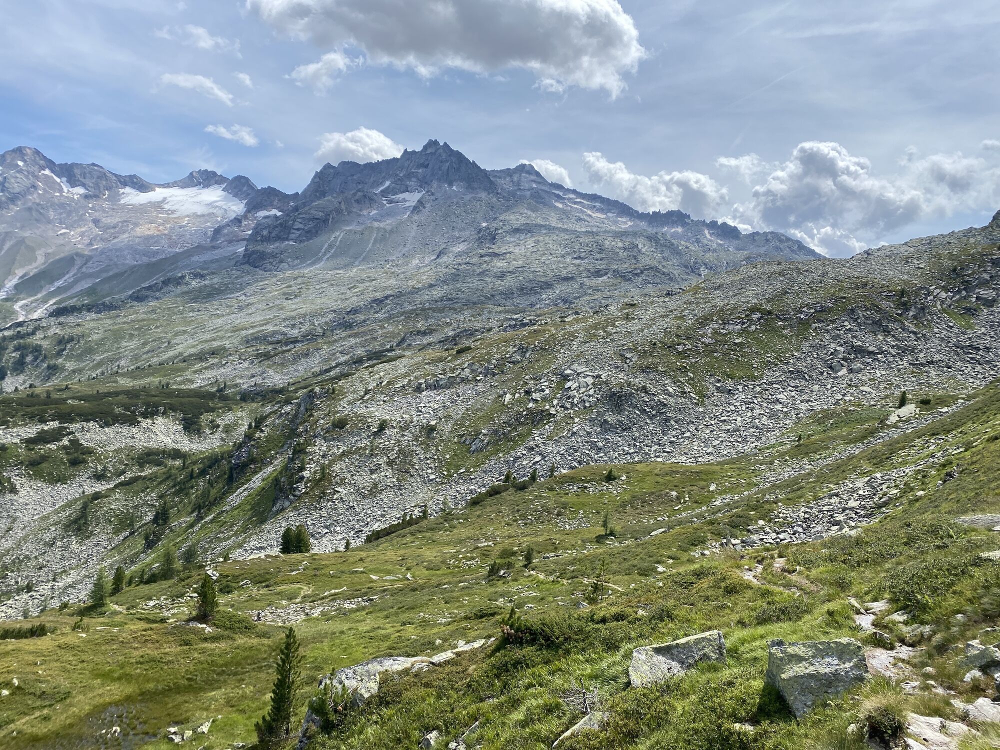
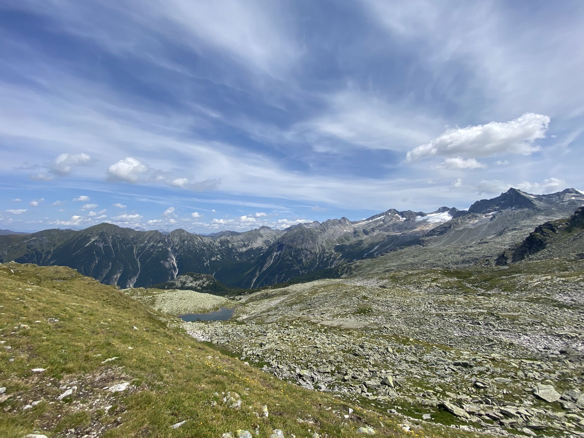
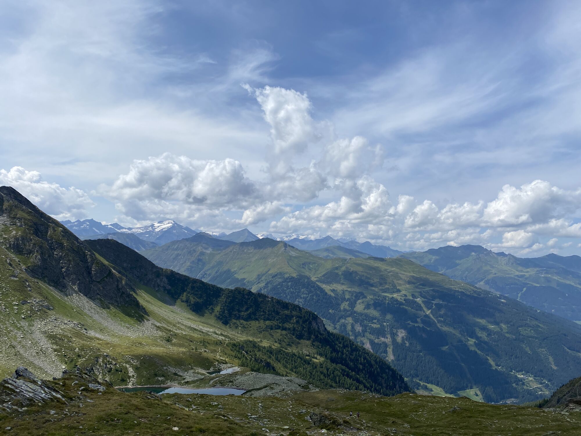
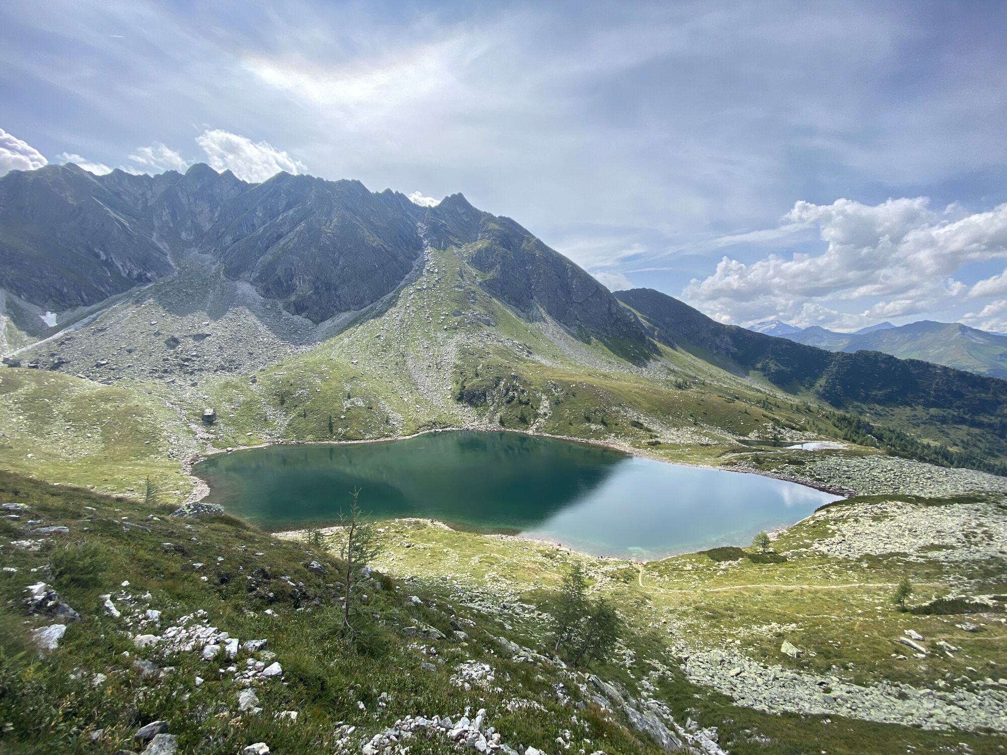
Kötschachtal - Reedsee - Palfnerscharte - Bergstation Graukogel Bad Gastein, Österreich


Dati percorsi
26,91km
1.064
- 2.310m
1.264hm
410hm
05:40h
- Descrizione rapida
-
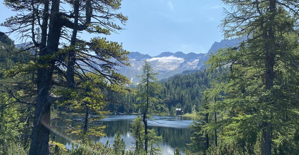
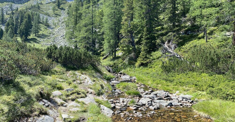
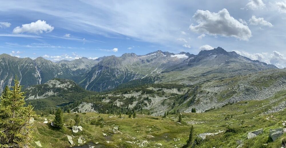
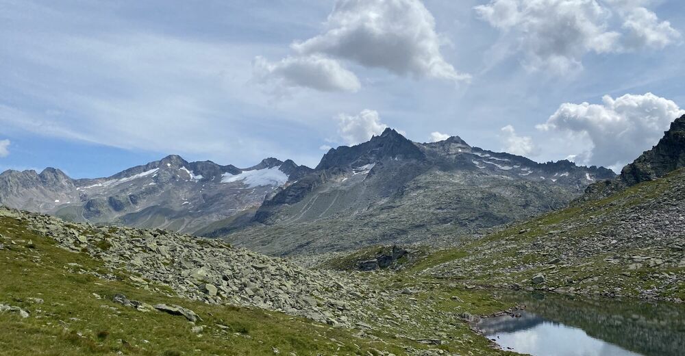
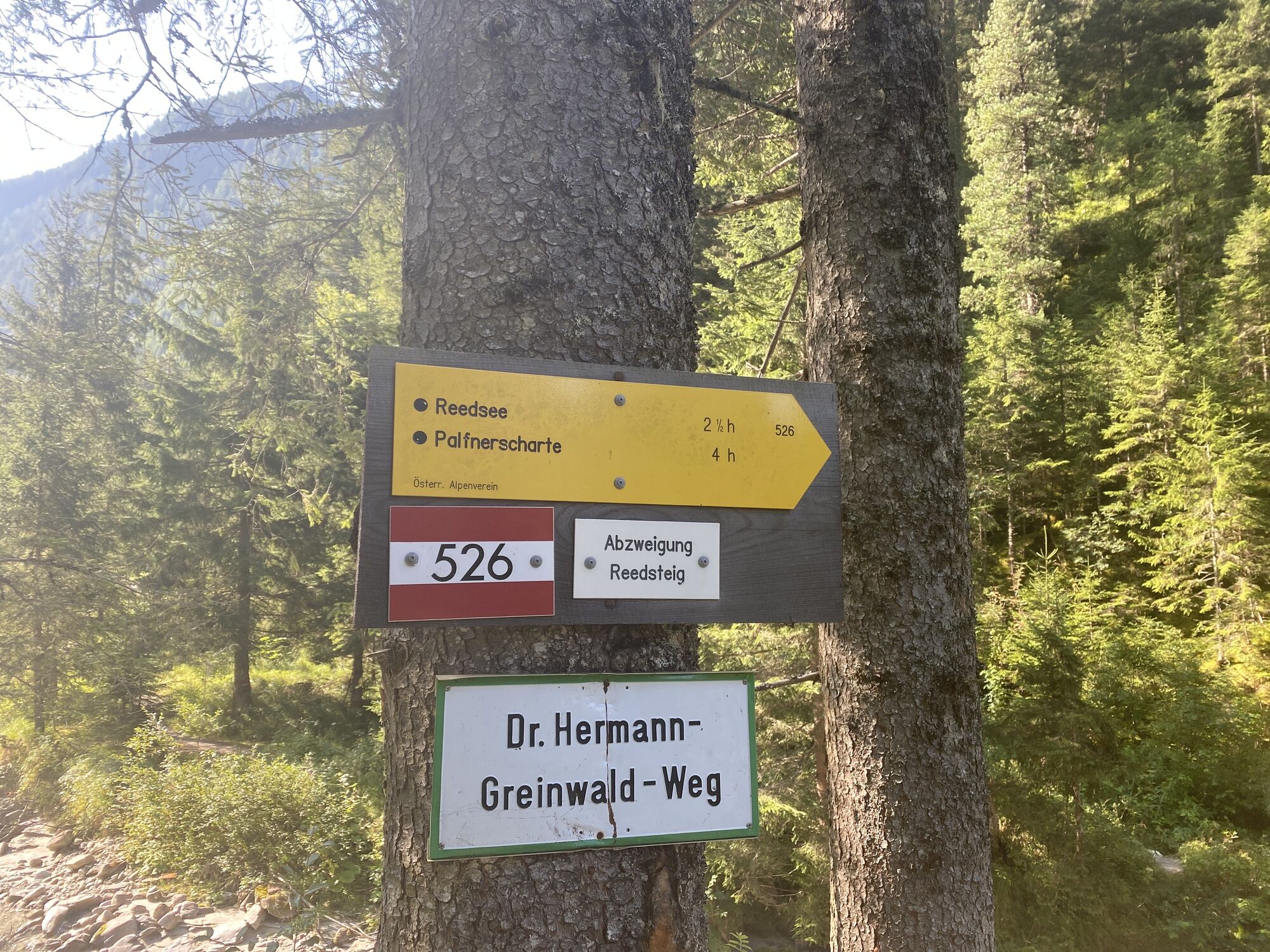
Wanderung vom Grünen Baum ins Kötschachtal über den Redsteig zum Reedsee und weiter zur Palfnerscharte und dem schlussendlichen Abstieg über den Paflnersee zur Bergstation Graukogel
- Difficoltà
-
difficile
- Valutazione
-
- Punto di partenza
-
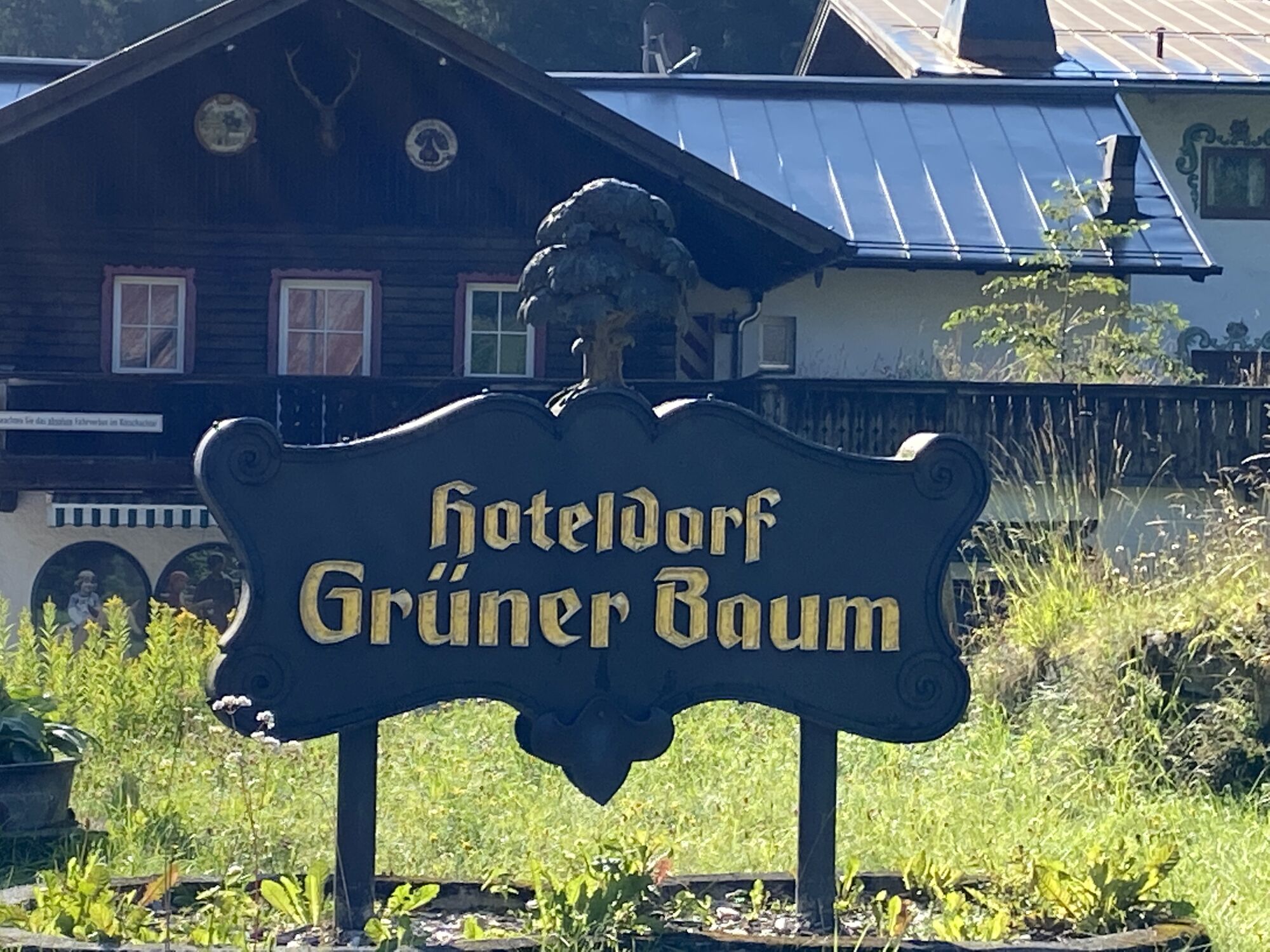
Hoteldorf Grüner Baum
- Percorso
-
KötschachtalMarienkapelle0,0 kmHimmelwandhütte1,3 kmKohlplatzl5,5 kmVinzenzkapelle12,1 kmGraukogelhütte12,2 kmGraukogel Bergstation12,2 kmKötschachtal14,6 kmMarienkapelle14,6 kmHimmelwandhütte16,0 kmKohlplatzl20,2 kmVinzenzkapelle26,8 kmGraukogelhütte26,9 kmGraukogel Bergstation26,9 km
- La stagione migliore
-
genfebmaraprmaggiulugagosetottnovdic
- Punto più alto
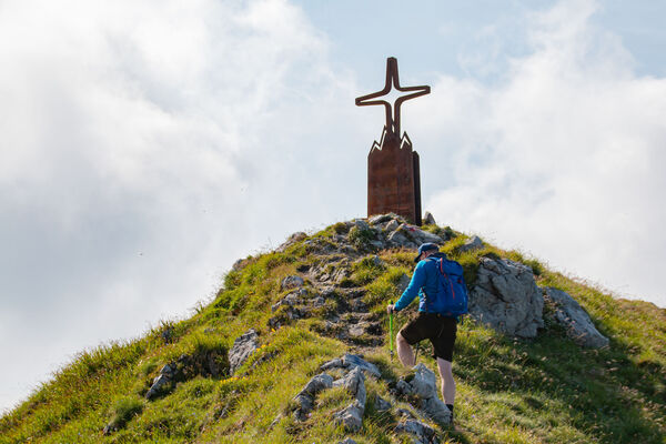
- Palfnerscharte (2.310 m)
- Destinazione
-
Bergstation Graukogel
- Riposo/Ritiro
-
Bergstation Graukogel oder Mittelstation Graukogel


- Fonte
- Florian Brunner
GPS Downloads


Altri tour nelle regioni