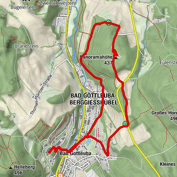
Dati percorsi
6,38km
327
- 439m
212hm
215hm
01:24h
- Descrizione rapida
-
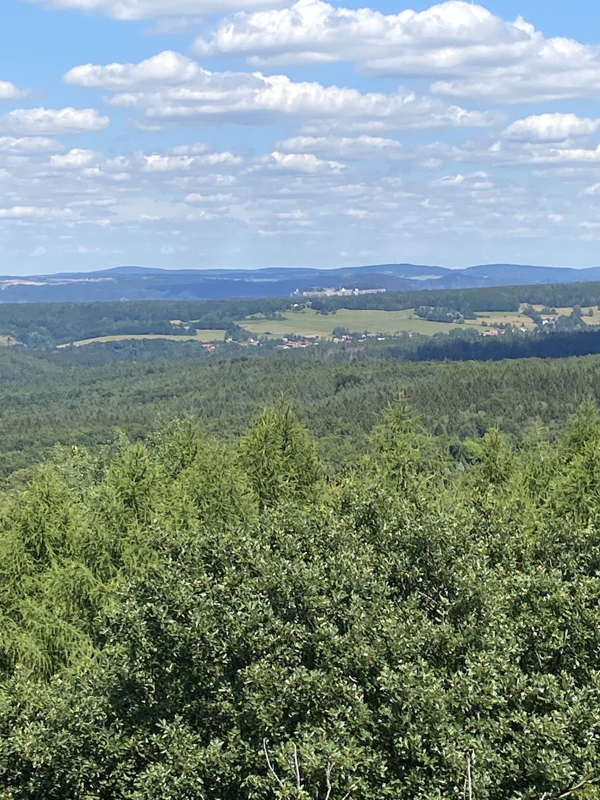
Von Bad Gottleuba zum Aussichtsturm auf der Panoramahöhe und zurück
- Difficoltà
-
facile
- Valutazione
-
- Percorso
-
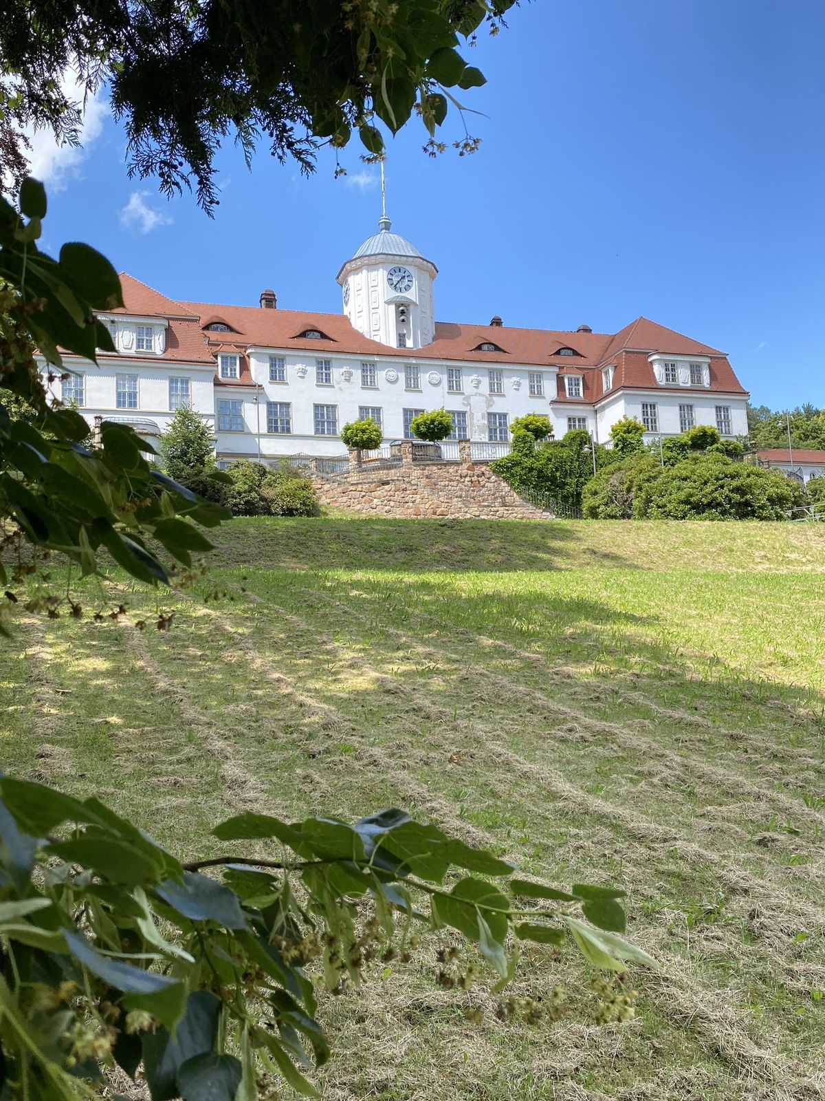
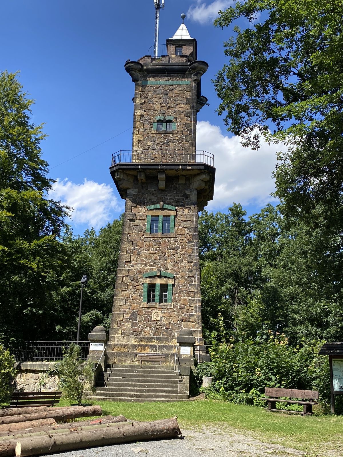
Bad Gottleuba0,4 kmParkcafé „Alter Bahnhof“0,6 kmPanoramahöhe (437 m)2,7 kmMörbitz Aussicht3,5 kmGiesenstein4,5 kmBad Gottleuba-Berggießhübel5,1 kmParkcafé „Alter Bahnhof“5,5 kmBad Gottleuba5,9 km
- Punto più alto
- 439 m
GPS Downloads


Altri tour nelle regioni
-
Sächsische Schweiz
1405
-
Erzgebirge
629
-
Bad Gottleuba-Berggießhübel
268