© SV Elbland - Torsten Schröder
- Descrizione rapida
-
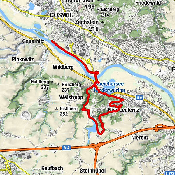
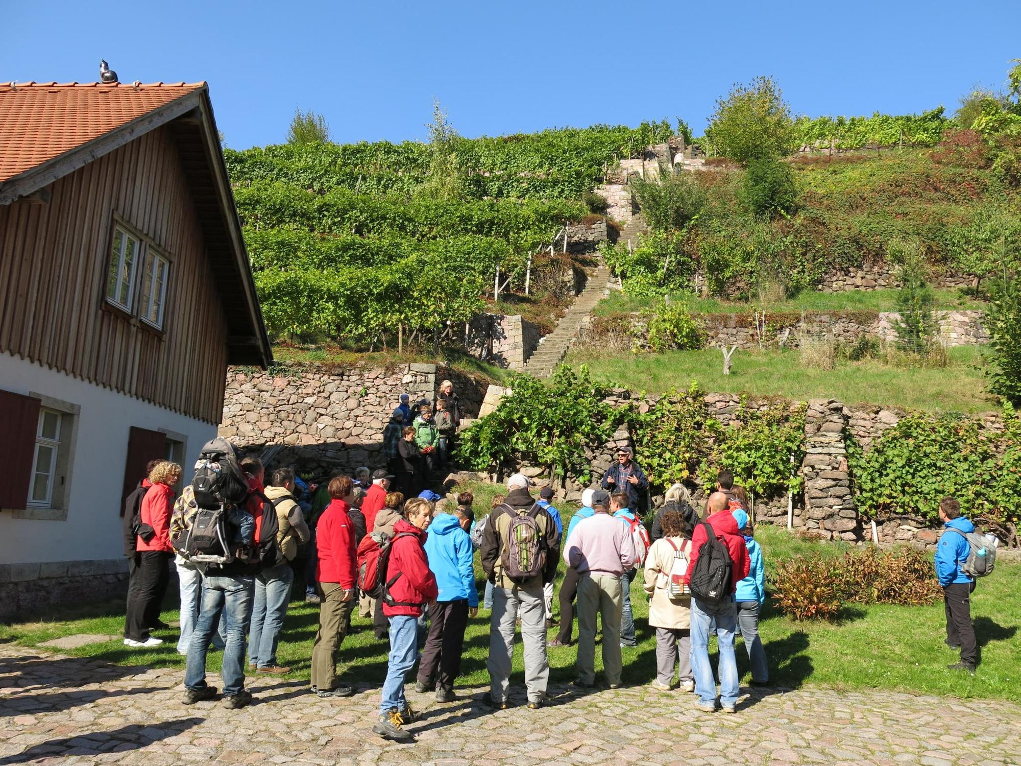
Hiking tour along the Lotzebach
- Difficoltà
-
intermedio
- Valutazione
-
- Percorso
-
Prinzenkeller0,0 kmRistorante & Pizzeria „Romantica“0,1 kmFünf Brüder2,2 kmRennersdorf3,9 kmNeu-Leuteritz6,2 kmHerrenkuppe (218 m)7,5 kmNiederwartha9,7 kmPrinzenkeller10,4 kmRistorante & Pizzeria „Romantica“10,4 kmSkopis Elbgarten12,7 kmCoswig (118 m)14,5 km
- La stagione migliore
-
genfebmaraprmaggiulugagosetottnovdic
- Punto più alto
- 255 m
- Destinazione
-
Ferry terminal Coswig, Kötitz
- Profilo altimetrico
-
 © outdooractive.com
- Autore
-
Il tour Through Tännichtgrund and Lotzebach Valley è utilizzato da outdooractive.com fornito.
GPS Downloads


Info generali
Punto di ristoro
Promettente
Altri tour nelle regioni
-
Dresden Elbland
624
-
Dresden
575
-
Coswig
107