Malerweg, Stage 2: From Stadt Wehlen to Hohnstein (official version TV Saxon Switzerland)

Escursionismo
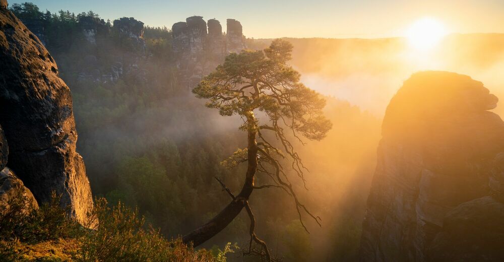
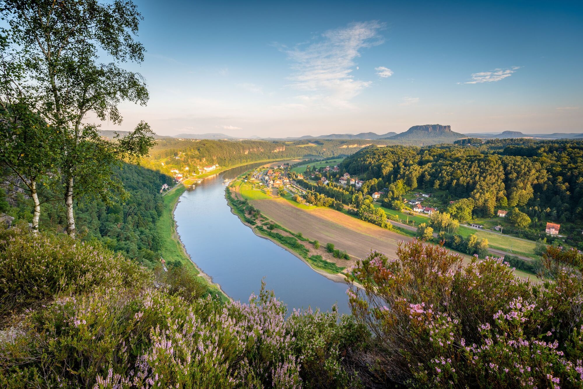
© Tourismusverband Sächsische Schweiz - Philipp Zieger
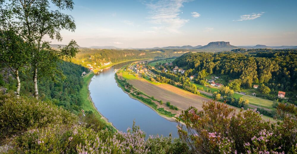
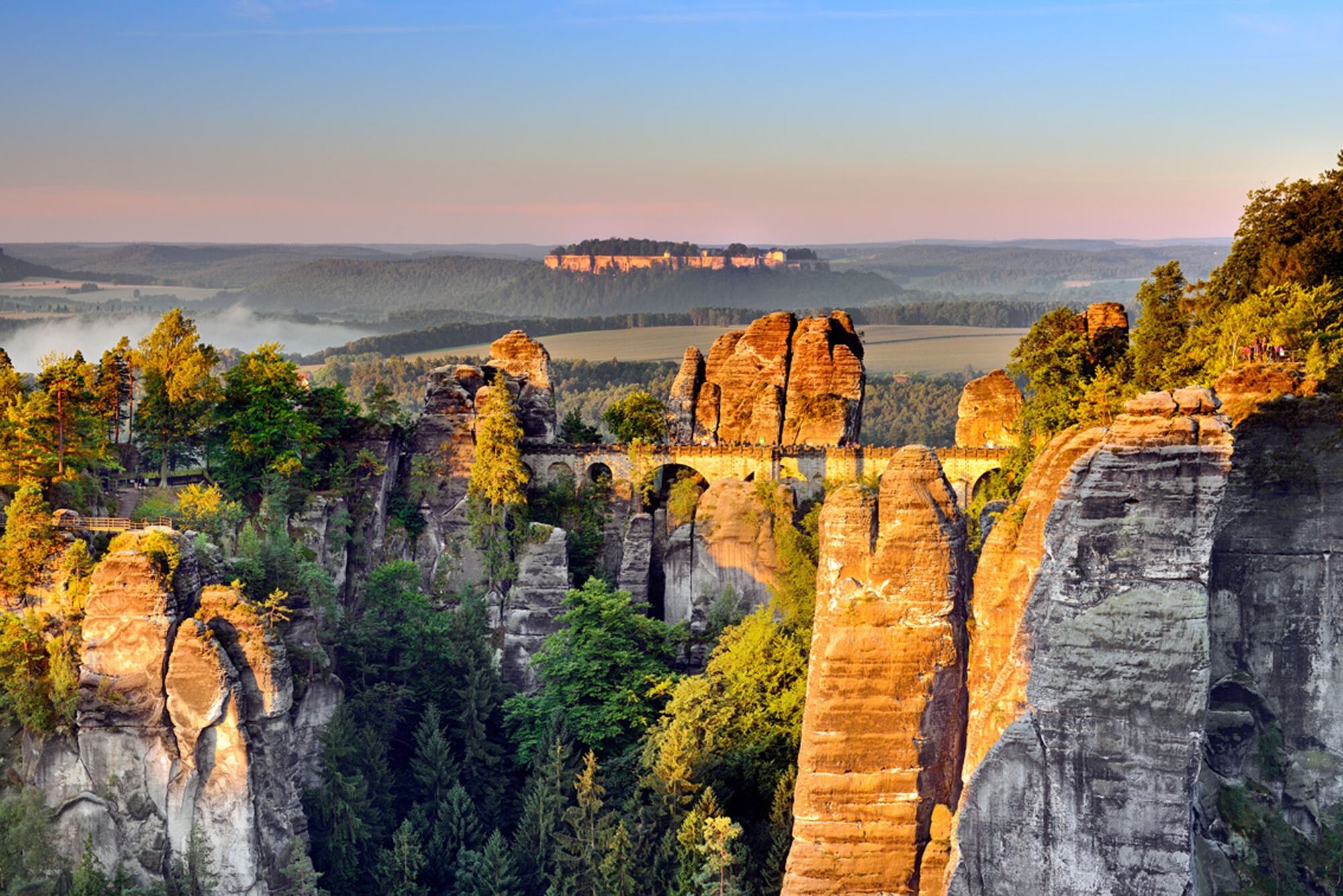
© Tourismusverband Sächsische Schweiz - Jacqueline Voigt

© Tourismusverband Sächsische Schweiz - Francesco Carovillano DZT

© Tourismusverband Sächsische Schweiz - Philipp Zieger

© Tourismusverband Sächsische Schweiz - Yvonne Brückner

© Tourismusverband Sächsische Schweiz - Sebastian Thiel

© Tourismusverband Sächsische Schweiz - Yvonne Brückner

© Tourismusverband Sächsische Schweiz - Sebastian Thiel

© Tourismusverband Sächsische Schweiz - Philipp Zieger

© Tourismusverband Sächsische Schweiz - Philipp Zieger
- Descrizione rapida
-
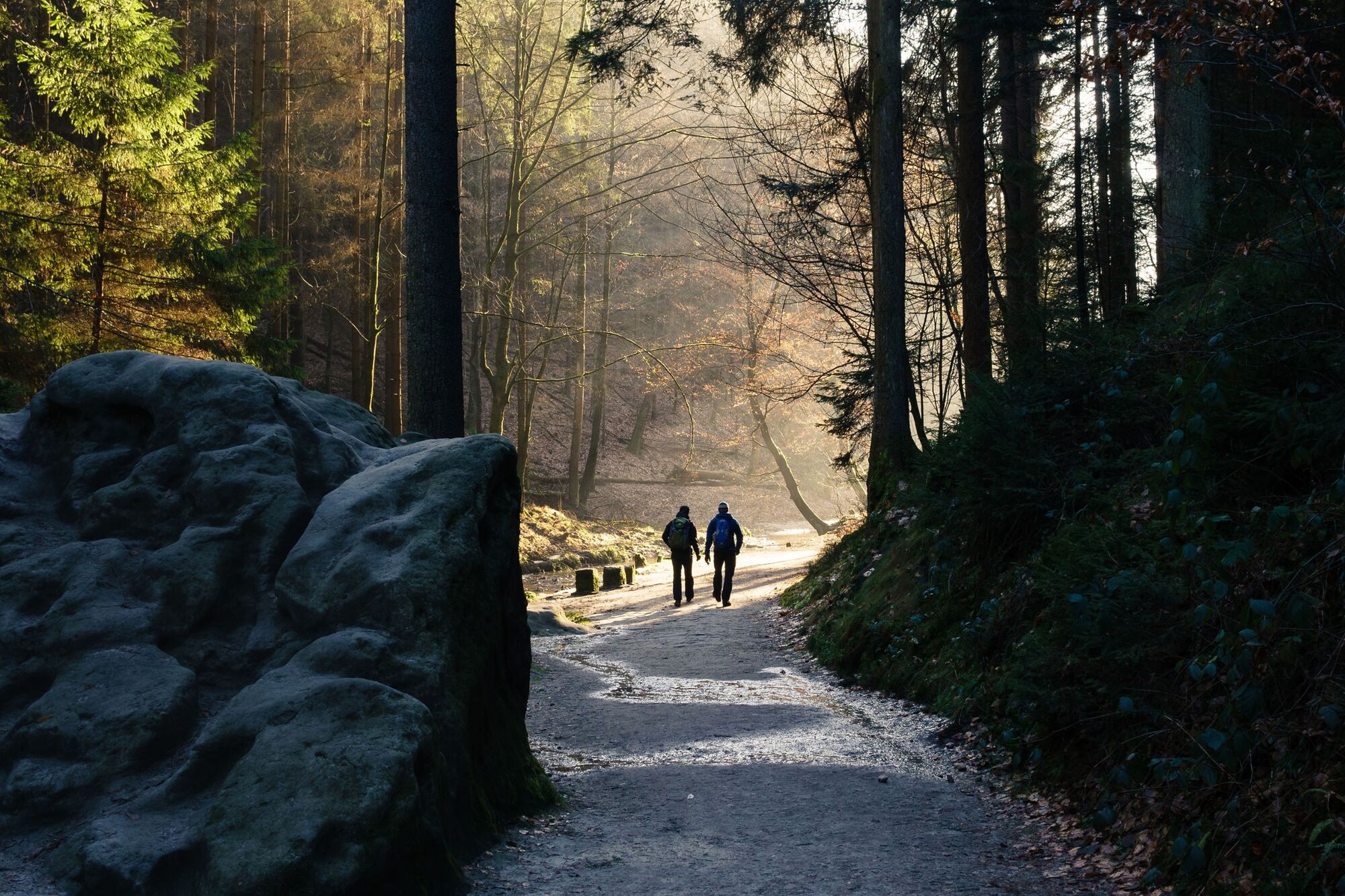
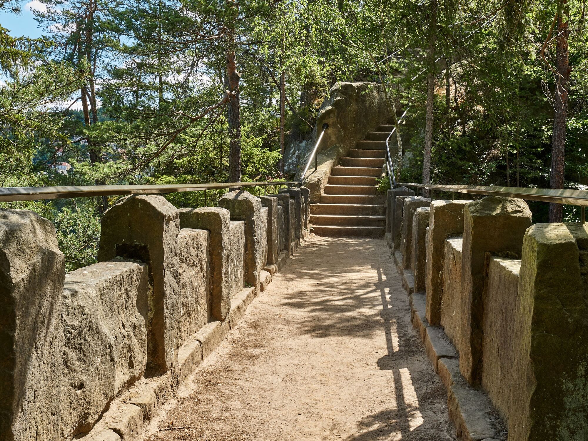
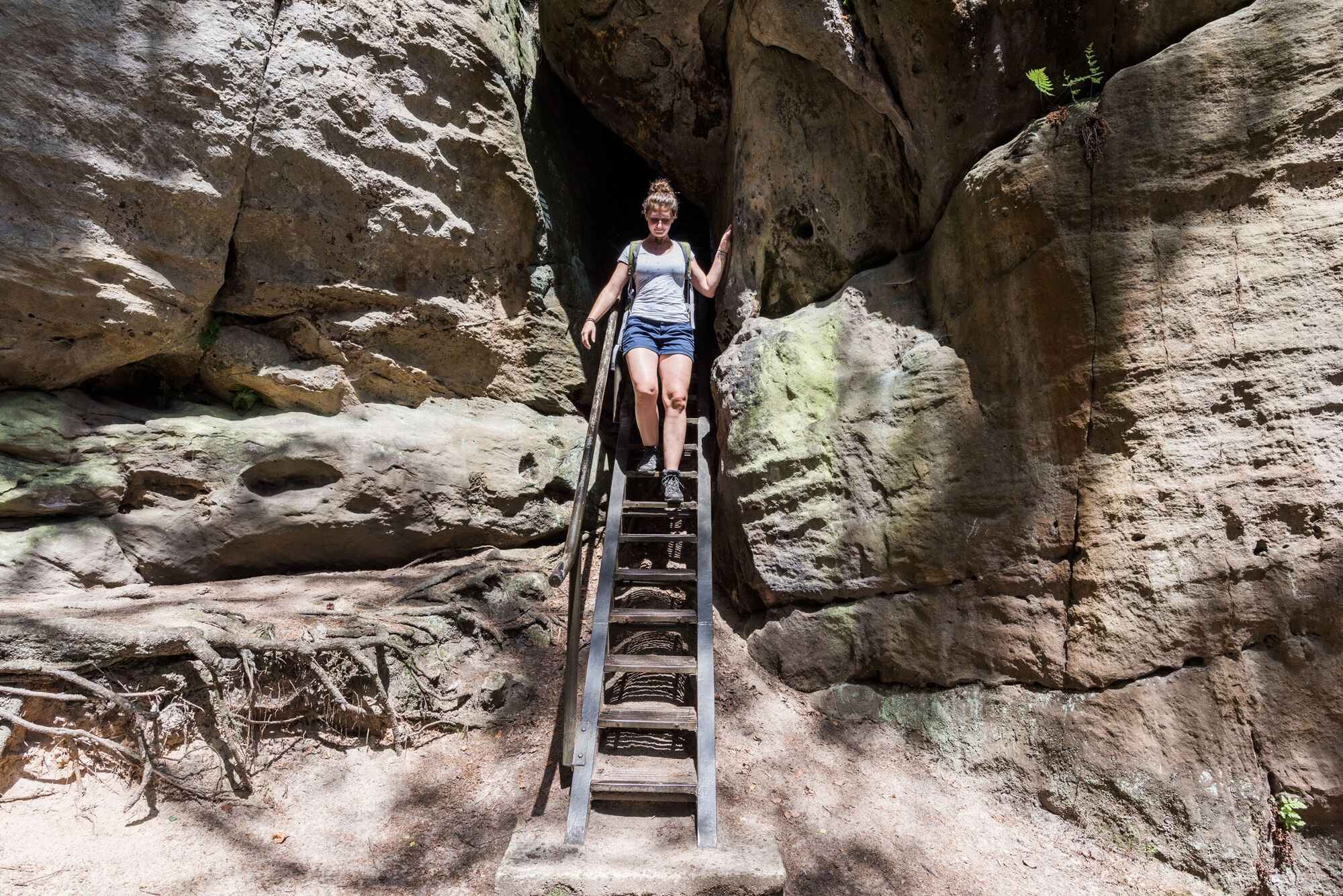
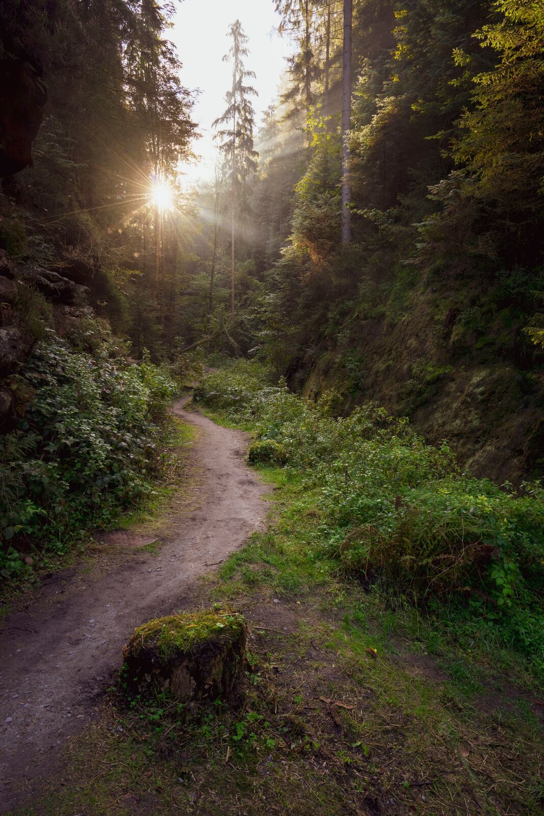
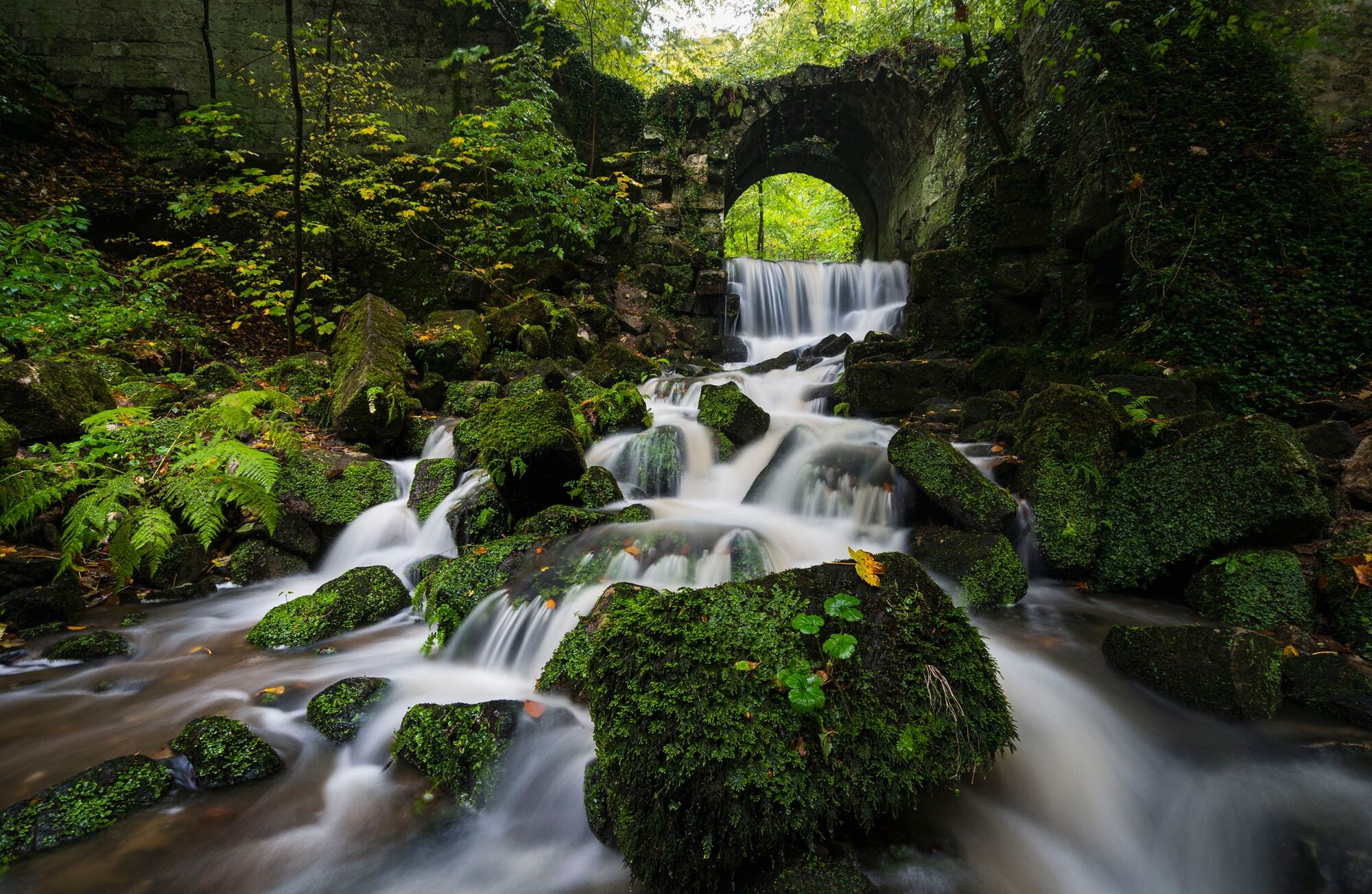
Demanding hike through the Saxon Switzerland National Park, partly with steps and ladders, several refreshment stops.
- Difficoltà
-
intermedio
- Valutazione
-
- Percorso
-
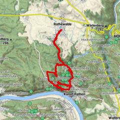
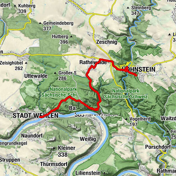
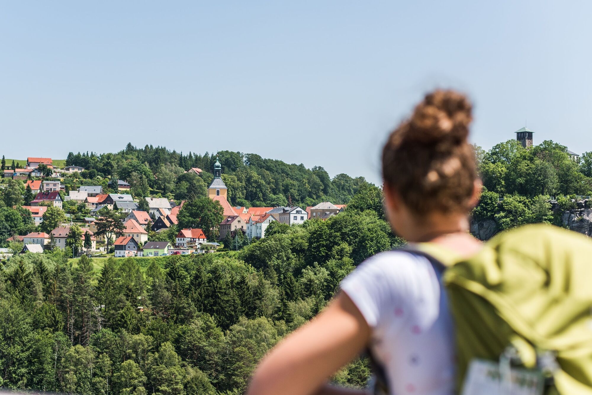
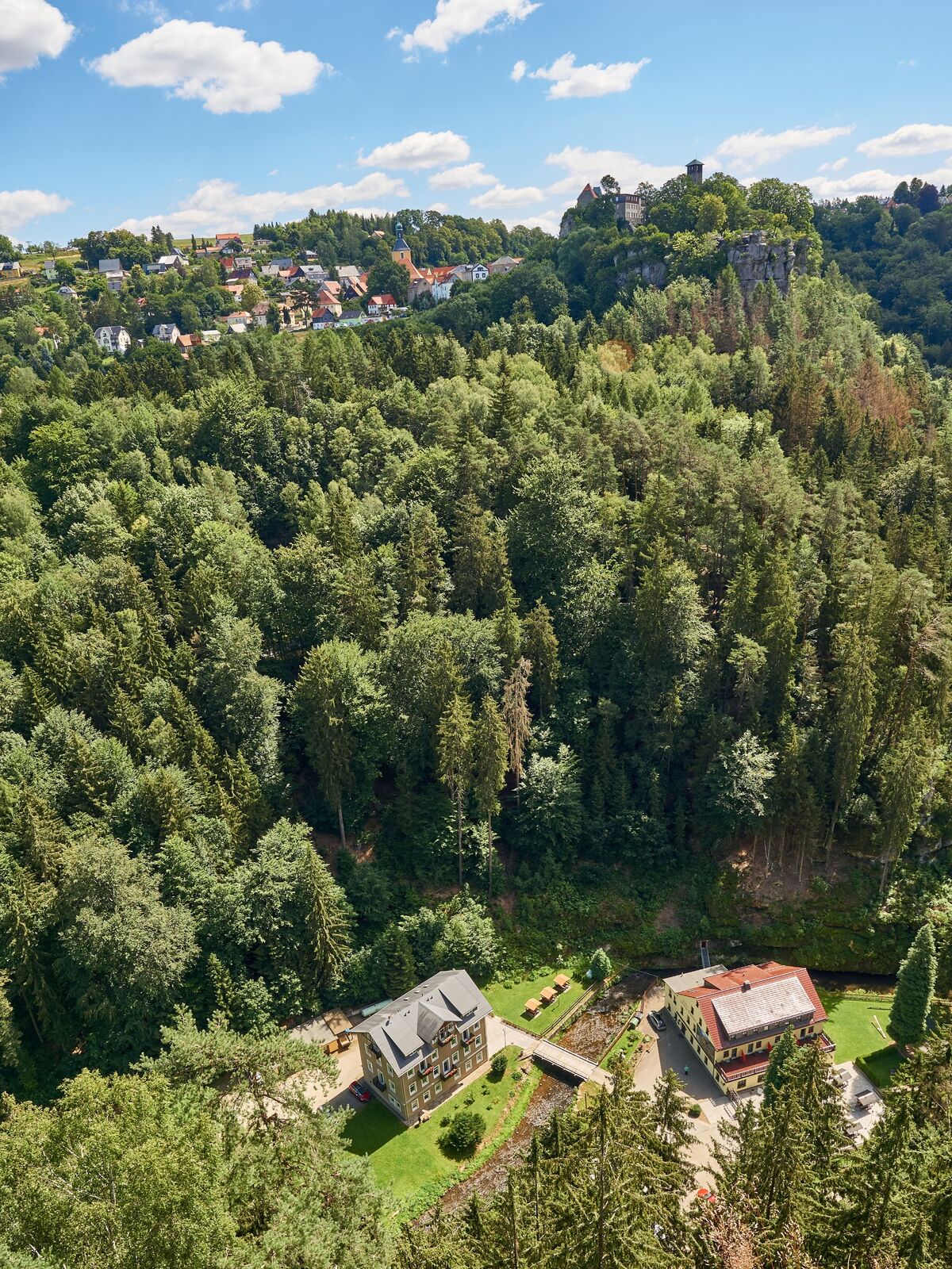
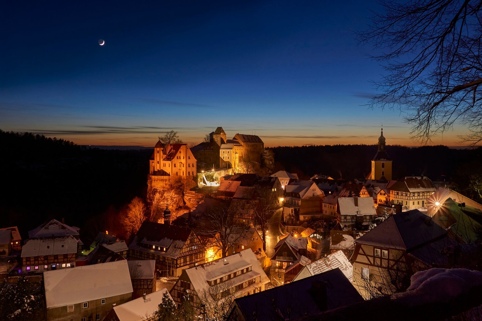
Kirche zu Stadt WehlenStadt Wehlen (120 m)Pötzscha0,2 kmSchwarzberg0,9 kmSchwarzer Berg (262 m)1,1 kmSteinerner Tisch2,2 kmHermann-Höhle2,6 kmAschelochturm3,2 kmBastei (305 m)3,3 kmSieberturm3,4 kmRudolf-Holtz-Turm3,4 kmBastei3,5 kmJahrhundertturm3,5 kmBasteischluchtturm3,5 kmSteinschleuder3,5 kmBasteibrücke3,5 kmLanger Israel3,5 kmReh3,6 kmNeurathener Felsentor3,6 kmBiene3,7 kmTiedgestein3,8 kmMönch3,9 kmKurort Rathen4,2 kmAmselfall5,8 kmRadewalder Mühle6,7 kmLindengarten7,0 kmRathewalde7,2 kmGaststätte & Pension "Hocksteinschänke"8,6 kmHocksteinnadel9,6 kmHocksteinhöhle9,6 kmHockstein (282 m)9,7 kmHocksteinturm9,7 kmHocksteinaussicht9,8 kmPension & Gasthaus Polenztal10,4 kmHohnstein10,7 km
- La stagione migliore
-
genfebmaraprmaggiulugagosetottnovdic
- Punto più alto
- 326 m
- Destinazione
-
Hohnstein
- Profilo altimetrico
-
 © outdooractive.com
- Autore
-
Il tour Malerweg, Stage 2: From Stadt Wehlen to Hohnstein (official version TV Saxon Switzerland) è utilizzato da outdooractive.com fornito.
GPS Downloads
Info generali
Punto di ristoro
Culturale/Storico
Promettente
Altri tour nelle regioni
-
Sächsische Schweiz
1407
-
Westlausitz
452
-
Rathen
513