Malerweg, Stage 7: From Gohrisch to Weißig (official version TV Saxon Switzerland)

Escursionismo
© Tourismusverband Sächsische Schweiz - Britta Prema Hirschburger

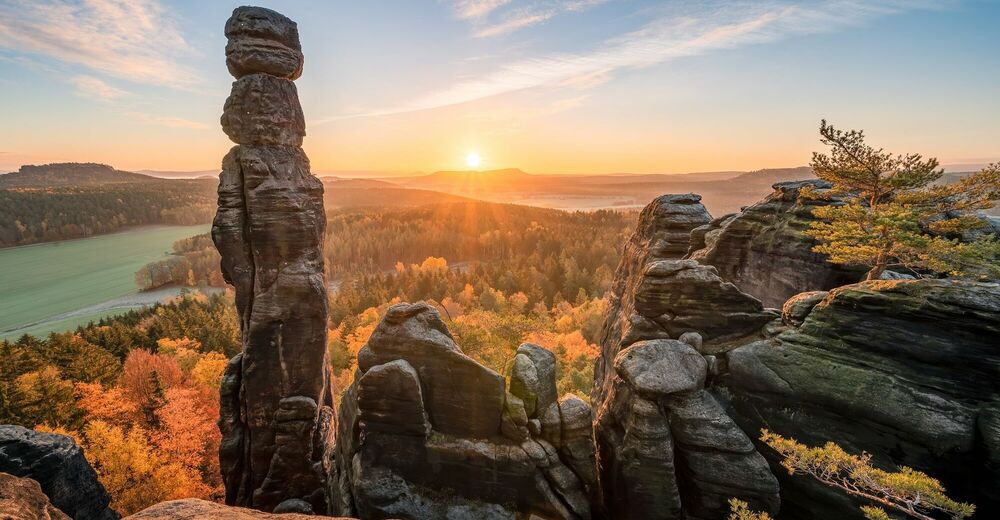
© Tourismusverband Sächsische Schweiz - Achim Meurer

© Tourismusverband Sächsische Schweiz - Sebsatian Rose

© Tourismusverband Sächsische Schweiz - Thomas Eichberg

© Tourismusverband Sächsische Schweiz - Yvonne Brückner

© Tourismusverband Sächsische Schweiz - Yvonne Brückner

© Tourismusverband Sächsische Schweiz - Yvonne Brückner

© Tourismusverband Sächsische Schweiz - Yvonne Brückner

© Tourismusverband Sächsische Schweiz - Yvonne Brückner

© Tourismusverband Sächsische Schweiz - Yvonne Brückner
- Descrizione rapida
-
moderately strenuous hike with many attractions, several places to stop for refreshments
- Difficoltà
-
difficile
- Valutazione
-
- Percorso
-
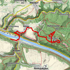
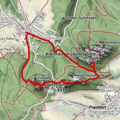
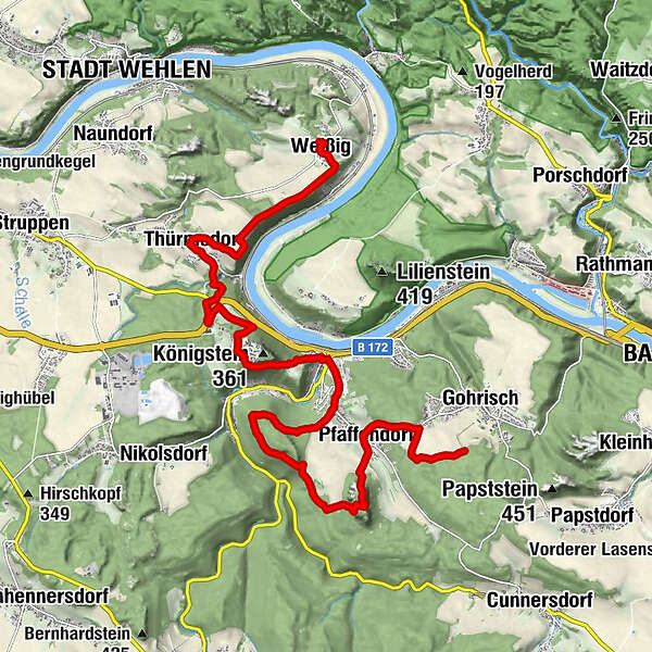
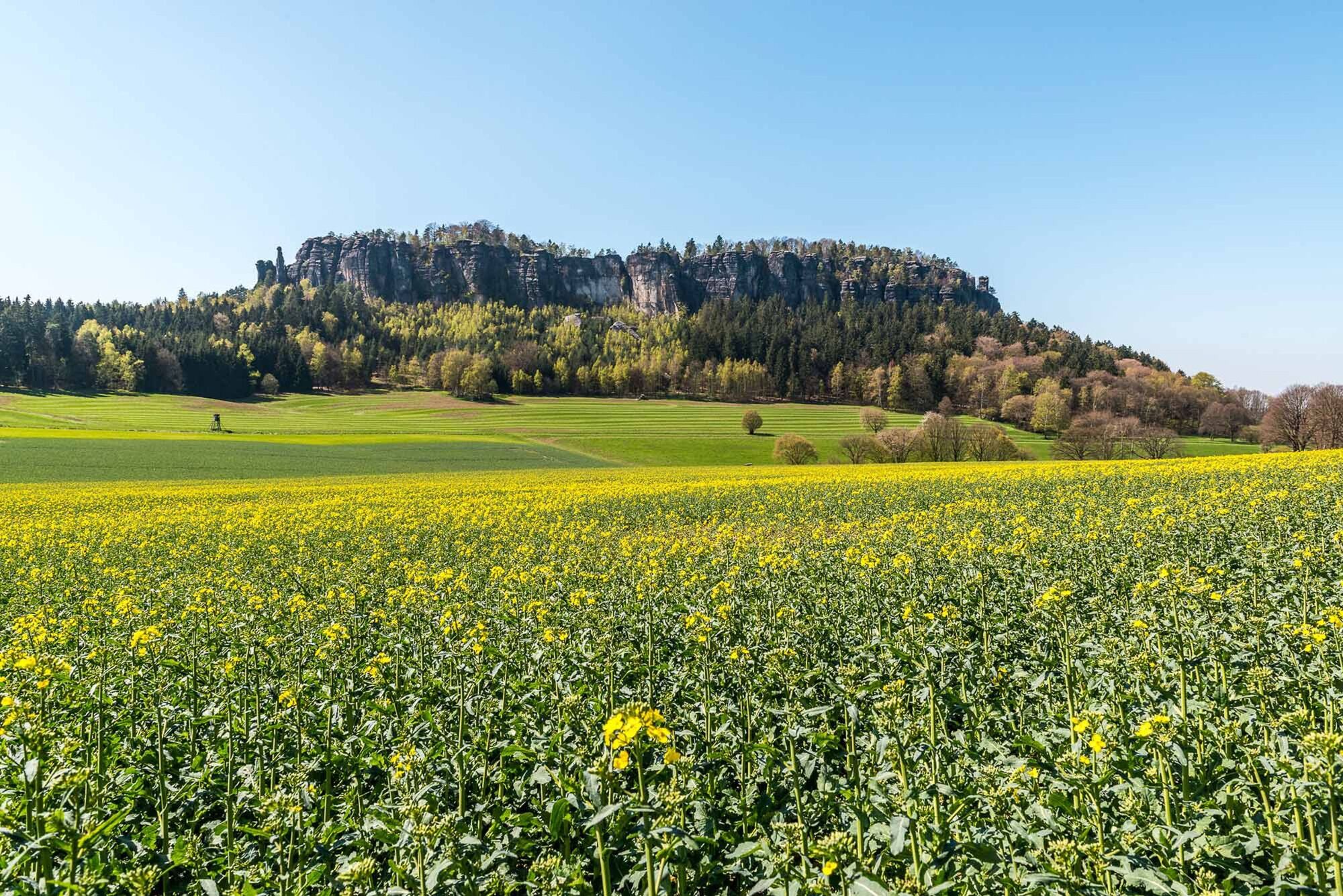
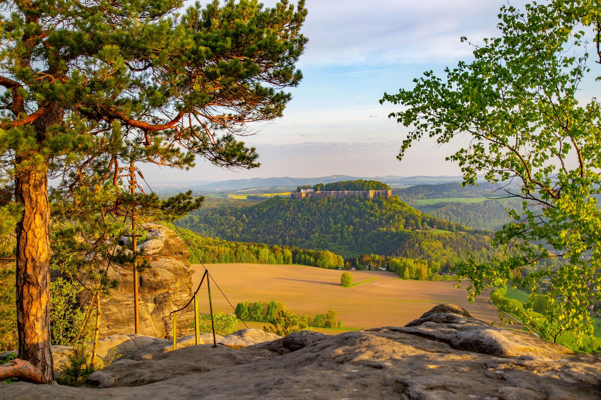
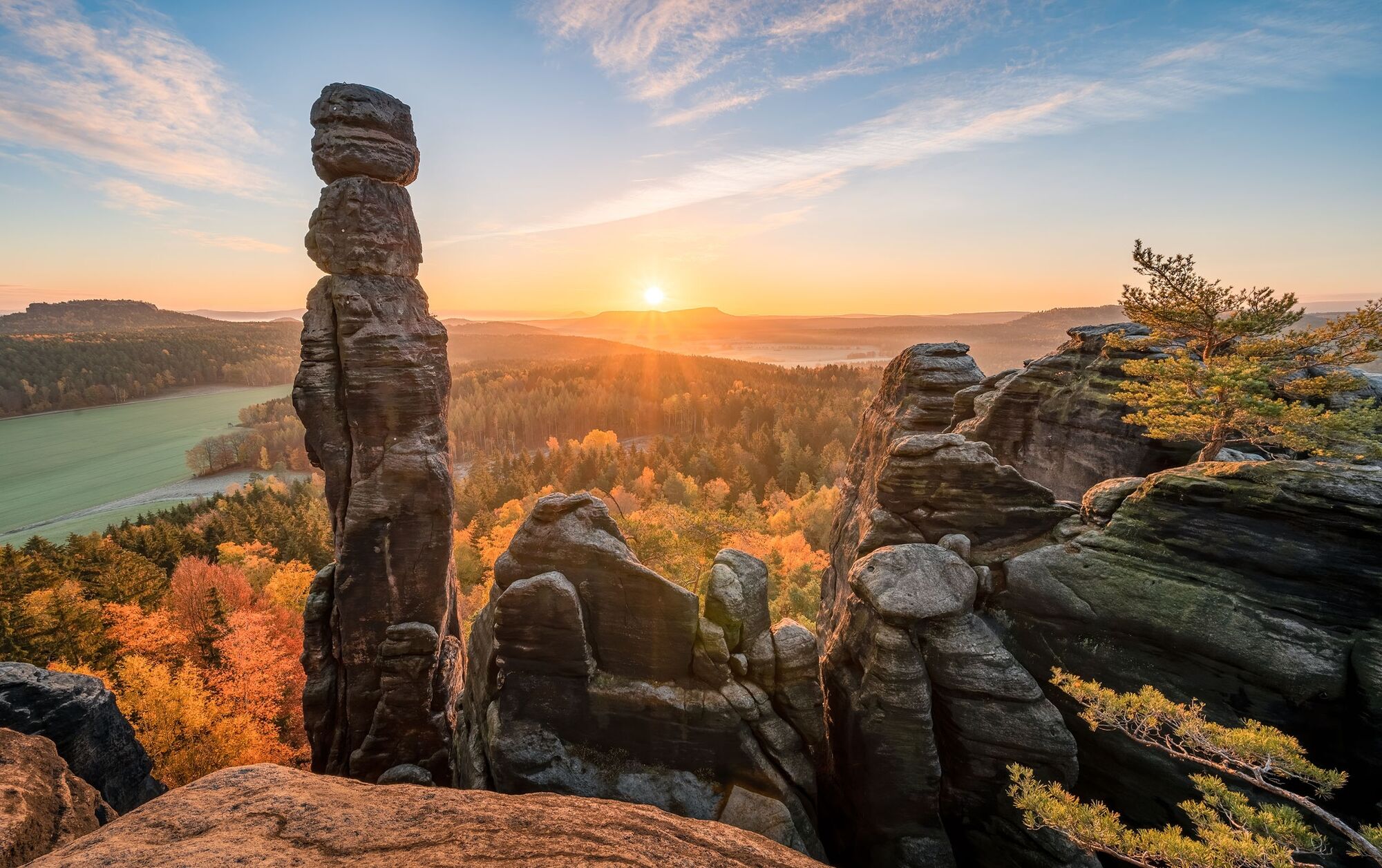
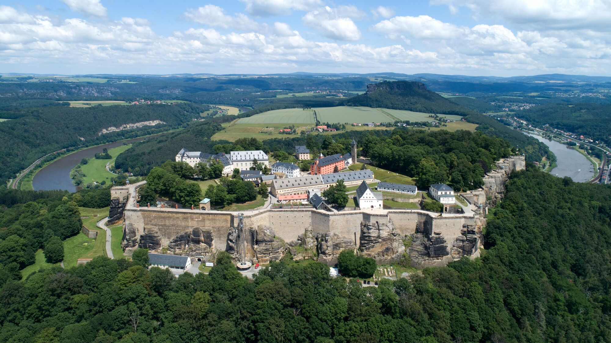
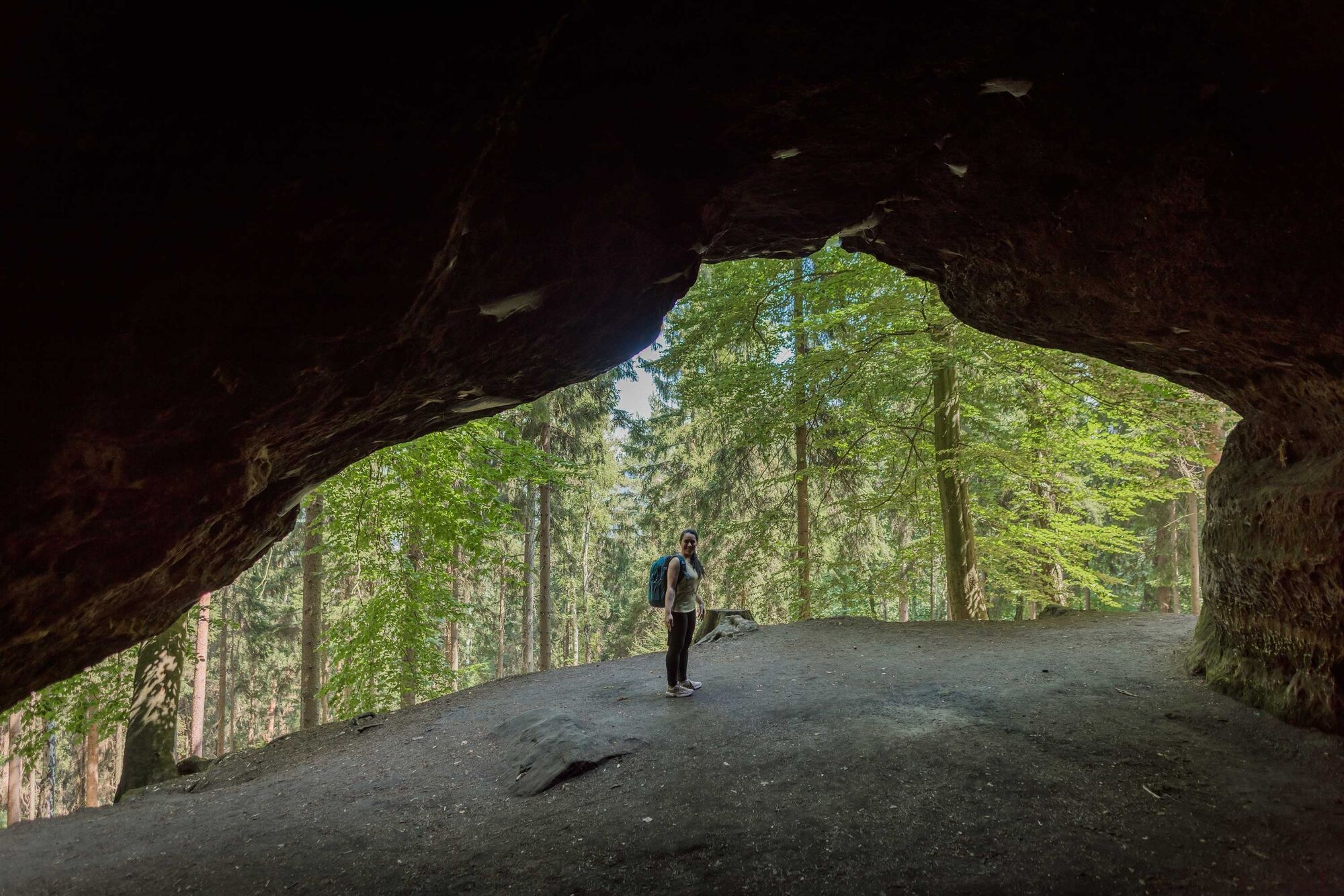
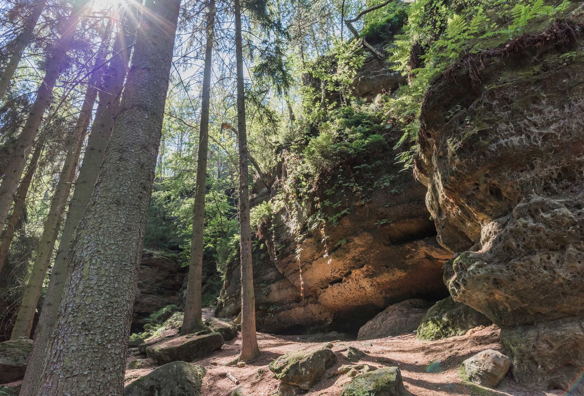
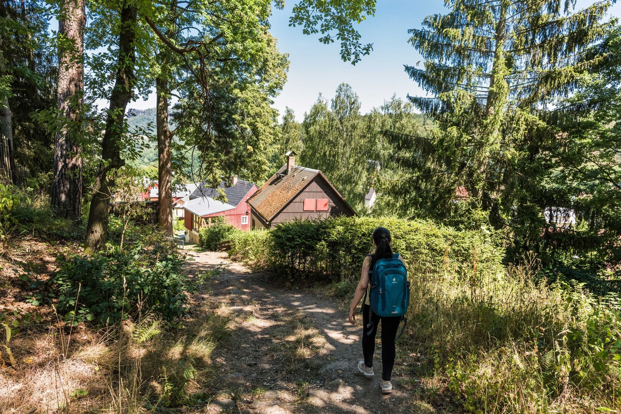
Pfaffendorf2,2 kmGasthaus "Zum Pfaffenstein“2,4 kmGlatter Turm2,9 kmBerggaststätte "Pfaffenstein"3,2 kmPfaffenstein (435 m)3,3 kmHafersack3,5 kmJäckelfels3,5 kmPeterskirche3,5 kmToter Zwerg3,5 kmKleiner Kuhstall (374 m)3,5 kmBellohöhle3,5 kmSchildkröte3,5 kmQuirlwächter6,0 kmKletterhöhle6,6 kmDiebskeller6,7 kmkünstlicher Wasserfall8,2 kmKönigstein (212 m)8,2 kmStadtkirche Königstein8,5 kmFriedrichshalle9,3 kmPehna-Fall12,4 kmThürmsdorf13,0 kmJohann-Alexander-Thiele-Aussicht14,0 kmStrand15,6 kmWeißig16,3 km
- La stagione migliore
-
genfebmaraprmaggiulugagosetottnovdic
- Punto più alto
- 409 m
- Destinazione
-
Weißig
- Profilo altimetrico
-
 © outdooractive.com

- Autore
-
Il tour Malerweg, Stage 7: From Gohrisch to Weißig (official version TV Saxon Switzerland) è utilizzato da outdooractive.com fornito.
GPS Downloads


Info generali
Punto di ristoro
Culturale/Storico
Promettente
Altri tour nelle regioni
-
Sächsische Schweiz
1393
-
Erzgebirge
618
-
Königstein (Sächsische Schweiz)
513