© Erlebnisheimat Erzgebirge - Stadt Zschopau Schloss Wildeck

© Erlebnisheimat Erzgebirge - Stadt Zschopau Schloss Wildeck

© Erlebnisheimat Erzgebirge - Stadt Zschopau Schloss Wildeck

© Erlebnisheimat Erzgebirge - Stadt Zschopau Schloss Wildeck

© Erlebnisheimat Erzgebirge - Stadt Zschopau Schloss Wildeck

© Erlebnisheimat Erzgebirge - Stadt Zschopau Schloss Wildeck

© Erlebnisheimat Erzgebirge - Stadt Zschopau Schloss Wildeck

© Erlebnisheimat Erzgebirge - B. Knöbel

© Erlebnisheimat Erzgebirge - B.Knöbel

© Erlebnisheimat Erzgebirge - B. Knöbel


- Descrizione rapida
-
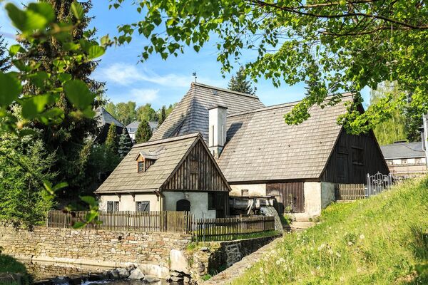
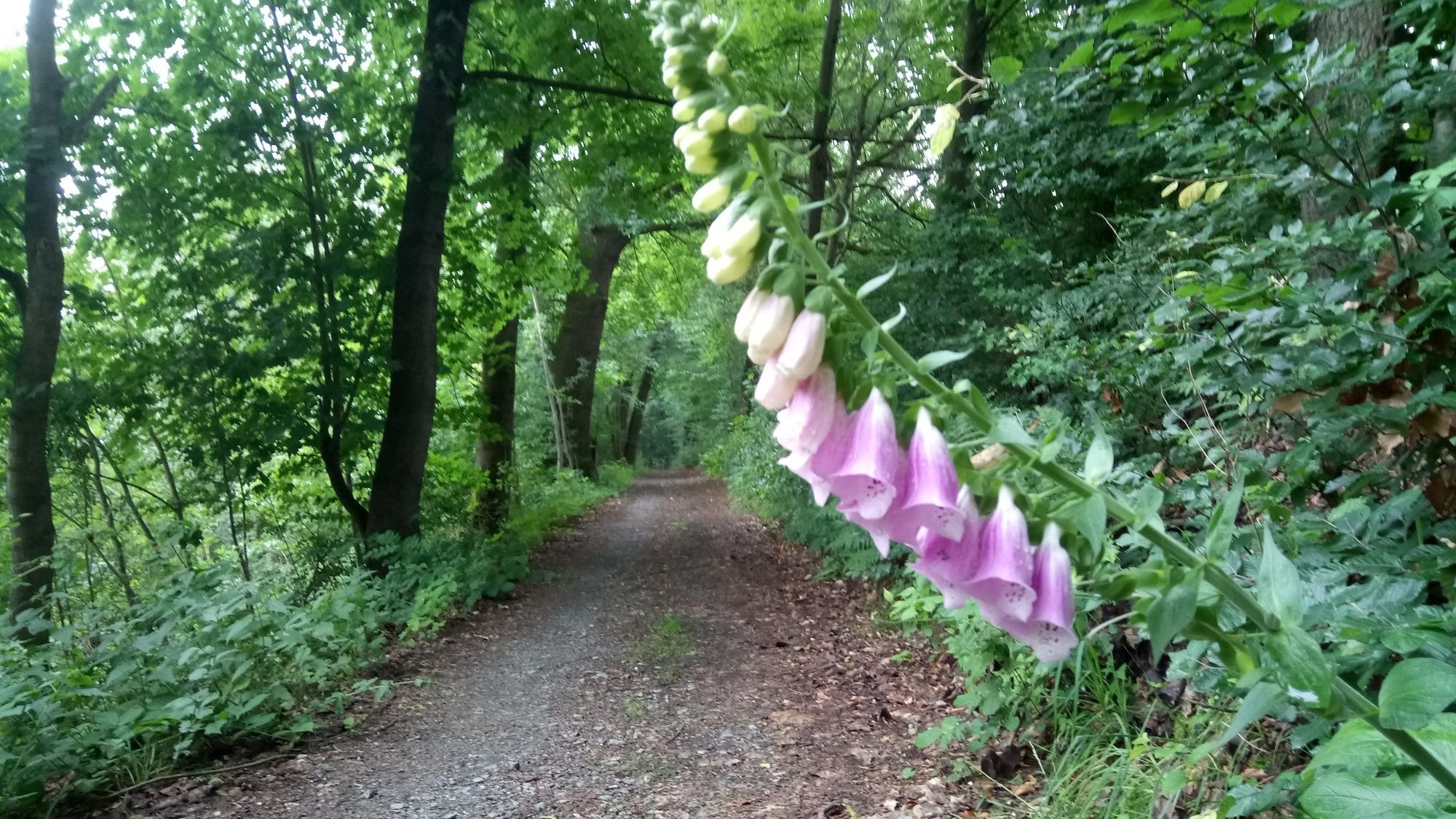
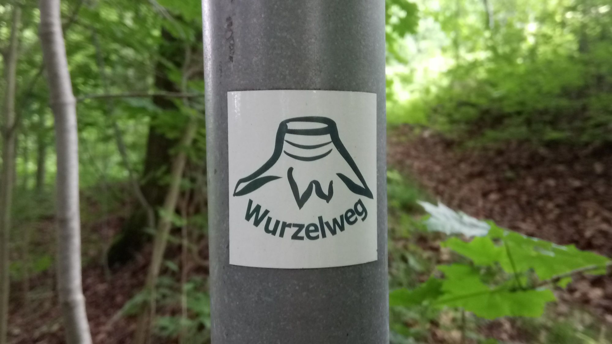
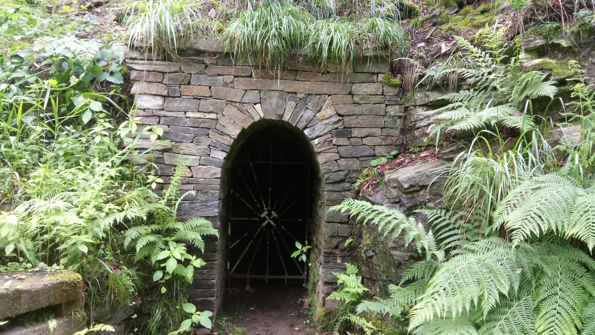
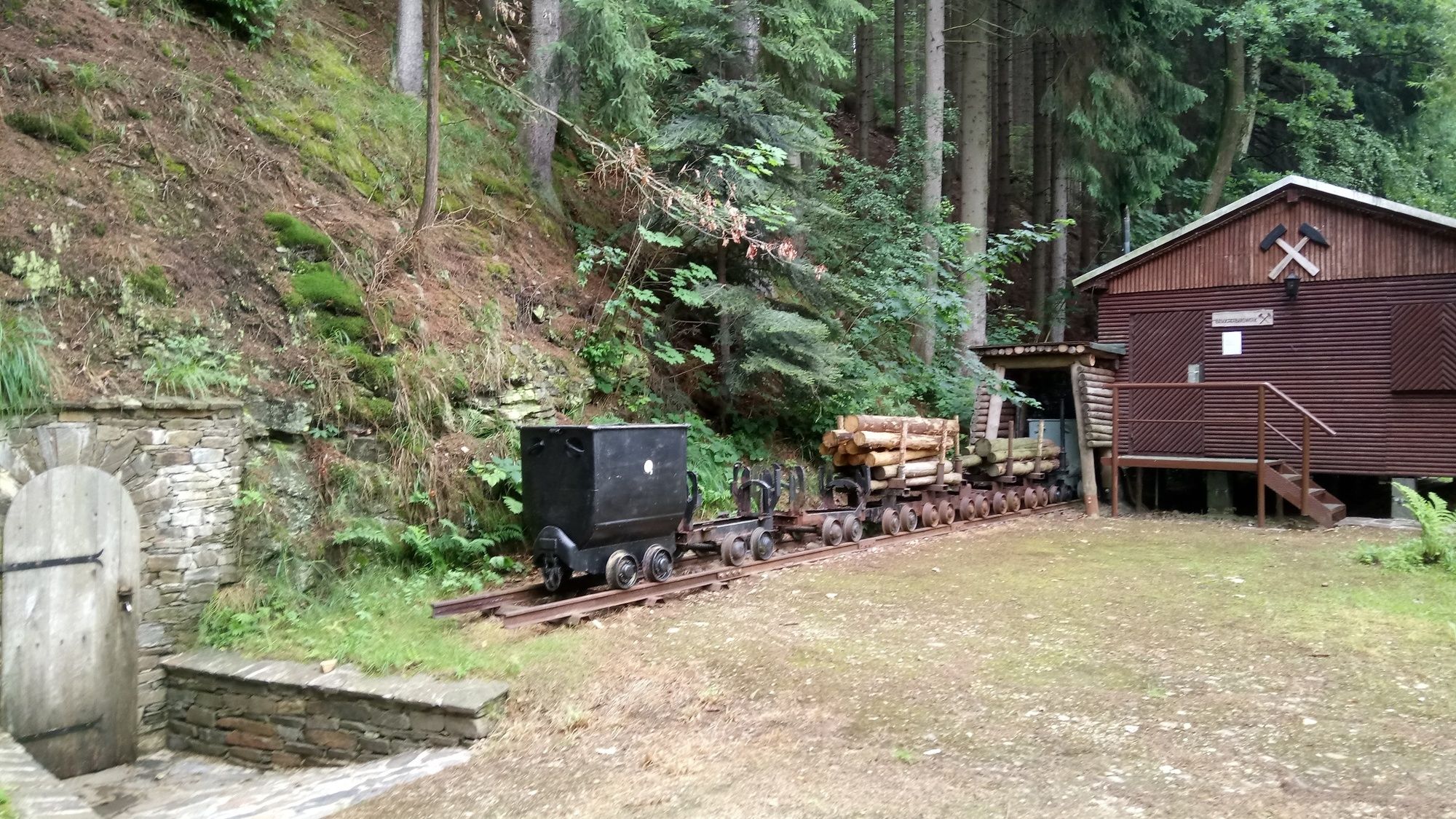
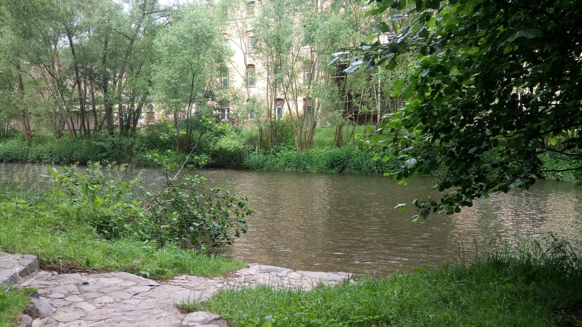
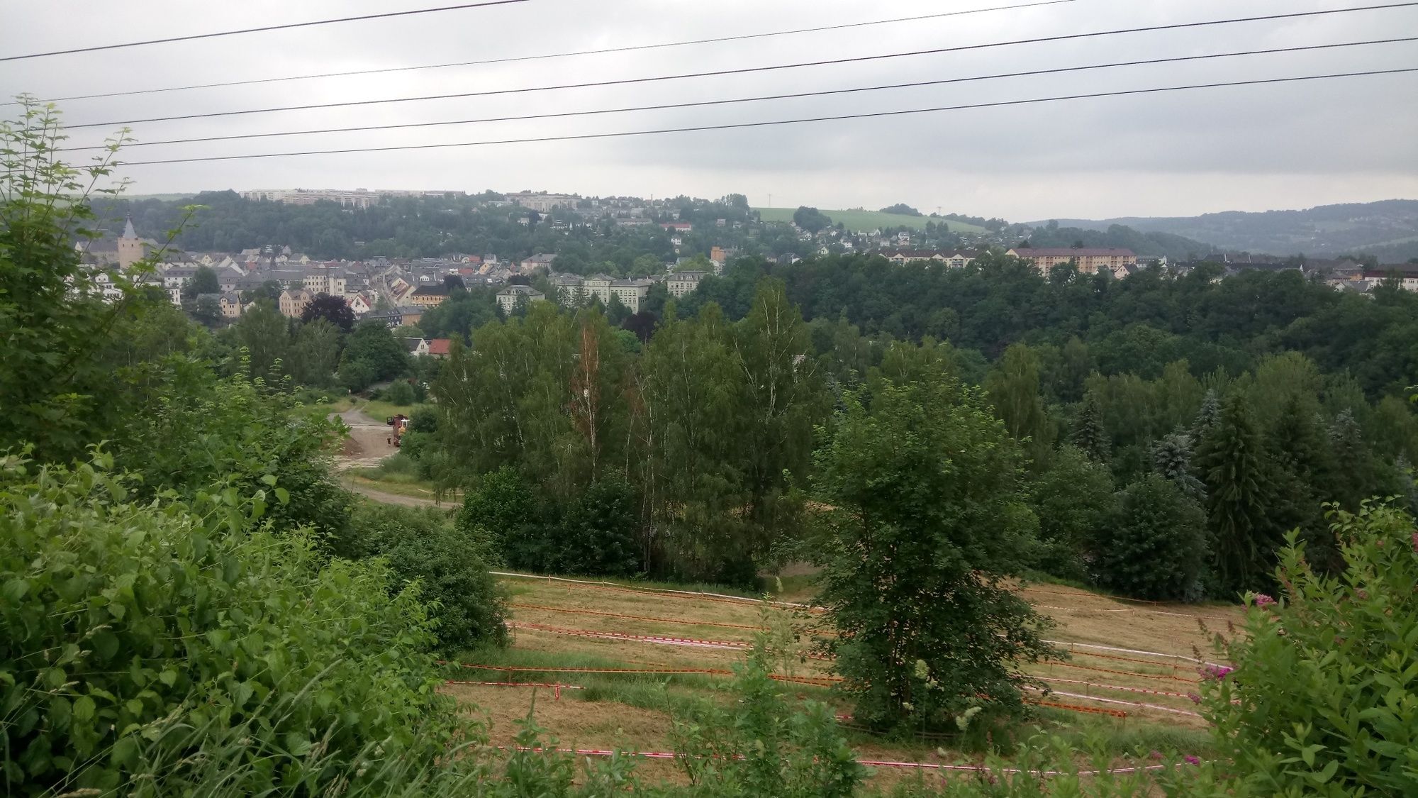
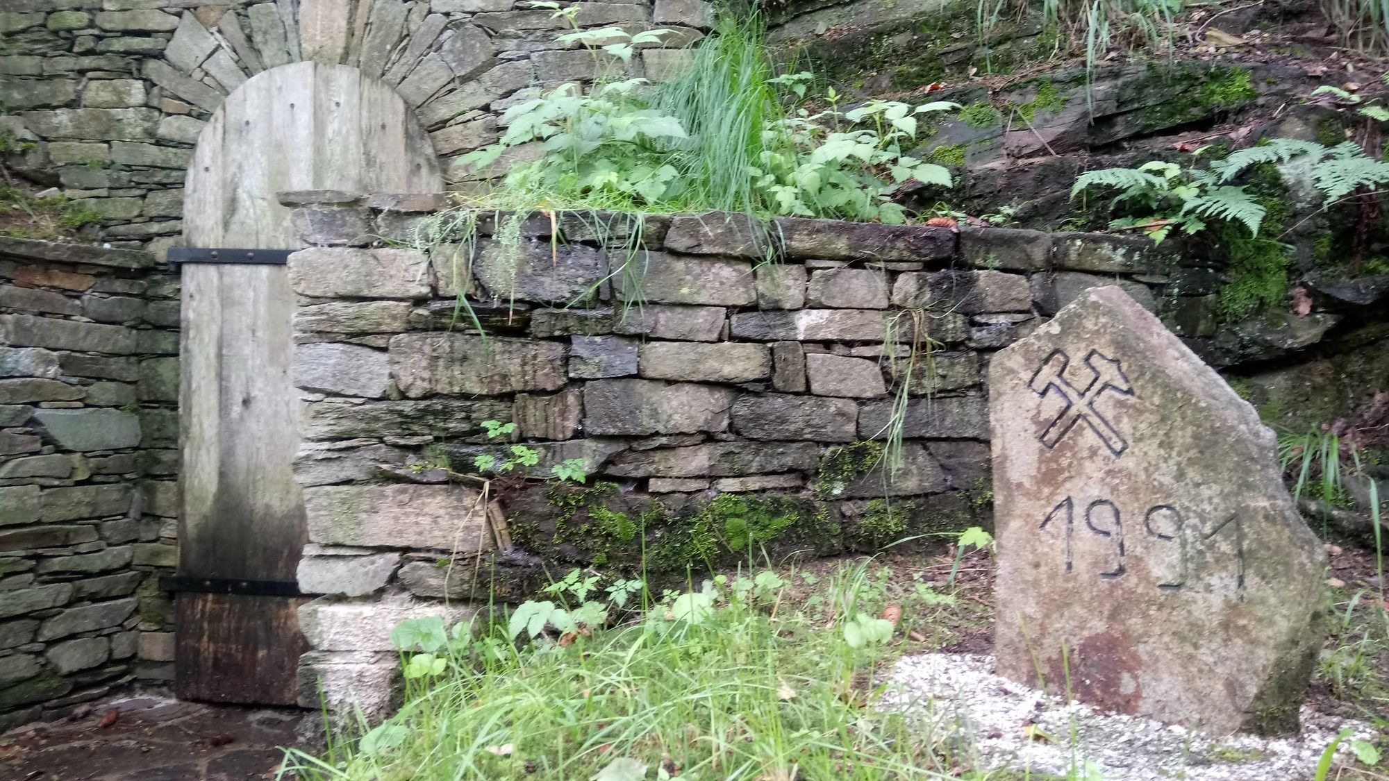
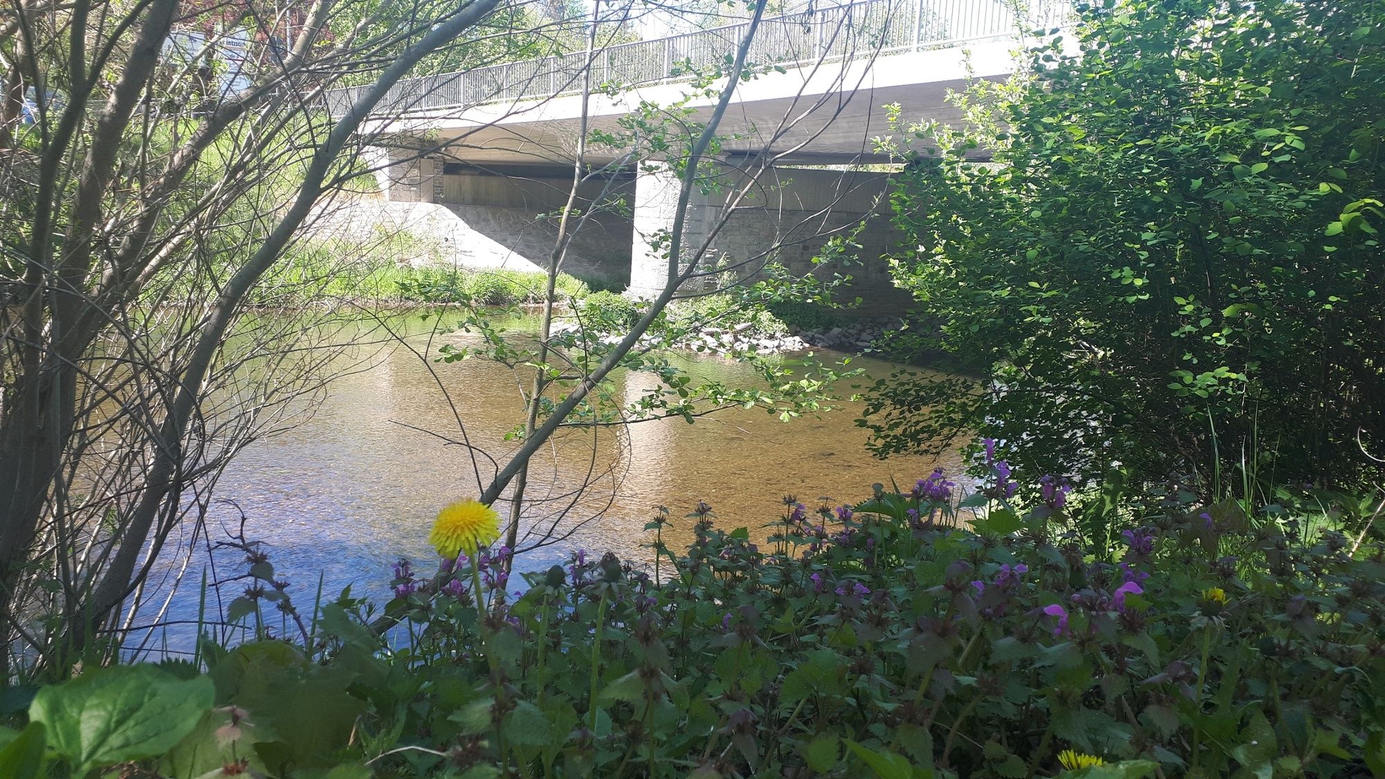
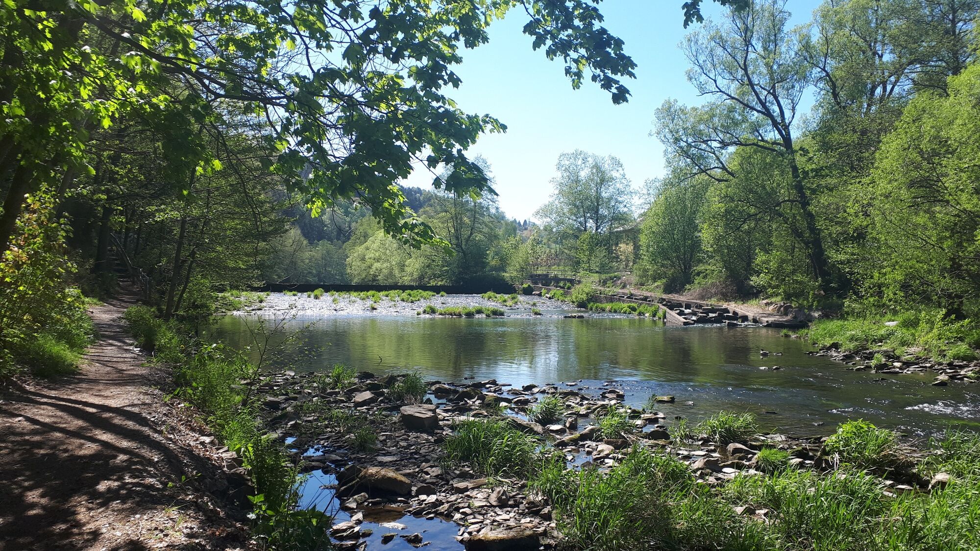
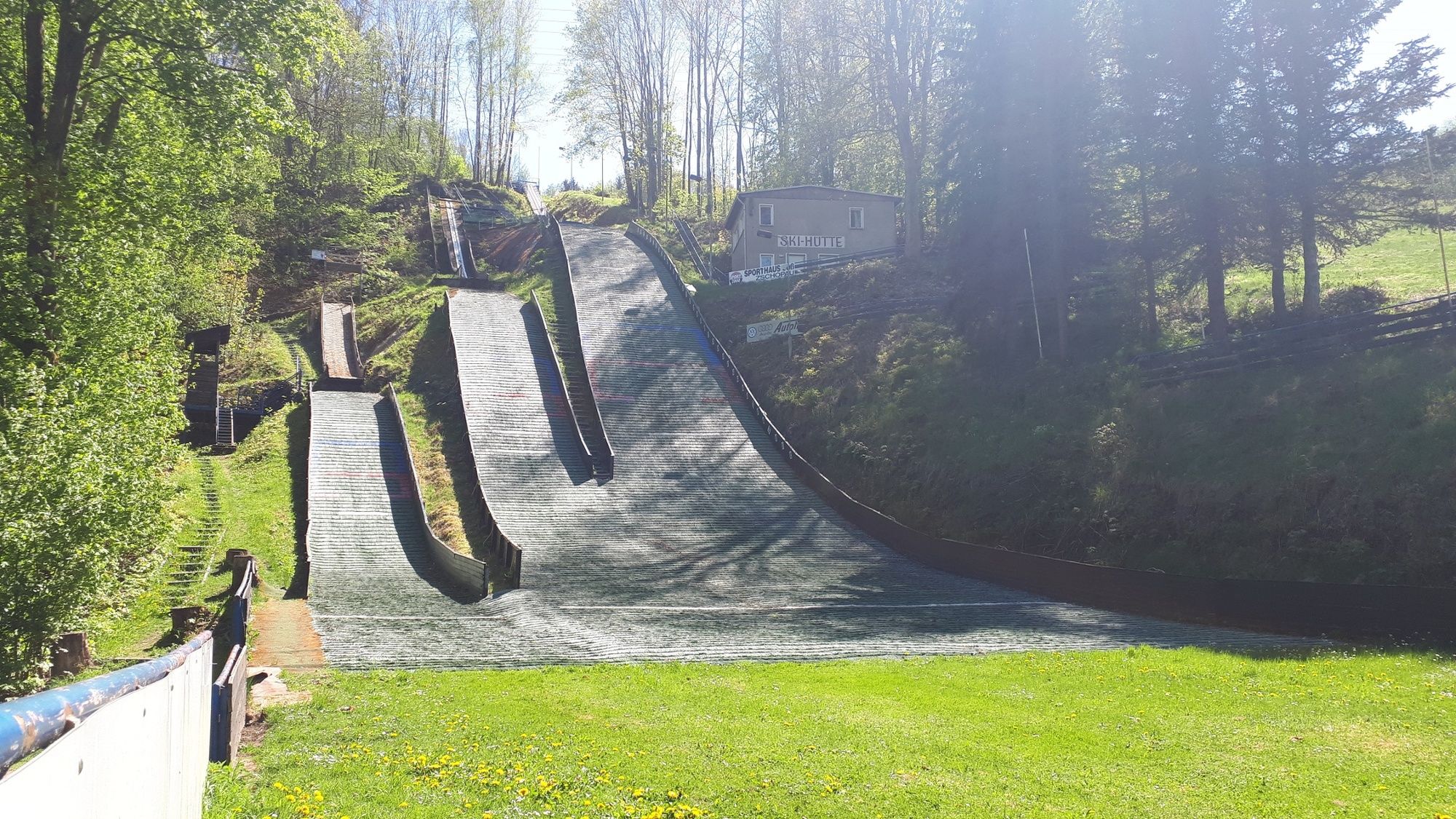
This short tour takes you south of the Zschopau over hill and dale, past witnesses of medieval mining and along the Zschopau.
- Difficoltà
-
facile
- Valutazione
-
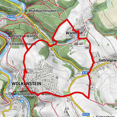
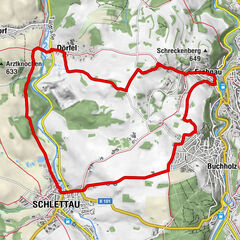
- Percorso
-
Zschopau
- La stagione migliore
-
genfebmaraprmaggiulugagosetottnovdic
- Punto più alto
- 407 m
- Destinazione
-
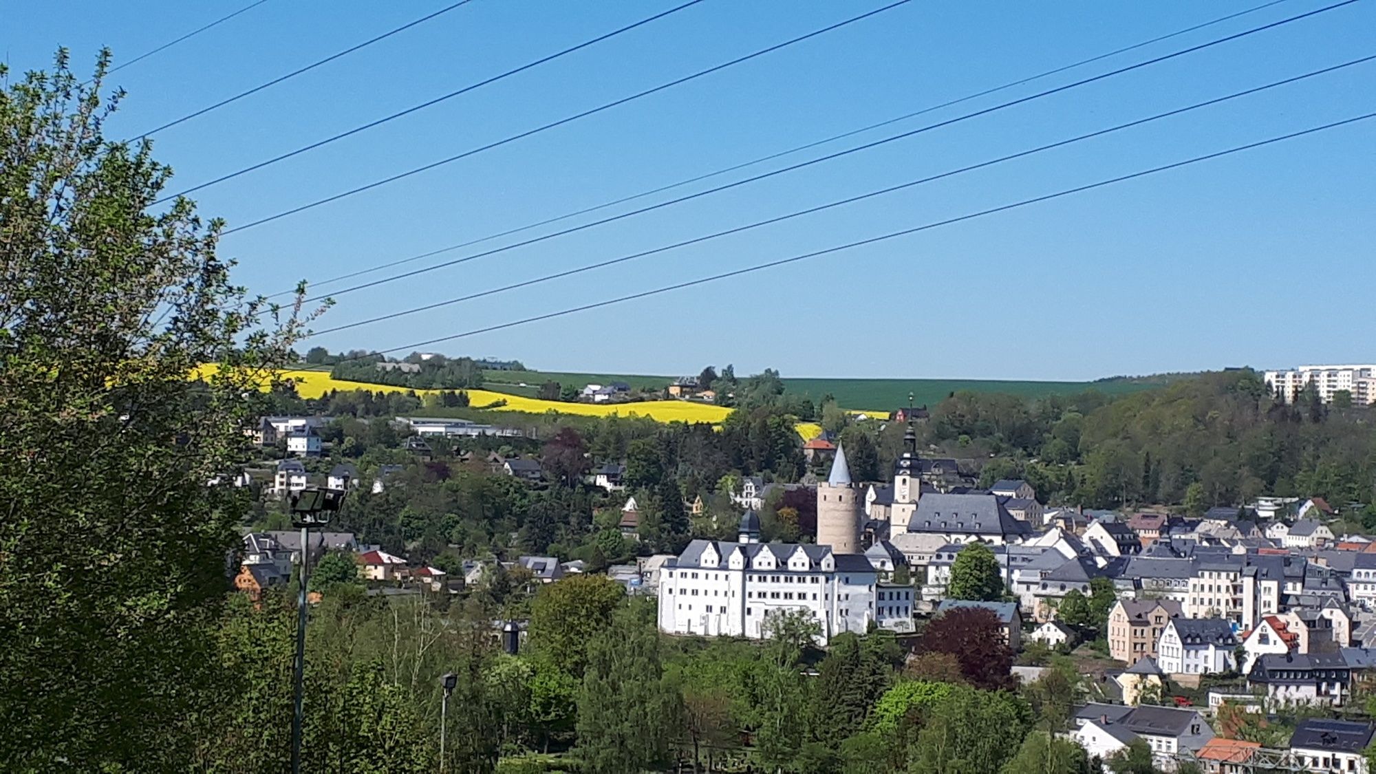
Castle Wildeck, Zschopau
- Profilo altimetrico
-
 © outdooractive.com
-

-
AutoreIl tour Root path and old mining in Zschopau è utilizzato da outdooractive.com fornito.
GPS Downloads


Info generali
Culturale/Storico
Altri tour nelle regioni
-
Erzgebirge
875
-
Chemnitz
362