TagesTour Kammweg 31 Von Muldenberg über Schöneck nach Klingenthal 20km

Escursionismo
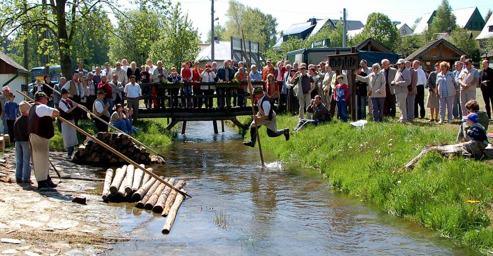
© Flößerverein Muldenberg


- Descrizione rapida
-
Bahnhof Schöneck IFA Ferienpark (gelb) – Tannenhaus – Kirchsteig – Flößweg (grün) – Kottenheide (blau)/ Richtung Brunndöbra – Höhenmarke 808m – Vogtland Arena – Brunndöbra (grün) – Klingenthal / Alberthöhe (rot) – Rundkirche – Bahnhof Klingenthal
- Percorso
-
MuldenbergZur Talsperre0,4 kmTannenhaus7,0 kmKottenheide10,5 kmSankt Anlauf15,3 kmBrunndöbra16,3 kmKlingenthal18,8 km
- La stagione migliore
-
genfebmaraprmaggiulugagosetottnovdic
- Punto più alto
- 799 m
- Destinazione
-
Bahnhof Klingenthal
- Profilo altimetrico
-
 © outdooractive.com

-

-
AutoreIl tour TagesTour Kammweg 31 Von Muldenberg über Schöneck nach Klingenthal 20km è utilizzato da outdooractive.com fornito.
GPS Downloads


Info generali
Punto di ristoro
Altri tour nelle regioni
-
Vogtland / Sachsen
695
-
Erzgebirge
407
-
Schöneck
170


