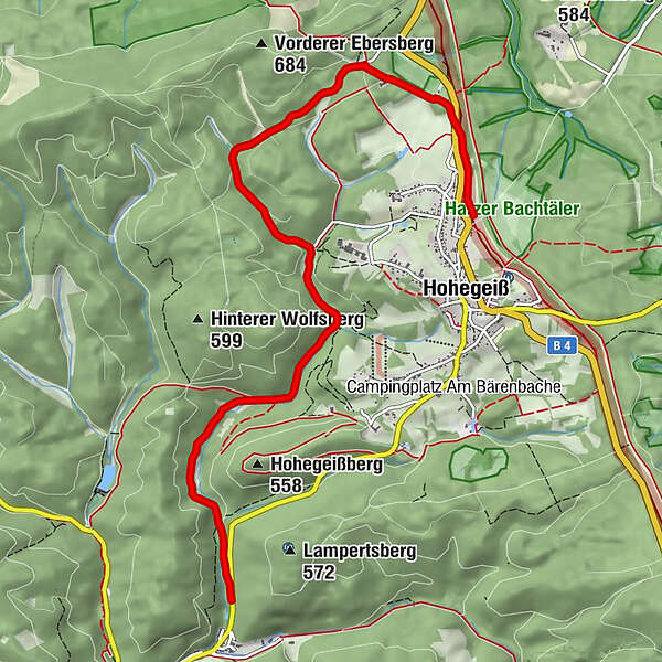
Hohegeiß - Bechlerstein - Wolfsbachtal - Zorge

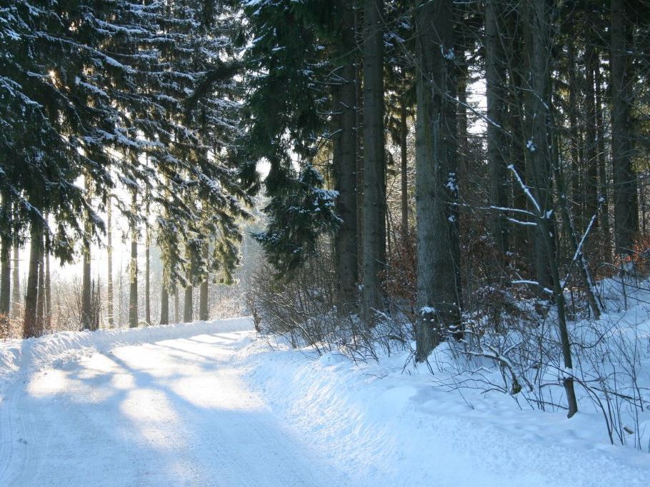
Escursioni invernali

© Unbekannt
- Descrizione rapida
-
Eine Streckenwanderung von ca. 8 km Länge mit einem Höhenunterschied von etwa 300 m, sacht abfallend.
- Difficoltà
-
facile
- Valutazione
-
- La stagione migliore
-
agosetottnovdicgenfebmaraprmaggiulug
- Punto più alto
- 603 m
- Destinazione
-
Zorge
- Profilo altimetrico
-
 © outdooractive.com
-

-
AutoreIl tour Hohegeiß - Bechlerstein - Wolfsbachtal - Zorge è utilizzato da outdooractive.com fornito.
GPS Downloads


Info generali
Punto di ristoro
Flora
Altri tour nelle regioni
-
Der Harz/ Thüringen
26
-
Oberharz
28
-
Zorge
6


