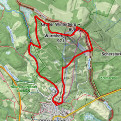
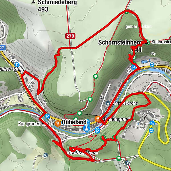
Circular route around the cave town of Rübeland (HWN 88 & 89)

Escursionismo

© Tourismusbetrieb der Stadt Oberharz am Brocken - @ Jan Reichel

© Tourismusbetrieb der Stadt Oberharz am Brocken - Mandy Leonhardt

© Tourismusbetrieb der Stadt Oberharz am Brocken - @ Mandy Leonhardt

© Tourismusbetrieb der Stadt Oberharz am Brocken - @ Mandy Leonhardt

© Tourismusbetrieb der Stadt Oberharz am Brocken - Mandy Leonhardt

© Tourismusbetrieb der Stadt Oberharz am Brocken - @ Mandy Leonhardt

© Tourismusbetrieb der Stadt Oberharz am Brocken - @ Tourismusbetrieb Oberharz am Brocken

© Tourismusbetrieb der Stadt Oberharz am Brocken - @ Jan Reichel

© Tourismusbetrieb der Stadt Oberharz am Brocken - @ Jan Reichel

© Tourismusbetrieb der Stadt Oberharz am Brocken - @ Mandy Leonhardt

- Descrizione rapida
-
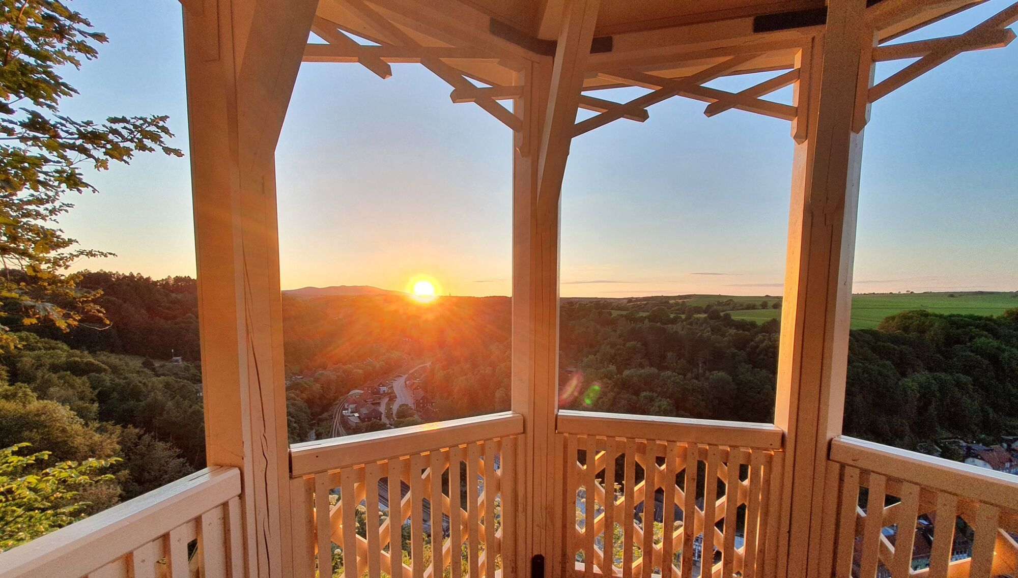
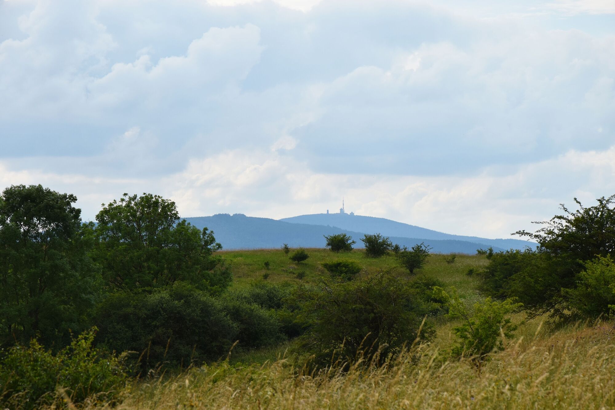
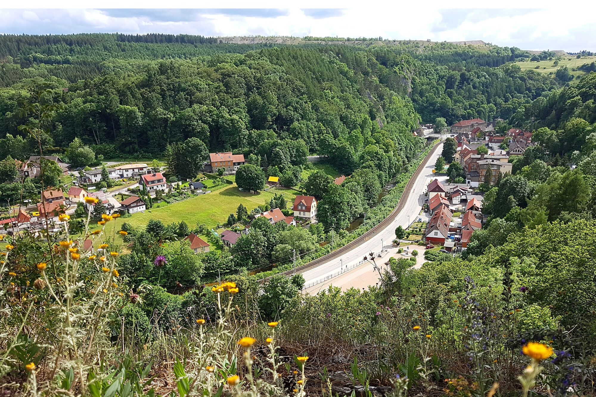
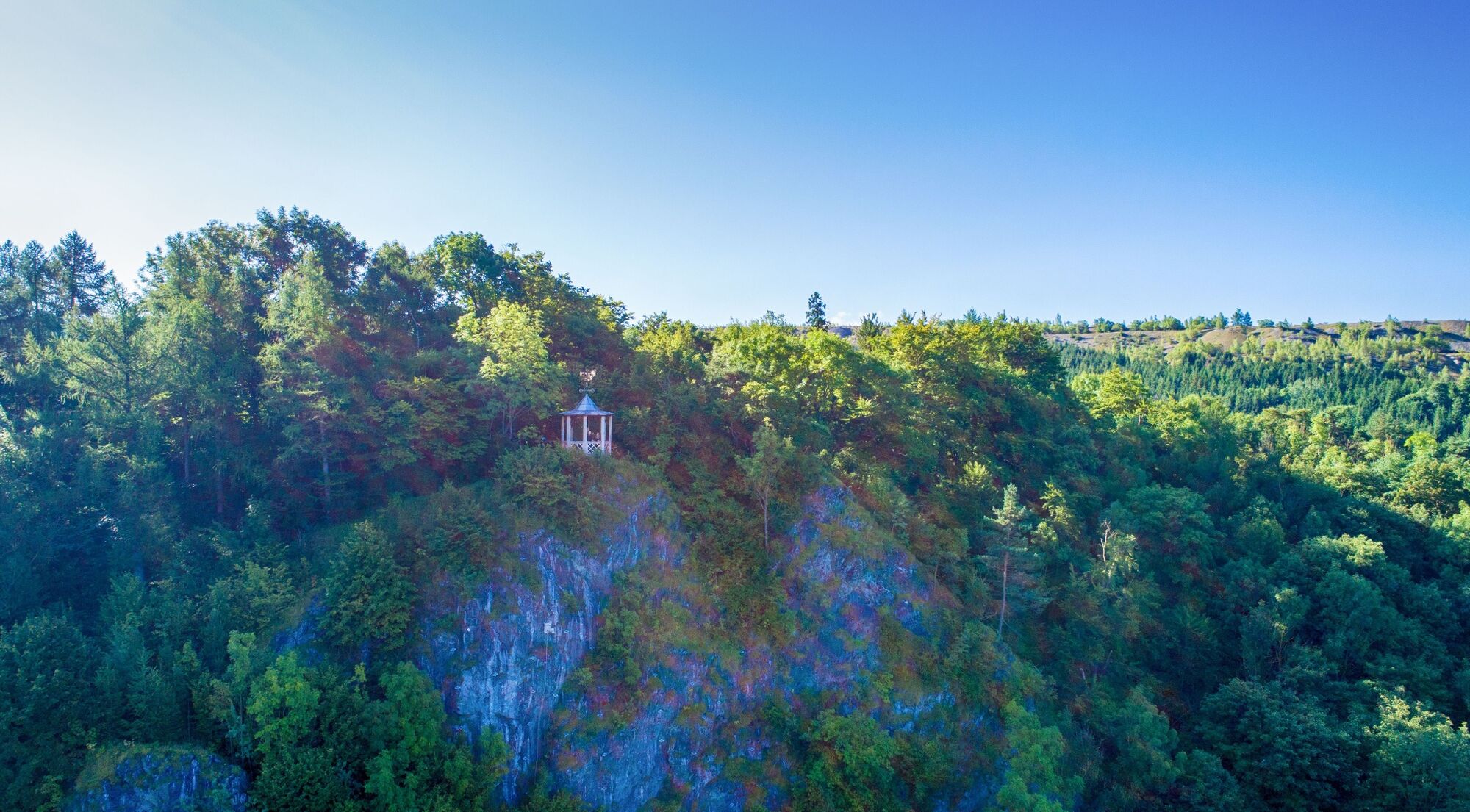
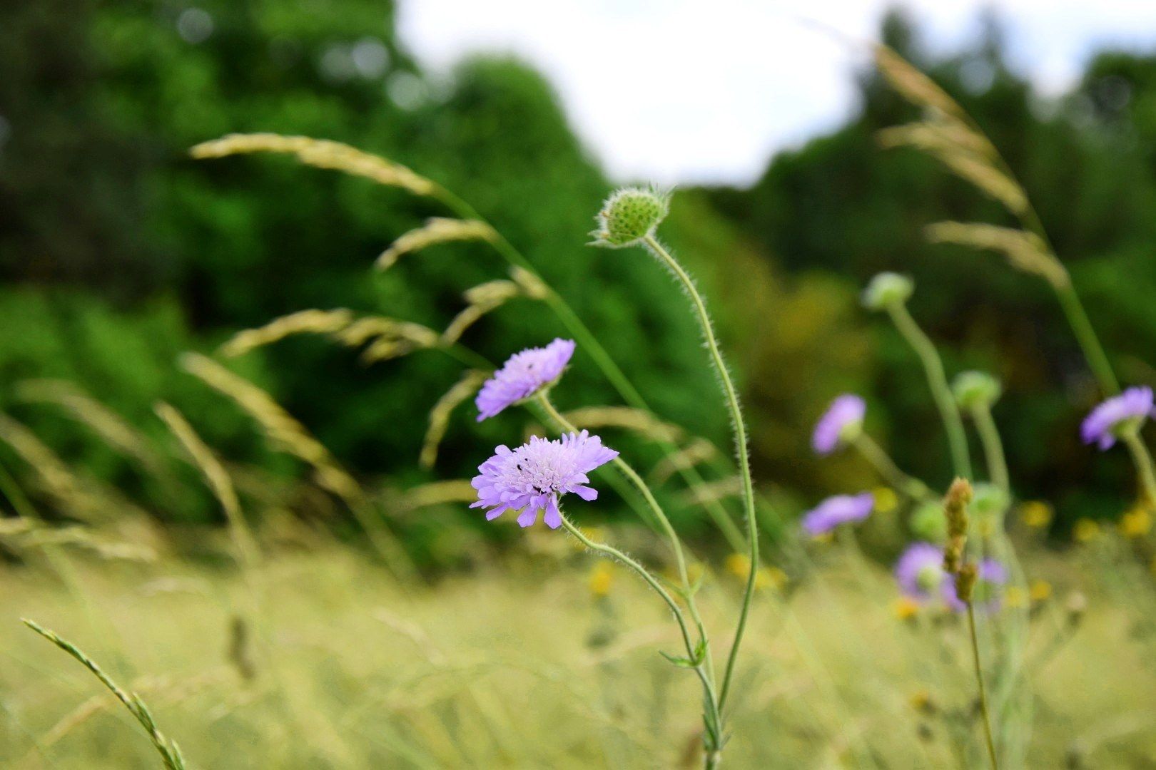
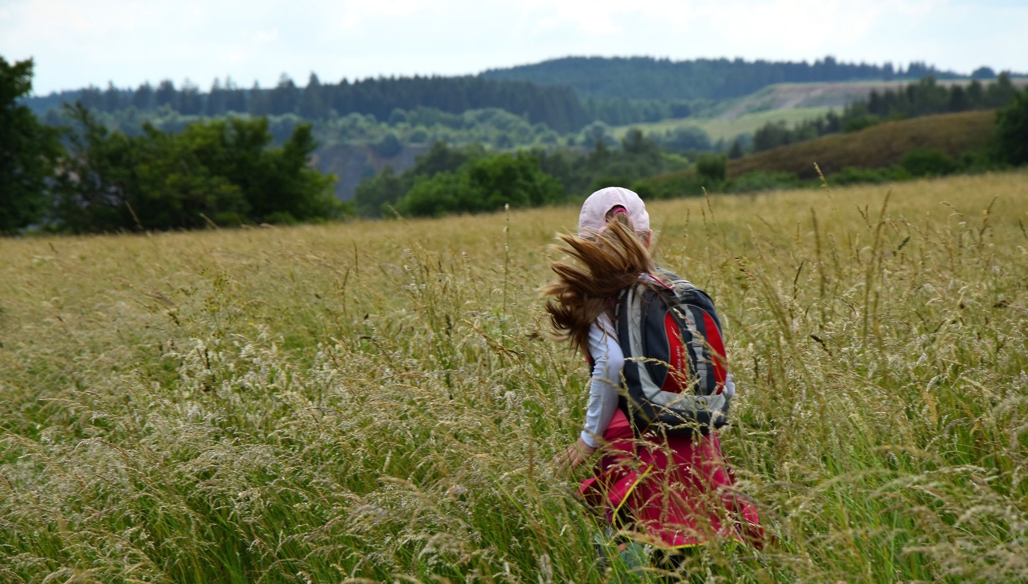
The circular route around the cave site offers great views of the town and the Brocken mountain.
- Difficoltà
-
intermedio
- Valutazione
-
- Percorso
-
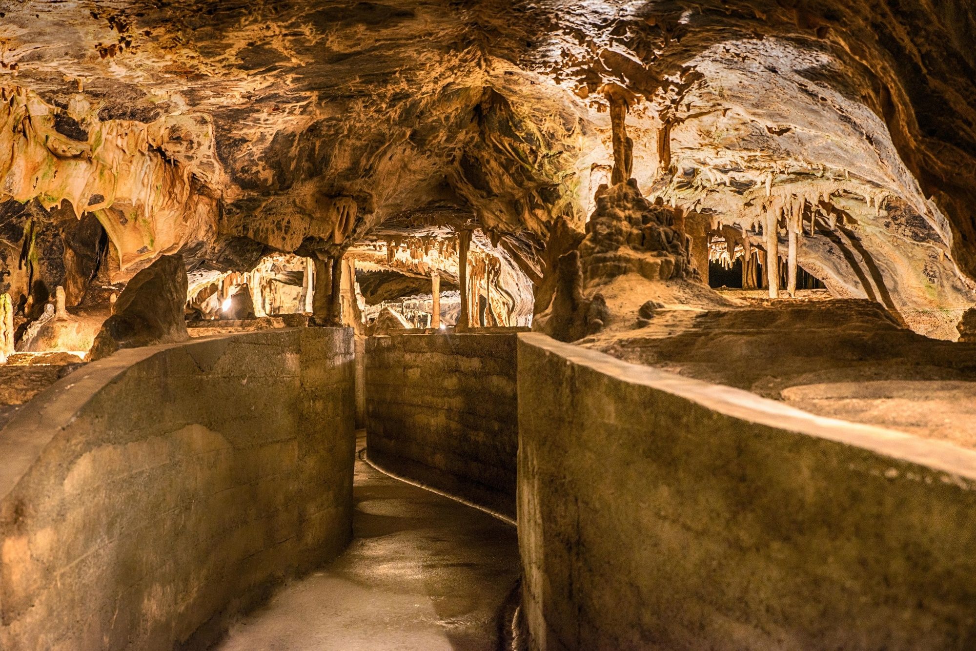
Rübeland0,4 kmAussichtspavillon Hoher Kleef1,6 kmHermannshöhle2,4 kmTannengrund2,6 kmChristuskirche2,7 kmSchornsteinberg (441 m)3,5 km
- La stagione migliore
-
genfebmaraprmaggiulugagosetottnovdic
- Punto più alto
- 466 m
- Destinazione
-
parking spot Mühlental in Rübeland
- Profilo altimetrico
-
 © outdooractive.com

-

-
AutoreIl tour Circular route around the cave town of Rübeland (HWN 88 & 89) è utilizzato da outdooractive.com fornito.
GPS Downloads


Info generali
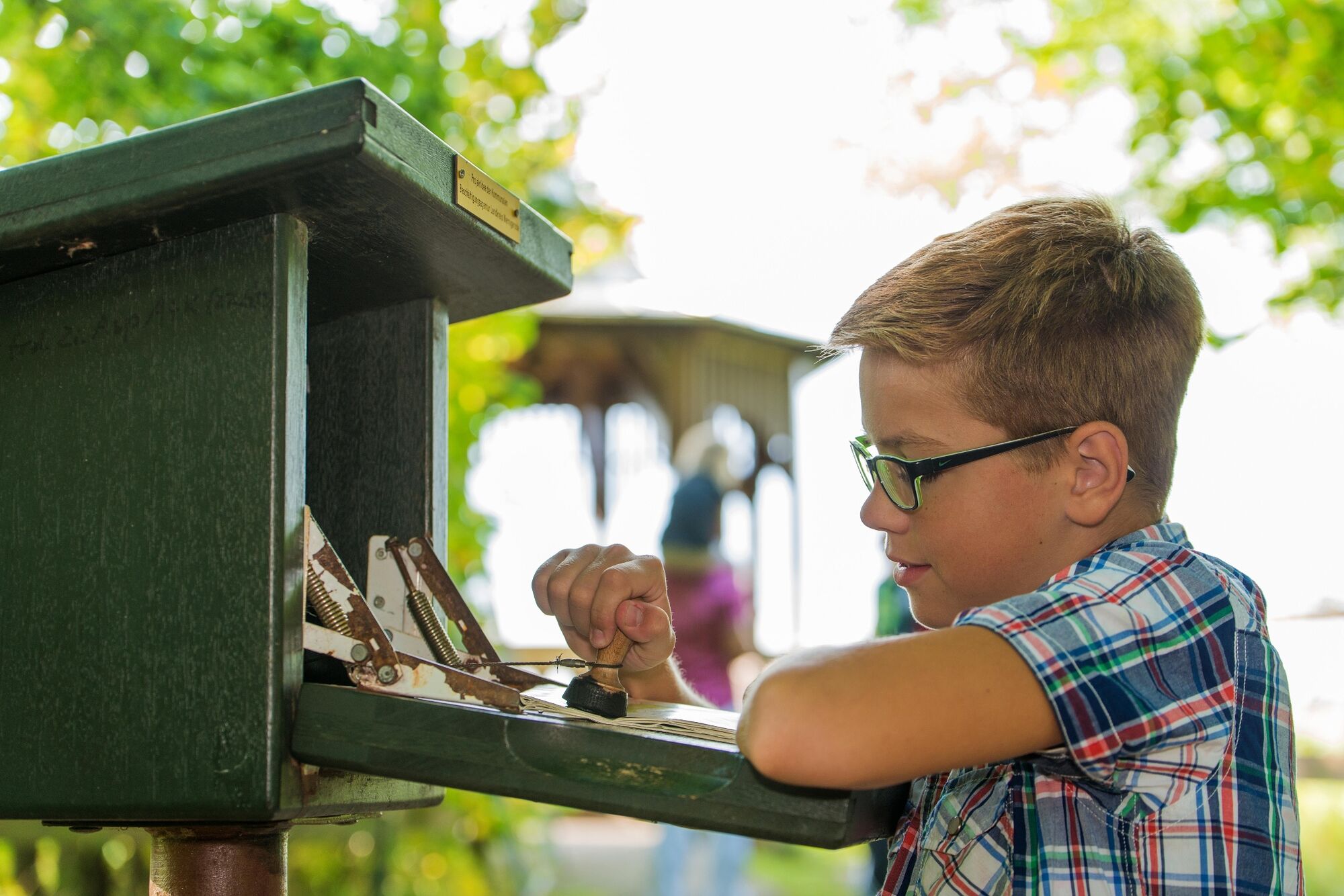
Punto di ristoro
Promettente
Altri tour nelle regioni
-
Der Harz/ Sachsen-Anhalt
864
-
Bodetal
618
-
Rübeland
264