© Projektbüro Saar-Hunsrück-Steig, Klaus-Peter Kappest

© Projektbüro Saar-Hunsrück-Steig, Klaus-Peter Kappest

© Projektbüro Saar-Hunsrück-Steig, Klaus-Peter Kappest

© Martin Wolsdorfer

© Tourismus Zentrale Saarland, Frank Polotzek

- Descrizione rapida
-
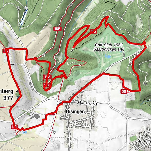
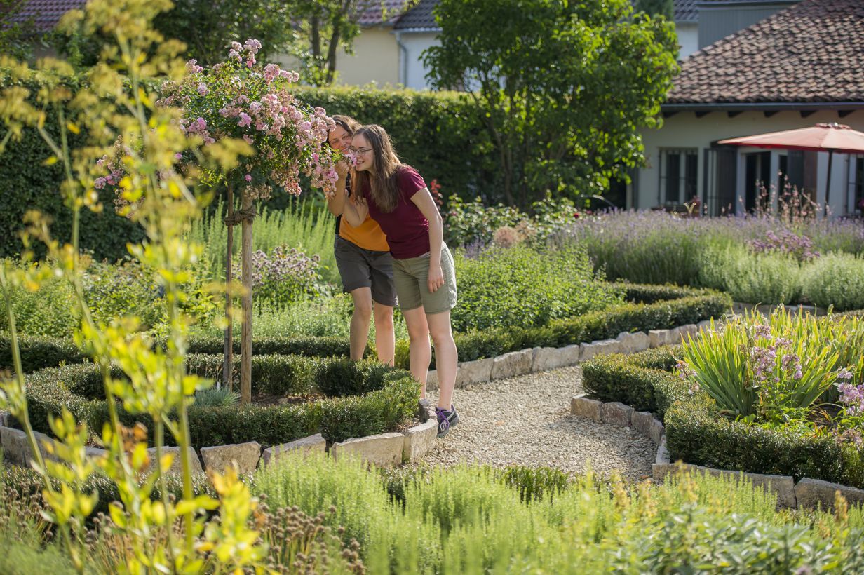
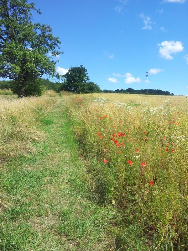
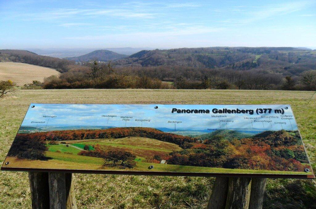
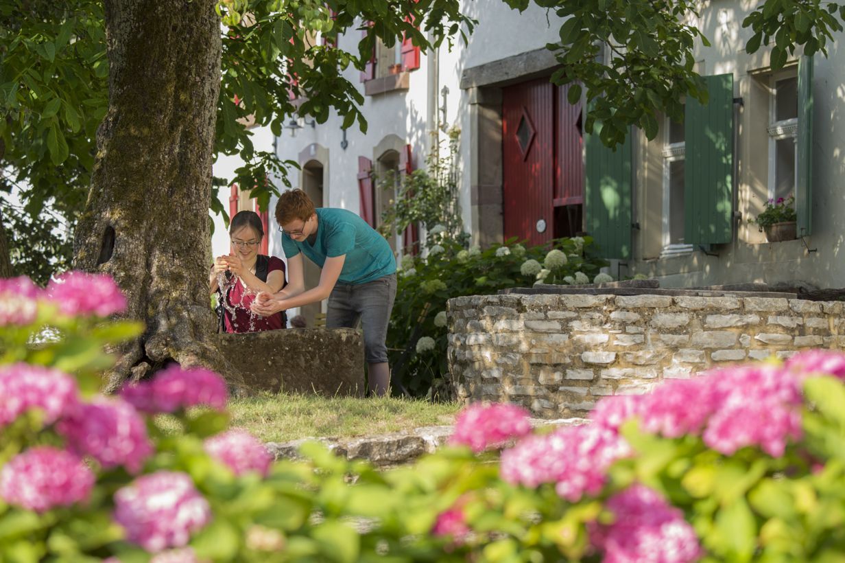
This trail called `Gisinger` after the village of Gisingen treats hikers to wonderful panoramic views of the Saargau region, the Saar valley and the Lorraine region. On this varied hike, ramblers can discover Gisingen and its surrounding cultural monuments as well as rugged valleys and rock formations, open meadows and large forests.
- Difficoltà
-
intermedio
- Valutazione
-
- Percorso
-
GisingenGallenberg (377 m)1,9 kmBlick auf Siersburg8,1 kmGisingen10,5 kmTratoria da Michele10,7 km
- La stagione migliore
-
genfebmaraprmaggiulugagosetottnovdic
- Punto più alto
- 375 m
- Destinazione
-
Kirmesplatz Gisingen, Gaustr. 46, 66798 Gisingen-Wallerfangen
- Profilo altimetrico
-
 © outdooractive.com
- Autore
-
Il tour Gisinger è utilizzato da outdooractive.com fornito.
GPS Downloads


Info generali
Promettente