© Achim Später

© Tourismus Zentrale Saarland, Frank Polotzek

© Tourismus Zentrale Saarland, Frank Polotzek

© Tourismus Zentrale Saarland, Frank Polotzek

© Tourismus Zentrale Saarland, Frank Polotzek

- Descrizione rapida
-
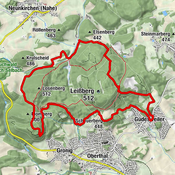
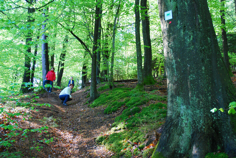
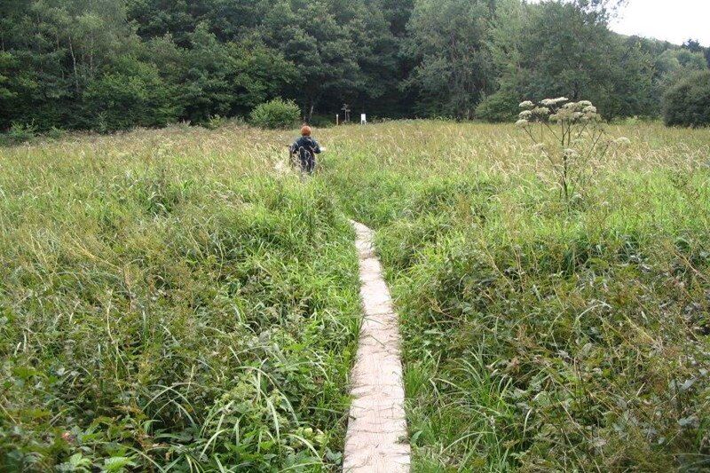
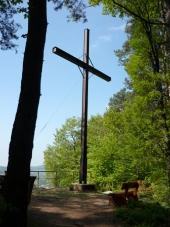
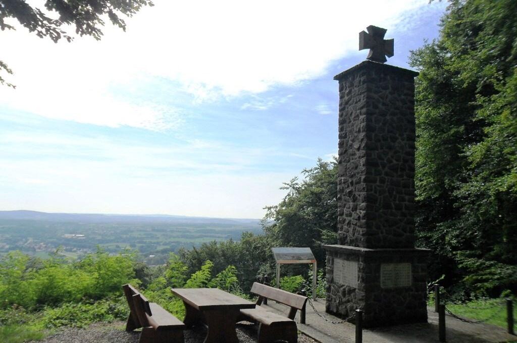
This Trail leads through dense forests and the mystical moorlands of ‘Oberthaler Bruch‘. The Rötelstein path offers lots of picturesque views on the Nahe river and passes by relics from distant pasts.
- Difficoltà
-
intermedio
- Valutazione
-
- Percorso
-
Christkönig1,0 kmGüdesweiler1,1 kmScheuerberg (448 m)2,8 kmMomberg6,6 kmNohmühle11,1 kmDer Gute Brunnen14,3 kmValentinskapelle14,3 km
- La stagione migliore
-
genfebmaraprmaggiulugagosetottnovdic
- Punto più alto
- 489 m
- Destinazione
-
Wanderplatz Güdesweiler 66649 Oberthal-Güdesweiler
- Profilo altimetrico
-
 © outdooractive.com


- Autore
-
Il tour Rötelstein Path è utilizzato da outdooractive.com fornito.
GPS Downloads


Info generali
Punto di ristoro
Culturale/Storico
Promettente
Altri tour nelle regioni