© Saarschleifenland Tourismus GmbH, Klaus-Peter Kappest

© Tourismus Zentrale Saarland, Eike Dubois

© Saarland

© Tourismus Zentrale Saarland, Frank Polotzek

© Tourismus Zentrale Saarland, Frank Polotzek

© Tourismus Zentrale Saarland, Marcus Gloger

© Saarschleifenland Tourismus GmbH, Klaus-Peter Kappest


- Descrizione rapida
-
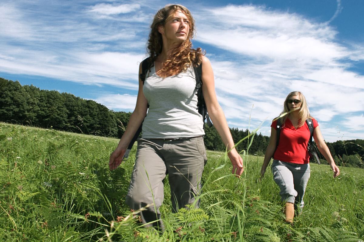
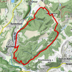
The ‘Hochwälder’ is one of the dream routes in the Saar Hunsrück region and largely runs parallel to the ‘Stausee-Tafeltour‘, the Saar-Hunsrück trail and the ‘Bergener‘ trail. It is characterised by varied forest stretches including lovely clearings and idyllic creek valleys.
- Difficoltà
-
intermedio
- Valutazione
-
- Percorso
-
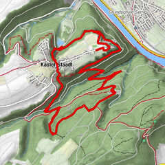
Losheim am SeeAussichtspunkt Birkenhain3,8 kmSeeGartenBistro8,8 kmSeehotel Losheim9,1 kmLosheim am See9,3 km
- La stagione migliore
-
genfebmaraprmaggiulugagosetottnovdic
- Punto più alto
- 429 m
- Destinazione
-
Tourist-Info am Stausee Losheim; Zum Stausee 198, 66679 Losheim
- Profilo altimetrico
-
 © outdooractive.com


- Autore
-
Il tour ‘Der Hochwälder‘ è utilizzato da outdooractive.com fornito.
GPS Downloads


Info generali
Punto di ristoro
Flora
Promettente
Altri tour nelle regioni
-
Hochwald Ferienland
380
-
Merzig
77


")