© Saarpfalz-Touristik, Manuela Meyer

© Saarpfalz-Touristik, Manuela Meyer

© Saarpfalz-Touristik, Manuela Meyer

© Saarpfalz-Touristik, Manuela Meyer

© Saarpfalztouristik - Manuela Meyer

© Saarpfalz-Touristik, Wolfgang Henn

© Saarpfalztouristik - Manuela Meyer

© Violas Wunderwald, Julia Schaller - Julia Schaller

- Descrizione rapida
-
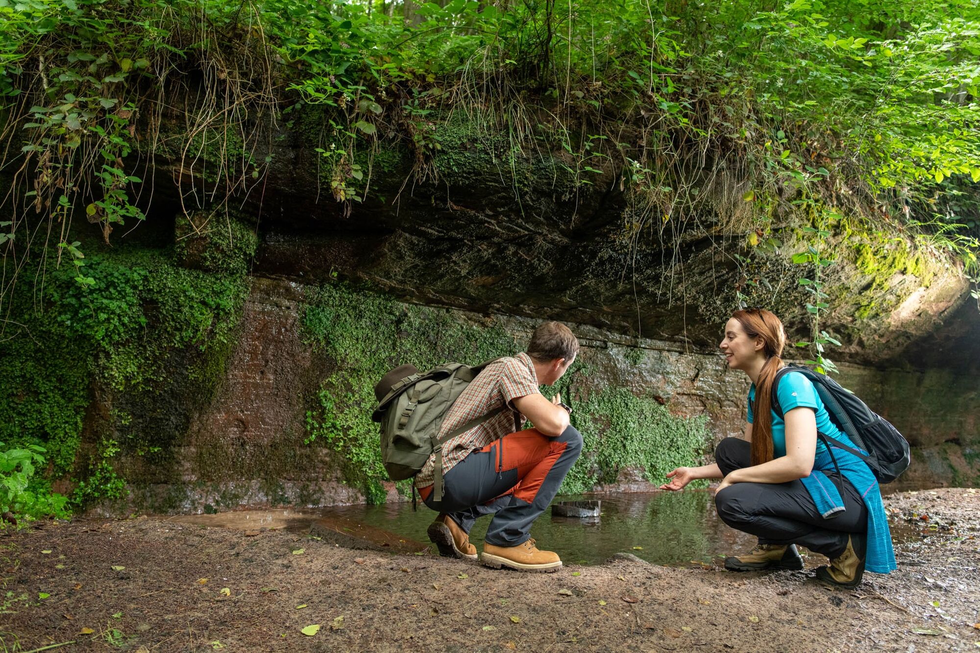
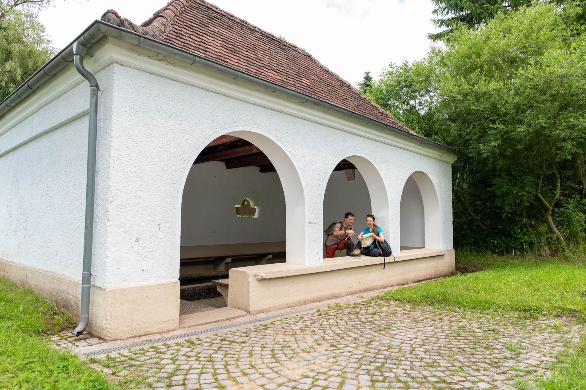
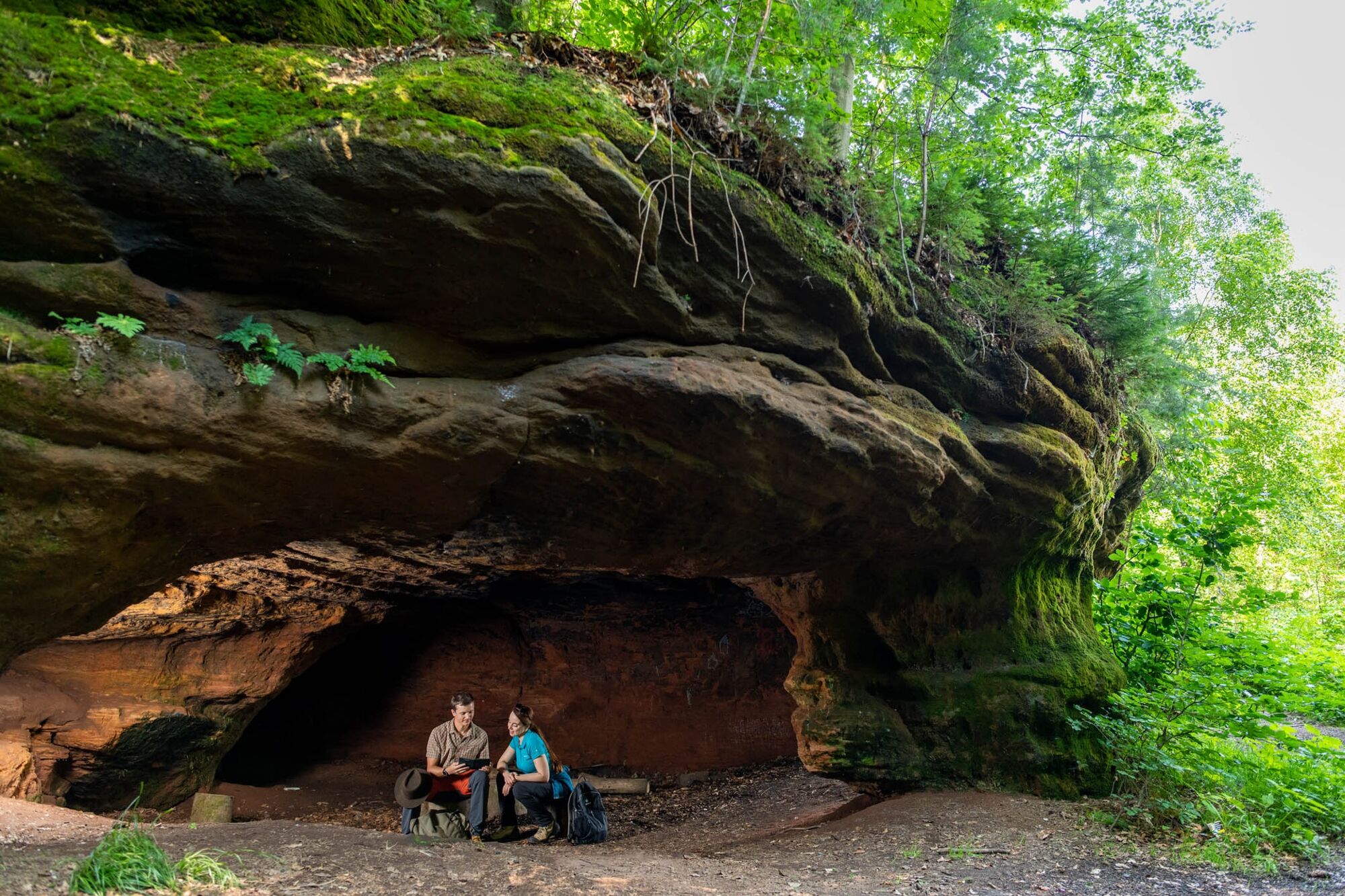
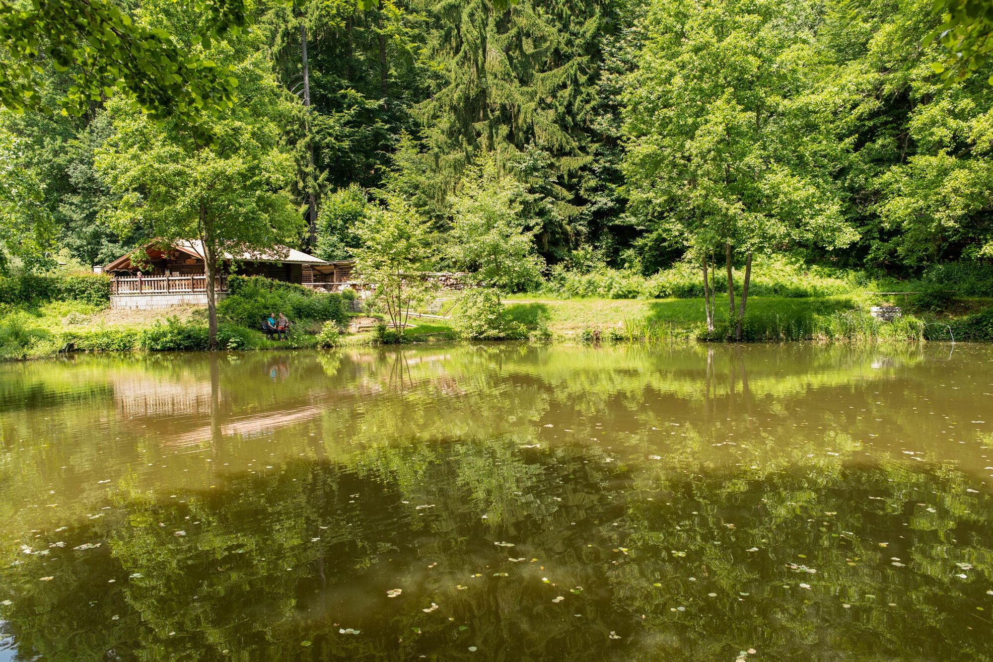
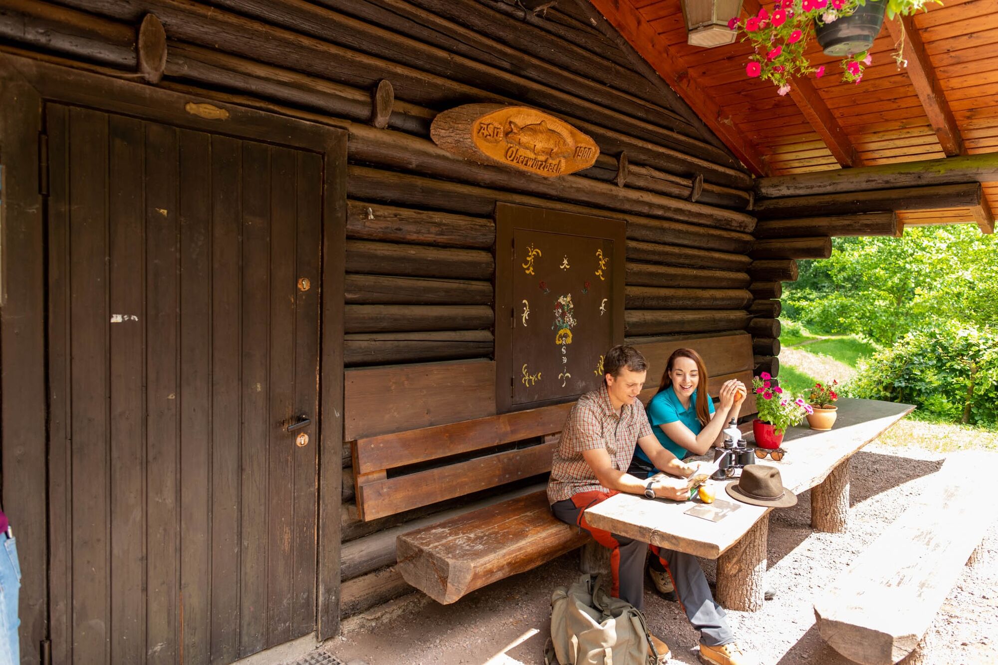
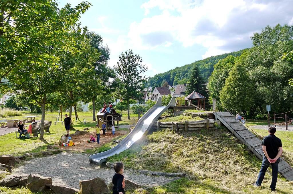
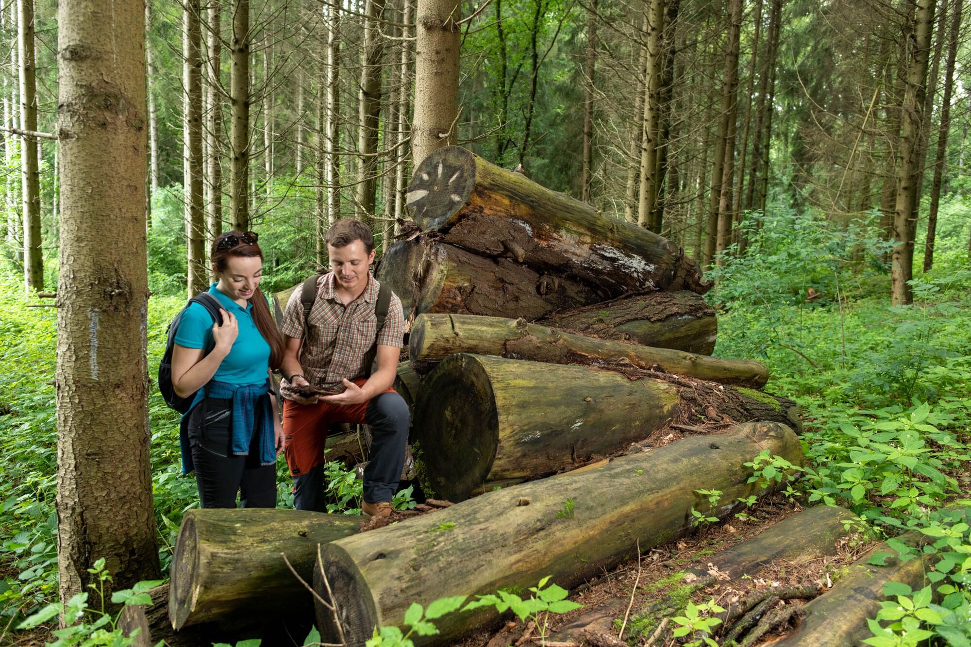
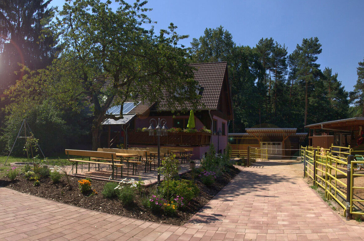
This hiking trail is an interesting and challenging loop with lots of nice possibilities to stop for refreshments. Apart from nature and a mix of forest, field and meadow paths, the characteristic feature are altogether five huts lining the route.
- Difficoltà
-
intermedio
- Valutazione
-
- Percorso
-
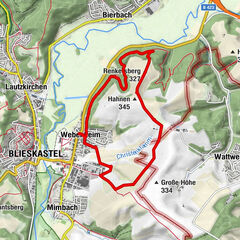
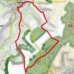
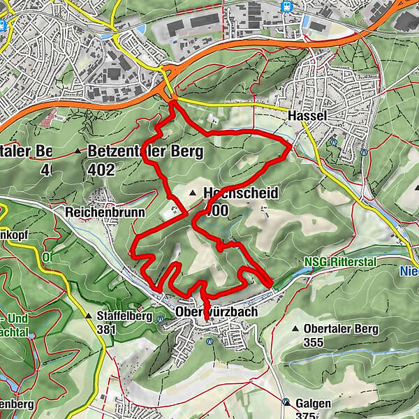
Oberwürzbach0,0 kmKornackerbrunnen2,1 kmEichertsfelshöhle2,6 kmSt. Ingbert (229 m)6,5 kmChristkönigsbrunnen7,1 kmWeidenberg (385 m)8,8 kmReichenbrunn9,0 kmRothsolig-Brunnen10,0 kmWanderhütte "Frohsinn"11,0 kmOberwürzbach11,8 km
- La stagione migliore
-
genfebmaraprmaggiulugagosetottnovdic
- Punto più alto
- 390 m
- Destinazione
-
Oberwürzbachhalle in St. Ingbert-Oberwürzbach, Hauptstraße 82, 66386 St. Ingbert (hier: Unterstand DORFMITTE AM BACH)
- Profilo altimetrico
-
 © outdooractive.com
- Autore
-
Il tour Huts Hiking Trail è utilizzato da outdooractive.com fornito.
GPS Downloads


Info generali
Punto di ristoro
Altri tour nelle regioni