Neustadt / Wstr. - Rundwanderweg Weinbiet - Wolfsburg

Escursionismo


- Descrizione rapida
-
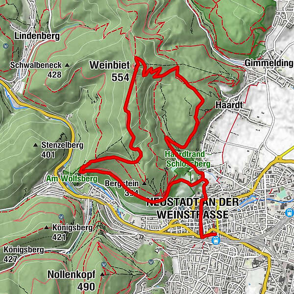
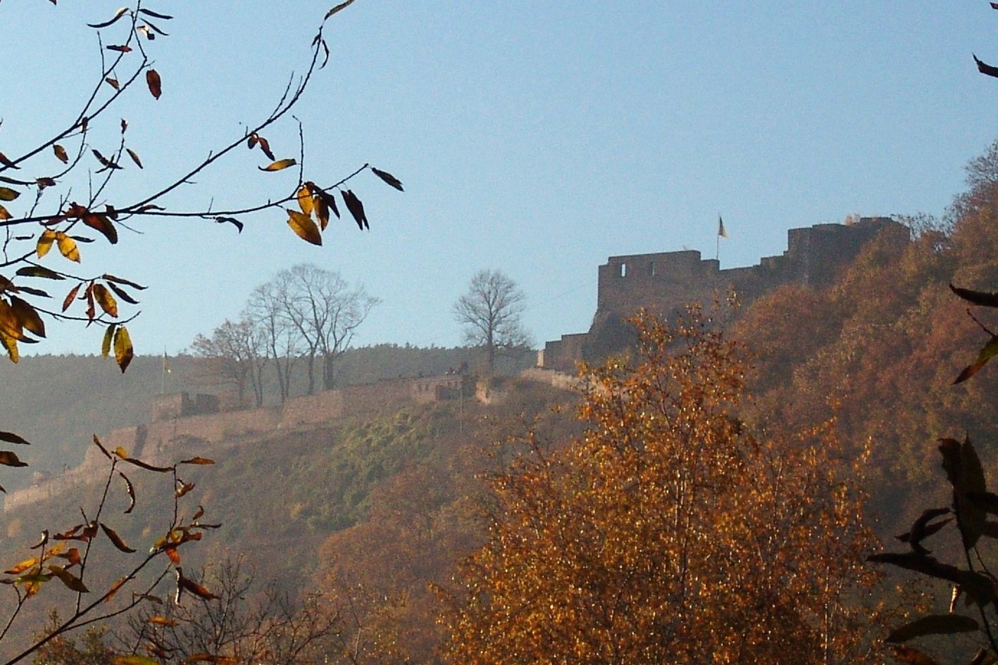
Der Rundwanderweg Weinbiet – Wolfsburg führt uns von Neustadt an der Weinstraße bis hinauf auf einen der höchsten Berge im Pfälzerwald, den Weinbiet und zur Ruine Wolfsburg.
- Difficoltà
-
intermedio
- Valutazione
-
- Percorso
-
Neustadt an der Weinstraße (136 m)0,7 kmWeinbiet (550 m)6,0 kmWaldgaststätte Weinbiethaus6,1 kmWolfsbrunnen (260 m)9,3 km
- La stagione migliore
-
genfebmaraprmaggiulugagosetottnovdic
- Punto più alto
- 541 m
- Profilo altimetrico
-
 © outdooractive.com
- Autore
-
Il tour Neustadt / Wstr. - Rundwanderweg Weinbiet - Wolfsburg è utilizzato da outdooractive.com fornito.
GPS Downloads


Info generali
Punto di ristoro
Culturale/Storico
Promettente
Altri tour nelle regioni
-
Pfalz
1511
-
Deutsche Weinstraße
600
-
Neustadt an der Weinstraße
386