© Naheland-Touristik GmbH - P. Bender
© Naheland-Touristik GmbH - P. Bender
© Naheland Touristik GmbH - P. Bender
© Naheland-Touristik GmbH - P. Bender
© Naheland-Touristik GmbH - P. Bender
© 3x3 Salinental - Michael Vesper
© 3x3 Salinental - Michael Vesper
© 3x3 Salinental - Matthias Luhn

© 3x3 Salinental - König
© 3x3 Salinental - Michael Vesper
- Descrizione rapida
-
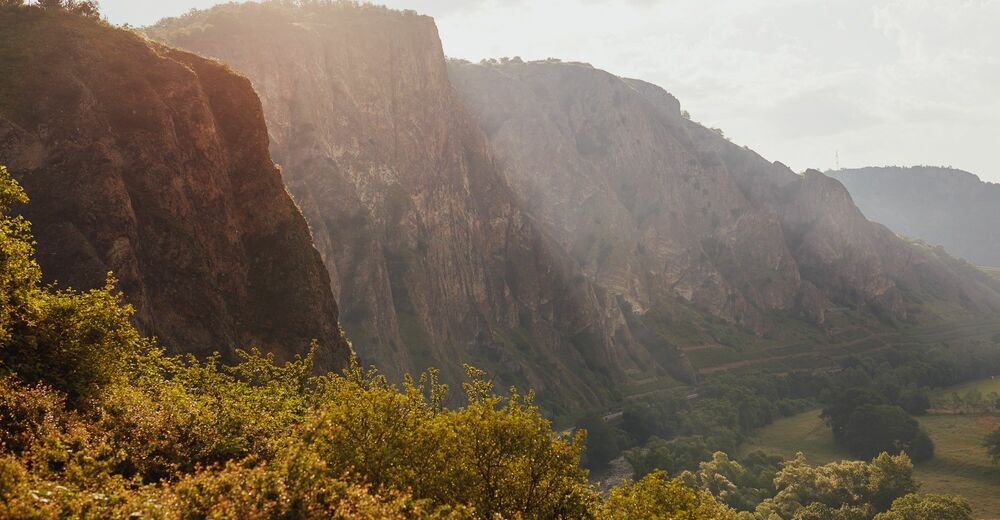
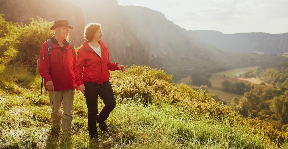
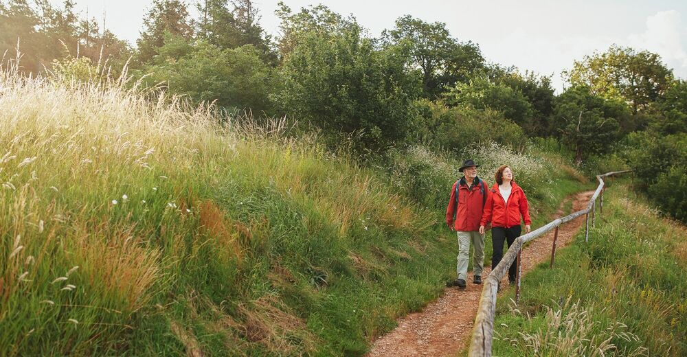
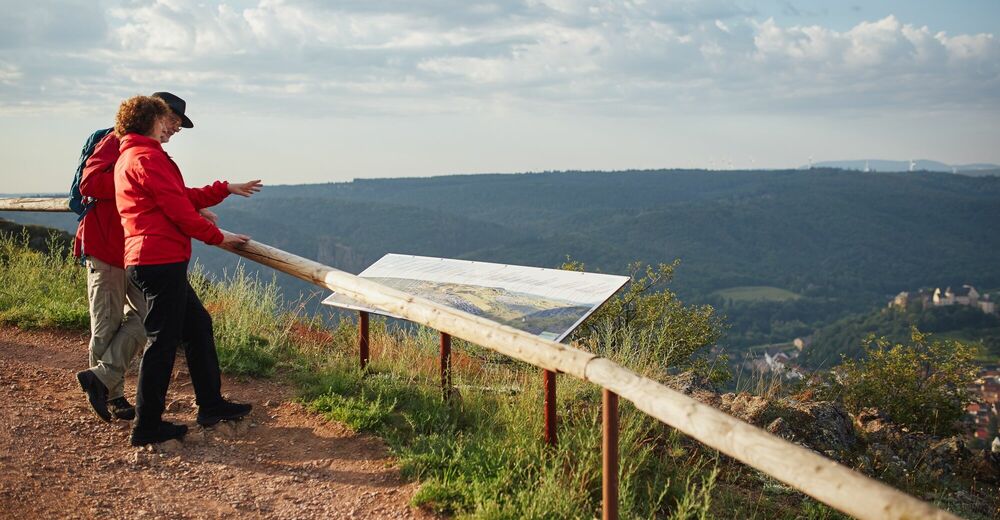
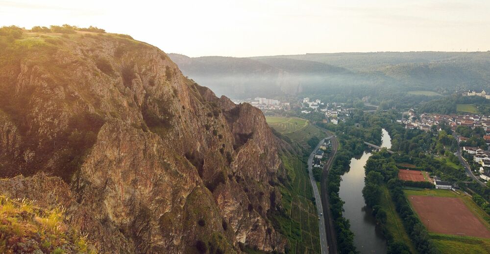
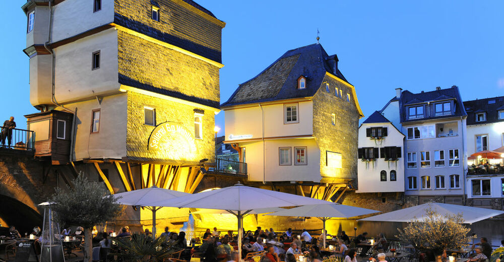
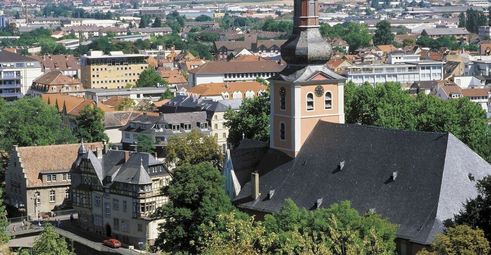
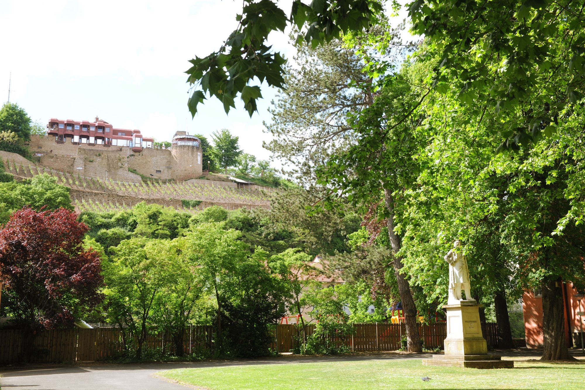
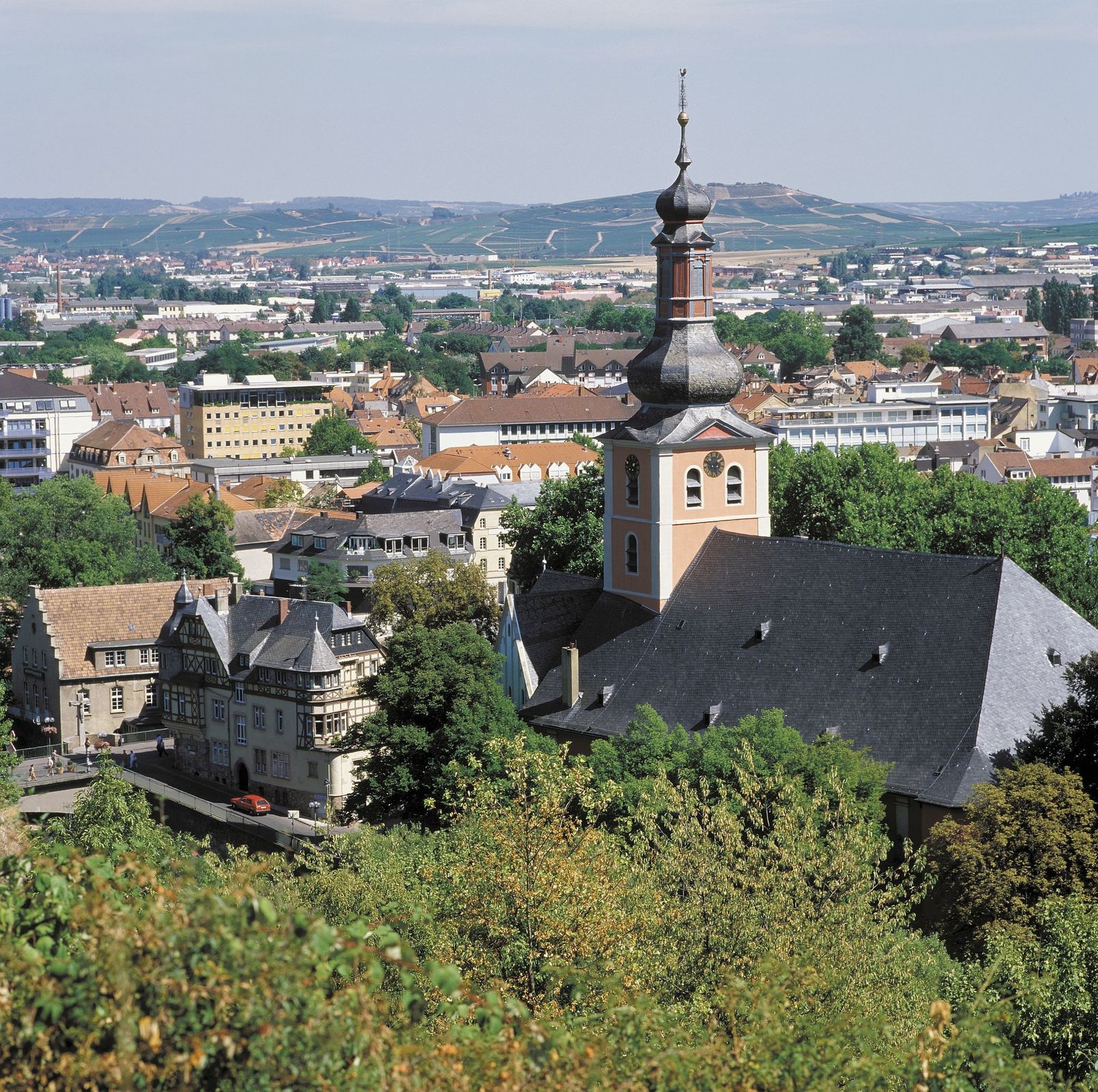
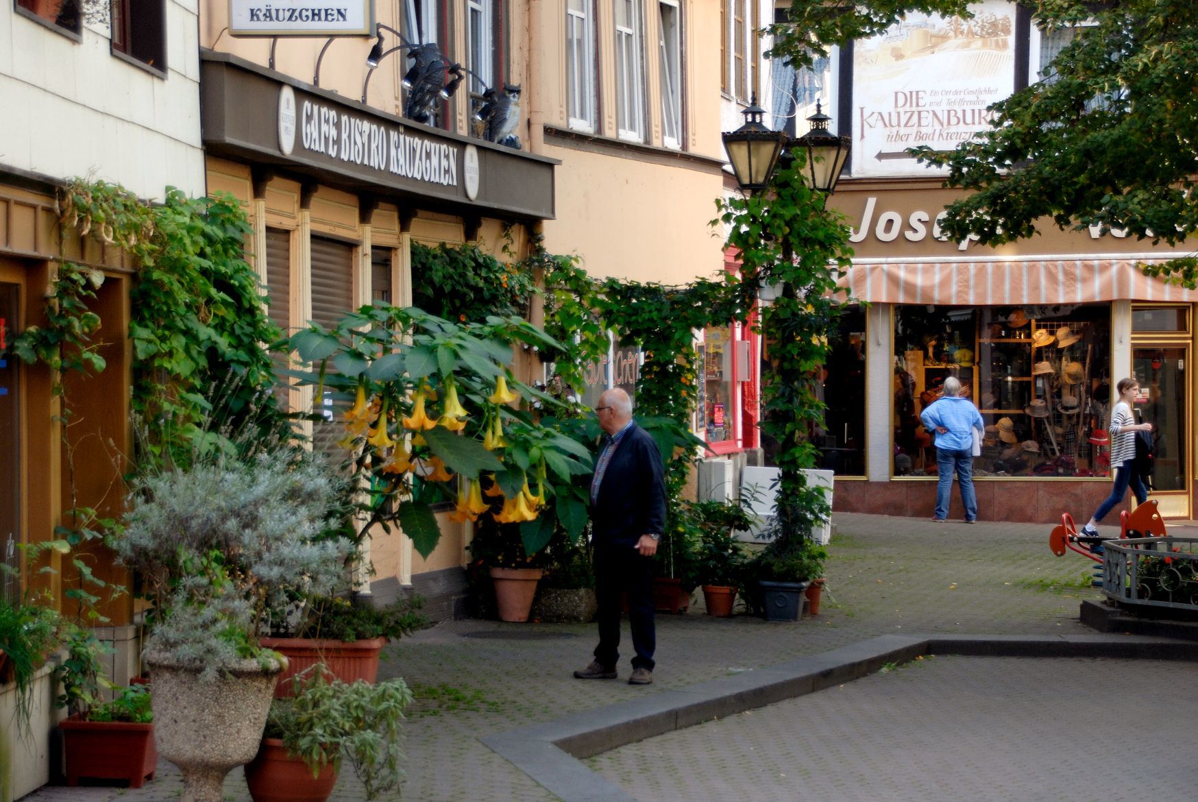
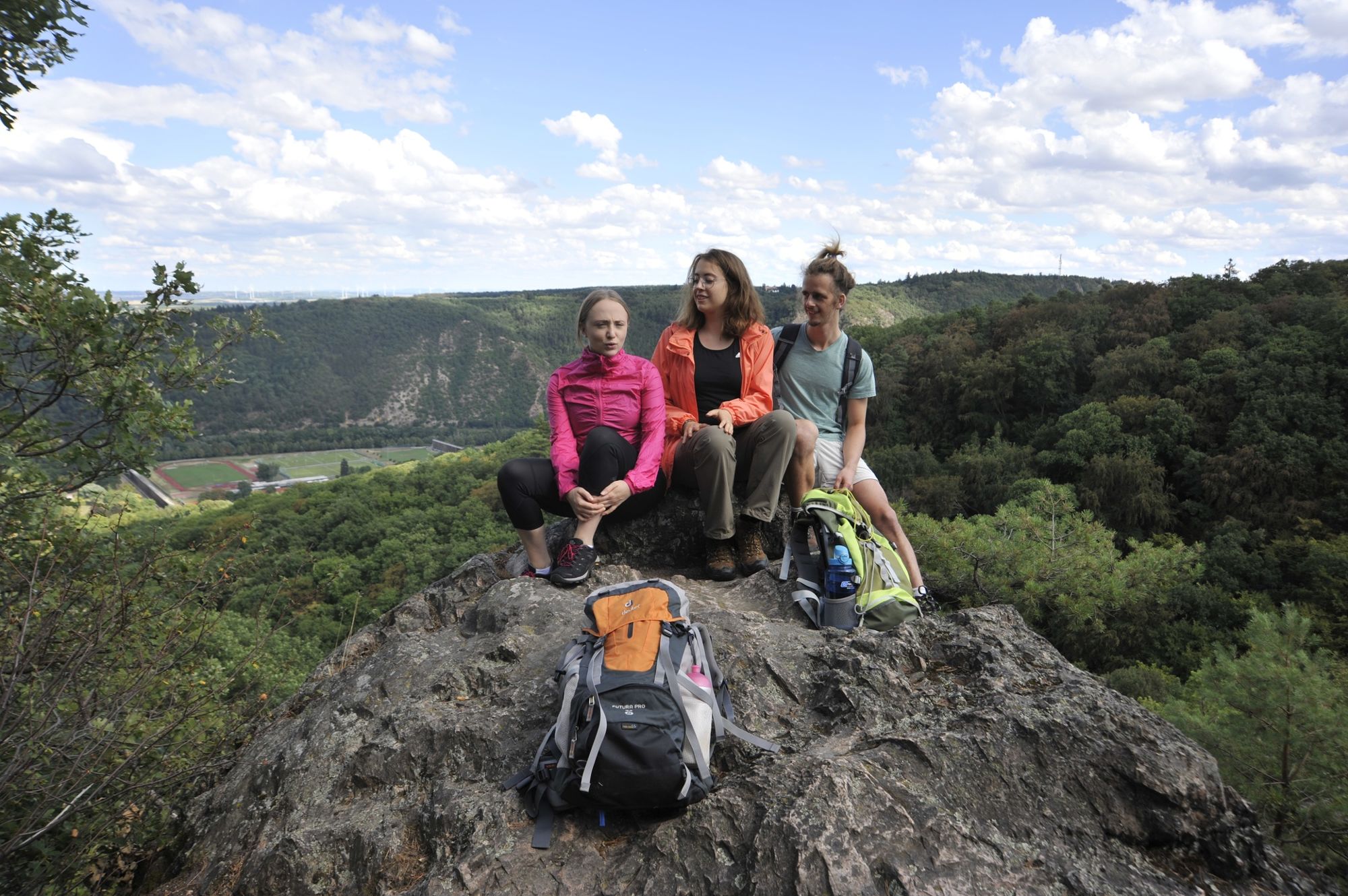
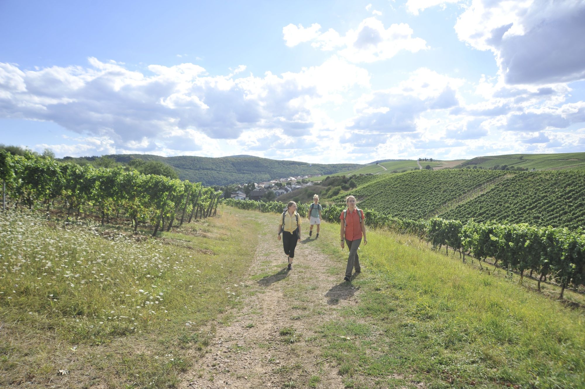
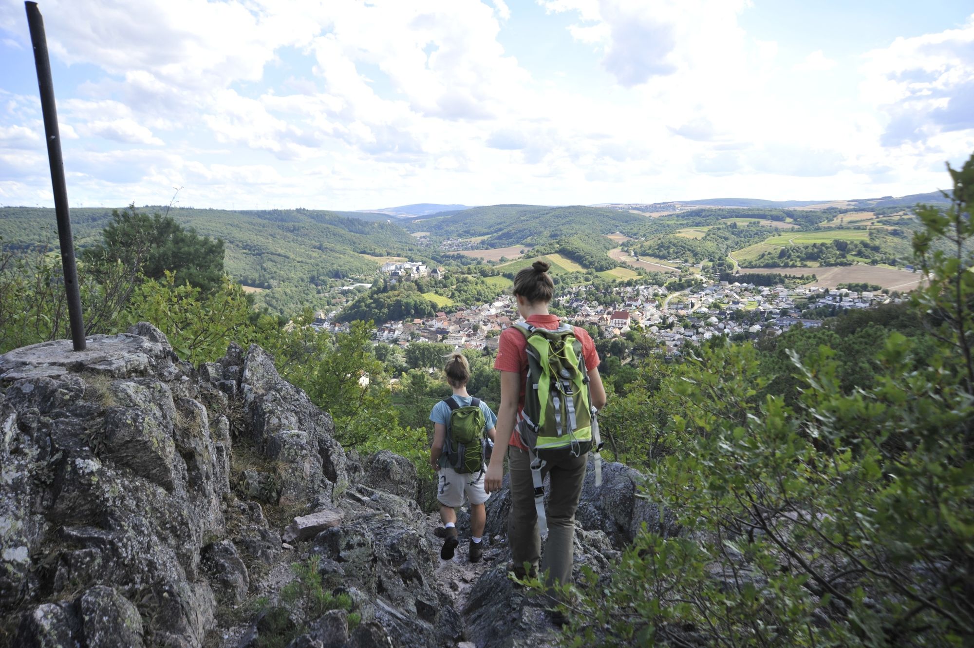
The tour leads from the Rotenfels rock through the city forest to the Kauzenberg and into the new town of Bad Kreuznach. Passing the spa area, the trail leads back to Rotenfels along forest paths.
- Difficoltà
-
difficile
- Valutazione
-
- Percorso
-
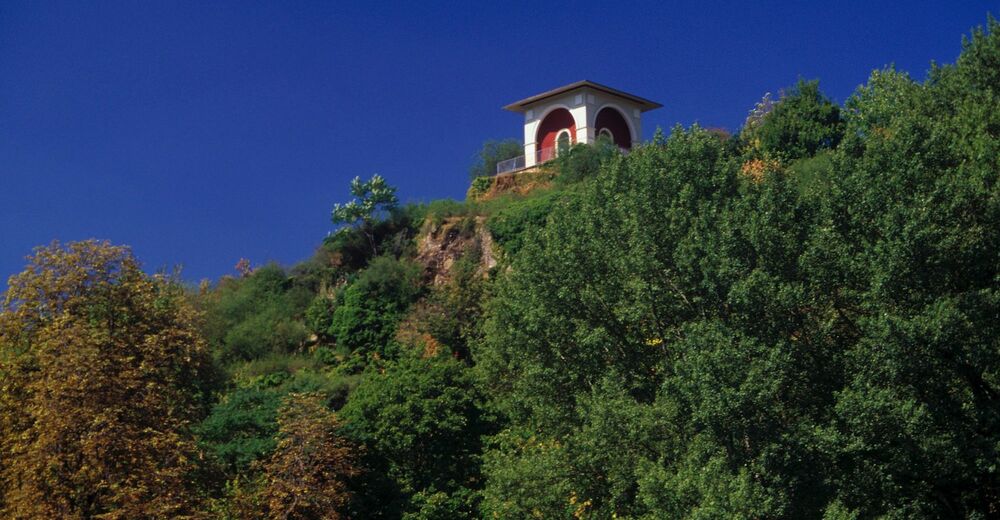
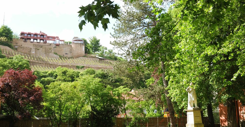
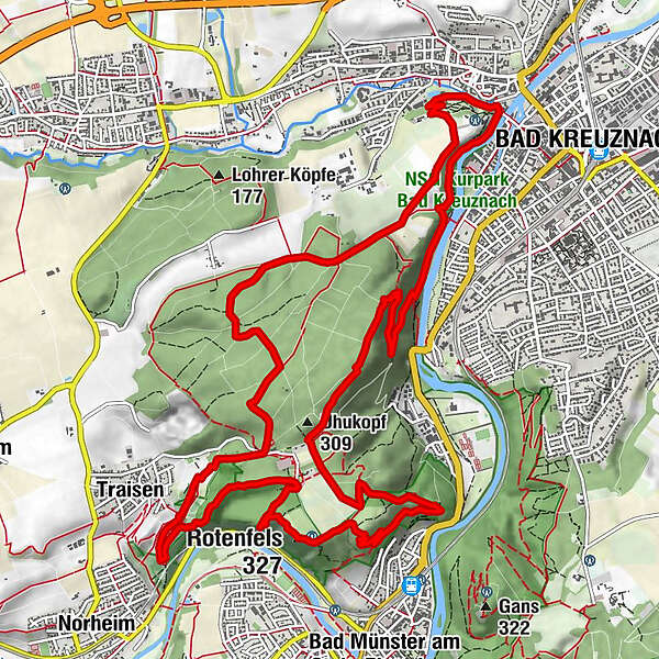
Götzenfelsblick1,5 kmTraisen1,7 kmSchanzenkopf (321 m)3,4 kmDachskopf (277 m)4,3 kmBad Kreuznach (104 m)8,0 kmvan Recums Blick10,9 kmUhukopf (309 m)12,1 kmStegfels13,5 kmRotenfels (327 m)15,6 kmPanoramatafel15,6 kmBastei (300 m)16,1 km
- La stagione migliore
-
genfebmaraprmaggiulugagosetottnovdic
- Punto più alto
- 317 m
- Destinazione
-
Car park Rotenfels or "Alte Nahebrücke" Bad Kreuznach
- Profilo altimetrico
-
 © outdooractive.com


- Autore
-
Il tour 3x3Salinental: VitalTour Rotenfels è utilizzato da outdooractive.com fornito.
GPS Downloads


Info generali
Punto di ristoro
Culturale/Storico
Flora
Fauna
Promettente
Altri tour nelle regioni